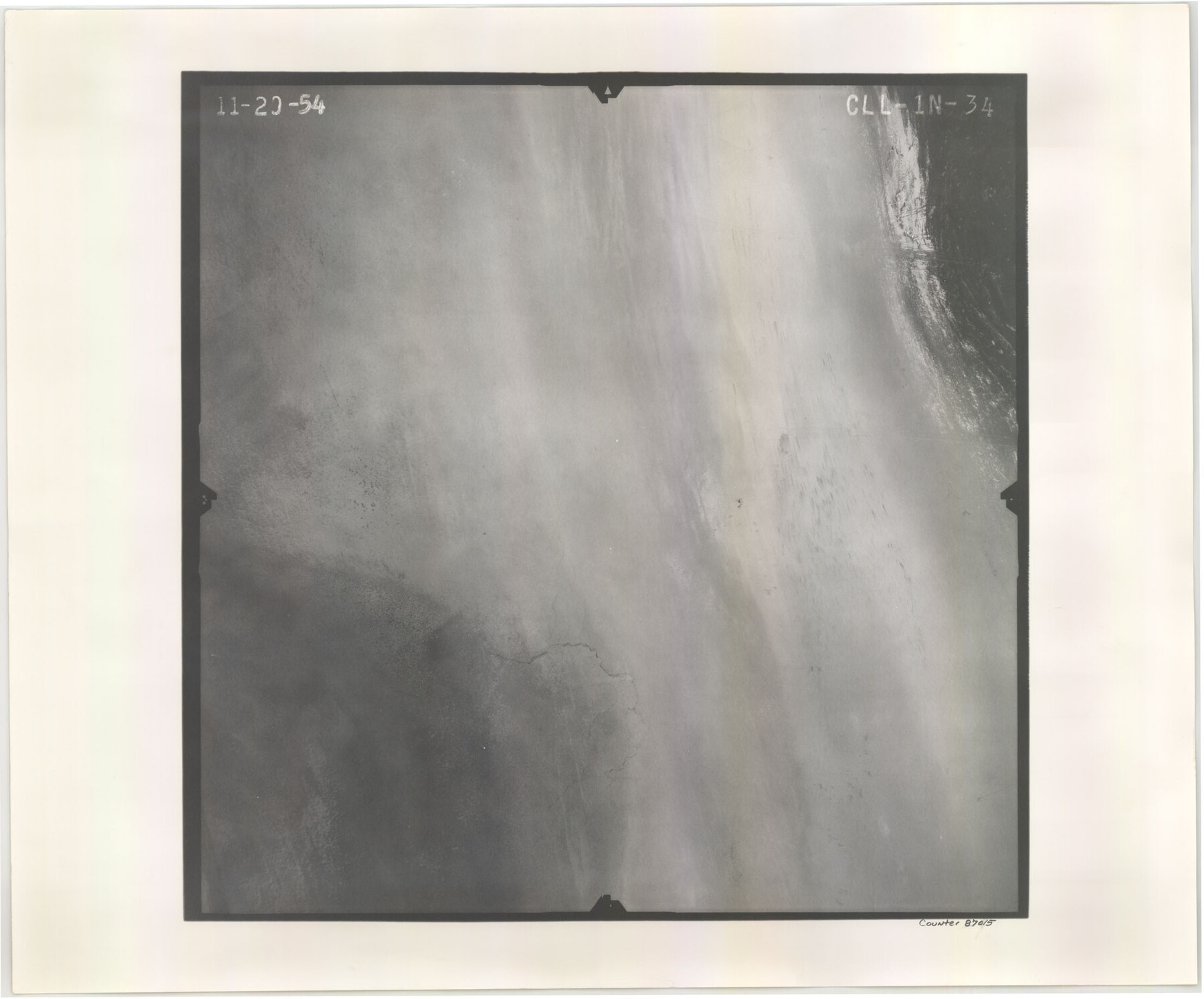
Flight Mission No. CLL-1N, Frame 34, Willacy County
CLL-1N-34
-
Map/Doc
87015
-
Collection
General Map Collection
-
Object Dates
1954/11/20 (Creation Date)
-
People and Organizations
U. S. Department of Agriculture (Publisher)
-
Counties
Willacy
-
Subjects
Aerial Photograph
-
Height x Width
18.4 x 22.2 inches
46.7 x 56.4 cm
-
Comments
Flown by Puckett Aerial Surveys, Inc. of Jackson, Mississippi.
Part of: General Map Collection
Schleicher County Working Sketch 12

Print $20.00
- Digital $50.00
Schleicher County Working Sketch 12
1925
Size 23.7 x 22.2 inches
Map/Doc 63814
Webb County Rolled Sketch 24

Print $20.00
- Digital $50.00
Webb County Rolled Sketch 24
1930
Size 33.0 x 23.0 inches
Map/Doc 8184
Tom Green County Sketch File 37a

Print $24.00
- Digital $50.00
Tom Green County Sketch File 37a
1881
Size 18.5 x 24.0 inches
Map/Doc 12437
Limestone County Sketch File 25

Print $20.00
- Digital $50.00
Limestone County Sketch File 25
Size 25.1 x 32.8 inches
Map/Doc 12003
Gray County Boundary File 8

Print $4.00
- Digital $50.00
Gray County Boundary File 8
Size 14.5 x 9.1 inches
Map/Doc 53900

Flight Mission No. BRA-7M, Frame 77, Jefferson County

Print $20.00
- Digital $50.00
Flight Mission No. BRA-7M, Frame 77, Jefferson County
1953
Size 16.0 x 16.0 inches
Map/Doc 85499
Comanche County Rolled Sketch 2

Print $40.00
- Digital $50.00
Comanche County Rolled Sketch 2
1989
Size 36.9 x 48.6 inches
Map/Doc 10299
Current Miscellaneous File 112

Print $138.00
- Digital $50.00
Current Miscellaneous File 112
Size 11.3 x 8.7 inches
Map/Doc 74718
Coleman County Working Sketch 3

Print $20.00
- Digital $50.00
Coleman County Working Sketch 3
1918
Size 27.1 x 29.2 inches
Map/Doc 68069
Jefferson County Rolled Sketch 33

Print $20.00
- Digital $50.00
Jefferson County Rolled Sketch 33
1956
Size 46.8 x 27.5 inches
Map/Doc 6393
Sabine Bank to East Bay including Heald Bank

Print $20.00
- Digital $50.00
Sabine Bank to East Bay including Heald Bank
1967
Size 45.1 x 34.3 inches
Map/Doc 69848
You may also like
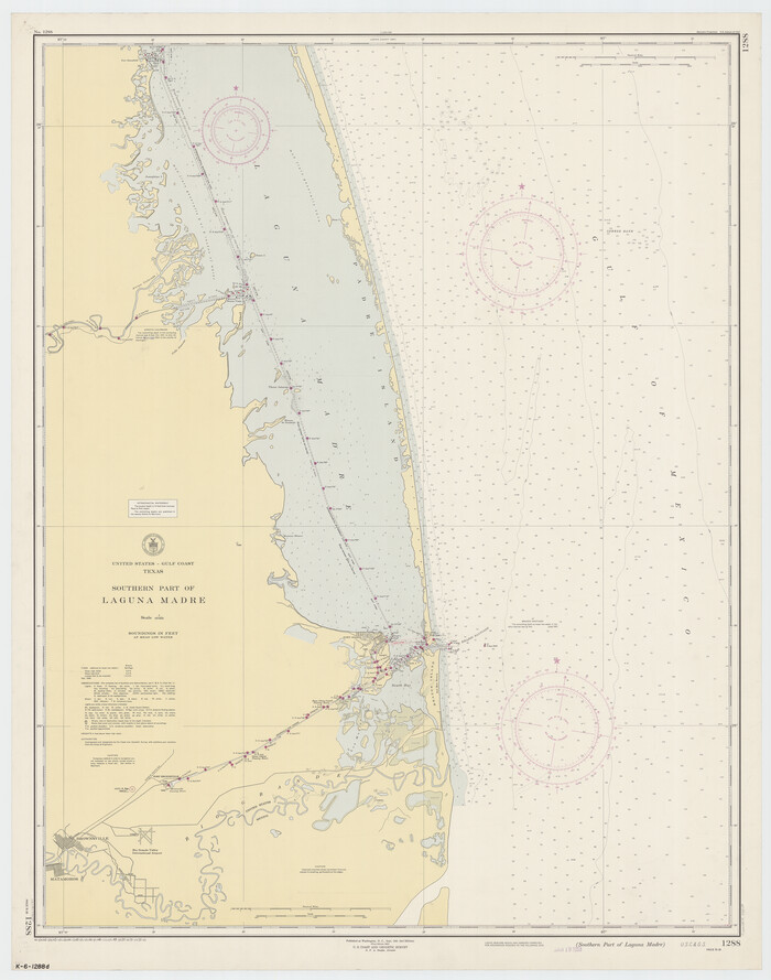
Southern Part of Laguna Madre
Print $20.00
- Digital $50.00
Southern Part of Laguna Madre
1952
Size 44.7 x 35.2 inches
Map/Doc 73537
[Blocks 46, XO3, and Y]
![91181, [Blocks 46, XO3, and Y], Twichell Survey Records](https://historictexasmaps.com/wmedia_w700/maps/91181-1.tif.jpg)
Print $3.00
- Digital $50.00
[Blocks 46, XO3, and Y]
Size 9.8 x 16.0 inches
Map/Doc 91181
Hood County Working Sketch 21

Print $20.00
- Digital $50.00
Hood County Working Sketch 21
1991
Size 28.4 x 24.9 inches
Map/Doc 66215
Burnet County Working Sketch 9

Print $20.00
- Digital $50.00
Burnet County Working Sketch 9
1975
Size 39.7 x 25.2 inches
Map/Doc 67852
Map of Harris County

Print $40.00
- Digital $50.00
Map of Harris County
1896
Size 50.0 x 68.7 inches
Map/Doc 4675
Lampasas County Working Sketch Graphic Index

Print $20.00
- Digital $50.00
Lampasas County Working Sketch Graphic Index
1972
Size 34.6 x 42.0 inches
Map/Doc 76614
Hood County Working Sketch 28

Print $20.00
- Digital $50.00
Hood County Working Sketch 28
1995
Size 17.5 x 11.4 inches
Map/Doc 66222
Tom Green County

Print $40.00
- Digital $50.00
Tom Green County
Size 43.6 x 111.2 inches
Map/Doc 82058
Edwards County Sketch File 45

Print $26.00
- Digital $50.00
Edwards County Sketch File 45
1890
Size 13.3 x 8.4 inches
Map/Doc 21779
Right of Way and Track Map, Dayton-Goose Creek Ry. Co., Station 612+40 to Station 792+00

Print $40.00
- Digital $50.00
Right of Way and Track Map, Dayton-Goose Creek Ry. Co., Station 612+40 to Station 792+00
1917
Size 25.3 x 56.5 inches
Map/Doc 64368
[Township 3 North, Block 34]
![91227, [Township 3 North, Block 34], Twichell Survey Records](https://historictexasmaps.com/wmedia_w700/maps/91227-1.tif.jpg)
Print $2.00
- Digital $50.00
[Township 3 North, Block 34]
Size 9.2 x 11.7 inches
Map/Doc 91227
Franklin County Boundary File 1

Print $8.00
- Digital $50.00
Franklin County Boundary File 1
Size 12.9 x 8.1 inches
Map/Doc 53569