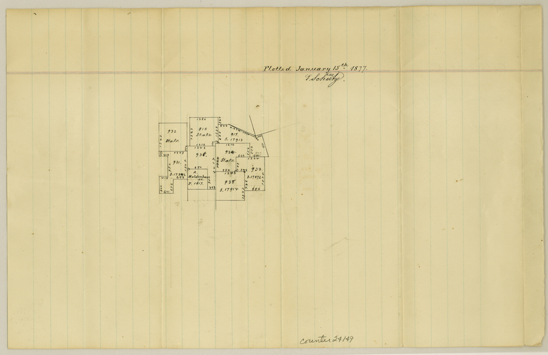
Gillespie County Sketch File 11
[Sketch of surveys northwest of Fredericksburg]
-
Map/Doc
24149
-
Collection
General Map Collection
-
Object Dates
1877/1/15 (Creation Date)
-
People and Organizations
E. Schutze (Draftsman)
-
Counties
Gillespie
-
Subjects
Surveying Sketch File
-
Height x Width
8.3 x 12.8 inches
21.1 x 32.5 cm
-
Medium
paper, manuscript
Part of: General Map Collection
Flight Mission No. DIX-8P, Frame 93, Aransas County

Print $20.00
- Digital $50.00
Flight Mission No. DIX-8P, Frame 93, Aransas County
1956
Size 18.5 x 22.3 inches
Map/Doc 83918
Hays County Sketch File 13a

Print $40.00
- Digital $50.00
Hays County Sketch File 13a
Size 12.3 x 15.0 inches
Map/Doc 26223
Anderson County Rolled Sketch 6

Print $40.00
- Digital $50.00
Anderson County Rolled Sketch 6
Size 93.3 x 43.5 inches
Map/Doc 81901
Flight Mission No. DCL-7C, Frame 113, Kenedy County

Print $20.00
- Digital $50.00
Flight Mission No. DCL-7C, Frame 113, Kenedy County
1943
Size 18.5 x 22.2 inches
Map/Doc 86078
Henderson County Working Sketch 21

Print $20.00
- Digital $50.00
Henderson County Working Sketch 21
1948
Size 17.1 x 16.2 inches
Map/Doc 66154
Webb County Sketch File 11

Print $18.00
- Digital $50.00
Webb County Sketch File 11
1883
Size 8.7 x 7.6 inches
Map/Doc 39770
Flight Mission No. DQN-1K, Frame 103, Calhoun County

Print $20.00
- Digital $50.00
Flight Mission No. DQN-1K, Frame 103, Calhoun County
1953
Size 18.5 x 22.1 inches
Map/Doc 84170
Foard County Rolled Sketch 15A

Print $20.00
- Digital $50.00
Foard County Rolled Sketch 15A
1889
Size 37.5 x 36.1 inches
Map/Doc 8339
Kerr County Sketch File 19

Print $20.00
- Digital $50.00
Kerr County Sketch File 19
1950
Size 22.8 x 23.9 inches
Map/Doc 11922
Lavaca County Working Sketch 23

Print $20.00
- Digital $50.00
Lavaca County Working Sketch 23
1985
Size 37.8 x 39.8 inches
Map/Doc 70376
Hale County Boundary File 3

Print $40.00
- Digital $50.00
Hale County Boundary File 3
Size 31.4 x 41.5 inches
Map/Doc 54046
Johnson County Working Sketch 5

Print $4.00
- Digital $50.00
Johnson County Working Sketch 5
1950
Size 25.8 x 22.3 inches
Map/Doc 66618
You may also like
Harris County

Print $40.00
- Digital $50.00
Harris County
1896
Size 44.4 x 69.3 inches
Map/Doc 66857
Webb County Rolled Sketch 54

Print $20.00
- Digital $50.00
Webb County Rolled Sketch 54
1935
Size 24.8 x 18.6 inches
Map/Doc 8207
The Republic County of Bowie. June 24, 1841

Print $20.00
The Republic County of Bowie. June 24, 1841
2020
Size 19.5 x 21.7 inches
Map/Doc 96104
T. C. Ivey Ranch, Block D, Yoakum Co., Texas

Print $20.00
- Digital $50.00
T. C. Ivey Ranch, Block D, Yoakum Co., Texas
Size 17.1 x 14.6 inches
Map/Doc 91976
Brazoria County Working Sketch 38

Print $40.00
- Digital $50.00
Brazoria County Working Sketch 38
1981
Size 53.2 x 37.7 inches
Map/Doc 67523
Mason County Boundary File 4

Print $38.00
- Digital $50.00
Mason County Boundary File 4
Size 8.7 x 4.0 inches
Map/Doc 56852
Bowie County Rolled Sketch 4

Print $20.00
- Digital $50.00
Bowie County Rolled Sketch 4
Size 46.1 x 43.6 inches
Map/Doc 8456
Rusk County Working Sketch 23

Print $20.00
- Digital $50.00
Rusk County Working Sketch 23
Size 23.9 x 26.5 inches
Map/Doc 63659
Liberty County Working Sketch 19

Print $20.00
- Digital $50.00
Liberty County Working Sketch 19
1940
Size 29.2 x 41.3 inches
Map/Doc 70478
Webb County Sketch File 9a

Print $20.00
- Digital $50.00
Webb County Sketch File 9a
1930
Size 31.4 x 23.9 inches
Map/Doc 12619
The Rand-McNally New Commercial Atlas Map of Texas

Print $20.00
The Rand-McNally New Commercial Atlas Map of Texas
1914
Size 28.6 x 42.4 inches
Map/Doc 78225
Baie de Galvez-Town

Print $20.00
- Digital $50.00
Baie de Galvez-Town
Size 10.3 x 12.9 inches
Map/Doc 95832