[Surveys South of the Levi Jordan Title, Southwest of the Neches River]
37-5
-
Map/Doc
90424
-
Collection
Twichell Survey Records
-
Counties
Cherokee
-
Height x Width
33.4 x 43.3 inches
84.8 x 110.0 cm
Part of: Twichell Survey Records
[T.& P.R.R.Co., Block 1]
![92963, [T.& P.R.R.Co., Block 1], Twichell Survey Records](https://historictexasmaps.com/wmedia_w700/maps/92963-1.tif.jpg)
![92963, [T.& P.R.R.Co., Block 1], Twichell Survey Records](https://historictexasmaps.com/wmedia_w700/maps/92963-1.tif.jpg)
Print $20.00
- Digital $50.00
[T.& P.R.R.Co., Block 1]
Size 37.5 x 31.6 inches
Map/Doc 92963
Map Showing the Jo Dick Slaughter Lands in Dawson, Martin, Borden, and Howard Counties, Texas
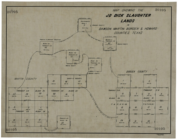

Print $20.00
- Digital $50.00
Map Showing the Jo Dick Slaughter Lands in Dawson, Martin, Borden, and Howard Counties, Texas
Size 26.6 x 20.8 inches
Map/Doc 92506
Sketch in Terry & Yoakum Counties
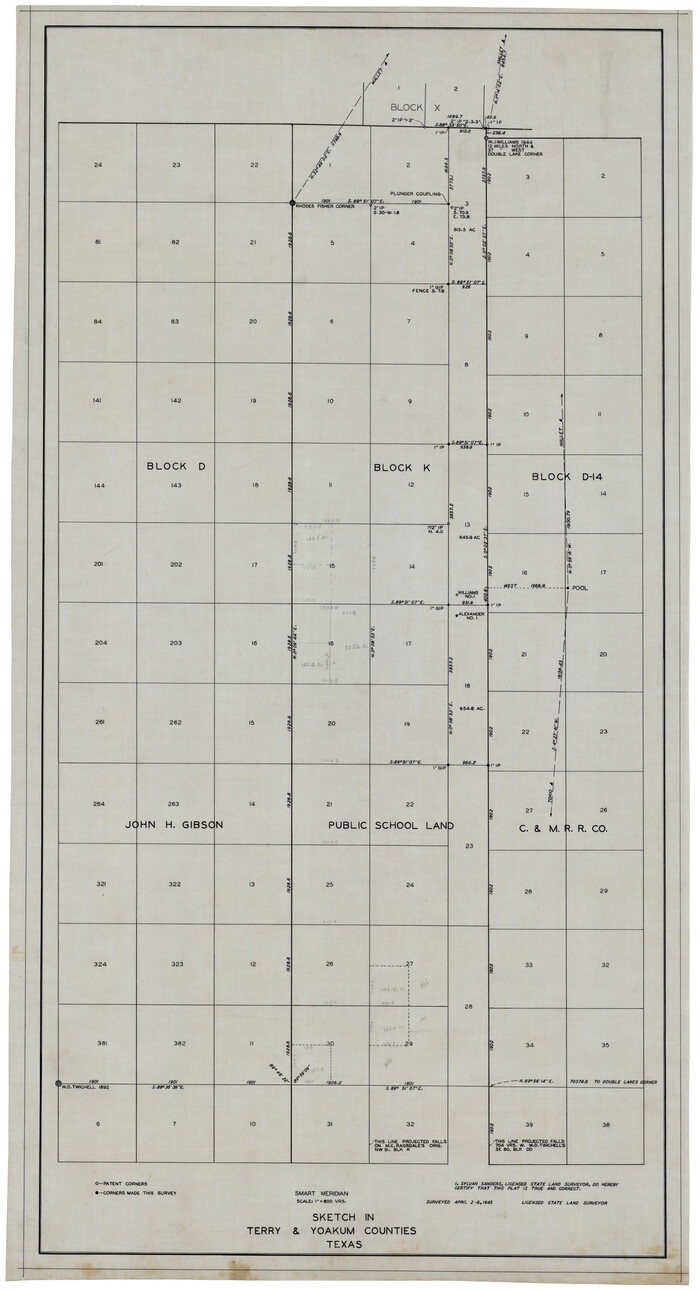

Print $20.00
- Digital $50.00
Sketch in Terry & Yoakum Counties
1945
Size 21.8 x 40.0 inches
Map/Doc 92854
General Highway Map Cochran County, Texas


Print $20.00
- Digital $50.00
General Highway Map Cochran County, Texas
1948
Size 18.7 x 25.6 inches
Map/Doc 92498
[Map showing connecting line from New Mexico to Double Lakes]
![91998, [Map showing connecting line from New Mexico to Double Lakes], Twichell Survey Records](https://historictexasmaps.com/wmedia_w700/maps/91998-1.tif.jpg)
![91998, [Map showing connecting line from New Mexico to Double Lakes], Twichell Survey Records](https://historictexasmaps.com/wmedia_w700/maps/91998-1.tif.jpg)
Print $20.00
- Digital $50.00
[Map showing connecting line from New Mexico to Double Lakes]
1913
Size 39.6 x 24.2 inches
Map/Doc 91998
[Texas Boundary Line]
![92072, [Texas Boundary Line], Twichell Survey Records](https://historictexasmaps.com/wmedia_w700/maps/92072-1.tif.jpg)
![92072, [Texas Boundary Line], Twichell Survey Records](https://historictexasmaps.com/wmedia_w700/maps/92072-1.tif.jpg)
Print $20.00
- Digital $50.00
[Texas Boundary Line]
Size 21.6 x 12.9 inches
Map/Doc 92072
[State of Texas]
![92061, [State of Texas], Twichell Survey Records](https://historictexasmaps.com/wmedia_w700/maps/92061-1.tif.jpg)
![92061, [State of Texas], Twichell Survey Records](https://historictexasmaps.com/wmedia_w700/maps/92061-1.tif.jpg)
Print $20.00
- Digital $50.00
[State of Texas]
Size 13.7 x 13.7 inches
Map/Doc 92061
N. F. Cleavinger


Print $3.00
- Digital $50.00
N. F. Cleavinger
Size 16.5 x 10.6 inches
Map/Doc 92406
[Part of Block 3, Leagues 83, 84, 95, 96, 104, 105, 116-113, 127-132, 140-142]
![90572, [Part of Block 3, Leagues 83, 84, 95, 96, 104, 105, 116-113, 127-132, 140-142], Twichell Survey Records](https://historictexasmaps.com/wmedia_w700/maps/90572-1.tif.jpg)
![90572, [Part of Block 3, Leagues 83, 84, 95, 96, 104, 105, 116-113, 127-132, 140-142], Twichell Survey Records](https://historictexasmaps.com/wmedia_w700/maps/90572-1.tif.jpg)
Print $20.00
- Digital $50.00
[Part of Block 3, Leagues 83, 84, 95, 96, 104, 105, 116-113, 127-132, 140-142]
Size 25.9 x 31.6 inches
Map/Doc 90572
Ellwood Corrections, Block T
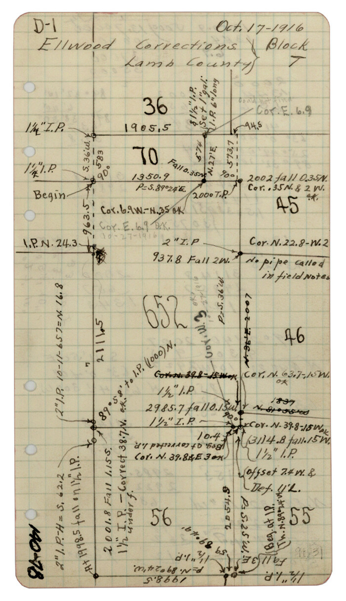

Print $2.00
- Digital $50.00
Ellwood Corrections, Block T
Size 4.0 x 7.0 inches
Map/Doc 90952
Andrews County
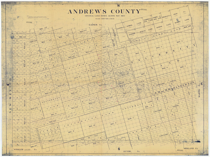

Print $40.00
- Digital $50.00
Andrews County
1925
Size 56.5 x 42.8 inches
Map/Doc 89866
Map of T. C. Spearman's Lands in Gaines, Terry and Yoakum Counties, Texas


Print $3.00
- Digital $50.00
Map of T. C. Spearman's Lands in Gaines, Terry and Yoakum Counties, Texas
1917
Size 12.4 x 10.2 inches
Map/Doc 92002
You may also like
Capitol Land and Investment Company's List of Texas Lands
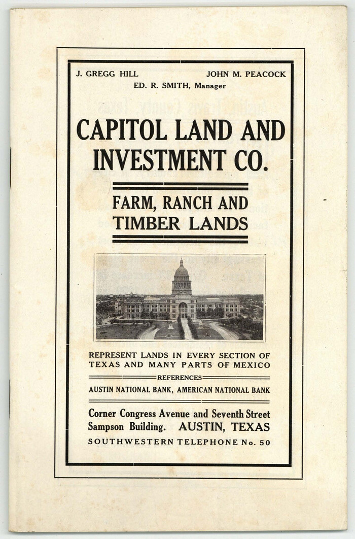

Capitol Land and Investment Company's List of Texas Lands
1907
Size 7.9 x 5.2 inches
Map/Doc 97052
The Railroad System of Texas on September 1st, 1887
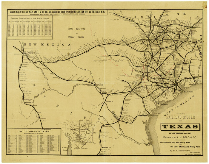

Print $20.00
- Digital $50.00
The Railroad System of Texas on September 1st, 1887
1887
Size 22.2 x 28.2 inches
Map/Doc 3036
Kendall County Sketch File 16a
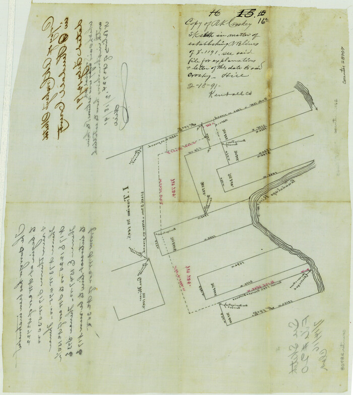

Print $40.00
- Digital $50.00
Kendall County Sketch File 16a
1891
Size 15.3 x 13.7 inches
Map/Doc 28707
Fractional Township No. 9 South Range No. 8 East of the Indian Meridian, Indian Territory
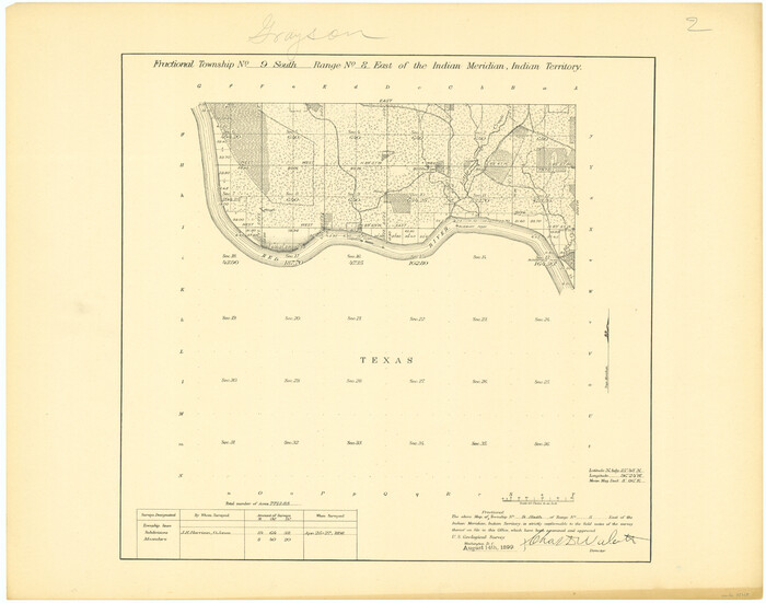

Print $20.00
- Digital $50.00
Fractional Township No. 9 South Range No. 8 East of the Indian Meridian, Indian Territory
1898
Size 19.2 x 24.4 inches
Map/Doc 75215
Topographisch-geognostische Karte von Texas mit Zugrundelegung der geographischen Karte v. Wilson nach eigenen Beobachtungen bearbeitet von Dr. Ferd. Roemer


Print $20.00
- Digital $50.00
Topographisch-geognostische Karte von Texas mit Zugrundelegung der geographischen Karte v. Wilson nach eigenen Beobachtungen bearbeitet von Dr. Ferd. Roemer
1849
Size 23.5 x 21.0 inches
Map/Doc 96523
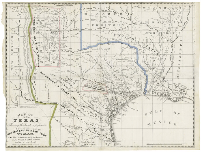
Map of Texas shewing the grants in possession of the Colorado & Red River Land Compy

Print $20.00
- Digital $50.00
Map of Texas shewing the grants in possession of the Colorado & Red River Land Compy
1835
Size 20.3 x 26.9 inches
Map/Doc 93850
Gillespie County Sketch File 7


Print $4.00
- Digital $50.00
Gillespie County Sketch File 7
1872
Size 7.7 x 7.3 inches
Map/Doc 24141
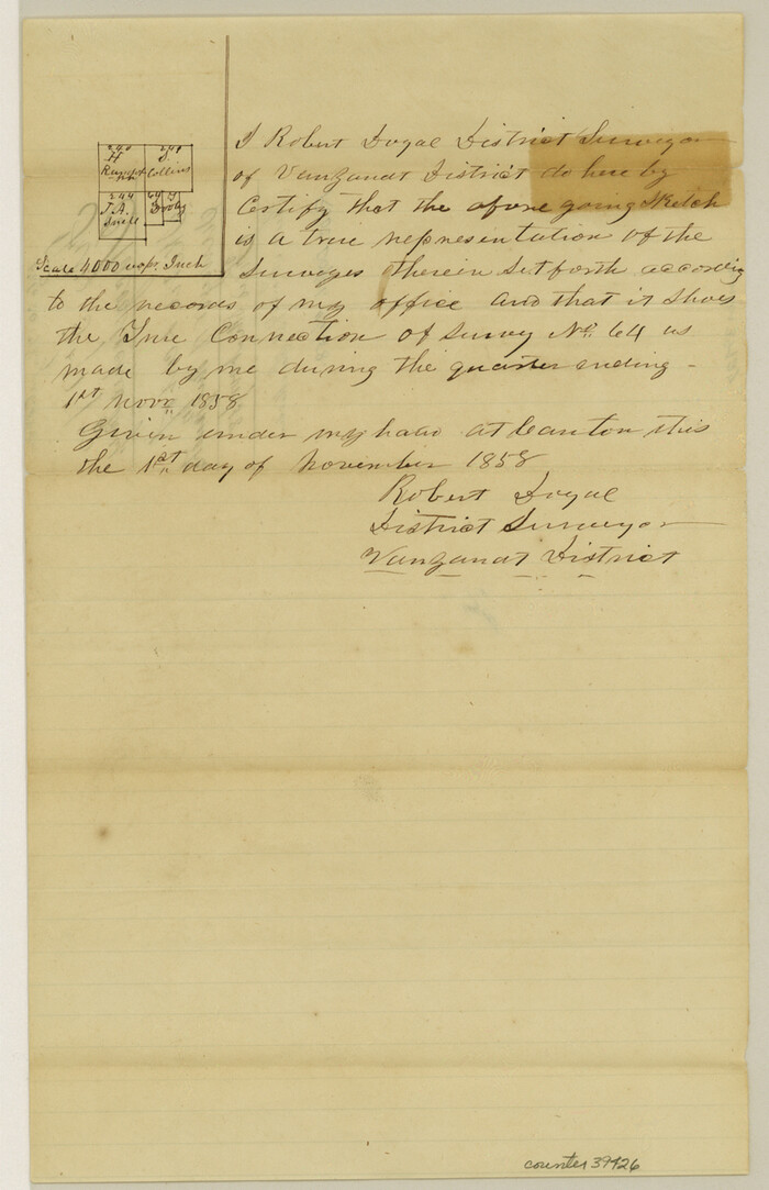
Van Zandt County Sketch File 20

Print $4.00
- Digital $50.00
Van Zandt County Sketch File 20
1858
Size 12.1 x 7.9 inches
Map/Doc 39426
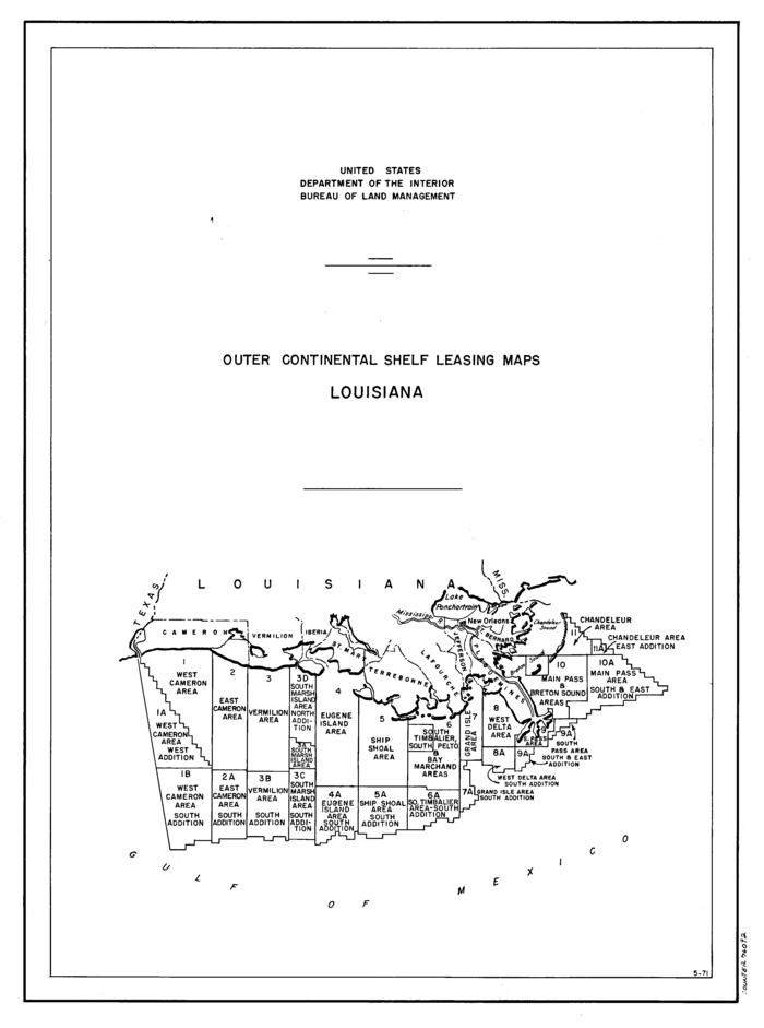
Outer Continental Shelf Leasing Maps (Louisiana Offshore Operations)

Print $20.00
- Digital $50.00
Outer Continental Shelf Leasing Maps (Louisiana Offshore Operations)
1971
Size 20.2 x 15.0 inches
Map/Doc 76092
Presidio County Sketch File 105


Print $40.00
- Digital $50.00
Presidio County Sketch File 105
Size 15.6 x 59.1 inches
Map/Doc 82963
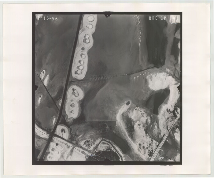
Flight Mission No. BRE-1P, Frame 141, Nueces County

Print $20.00
- Digital $50.00
Flight Mission No. BRE-1P, Frame 141, Nueces County
1956
Size 18.7 x 22.5 inches
Map/Doc 86701
Map of the Rio Grande & Eagle Pass Ry. from Sections 21-25 9/10 Inclusive, Webb County


Print $40.00
- Digital $50.00
Map of the Rio Grande & Eagle Pass Ry. from Sections 21-25 9/10 Inclusive, Webb County
1909
Size 25.8 x 55.4 inches
Map/Doc 64658
![90424, [Surveys South of the Levi Jordan Title, Southwest of the Neches River], Twichell Survey Records](https://historictexasmaps.com/wmedia_w1800h1800/maps/90424-1.tif.jpg)