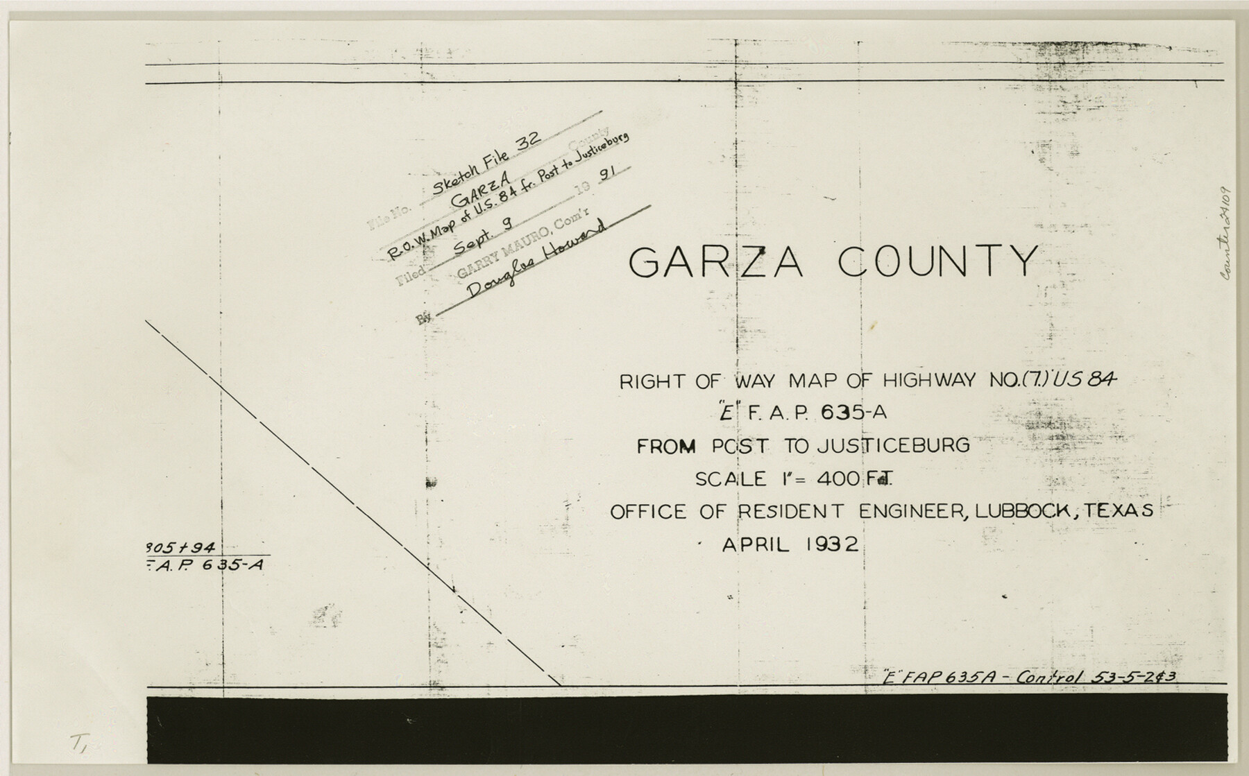
Garza County Sketch File 32
[R.O.W. map of US-84 from Post to Justiceburg]
-
Map/Doc
24109
-
Collection
General Map Collection
-
Object Dates
1932 (Creation Date)
1991/9/9 (File Date)
-
People and Organizations
Texas Highway Department (Surveyor/Engineer)
-
Counties
Garza
-
Subjects
Surveying Sketch File
-
Height x Width
8.9 x 14.3 inches
22.6 x 36.3 cm
-
Medium
paper, photocopy
-
Scale
1:400
-
Features
Second Street
H Street
G Street
F Street
E Street
D Street
C Street
B Street
Main Street
Highway No. 7 U.S. 84
Fourth Street
Sixth Street
Tenth Street
Twelfth Street
Railroad line to Slaton
P&SF
Justiceburg
Post
Part of: General Map Collection
Starr County Working Sketch 27

Print $20.00
- Digital $50.00
Starr County Working Sketch 27
1994
Size 29.6 x 30.3 inches
Map/Doc 63943
King County Sketch File 11

Print $40.00
- Digital $50.00
King County Sketch File 11
1902
Size 13.7 x 9.1 inches
Map/Doc 29085
Castro County Boundary File 1b

Print $32.00
- Digital $50.00
Castro County Boundary File 1b
Size 14.1 x 8.6 inches
Map/Doc 51208
Nueces County Sketch File 68

Print $8.00
- Digital $50.00
Nueces County Sketch File 68
Size 11.0 x 8.7 inches
Map/Doc 33000
Webb County Working Sketch 90

Print $20.00
- Digital $50.00
Webb County Working Sketch 90
1982
Size 26.9 x 25.5 inches
Map/Doc 72457
Hays County Sketch File 2

Print $4.00
- Digital $50.00
Hays County Sketch File 2
1846
Size 6.3 x 8.1 inches
Map/Doc 26200
Presidio County Sketch File 116A

Print $63.00
- Digital $50.00
Presidio County Sketch File 116A
Size 17.0 x 11.0 inches
Map/Doc 34885
Smith County Working Sketch 13

Print $20.00
- Digital $50.00
Smith County Working Sketch 13
1962
Size 36.8 x 27.4 inches
Map/Doc 63898
Flight Mission No. BRA-7M, Frame 31, Jefferson County

Print $20.00
- Digital $50.00
Flight Mission No. BRA-7M, Frame 31, Jefferson County
1953
Size 18.5 x 22.3 inches
Map/Doc 85482
Reagan County Working Sketch 43

Print $20.00
- Digital $50.00
Reagan County Working Sketch 43
1984
Size 36.4 x 27.1 inches
Map/Doc 71885

Right of Way & Track Map, St. Louis, Brownsville & Mexico Ry. operated by St. Louis, Brownsville & Mexico Ry. Co.

Print $40.00
- Digital $50.00
Right of Way & Track Map, St. Louis, Brownsville & Mexico Ry. operated by St. Louis, Brownsville & Mexico Ry. Co.
1919
Size 25.5 x 57.1 inches
Map/Doc 64624
You may also like
Atascosa County Sketch File 27d

Print $8.00
- Digital $50.00
Atascosa County Sketch File 27d
1876
Size 10.9 x 8.9 inches
Map/Doc 13812
Controlled Mosaic by Jack Amman Photogrammetric Engineers, Inc - Sheet 46

Print $20.00
- Digital $50.00
Controlled Mosaic by Jack Amman Photogrammetric Engineers, Inc - Sheet 46
1954
Size 20.0 x 24.0 inches
Map/Doc 83505
Aransas County NRC Article 33.136 Sketch 10

Print $26.00
- Digital $50.00
Aransas County NRC Article 33.136 Sketch 10
Size 24.2 x 36.0 inches
Map/Doc 95016


The Kennedy and Pringle Colony. February 15, 1842

Print $20.00
The Kennedy and Pringle Colony. February 15, 1842
2020
Size 23.0 x 17.7 inches
Map/Doc 96367
Coast of Texas and its defences

Print $20.00
- Digital $50.00
Coast of Texas and its defences
Size 27.8 x 18.2 inches
Map/Doc 72684

Flight Mission No. BRA-16M, Frame 96, Jefferson County

Print $20.00
- Digital $50.00
Flight Mission No. BRA-16M, Frame 96, Jefferson County
1953
Size 18.6 x 22.4 inches
Map/Doc 85708
Edwards County Sketch File 49

Print $20.00
- Digital $50.00
Edwards County Sketch File 49
1958
Size 25.6 x 27.9 inches
Map/Doc 11444
Dr. Ross Trigg's Ranch [Block 29E, Townships 14N and 15N]
![92036, Dr. Ross Trigg's Ranch [Block 29E, Townships 14N and 15N], Twichell Survey Records](https://historictexasmaps.com/wmedia_w700/maps/92036-1.tif.jpg)
Print $20.00
- Digital $50.00
Dr. Ross Trigg's Ranch [Block 29E, Townships 14N and 15N]
Size 25.8 x 19.6 inches
Map/Doc 92036
[Surveys in Austin's Colony]
![78, [Surveys in Austin's Colony], General Map Collection](https://historictexasmaps.com/wmedia_w700/maps/78.tif.jpg)
Print $20.00
- Digital $50.00
[Surveys in Austin's Colony]
Size 16.0 x 13.0 inches
Map/Doc 78