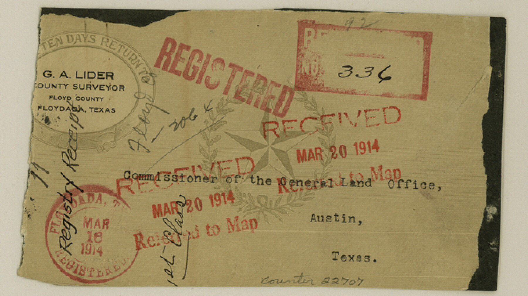
Floyd County Sketch File 11
[Envelope]
-
Map/Doc
22707
-
Collection
General Map Collection
-
Object Dates
1914/3/20 (Creation Date)
1914/3/20 (File Date)
-
People and Organizations
G.A. Lider (Surveyor/Engineer)
-
Counties
Floyd
-
Subjects
Surveying Sketch File
-
Height x Width
3.8 x 6.7 inches
9.7 x 17.0 cm
-
Medium
paper, print with manuscript additions
Part of: General Map Collection
Flight Mission No. CUG-1P, Frame 41, Kleberg County

Print $20.00
- Digital $50.00
Flight Mission No. CUG-1P, Frame 41, Kleberg County
1956
Size 18.7 x 22.3 inches
Map/Doc 86119
Montgomery County Sketch File 9

Print $6.00
- Digital $50.00
Montgomery County Sketch File 9
Size 9.0 x 7.6 inches
Map/Doc 31795
Flight Mission No. DQO-2K, Frame 138, Galveston County

Print $20.00
- Digital $50.00
Flight Mission No. DQO-2K, Frame 138, Galveston County
1952
Size 18.8 x 22.6 inches
Map/Doc 85035
San Jacinto River, Houston Ship Channel

Print $2.00
- Digital $50.00
San Jacinto River, Houston Ship Channel
1939
Size 11.7 x 17.7 inches
Map/Doc 65150
Dallas County Boundary File 6e

Print $70.00
- Digital $50.00
Dallas County Boundary File 6e
Size 16.6 x 22.5 inches
Map/Doc 52254
San Jacinto County Working Sketch 34

Print $20.00
- Digital $50.00
San Jacinto County Working Sketch 34
1955
Size 25.2 x 25.2 inches
Map/Doc 63747
Gregg County Rolled Sketch FB

Print $84.00
- Digital $50.00
Gregg County Rolled Sketch FB
1932
Size 25.2 x 56.7 inches
Map/Doc 9326
Flight Mission No. DQO-8K, Frame 64, Galveston County

Print $20.00
- Digital $50.00
Flight Mission No. DQO-8K, Frame 64, Galveston County
1952
Size 18.6 x 22.4 inches
Map/Doc 85168
Current Miscellaneous File 85

Print $10.00
- Digital $50.00
Current Miscellaneous File 85
Size 11.3 x 8.8 inches
Map/Doc 74235
Val Verde County Sketch File 27

Print $40.00
- Digital $50.00
Val Verde County Sketch File 27
Size 8.7 x 19.4 inches
Map/Doc 39234
Hays County Working Sketch 13

Print $20.00
- Digital $50.00
Hays County Working Sketch 13
1952
Size 24.2 x 35.0 inches
Map/Doc 66087
Flight Mission No. CLL-1N, Frame 16, Willacy County

Print $20.00
- Digital $50.00
Flight Mission No. CLL-1N, Frame 16, Willacy County
1954
Size 18.3 x 22.0 inches
Map/Doc 87003
You may also like
Austin County Working Sketch 4

Print $20.00
- Digital $50.00
Austin County Working Sketch 4
1959
Size 29.8 x 34.8 inches
Map/Doc 67245
Bee County Sketch File 7

Print $8.00
- Digital $50.00
Bee County Sketch File 7
1873
Size 10.1 x 8.0 inches
Map/Doc 14275
Jefferson County Rolled Sketch 57

Print $20.00
- Digital $50.00
Jefferson County Rolled Sketch 57
1883
Size 18.6 x 25.9 inches
Map/Doc 6409
Uvalde County Working Sketch 6

Print $20.00
- Digital $50.00
Uvalde County Working Sketch 6
1940
Size 37.8 x 38.9 inches
Map/Doc 72076
Brewster County Rolled Sketch 138

Print $20.00
- Digital $50.00
Brewster County Rolled Sketch 138
1982
Size 24.5 x 38.0 inches
Map/Doc 5306
Brown County Sketch File 12a

Print $8.00
- Digital $50.00
Brown County Sketch File 12a
1870
Size 12.4 x 8.1 inches
Map/Doc 16604
Reeves County Rolled Sketch 20

Print $20.00
- Digital $50.00
Reeves County Rolled Sketch 20
Size 32.1 x 38.4 inches
Map/Doc 9852
Crockett County Rolled Sketch 57

Print $40.00
- Digital $50.00
Crockett County Rolled Sketch 57
1944
Size 52.7 x 28.0 inches
Map/Doc 8719
[Surveys along the Pedernales River and Cypress Creek]
![121, [Surveys along the Pedernales River and Cypress Creek], General Map Collection](https://historictexasmaps.com/wmedia_w700/maps/121.tif.jpg)
Print $2.00
- Digital $50.00
[Surveys along the Pedernales River and Cypress Creek]
1841
Size 8.3 x 7.7 inches
Map/Doc 121
Dickens County Rolled Sketch 5A

Print $40.00
- Digital $50.00
Dickens County Rolled Sketch 5A
1947
Size 60.3 x 40.9 inches
Map/Doc 8788
Moore County Rolled Sketch 16A

Print $20.00
- Digital $50.00
Moore County Rolled Sketch 16A
1982
Size 21.1 x 33.4 inches
Map/Doc 6834
Pecos County Rolled Sketch 22

Print $20.00
- Digital $50.00
Pecos County Rolled Sketch 22
1886
Size 24.3 x 37.0 inches
Map/Doc 93455