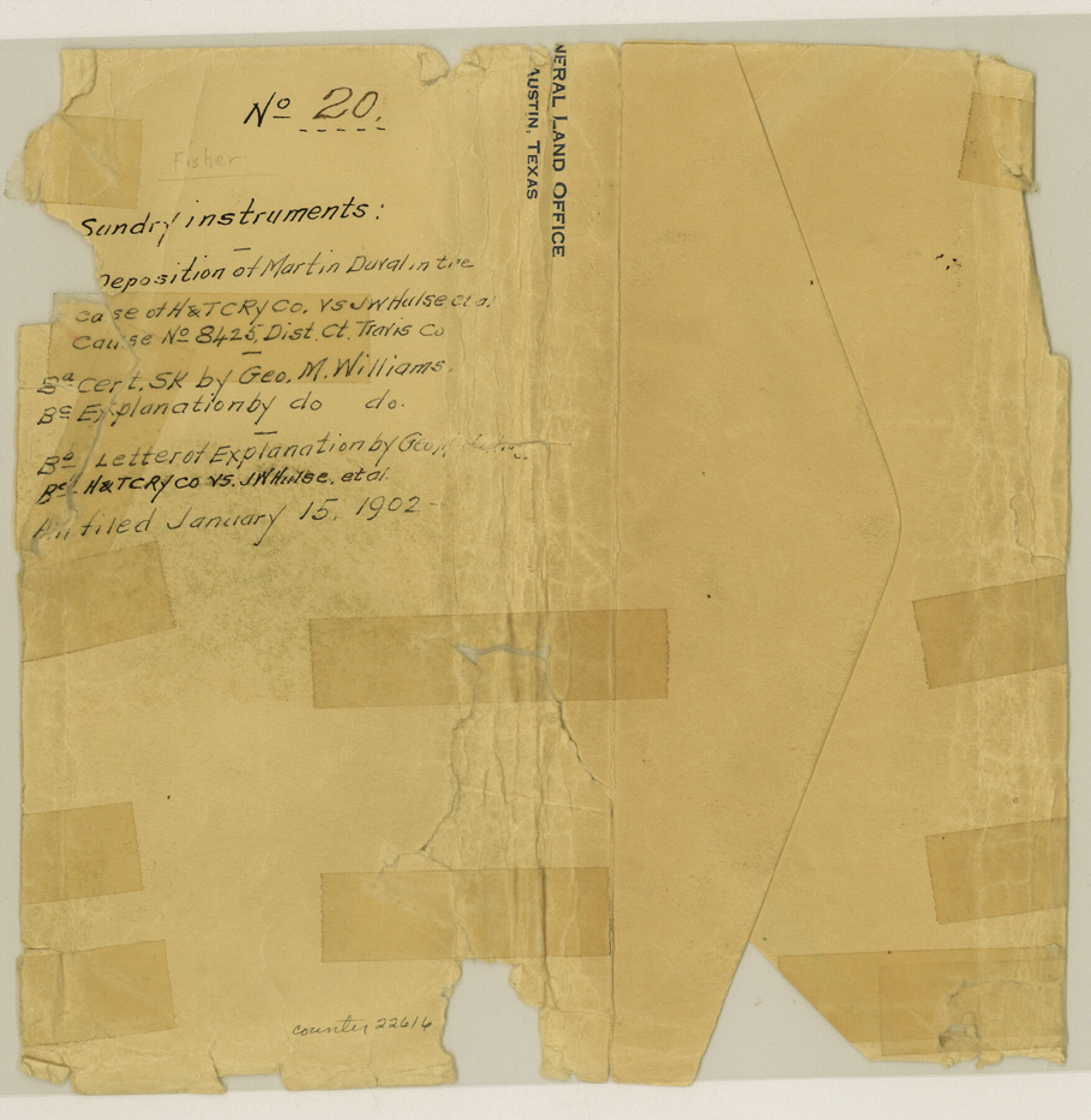
Fisher County Sketch File 20
[Multiple documents and correspondence regarding H. & T. C. RR. Co. vs. J. W. Hulse, et al]
-
Map/Doc
22616
-
Collection
General Map Collection
-
Object Dates
1902/1/15 (File Date)
1883 (Survey Date)
1891 (Survey Date)
-
People and Organizations
Martin Duvall (Surveyor/Engineer)
E.A. Williams (Surveyor/Engineer)
W.C. Breedlove (Surveyor/Engineer)
Harry Sappington (Surveyor/Engineer)
George M. Williams (Surveyor/Engineer)
-
Counties
Fisher
-
Subjects
Surveying Sketch File
-
Height x Width
9.3 x 9.1 inches
23.6 x 23.1 cm
-
Medium
paper, print
-
Features
Little Elm Creek
Big Elm Creek
Cottonwood Creek
Clear Fork [of Brazos River]
Phantom Hill
Sweetwater Creek
Elm Fork
Part of: General Map Collection
Austin County Sketch File 10

Print $40.00
- Digital $50.00
Austin County Sketch File 10
1895
Size 25.5 x 21.0 inches
Map/Doc 10875
Calhoun County Boundary File 4

Print $96.00
- Digital $50.00
Calhoun County Boundary File 4
Size 14.3 x 8.7 inches
Map/Doc 50979
Collingsworth County Rolled Sketch 4

Print $20.00
- Digital $50.00
Collingsworth County Rolled Sketch 4
1960
Size 34.0 x 20.8 inches
Map/Doc 5532
Dallas County Working Sketch 8

Print $20.00
- Digital $50.00
Dallas County Working Sketch 8
1953
Size 20.6 x 26.4 inches
Map/Doc 68574
Parker County Sketch File 27

Print $20.00
- Digital $50.00
Parker County Sketch File 27
1876
Size 23.7 x 23.8 inches
Map/Doc 12146
Harris County Rolled Sketch 96C

Print $3.00
- Digital $50.00
Harris County Rolled Sketch 96C
Size 10.5 x 10.5 inches
Map/Doc 10653

Scurry County Working Sketch 4
Print $20.00
- Digital $50.00
Scurry County Working Sketch 4
1944
Size 23.1 x 26.5 inches
Map/Doc 63833
Pecos County Rolled Sketch 137

Print $20.00
- Digital $50.00
Pecos County Rolled Sketch 137
Size 20.1 x 15.0 inches
Map/Doc 7273
Blucher's Directory Map of Corpus Christi and Road Map of Nueces County

Print $20.00
- Digital $50.00
Blucher's Directory Map of Corpus Christi and Road Map of Nueces County
1945
Size 22.6 x 34.3 inches
Map/Doc 94106
Williamson County Working Sketch 13

Print $20.00
- Digital $50.00
Williamson County Working Sketch 13
1980
Size 26.6 x 43.5 inches
Map/Doc 72573
Anderson County Sketch File 13

Print $10.00
- Digital $50.00
Anderson County Sketch File 13
1856
Size 8.1 x 8.3 inches
Map/Doc 12774
You may also like
Wilson County Working Sketch 13

Print $40.00
- Digital $50.00
Wilson County Working Sketch 13
1985
Size 23.9 x 53.5 inches
Map/Doc 72593
San Patricio County Sketch File 41

Print $4.00
- Digital $50.00
San Patricio County Sketch File 41
1842
Size 5.2 x 8.0 inches
Map/Doc 36238
Pecos County Working Sketch 66

Print $20.00
- Digital $50.00
Pecos County Working Sketch 66
1955
Size 25.8 x 21.2 inches
Map/Doc 71538
Real County Rolled Sketch 8

Print $20.00
- Digital $50.00
Real County Rolled Sketch 8
1967
Size 32.0 x 36.7 inches
Map/Doc 9833
Menard County Working Sketch 23

Print $20.00
- Digital $50.00
Menard County Working Sketch 23
1950
Size 45.1 x 41.3 inches
Map/Doc 70970
[Map showing T&P Lands in El Paso County]
![88933, [Map showing T&P Lands in El Paso County], Library of Congress](https://historictexasmaps.com/wmedia_w700/maps/88933.tif.jpg)
Print $20.00
[Map showing T&P Lands in El Paso County]
Size 17.2 x 22.1 inches
Map/Doc 88933
Presidio County Sketch File 105

Print $20.00
- Digital $50.00
Presidio County Sketch File 105
Size 13.1 x 20.6 inches
Map/Doc 82962
General Highway Map, Gregg County, Texas

Print $20.00
General Highway Map, Gregg County, Texas
1961
Size 18.1 x 24.6 inches
Map/Doc 79489
Starr County Rolled Sketch 46B

Print $20.00
- Digital $50.00
Starr County Rolled Sketch 46B
1986
Size 17.9 x 34.5 inches
Map/Doc 7838
Castro County Boundary File 1 and 1a

Print $44.00
- Digital $50.00
Castro County Boundary File 1 and 1a
Size 8.9 x 9.9 inches
Map/Doc 51186
Bosque County Working Sketch 23

Print $20.00
- Digital $50.00
Bosque County Working Sketch 23
1984
Size 17.4 x 23.6 inches
Map/Doc 67456
Flight Mission No. DQN-2K, Frame 93, Calhoun County

Print $20.00
- Digital $50.00
Flight Mission No. DQN-2K, Frame 93, Calhoun County
1953
Size 16.5 x 16.2 inches
Map/Doc 84283