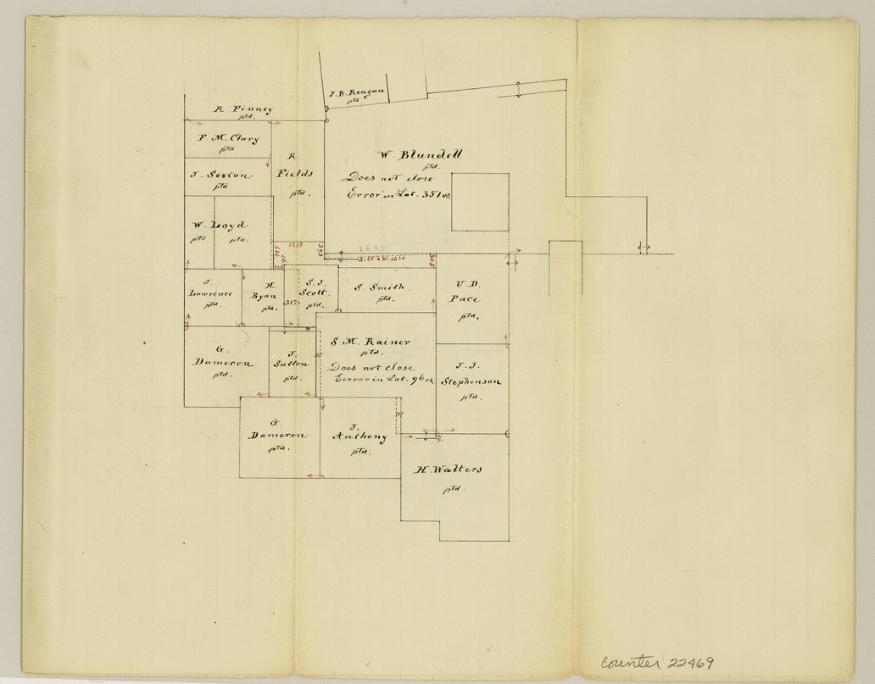
Fannin County Sketch File 16
[Sketch of surveys around the William Blundell survey]
-
Map/Doc
22469
-
Collection
General Map Collection
-
Object Dates
1873/6/20 (File Date)
1873/6/20 (Creation Date)
-
People and Organizations
W. von Rosenberg (Surveyor/Engineer)
Thielepape (Draftsman)
-
Counties
Fannin
-
Subjects
Surveying Sketch File
-
Height x Width
8.1 x 10.3 inches
20.6 x 26.2 cm
-
Medium
paper, manuscript
Part of: General Map Collection
La Salle County Sketch File 8

Print $20.00
- Digital $50.00
La Salle County Sketch File 8
Size 27.2 x 19.3 inches
Map/Doc 11979
Map of Refugio District

Print $20.00
- Digital $50.00
Map of Refugio District
1850
Size 22.6 x 25.1 inches
Map/Doc 1959
Harris County Working Sketch 80

Print $20.00
- Digital $50.00
Harris County Working Sketch 80
1968
Size 35.8 x 29.9 inches
Map/Doc 65972
Loving County Rolled Sketch 13

Print $20.00
- Digital $50.00
Loving County Rolled Sketch 13
2006
Size 43.6 x 45.0 inches
Map/Doc 83650
[Capitol Leagues in Oldham County]
![4506, [Capitol Leagues in Oldham County], General Map Collection](https://historictexasmaps.com/wmedia_w700/maps/4506-1.tif.jpg)
Print $20.00
- Digital $50.00
[Capitol Leagues in Oldham County]
1918
Size 37.9 x 30.4 inches
Map/Doc 4506
Blanco County Sketch File 52

Print $4.00
- Digital $50.00
Blanco County Sketch File 52
Size 11.3 x 8.9 inches
Map/Doc 76332
San Jacinto County Working Sketch 21

Print $20.00
- Digital $50.00
San Jacinto County Working Sketch 21
1939
Size 32.1 x 25.5 inches
Map/Doc 63734
Flight Mission No. CUG-1P, Frame 107, Kleberg County

Print $20.00
- Digital $50.00
Flight Mission No. CUG-1P, Frame 107, Kleberg County
1956
Size 18.5 x 22.3 inches
Map/Doc 86157
Panola County Rolled Sketch 2

Print $20.00
- Digital $50.00
Panola County Rolled Sketch 2
1944
Size 20.7 x 27.0 inches
Map/Doc 7197
Orange County Sketch File 32

Print $6.00
- Digital $50.00
Orange County Sketch File 32
1926
Size 14.3 x 8.7 inches
Map/Doc 33360
Jefferson County Boundary File 1

Print $10.00
- Digital $50.00
Jefferson County Boundary File 1
Size 9.8 x 6.7 inches
Map/Doc 55514

You may also like
Map of Fayette County

Print $20.00
- Digital $50.00
Map of Fayette County
1843
Size 21.9 x 26.7 inches
Map/Doc 3537
Garza County Sketch File 1

Print $4.00
- Digital $50.00
Garza County Sketch File 1
1879
Size 9.2 x 8.1 inches
Map/Doc 24044
Bandera County Working Sketch 19

Print $20.00
- Digital $50.00
Bandera County Working Sketch 19
1946
Size 43.3 x 35.8 inches
Map/Doc 67615
Harbor Pass and Bar at Brazos Santiago, Texas

Print $20.00
- Digital $50.00
Harbor Pass and Bar at Brazos Santiago, Texas
1871
Size 18.3 x 27.4 inches
Map/Doc 73036
Flight Mission No. CLL-3N, Frame 32, Willacy County

Print $20.00
- Digital $50.00
Flight Mission No. CLL-3N, Frame 32, Willacy County
1954
Size 18.4 x 22.1 inches
Map/Doc 87088
Austin County Rolled Sketch 7

Print $47.00
- Digital $50.00
Austin County Rolled Sketch 7
1974
Size 10.4 x 15.3 inches
Map/Doc 42340
Stonewall County Boundary File 3

Print $54.00
- Digital $50.00
Stonewall County Boundary File 3
Size 9.2 x 8.0 inches
Map/Doc 58961
Flight Mission No. DIX-6P, Frame 121, Aransas County

Print $20.00
- Digital $50.00
Flight Mission No. DIX-6P, Frame 121, Aransas County
1956
Size 18.9 x 22.6 inches
Map/Doc 83827
Crane County Working Sketch 3

Print $20.00
- Digital $50.00
Crane County Working Sketch 3
1924
Size 36.2 x 34.4 inches
Map/Doc 68280
Moore County Sketch File 9

Print $4.00
- Digital $50.00
Moore County Sketch File 9
1910
Size 9.0 x 6.9 inches
Map/Doc 31947
Hydrographic Survey H-1288B Corpus Christi Pass

Print $40.00
- Digital $50.00
Hydrographic Survey H-1288B Corpus Christi Pass
1875
Size 31.8 x 52.5 inches
Map/Doc 2692
Map of Matagorda Bay and County with the Adjacent Country

Print $20.00
- Digital $50.00
Map of Matagorda Bay and County with the Adjacent Country
1839
Size 33.4 x 42.6 inches
Map/Doc 2002