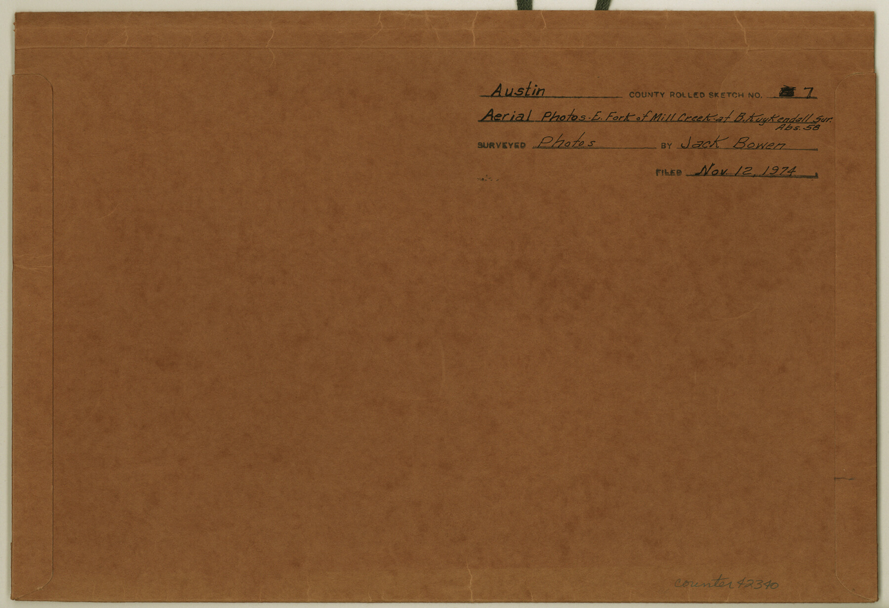
Austin County Rolled Sketch 7
Aerial photos and topographic map of east fork of Mill Creek at B. Kuykendall survey abstract 58
-
Map/Doc
42340
-
Collection
General Map Collection
-
Object Dates
1974 (Creation Date)
1974/11/12 (File Date)
-
Counties
Austin
-
Subjects
Aerial Photograph Surveying Rolled Sketch
-
Height x Width
10.4 x 15.3 inches
26.4 x 38.9 cm
-
Medium
photograph
Part of: General Map Collection
Presidio County Boundary File 1a

Print $80.00
- Digital $50.00
Presidio County Boundary File 1a
Size 50.2 x 14.9 inches
Map/Doc 58052
Concho County Rolled Sketch 8

Print $20.00
- Digital $50.00
Concho County Rolled Sketch 8
1956
Size 24.0 x 15.9 inches
Map/Doc 5546
Reeves County Working Sketch 16

Print $40.00
- Digital $50.00
Reeves County Working Sketch 16
1961
Size 30.8 x 48.8 inches
Map/Doc 63459
Hemphill County

Print $20.00
- Digital $50.00
Hemphill County
1888
Size 23.9 x 18.3 inches
Map/Doc 3653
Jim Wells County Working Sketch 12

Print $20.00
- Digital $50.00
Jim Wells County Working Sketch 12
1962
Size 19.2 x 15.6 inches
Map/Doc 66610
Flight Mission No. CRC-3R, Frame 26, Chambers County

Print $20.00
- Digital $50.00
Flight Mission No. CRC-3R, Frame 26, Chambers County
1956
Size 18.7 x 22.3 inches
Map/Doc 84800
Harris County Rolled Sketch 28

Print $20.00
- Digital $50.00
Harris County Rolled Sketch 28
Size 29.8 x 47.3 inches
Map/Doc 6095
[Surveys in Austin's Colony along the Brazos and Bernard Rivers]
![43, [Surveys in Austin's Colony along the Brazos and Bernard Rivers], General Map Collection](https://historictexasmaps.com/wmedia_w700/maps/43.tif.jpg)
Print $20.00
- Digital $50.00
[Surveys in Austin's Colony along the Brazos and Bernard Rivers]
1835
Size 23.8 x 18.6 inches
Map/Doc 43
Nueces County Rolled Sketch 128

Print $20.00
- Digital $50.00
Nueces County Rolled Sketch 128
1998
Size 18.3 x 24.5 inches
Map/Doc 7163
Kendall County Working Sketch 24

Print $20.00
- Digital $50.00
Kendall County Working Sketch 24
1977
Size 27.6 x 26.1 inches
Map/Doc 66696
Wood County Rolled Sketch 8

Print $20.00
- Digital $50.00
Wood County Rolled Sketch 8
1965
Size 22.6 x 34.8 inches
Map/Doc 8286
[Nueces Bay, Mustang Island and Padre Island]
![73465, [Nueces Bay, Mustang Island and Padre Island], General Map Collection](https://historictexasmaps.com/wmedia_w700/maps/73465.tif.jpg)
Print $4.00
- Digital $50.00
[Nueces Bay, Mustang Island and Padre Island]
Size 18.1 x 24.7 inches
Map/Doc 73465
You may also like
Flight Mission No. DQN-2K, Frame 7, Calhoun County

Print $20.00
- Digital $50.00
Flight Mission No. DQN-2K, Frame 7, Calhoun County
1953
Size 18.4 x 22.1 inches
Map/Doc 84224
Van Zandt County Working Sketch 11

Print $20.00
- Digital $50.00
Van Zandt County Working Sketch 11
1982
Size 15.2 x 9.3 inches
Map/Doc 72261
Map of part of Waller County

Print $20.00
- Digital $50.00
Map of part of Waller County
Size 16.3 x 13.5 inches
Map/Doc 685

Angelina County Working Sketch 34

Print $20.00
- Digital $50.00
Angelina County Working Sketch 34
1956
Size 30.2 x 22.9 inches
Map/Doc 67117
Hartley County Boundary File 2a

Print $48.00
- Digital $50.00
Hartley County Boundary File 2a
Size 14.2 x 8.8 inches
Map/Doc 54461
Karnes County Sketch File 10

Print $10.00
- Digital $50.00
Karnes County Sketch File 10
1885
Size 12.8 x 8.5 inches
Map/Doc 28597
Blanco County Working Sketch 18

Print $20.00
- Digital $50.00
Blanco County Working Sketch 18
1912
Size 19.0 x 15.9 inches
Map/Doc 67378
Webb County Sketch File 68

Print $26.00
- Digital $50.00
Webb County Sketch File 68
1952
Size 19.9 x 25.0 inches
Map/Doc 12656
Dimmit County Working Sketch 16

Print $20.00
- Digital $50.00
Dimmit County Working Sketch 16
1943
Size 25.6 x 24.8 inches
Map/Doc 68677
![94160, Austin and Vicinity [Recto], General Map Collection](https://historictexasmaps.com/wmedia_w700/maps/94160.tif.jpg)
Harris County Historic Topographic 28

Print $20.00
- Digital $50.00
Harris County Historic Topographic 28
1915
Size 29.5 x 22.8 inches
Map/Doc 65839