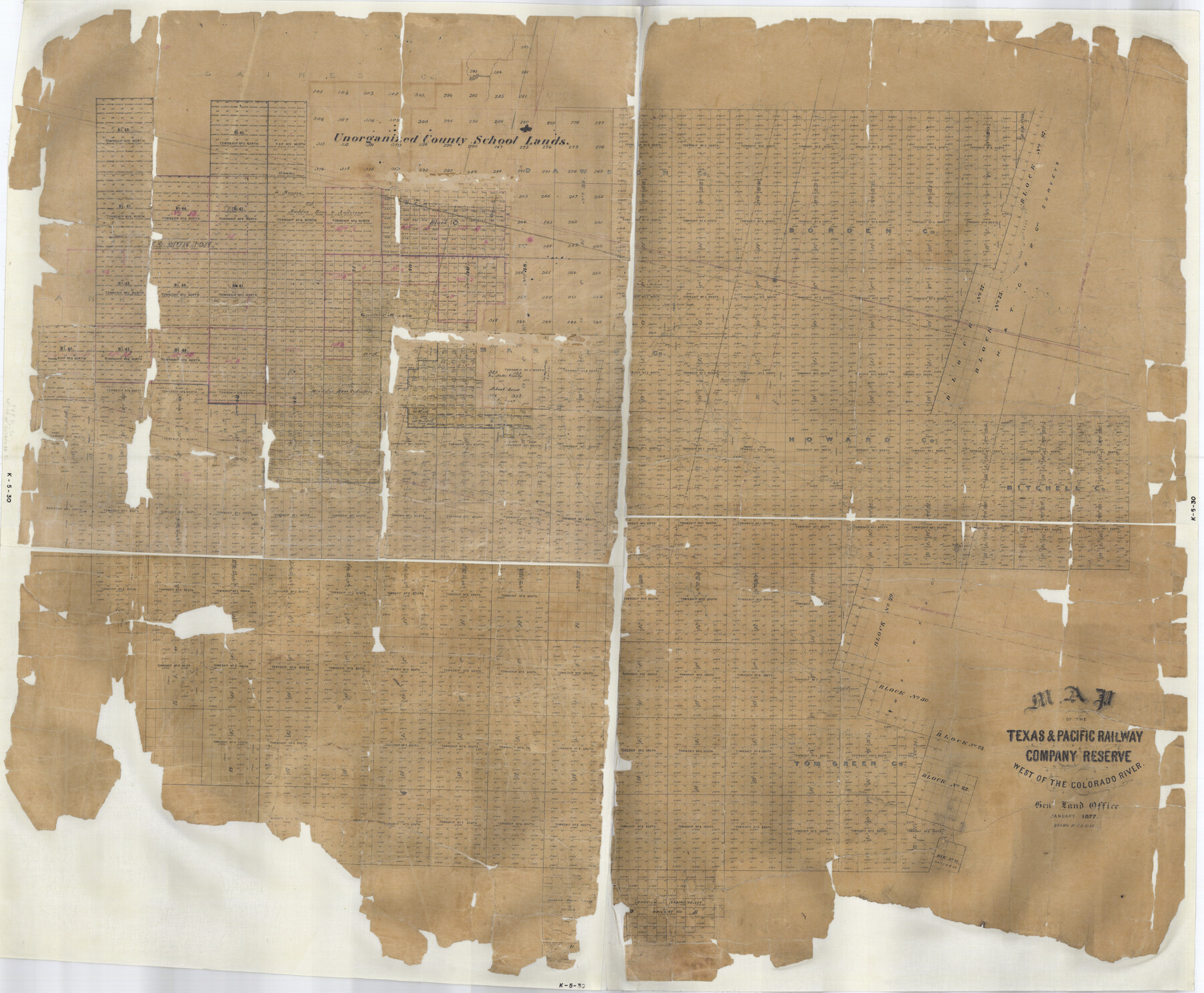
Map of the Texas & Pacific Railway Company Reserve west of the Colorado River
K-5-30
-
Map/Doc
2233
-
Collection
General Map Collection
-
Object Dates
1877 (Creation Date)
-
People and Organizations
General Land Office (Publisher)
F.G. Blau (Draftsman)
-
Counties
Borden Mitchell Howard Tom Green
-
Height x Width
48.9 x 59.2 inches
124.2 x 150.4 cm
Part of: General Map Collection
Reagan County

Print $40.00
- Digital $50.00
Reagan County
1940
Size 50.5 x 37.7 inches
Map/Doc 78430
Flight Mission No. BRA-6M, Frame 87, Jefferson County

Print $20.00
- Digital $50.00
Flight Mission No. BRA-6M, Frame 87, Jefferson County
1953
Size 18.5 x 22.3 inches
Map/Doc 85430
East Part of Liberty Co.

Print $20.00
- Digital $50.00
East Part of Liberty Co.
1977
Size 46.1 x 35.9 inches
Map/Doc 73219
Ector County Rolled Sketch 8

Print $40.00
- Digital $50.00
Ector County Rolled Sketch 8
1938
Size 55.8 x 45.1 inches
Map/Doc 8836
Harris County Historic Topographic 2

Print $20.00
- Digital $50.00
Harris County Historic Topographic 2
1916
Size 29.5 x 22.7 inches
Map/Doc 65812
San Jacinto County Rolled Sketch 12

Print $20.00
- Digital $50.00
San Jacinto County Rolled Sketch 12
1948
Size 24.2 x 32.5 inches
Map/Doc 7561
Presidio County Rolled Sketch 116

Print $20.00
- Digital $50.00
Presidio County Rolled Sketch 116
1981
Size 30.9 x 25.0 inches
Map/Doc 9795
Flight Mission No. CGI-3N, Frame 100, Cameron County

Print $20.00
- Digital $50.00
Flight Mission No. CGI-3N, Frame 100, Cameron County
1954
Size 18.6 x 22.3 inches
Map/Doc 84580
Flight Mission No. DQO-8K, Frame 83, Galveston County

Print $20.00
- Digital $50.00
Flight Mission No. DQO-8K, Frame 83, Galveston County
1952
Size 18.7 x 22.3 inches
Map/Doc 85185
Brown County Sketch File 28

Print $4.00
- Digital $50.00
Brown County Sketch File 28
1875
Size 11.6 x 8.3 inches
Map/Doc 16626
Flight Mission No. DIX-7P, Frame 19, Aransas County

Print $20.00
- Digital $50.00
Flight Mission No. DIX-7P, Frame 19, Aransas County
1956
Size 19.0 x 22.6 inches
Map/Doc 83871
Brazoria County Sketch File 38

Print $40.00
- Digital $50.00
Brazoria County Sketch File 38
1917
Size 17.1 x 14.5 inches
Map/Doc 15043
You may also like
Loving County Rolled Sketch 7

Print $20.00
- Digital $50.00
Loving County Rolled Sketch 7
Size 24.1 x 28.4 inches
Map/Doc 7479
Sketch showing progress of topographical work Laguna Madre and vicinity from Rainey Is. to Baffins Bay, Coast of Texas Sect. IX [and accompanying letter]
![72957, Sketch showing progress of topographical work Laguna Madre and vicinity from Rainey Is. to Baffins Bay, Coast of Texas Sect. IX [and accompanying letter], General Map Collection](https://historictexasmaps.com/wmedia_w700/maps/72957.tif.jpg)
Print $20.00
- Digital $50.00
Sketch showing progress of topographical work Laguna Madre and vicinity from Rainey Is. to Baffins Bay, Coast of Texas Sect. IX [and accompanying letter]
1880
Size 39.2 x 18.6 inches
Map/Doc 72957
Sec. 22, Block 103

Print $2.00
- Digital $50.00
Sec. 22, Block 103
Size 8.4 x 9.5 inches
Map/Doc 90431

![91955, [PSL Block B19], Twichell Survey Records](https://historictexasmaps.com/wmedia_w700/maps/91955-1.tif.jpg)
Grayson County Boundary File 4

Print $16.00
- Digital $50.00
Grayson County Boundary File 4
Size 12.7 x 8.0 inches
Map/Doc 53948
P.J. Lawless Addition of part of Outlots 29 and 30, Division D, Austin, Texas

Print $20.00
- Digital $50.00
P.J. Lawless Addition of part of Outlots 29 and 30, Division D, Austin, Texas
1916
Size 13.7 x 17.1 inches
Map/Doc 620

General Highway Map, Rusk County, Texas

Print $20.00
General Highway Map, Rusk County, Texas
1961
Size 24.9 x 18.2 inches
Map/Doc 79643
Jasper County

Print $40.00
- Digital $50.00
Jasper County
1946
Size 48.6 x 42.9 inches
Map/Doc 73192
Stonewall County Working Sketch 11

Print $20.00
- Digital $50.00
Stonewall County Working Sketch 11
1950
Size 23.8 x 33.7 inches
Map/Doc 62318
Goliad County Sketch File 27

Print $20.00
- Digital $50.00
Goliad County Sketch File 27
Size 19.0 x 24.4 inches
Map/Doc 11568