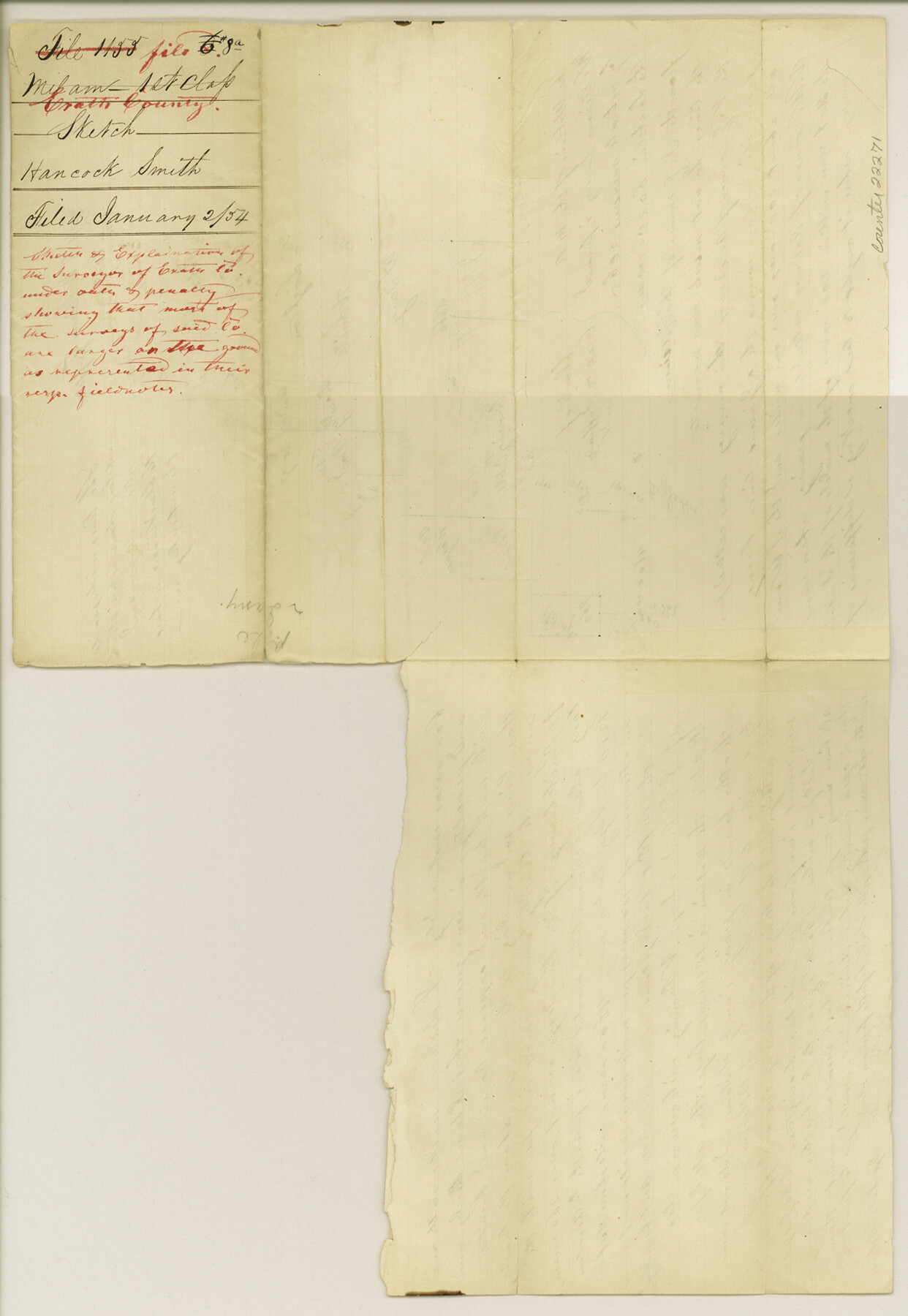
Erath County Sketch File 8a
[Sketch of surveys around the Hancock Smith survey]
-
Map/Doc
22271
-
Collection
General Map Collection
-
Object Dates
1854/1/2 (File Date)
1853/12/28 (Creation Date)
-
People and Organizations
J.B. Erath (Surveyor/Engineer)
-
Counties
Erath
-
Subjects
Surveying Sketch File
-
Height x Width
15.9 x 11.0 inches
40.4 x 27.9 cm
-
Medium
paper, manuscript
Part of: General Map Collection
Lubbock County Working Sketch 6

Print $20.00
- Digital $50.00
Lubbock County Working Sketch 6
1959
Size 25.1 x 22.4 inches
Map/Doc 70666
Morris County Sketch File 5

Print $20.00
- Digital $50.00
Morris County Sketch File 5
Size 21.4 x 11.6 inches
Map/Doc 42132

Township No. 2 South Range No. 21 West of the Indian Meridian

Print $20.00
- Digital $50.00
Township No. 2 South Range No. 21 West of the Indian Meridian
1875
Size 19.3 x 24.4 inches
Map/Doc 75177
Flight Mission No. DIX-10P, Frame 171, Aransas County

Print $20.00
- Digital $50.00
Flight Mission No. DIX-10P, Frame 171, Aransas County
1956
Size 18.8 x 22.3 inches
Map/Doc 83961
Van Zandt County Sketch File 34

Print $4.00
- Digital $50.00
Van Zandt County Sketch File 34
1861
Size 7.8 x 15.0 inches
Map/Doc 39472
Medina County Working Sketch 3

Print $40.00
- Digital $50.00
Medina County Working Sketch 3
1945
Size 52.6 x 37.1 inches
Map/Doc 70918
Galveston Bay and Approaches

Print $20.00
- Digital $50.00
Galveston Bay and Approaches
1938
Size 45.4 x 34.6 inches
Map/Doc 69875
Engineer's Office, Department of the Gulf Map No. 59, Texas prepared by order of Maj. Gen. N. P. Banks under direction of Capt. P. C. Hains, U. S. Engr. & Chief Engr., Dept. of the Gulf

Print $20.00
- Digital $50.00
Engineer's Office, Department of the Gulf Map No. 59, Texas prepared by order of Maj. Gen. N. P. Banks under direction of Capt. P. C. Hains, U. S. Engr. & Chief Engr., Dept. of the Gulf
1865
Size 18.2 x 27.5 inches
Map/Doc 72718
Ector County Working Sketch 18

Print $20.00
- Digital $50.00
Ector County Working Sketch 18
1957
Size 42.0 x 39.1 inches
Map/Doc 68861
Culberson County Rolled Sketch 56

Print $37.00
- Digital $50.00
Culberson County Rolled Sketch 56
1972
Size 11.0 x 15.6 inches
Map/Doc 44267
McMullen County Rolled Sketch 5

Print $20.00
- Digital $50.00
McMullen County Rolled Sketch 5
Size 46.4 x 26.8 inches
Map/Doc 6723
You may also like
Partie du Mexique

Print $20.00
- Digital $50.00
Partie du Mexique
1827
Size 20.4 x 27.8 inches
Map/Doc 94072
Map of Nacogdoches County

Print $20.00
- Digital $50.00
Map of Nacogdoches County
1846
Size 43.8 x 39.2 inches
Map/Doc 87357
Hemphill County Working Sketch 30

Print $40.00
- Digital $50.00
Hemphill County Working Sketch 30
1974
Size 52.5 x 26.7 inches
Map/Doc 66125
Panola County Sketch File 21

Print $10.00
- Digital $50.00
Panola County Sketch File 21
Size 11.2 x 8.7 inches
Map/Doc 33487
Sketch Showing Construction of School Leagues and Adjacent Lands Situated in Martin and Dawson Counties

Print $40.00
- Digital $50.00
Sketch Showing Construction of School Leagues and Adjacent Lands Situated in Martin and Dawson Counties
1914
Size 39.3 x 97.6 inches
Map/Doc 93201
Callahan County Sketch File 9

Print $40.00
- Digital $50.00
Callahan County Sketch File 9
1880
Size 16.8 x 14.3 inches
Map/Doc 35871
Atascosa County Sketch File 27b

Print $10.00
- Digital $50.00
Atascosa County Sketch File 27b
1875
Size 12.6 x 8.2 inches
Map/Doc 13801
Packery Channel

Print $3.00
- Digital $50.00
Packery Channel
1974
Size 10.2 x 10.3 inches
Map/Doc 3000
Culberson County Working Sketch 26

Print $20.00
- Digital $50.00
Culberson County Working Sketch 26
1951
Size 42.7 x 28.3 inches
Map/Doc 68479
Block 32, Township 4 North

Print $20.00
- Digital $50.00
Block 32, Township 4 North
Size 17.5 x 25.3 inches
Map/Doc 92507
Chart of the Harbour of San [Luis]
![72762, Chart of the Harbour of San [Luis], General Map Collection](https://historictexasmaps.com/wmedia_w700/maps/72762.tif.jpg)
Print $20.00
- Digital $50.00
Chart of the Harbour of San [Luis]
1846
Size 27.2 x 18.2 inches
Map/Doc 72762
![92465, [Muleshoe], Twichell Survey Records](https://historictexasmaps.com/wmedia_w700/maps/92465-1.tif.jpg)