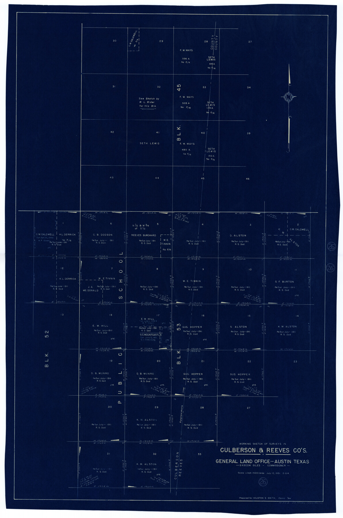
Culberson County Working Sketch 26
-
Map/Doc
68479
-
Collection
General Map Collection
-
Object Dates
7/10/1951 (Creation Date)
-
People and Organizations
Otto G. Kurio (Draftsman)
-
Counties
Culberson Reeves
-
Subjects
Surveying Working Sketch
-
Height x Width
42.7 x 28.3 inches
108.5 x 71.9 cm
-
Scale
1" = 500 varas
Part of: General Map Collection
Hartley County Rolled Sketch 7

Print $20.00
- Digital $50.00
Hartley County Rolled Sketch 7
1952
Size 24.2 x 27.4 inches
Map/Doc 6161
Presidio County Rolled Sketch 42

Print $20.00
- Digital $50.00
Presidio County Rolled Sketch 42
1907
Size 31.7 x 19.0 inches
Map/Doc 7339
Crane County Working Sketch 5

Print $40.00
- Digital $50.00
Crane County Working Sketch 5
1928
Size 34.5 x 49.0 inches
Map/Doc 68282
Midland County Working Sketch 31

Print $20.00
- Digital $50.00
Midland County Working Sketch 31
1971
Size 44.8 x 30.9 inches
Map/Doc 71012

Hale County Boundary File 1

Print $44.00
- Digital $50.00
Hale County Boundary File 1
Size 10.0 x 30.9 inches
Map/Doc 54031
Comanche County Working Sketch 4

Print $40.00
- Digital $50.00
Comanche County Working Sketch 4
1919
Size 58.7 x 35.2 inches
Map/Doc 68138
Sketch of a road from Fort Croghan to Phantom Hill, Texas

Print $20.00
- Digital $50.00
Sketch of a road from Fort Croghan to Phantom Hill, Texas
1852
Size 34.7 x 12.2 inches
Map/Doc 2007
Maps & Lists Showing Prison Lands (Oil & Gas) Leased as of June 1955

Digital $50.00
Maps & Lists Showing Prison Lands (Oil & Gas) Leased as of June 1955
Size 11.4 x 7.3 inches
Map/Doc 62868
Liberty County Rolled Sketch D

Print $42.00
- Digital $50.00
Liberty County Rolled Sketch D
1942
Size 28.4 x 30.1 inches
Map/Doc 9572
Montgomery County Working Sketch 34

Print $20.00
- Digital $50.00
Montgomery County Working Sketch 34
1952
Size 43.0 x 35.8 inches
Map/Doc 71141
Reeves County Sketch File 28

Print $12.00
- Digital $50.00
Reeves County Sketch File 28
2003
Size 14.3 x 8.8 inches
Map/Doc 78496
You may also like
Cameron County NRC Article 33.136 Sketch 2

Print $20.00
- Digital $50.00
Cameron County NRC Article 33.136 Sketch 2
2002
Size 24.4 x 35.9 inches
Map/Doc 77040
Val Verde County Working Sketch 96

Print $20.00
- Digital $50.00
Val Verde County Working Sketch 96
1979
Size 38.9 x 36.9 inches
Map/Doc 72231
Live Oak County Rolled Sketch 5

Print $20.00
- Digital $50.00
Live Oak County Rolled Sketch 5
1947
Size 33.6 x 32.2 inches
Map/Doc 9454
[Map of the Fort Worth & Denver City Railway, Hartley County, Texas]
![64389, [Map of the Fort Worth & Denver City Railway, Hartley County, Texas], General Map Collection](https://historictexasmaps.com/wmedia_w700/maps/64389.tif.jpg)
Print $40.00
- Digital $50.00
[Map of the Fort Worth & Denver City Railway, Hartley County, Texas]
1887
Size 22.0 x 120.7 inches
Map/Doc 64389
Map of Clay County

Print $20.00
- Digital $50.00
Map of Clay County
1874
Size 30.3 x 20.1 inches
Map/Doc 3403
Baylor County, Texas

Print $20.00
- Digital $50.00
Baylor County, Texas
1879
Size 22.2 x 17.4 inches
Map/Doc 586
Schleicher County Sketch File 21

Print $40.00
- Digital $50.00
Schleicher County Sketch File 21
1936
Size 14.5 x 15.2 inches
Map/Doc 36510
Harrison County Working Sketch 3

Print $20.00
- Digital $50.00
Harrison County Working Sketch 3
1942
Size 43.8 x 19.0 inches
Map/Doc 66023

[Part of North line of County, North of Block G]
![90803, [Part of North line of County, North of Block G], Twichell Survey Records](https://historictexasmaps.com/wmedia_w700/maps/90803-1.tif.jpg)
Print $2.00
- Digital $50.00
[Part of North line of County, North of Block G]
Size 11.8 x 4.2 inches
Map/Doc 90803
San Patricio County Sketch File 48

Print $88.00
- Digital $50.00
San Patricio County Sketch File 48
Size 9.0 x 9.0 inches
Map/Doc 36285
Gaines County Working Sketch 26

Print $20.00
- Digital $50.00
Gaines County Working Sketch 26
1983
Size 34.1 x 39.7 inches
Map/Doc 69326