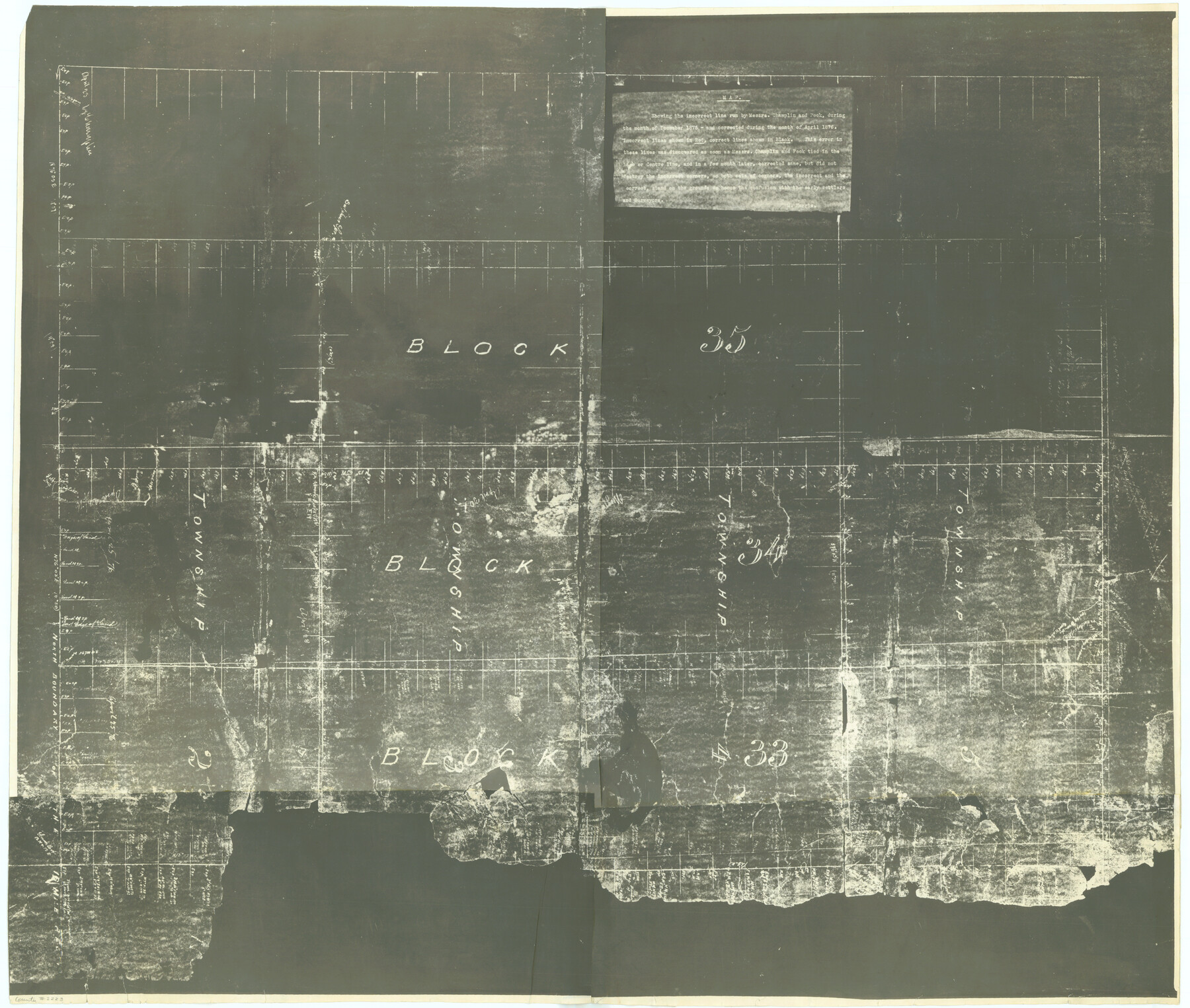
[T&P Land Reserve, Blocks 33, 34 & 35, Tsps. 2, 3, 4, & 5, Dawson & Martin Counties, Texas
K-7-21
-
Map/Doc
2223
-
Collection
General Map Collection
-
Object Dates
1875 (Creation Date)
-
People and Organizations
Texas and Pacific Railroad Company (Author)
-
Counties
Dawson Martin
-
Height x Width
29.6 x 34.9 inches
75.2 x 88.6 cm
-
Comments
Map showing incorrect line run by Champlin and Peck December 1875 and corrected in April 1876. Two sets of corners now on ground.
Part of: General Map Collection
Galveston County NRC Article 33.136 Location Key Sheet

Print $20.00
- Digital $50.00
Galveston County NRC Article 33.136 Location Key Sheet
1994
Size 27.0 x 22.0 inches
Map/Doc 77015
Childress County Sketch File 4

Print $24.00
- Digital $50.00
Childress County Sketch File 4
1887
Size 8.1 x 12.0 inches
Map/Doc 18250
Travis County Working Sketch 50

Print $20.00
- Digital $50.00
Travis County Working Sketch 50
1984
Size 37.8 x 29.0 inches
Map/Doc 69434
Montgomery County Rolled Sketch 44

Print $20.00
- Digital $50.00
Montgomery County Rolled Sketch 44
2004
Size 24.5 x 18.1 inches
Map/Doc 82451

Stonewall County Rolled Sketch 31

Print $20.00
- Digital $50.00
Stonewall County Rolled Sketch 31
1982
Size 25.6 x 42.9 inches
Map/Doc 7875
Flight Mission No. BQR-3K, Frame 161, Brazoria County

Print $20.00
- Digital $50.00
Flight Mission No. BQR-3K, Frame 161, Brazoria County
1952
Size 18.7 x 22.4 inches
Map/Doc 83988
Orange County Working Sketch 44

Print $20.00
- Digital $50.00
Orange County Working Sketch 44
1980
Size 16.5 x 22.0 inches
Map/Doc 71376
Upton County Rolled Sketch 3

Print $20.00
- Digital $50.00
Upton County Rolled Sketch 3
Size 30.3 x 34.1 inches
Map/Doc 8066
Blanco County Working Sketch 26

Print $40.00
- Digital $50.00
Blanco County Working Sketch 26
1969
Size 52.7 x 38.7 inches
Map/Doc 67386
Texas, Corpus Christi Bay, Nueces Bay

Print $40.00
- Digital $50.00
Texas, Corpus Christi Bay, Nueces Bay
1934
Size 34.0 x 48.9 inches
Map/Doc 73458
Starr County Rolled Sketch 46B

Print $20.00
- Digital $50.00
Starr County Rolled Sketch 46B
1986
Size 17.9 x 34.5 inches
Map/Doc 7838
You may also like
Childress County Boundary File 3a

Print $80.00
- Digital $50.00
Childress County Boundary File 3a
Size 30.7 x 70.1 inches
Map/Doc 51354
Orange County Sketch File 40

Print $20.00
- Digital $50.00
Orange County Sketch File 40
1895
Size 18.2 x 22.7 inches
Map/Doc 12128
Flight Mission No. BRA-16M, Frame 119, Jefferson County

Print $20.00
- Digital $50.00
Flight Mission No. BRA-16M, Frame 119, Jefferson County
1953
Size 18.6 x 22.5 inches
Map/Doc 85729
Liberty County Working Sketch 49b

Print $20.00
- Digital $50.00
Liberty County Working Sketch 49b
1955
Size 28.0 x 31.0 inches
Map/Doc 70509
Hudspeth County Rolled Sketch 58

Print $20.00
- Digital $50.00
Hudspeth County Rolled Sketch 58
Size 31.4 x 32.6 inches
Map/Doc 6258
Brooks County Working Sketch 3

Print $20.00
- Digital $50.00
Brooks County Working Sketch 3
Size 16.2 x 21.3 inches
Map/Doc 67787
Working Sketch in Lynn County

Print $20.00
- Digital $50.00
Working Sketch in Lynn County
1921
Size 15.1 x 18.9 inches
Map/Doc 91343
Liberty County Sketch File 67

Print $28.00
- Digital $50.00
Liberty County Sketch File 67
1996
Size 11.3 x 8.8 inches
Map/Doc 30135
McCulloch County Sketch File 1

Print $4.00
- Digital $50.00
McCulloch County Sketch File 1
1854
Size 8.7 x 6.8 inches
Map/Doc 31165

Smith County Rolled Sketch 6A3

Print $40.00
- Digital $50.00
Smith County Rolled Sketch 6A3
1990
Size 48.6 x 36.8 inches
Map/Doc 10698
Val Verde County Working Sketch 44

Print $40.00
- Digital $50.00
Val Verde County Working Sketch 44
1945
Size 49.7 x 39.5 inches
Map/Doc 72179