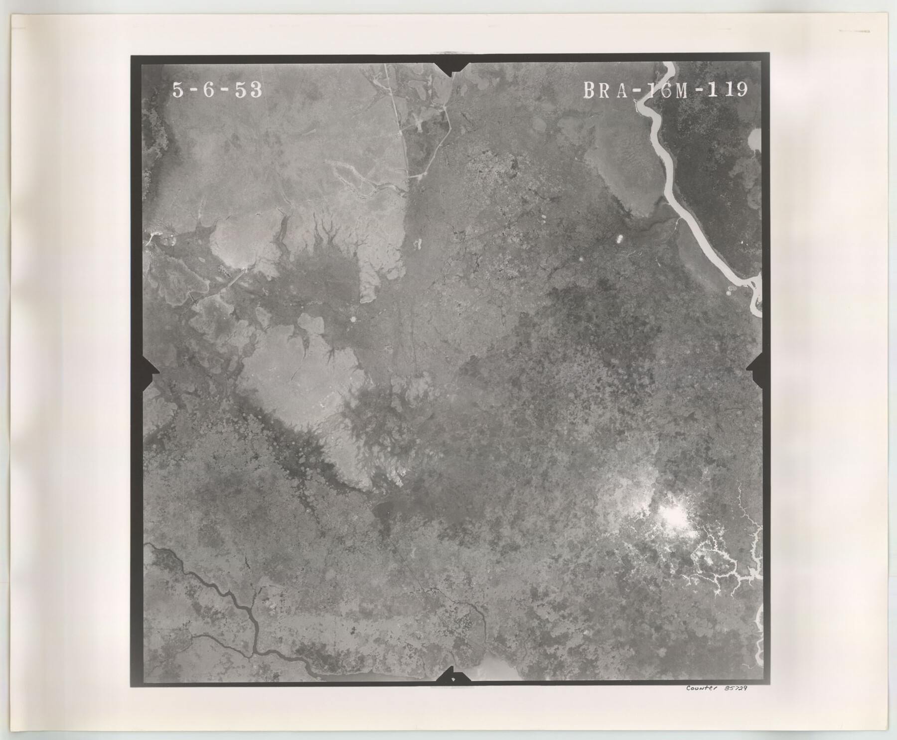
Flight Mission No. BRA-16M, Frame 119, Jefferson County
BRA-16M-119
-
Map/Doc
85729
-
Collection
General Map Collection
-
Object Dates
1953/5/6 (Creation Date)
-
People and Organizations
U. S. Department of Agriculture (Publisher)
-
Counties
Jefferson
-
Subjects
Aerial Photograph
-
Height x Width
18.6 x 22.5 inches
47.2 x 57.2 cm
-
Comments
Flown by Jack Ammann Photogrammetric Engineers of San Antonio, Texas.
Part of: General Map Collection
Floyd County Sketch File 28

Print $20.00
- Digital $50.00
Floyd County Sketch File 28
Size 17.4 x 18.6 inches
Map/Doc 11487
Throckmorton County Sketch File 13

Print $20.00
- Digital $50.00
Throckmorton County Sketch File 13
1994
Size 11.3 x 9.1 inches
Map/Doc 38120
Harris County Sketch File 26

Print $8.00
- Digital $50.00
Harris County Sketch File 26
Size 9.2 x 8.5 inches
Map/Doc 25393
Flight Mission No. CRC-4R, Frame 63, Chambers County

Print $20.00
- Digital $50.00
Flight Mission No. CRC-4R, Frame 63, Chambers County
1956
Size 18.7 x 22.4 inches
Map/Doc 84867
Wichita County Rolled Sketch 9A

Print $20.00
- Digital $50.00
Wichita County Rolled Sketch 9A
1917
Size 32.4 x 27.9 inches
Map/Doc 8247
Leon County Working Sketch 2

Print $20.00
- Digital $50.00
Leon County Working Sketch 2
Size 17.3 x 17.0 inches
Map/Doc 70401
Gonzales County

Print $20.00
- Digital $50.00
Gonzales County
1869
Size 22.2 x 22.1 inches
Map/Doc 3592
Ward County Working Sketch 34

Print $20.00
- Digital $50.00
Ward County Working Sketch 34
1968
Size 26.7 x 30.5 inches
Map/Doc 72340
Map of Jasper County

Print $20.00
- Digital $50.00
Map of Jasper County
1839
Size 41.6 x 28.5 inches
Map/Doc 3711
Shelby County Rolled Sketch 16

Print $20.00
- Digital $50.00
Shelby County Rolled Sketch 16
1935
Size 33.0 x 43.8 inches
Map/Doc 9925
Flight Mission No. CRE-2R, Frame 155, Jackson County

Print $20.00
- Digital $50.00
Flight Mission No. CRE-2R, Frame 155, Jackson County
1956
Size 16.1 x 16.1 inches
Map/Doc 85366
Atascosa County Rolled Sketch 25

Print $20.00
- Digital $50.00
Atascosa County Rolled Sketch 25
Size 25.2 x 20.5 inches
Map/Doc 93551
You may also like
The Republic County of Milam. Proposed, Late Fall 1837-December 31, 1838

Print $20.00
The Republic County of Milam. Proposed, Late Fall 1837-December 31, 1838
2020
Size 17.4 x 21.6 inches
Map/Doc 96226
Flight Mission No. DAH-9M, Frame 155, Orange County

Print $20.00
- Digital $50.00
Flight Mission No. DAH-9M, Frame 155, Orange County
1953
Size 18.6 x 22.6 inches
Map/Doc 86854
Shelby County Working Sketch 30

Print $20.00
- Digital $50.00
Shelby County Working Sketch 30
2000
Size 35.9 x 44.7 inches
Map/Doc 63885
General Highway Map, Shackelford County, Texas

Print $20.00
General Highway Map, Shackelford County, Texas
1961
Size 18.1 x 24.8 inches
Map/Doc 79651
Wharton County Sketch File 26

Print $4.00
- Digital $50.00
Wharton County Sketch File 26
1895
Size 11.0 x 8.8 inches
Map/Doc 39990
Map of Denton County

Print $20.00
- Digital $50.00
Map of Denton County
1897
Size 45.0 x 41.2 inches
Map/Doc 66802
Henderson County Sketch File 21

Print $20.00
- Digital $50.00
Henderson County Sketch File 21
1941
Size 27.8 x 17.9 inches
Map/Doc 11758
Robertson County Working Sketch 18

Print $20.00
- Digital $50.00
Robertson County Working Sketch 18
1995
Size 29.9 x 34.1 inches
Map/Doc 63591
Reagan County Working Sketch 4

Print $20.00
- Digital $50.00
Reagan County Working Sketch 4
1923
Size 16.8 x 26.3 inches
Map/Doc 71844
Kent County Boundary File 2

Print $4.00
- Digital $50.00
Kent County Boundary File 2
Size 10.1 x 8.2 inches
Map/Doc 55822
[Blocks M23, XO2, Z, and 47]
![91242, [Blocks M23, XO2, Z, and 47], Twichell Survey Records](https://historictexasmaps.com/wmedia_w700/maps/91242-1.tif.jpg)
Print $20.00
- Digital $50.00
[Blocks M23, XO2, Z, and 47]
Size 19.0 x 19.5 inches
Map/Doc 91242
Presidio County Sketch File B

Print $20.00
- Digital $50.00
Presidio County Sketch File B
Size 25.2 x 21.3 inches
Map/Doc 11701