Concho County Sketch File 8
Plat of T. T. RR. Survey nos. 1, 2, 3, 4, 5, 6, 7 and 8
-
Map/Doc
19131
-
Collection
General Map Collection
-
Object Dates
1886/1/4 (Creation Date)
1886/4/9 (File Date)
-
People and Organizations
J. W. Ratchford (Surveyor/Engineer)
-
Counties
Concho
-
Subjects
Surveying Sketch File
-
Height x Width
16.2 x 12.2 inches
41.1 x 31.0 cm
-
Medium
paper, manuscript
-
Scale
1:2000
-
Features
Concho River
Part of: General Map Collection
Presidio County Rolled Sketch 131A


Print $3.00
- Digital $50.00
Presidio County Rolled Sketch 131A
Size 14.5 x 9.1 inches
Map/Doc 10709
Aransas County Boundary File 2


Print $3.00
- Digital $50.00
Aransas County Boundary File 2
Size 12.4 x 10.8 inches
Map/Doc 49781
Darrington Plantation of the Texas Prison System, Brazoria County


Print $20.00
- Digital $50.00
Darrington Plantation of the Texas Prison System, Brazoria County
Size 16.9 x 37.4 inches
Map/Doc 62986
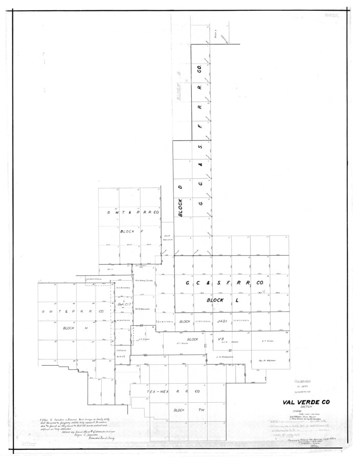
Val Verde County Rolled Sketch ECS

Print $20.00
- Digital $50.00
Val Verde County Rolled Sketch ECS
1935
Size 45.6 x 35.6 inches
Map/Doc 10079
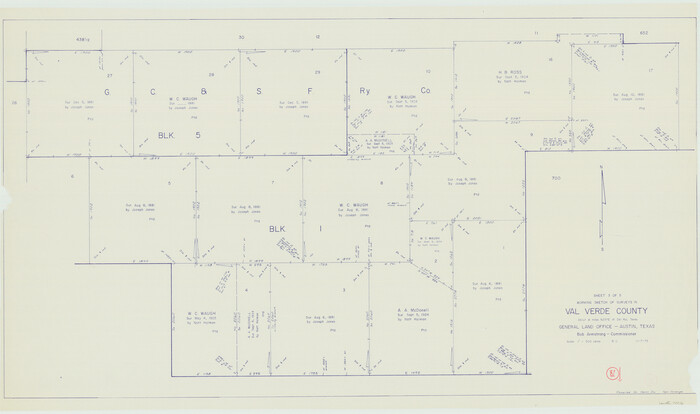
Val Verde County Working Sketch 81

Print $20.00
- Digital $50.00
Val Verde County Working Sketch 81
1973
Size 24.6 x 41.7 inches
Map/Doc 72216
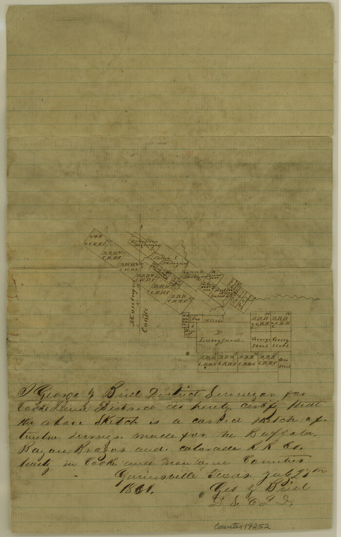
Cooke County Sketch File 16-17-18

Print $16.00
- Digital $50.00
Cooke County Sketch File 16-17-18
1860
Size 12.7 x 8.1 inches
Map/Doc 19252
Flight Mission No. CUI-1H, Frame 95, Milam County
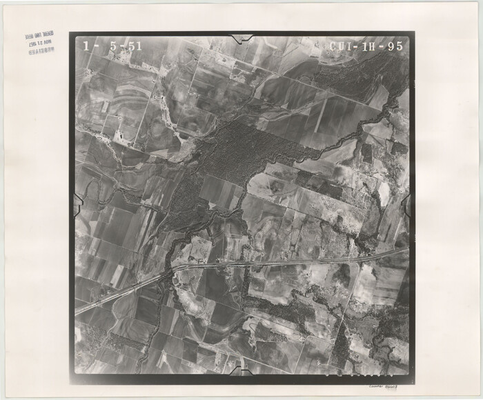

Print $20.00
- Digital $50.00
Flight Mission No. CUI-1H, Frame 95, Milam County
1951
Size 18.4 x 22.2 inches
Map/Doc 86603
[Surveys in Williamson County]
![78374, [Surveys in Williamson County], General Map Collection](https://historictexasmaps.com/wmedia_w700/maps/78374.tif.jpg)
![78374, [Surveys in Williamson County], General Map Collection](https://historictexasmaps.com/wmedia_w700/maps/78374.tif.jpg)
Print $2.00
- Digital $50.00
[Surveys in Williamson County]
1846
Size 9.2 x 11.8 inches
Map/Doc 78374
Orange County Working Sketch 46


Print $3.00
- Digital $50.00
Orange County Working Sketch 46
1982
Size 10.8 x 9.9 inches
Map/Doc 71378
Flight Mission No. DQN-7K, Frame 88, Calhoun County
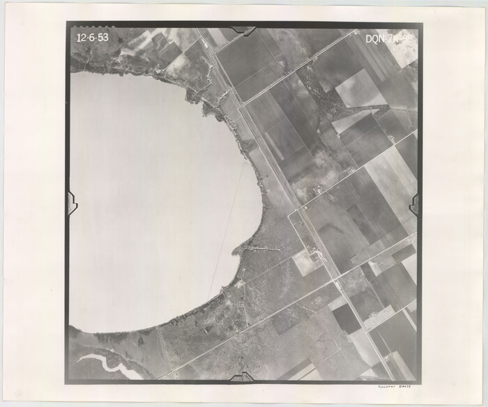

Print $20.00
- Digital $50.00
Flight Mission No. DQN-7K, Frame 88, Calhoun County
1953
Size 18.5 x 22.1 inches
Map/Doc 84479
Southern Part of Laguna Madre
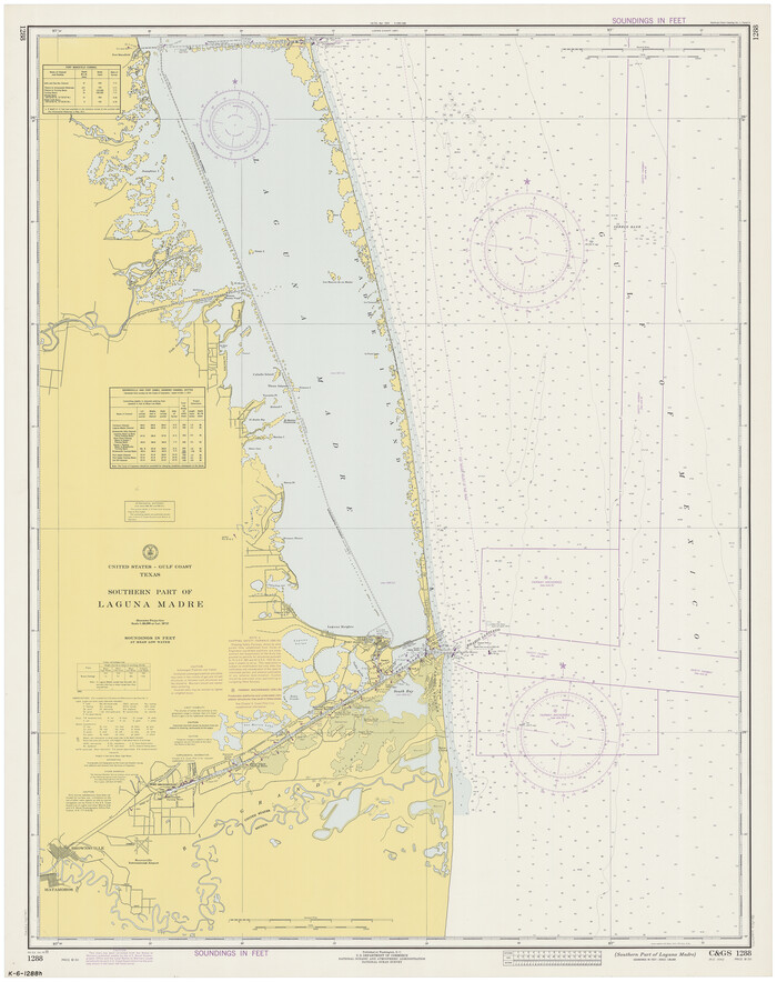

Print $20.00
- Digital $50.00
Southern Part of Laguna Madre
1972
Size 44.3 x 35.6 inches
Map/Doc 73542
You may also like
Travis County Sketch File 73


Print $8.00
- Digital $50.00
Travis County Sketch File 73
1848
Size 12.8 x 8.3 inches
Map/Doc 38464
Map of Coleman County, Texas


Print $40.00
- Digital $50.00
Map of Coleman County, Texas
Size 41.6 x 62.6 inches
Map/Doc 89871
Flight Mission No. CUG-2P, Frame 78, Kleberg County
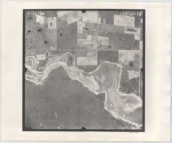

Print $20.00
- Digital $50.00
Flight Mission No. CUG-2P, Frame 78, Kleberg County
1956
Size 18.5 x 22.2 inches
Map/Doc 86210
McLennan County Working Sketch 8


Print $20.00
- Digital $50.00
McLennan County Working Sketch 8
1974
Size 34.1 x 30.6 inches
Map/Doc 70701
Wichita County Sketch File 13a
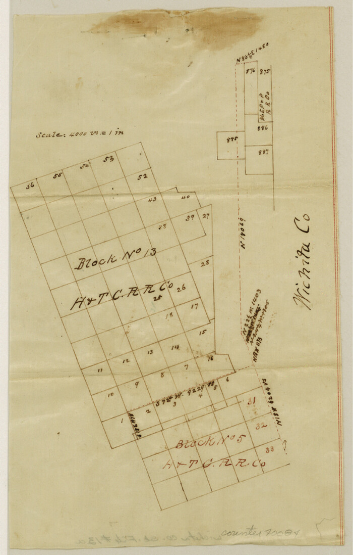

Print $6.00
- Digital $50.00
Wichita County Sketch File 13a
1881
Size 9.4 x 6.0 inches
Map/Doc 40084
Flight Mission No. BRA-8M, Frame 123, Jefferson County


Print $20.00
- Digital $50.00
Flight Mission No. BRA-8M, Frame 123, Jefferson County
1953
Size 18.7 x 22.3 inches
Map/Doc 85619
General Highway Map, Hood County, Somervell County, Texas
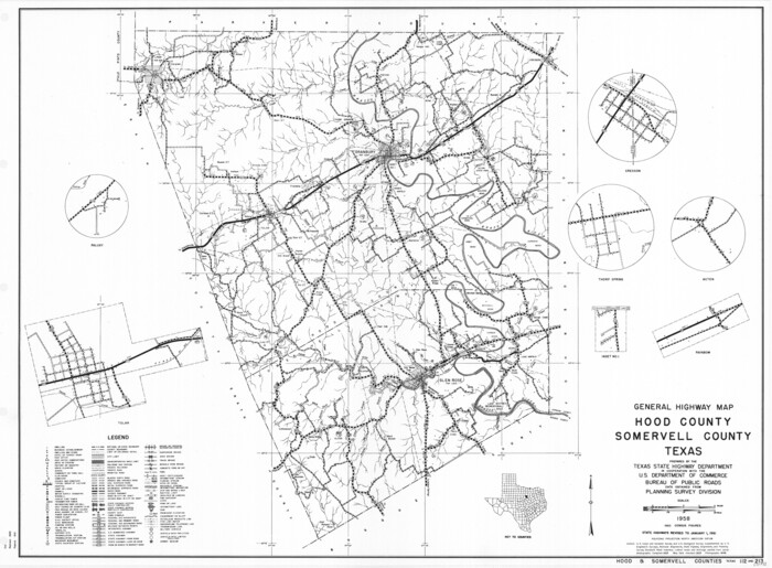

Print $20.00
General Highway Map, Hood County, Somervell County, Texas
1961
Size 18.1 x 24.6 inches
Map/Doc 79523
Presidio County Rolled Sketch 100


Print $20.00
- Digital $50.00
Presidio County Rolled Sketch 100
1954
Size 30.4 x 30.2 inches
Map/Doc 7382
Foard County Boundary File 5a
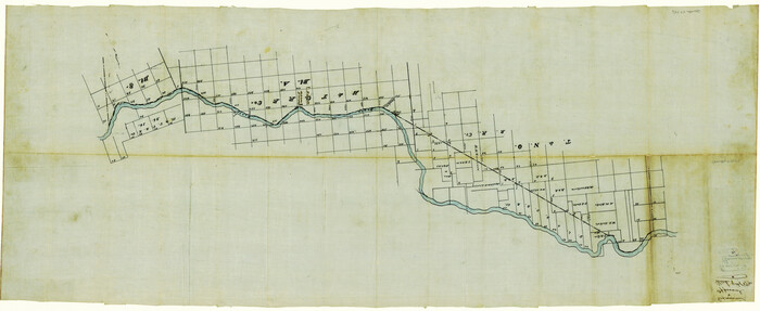

Print $40.00
- Digital $50.00
Foard County Boundary File 5a
Size 18.2 x 44.4 inches
Map/Doc 53546
Galveston Bay and Approaches
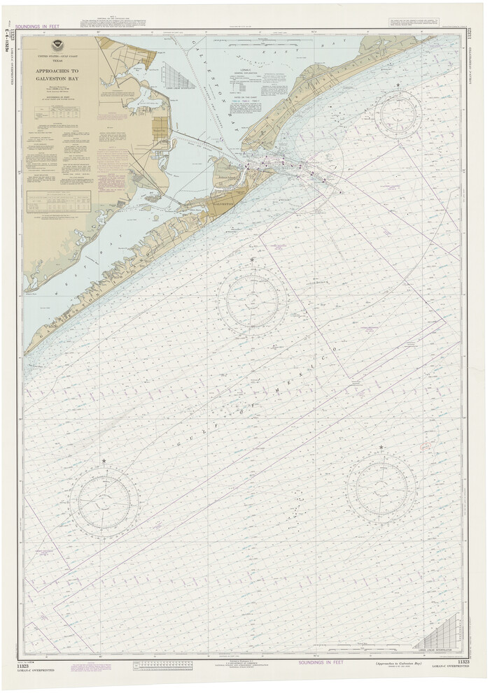

Print $40.00
- Digital $50.00
Galveston Bay and Approaches
1982
Size 51.4 x 37.0 inches
Map/Doc 69885
Coke County Working Sketch Graphic Index
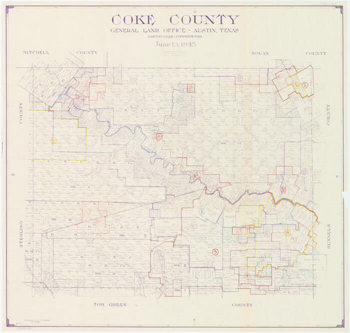

Print $20.00
- Digital $50.00
Coke County Working Sketch Graphic Index
1945
Size 38.9 x 41.5 inches
Map/Doc 76496

