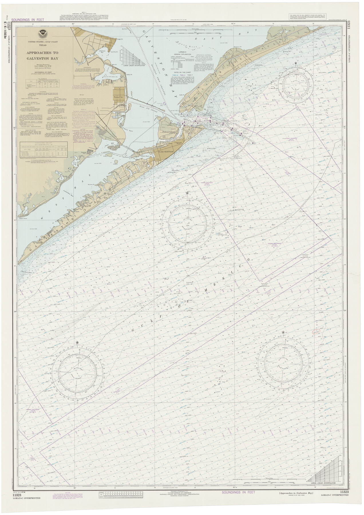
Galveston Bay and Approaches
K-6-1282d
-
Map/Doc
69885
-
Collection
General Map Collection
-
Object Dates
4/24/1982 (Creation Date)
-
Counties
Galveston
-
Subjects
Nautical Charts
-
Height x Width
51.4 x 37.0 inches
130.6 x 94.0 cm
Part of: General Map Collection
Deaf Smith County

Print $40.00
- Digital $50.00
Deaf Smith County
1926
Size 41.4 x 54.3 inches
Map/Doc 1816
Leon County Working Sketch 27

Print $20.00
- Digital $50.00
Leon County Working Sketch 27
1970
Size 22.4 x 24.4 inches
Map/Doc 70426
Brown County Rolled Sketch 2B

Print $20.00
- Digital $50.00
Brown County Rolled Sketch 2B
1984
Size 24.3 x 18.6 inches
Map/Doc 5351
Ward County Sketch File 13

Print $14.00
- Digital $50.00
Ward County Sketch File 13
1951
Size 14.5 x 8.8 inches
Map/Doc 39640
Zavala County Working Sketch 3

Print $20.00
- Digital $50.00
Zavala County Working Sketch 3
1912
Size 37.1 x 46.9 inches
Map/Doc 62078
Flight Mission No. DQN-1K, Frame 104, Calhoun County

Print $20.00
- Digital $50.00
Flight Mission No. DQN-1K, Frame 104, Calhoun County
1953
Size 18.4 x 22.1 inches
Map/Doc 84171
Baylor County Sketch File 12C

Print $8.00
- Digital $50.00
Baylor County Sketch File 12C
1900
Size 13.5 x 8.8 inches
Map/Doc 14155
Fisher County Rolled Sketch 3

Print $20.00
- Digital $50.00
Fisher County Rolled Sketch 3
Size 40.5 x 38.6 inches
Map/Doc 8887
Flight Mission No. CRC-4R, Frame 186, Chambers County

Print $20.00
- Digital $50.00
Flight Mission No. CRC-4R, Frame 186, Chambers County
1956
Size 18.6 x 22.3 inches
Map/Doc 84937
Wichita County Working Sketch 9

Print $20.00
- Digital $50.00
Wichita County Working Sketch 9
1920
Size 23.7 x 17.6 inches
Map/Doc 72518
Baylor County Sketch File Z4

Print $2.00
- Digital $50.00
Baylor County Sketch File Z4
1898
Size 9.3 x 7.2 inches
Map/Doc 14114
Hudspeth County Working Sketch 56

Print $20.00
- Digital $50.00
Hudspeth County Working Sketch 56
1992
Size 40.7 x 31.1 inches
Map/Doc 66341
You may also like
Travis County Appraisal District Plat Map 3_0104

Print $20.00
- Digital $50.00
Travis County Appraisal District Plat Map 3_0104
Size 21.5 x 26.4 inches
Map/Doc 94224
[Sketch for Mineral Application 11318 - Arenosa Creek, S. G. Drushel]
![65647, [Sketch for Mineral Application 11318 - Arenosa Creek, S. G. Drushel], General Map Collection](https://historictexasmaps.com/wmedia_w700/maps/65647-1.tif.jpg)
Print $40.00
- Digital $50.00
[Sketch for Mineral Application 11318 - Arenosa Creek, S. G. Drushel]
Size 78.9 x 24.8 inches
Map/Doc 65647
Edwards County Rolled Sketch 18

Print $20.00
- Digital $50.00
Edwards County Rolled Sketch 18
1947
Size 21.8 x 21.2 inches
Map/Doc 5807
Throckmorton Co.

Print $20.00
- Digital $50.00
Throckmorton Co.
1898
Size 41.7 x 36.7 inches
Map/Doc 63064
Bexar County Sketch File 36a

Print $10.00
- Digital $50.00
Bexar County Sketch File 36a
1873
Size 11.3 x 8.8 inches
Map/Doc 14507
Val Verde County Rolled Sketch 65

Print $20.00
- Digital $50.00
Val Verde County Rolled Sketch 65
1956
Size 43.0 x 45.0 inches
Map/Doc 10083

Knox County Working Sketch 5

Print $20.00
- Digital $50.00
Knox County Working Sketch 5
1919
Size 27.1 x 23.2 inches
Map/Doc 70247
Mapa de los Estados Unidos de Méjico, Segun lo organizado y definido por las varias actas del Congreso de dicha Republica: y construido por las mejores autoridades

Print $20.00
- Digital $50.00
Mapa de los Estados Unidos de Méjico, Segun lo organizado y definido por las varias actas del Congreso de dicha Republica: y construido por las mejores autoridades
1828
Size 30.2 x 42.2 inches
Map/Doc 93933
Kerr County Sketch File 1b

Print $2.00
- Digital $50.00
Kerr County Sketch File 1b
Size 8.1 x 10.2 inches
Map/Doc 28850
Sketch of surveys in Harrison & Marion Cos. Showing Caddo Lake & Subdivisions

Print $20.00
- Digital $50.00
Sketch of surveys in Harrison & Marion Cos. Showing Caddo Lake & Subdivisions
1955
Size 32.7 x 33.1 inches
Map/Doc 1928
Sketch Showing Construction of Block B7 and Bravo Fence, Oldham County

Print $20.00
- Digital $50.00
Sketch Showing Construction of Block B7 and Bravo Fence, Oldham County
Size 37.8 x 24.9 inches
Map/Doc 91485