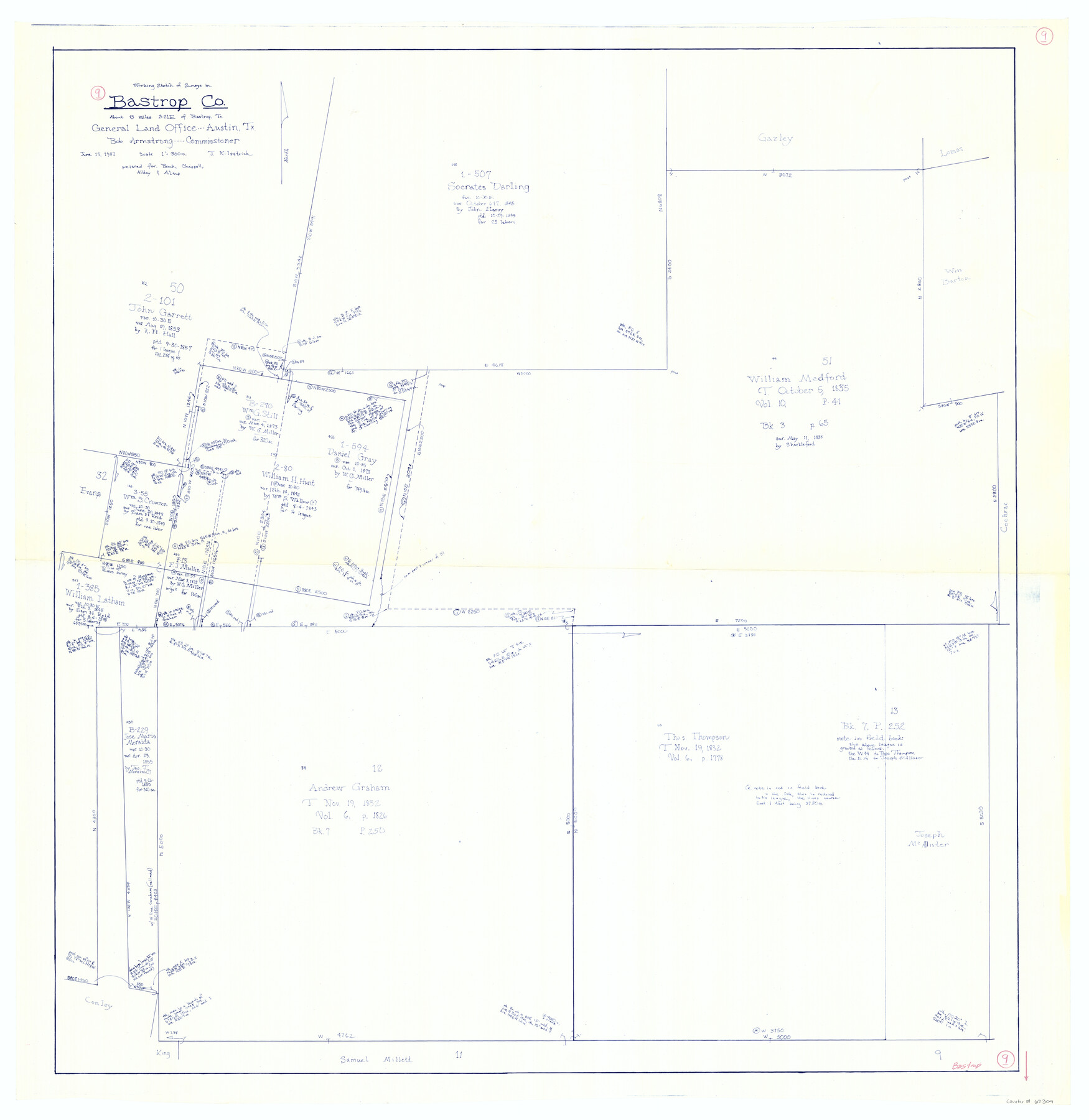
Bastrop County Working Sketch 9
-
Map/Doc
67309
-
Collection
General Map Collection
-
Object Dates
6/15/1981 (Creation Date)
-
People and Organizations
Joan Kilpatrick (Draftsman)
Bob Armstrong (GLO Commissioner)
-
Counties
Bastrop
-
Subjects
Surveying Working Sketch
-
Height x Width
44.9 x 43.7 inches
114.1 x 111.0 cm
-
Scale
1" = 300 varas
-
Comments
Surveys located about 13 miles South 21 degrees East of Bastrop, Texas.
Part of: General Map Collection
Upton County Rolled Sketch 23

Print $20.00
- Digital $50.00
Upton County Rolled Sketch 23
1940
Size 25.7 x 39.4 inches
Map/Doc 8074
Val Verde County Sketch File 14

Print $20.00
- Digital $50.00
Val Verde County Sketch File 14
1879
Size 19.8 x 14.7 inches
Map/Doc 12565
Upper Galveston Bay, Houston Ship Channel, Dollar Pt. to Atkinson I.

Print $40.00
- Digital $50.00
Upper Galveston Bay, Houston Ship Channel, Dollar Pt. to Atkinson I.
1992
Size 49.2 x 37.0 inches
Map/Doc 69899
Pecos County Sketch File 107

Print $4.00
- Digital $50.00
Pecos County Sketch File 107
Size 14.4 x 8.7 inches
Map/Doc 34035
Briscoe County Rolled Sketch 14A

Print $40.00
- Digital $50.00
Briscoe County Rolled Sketch 14A
1913
Size 34.6 x 48.1 inches
Map/Doc 8530
Hays County Working Sketch 12

Print $20.00
- Digital $50.00
Hays County Working Sketch 12
1950
Size 22.8 x 24.3 inches
Map/Doc 66086

Throckmorton County Boundary File 3

Print $40.00
- Digital $50.00
Throckmorton County Boundary File 3
Size 18.9 x 17.9 inches
Map/Doc 59281
Hardeman County

Print $20.00
- Digital $50.00
Hardeman County
1935
Size 42.8 x 40.0 inches
Map/Doc 77302
Jeff Davis County Sketch File 9

Print $40.00
- Digital $50.00
Jeff Davis County Sketch File 9
Size 15.1 x 17.6 inches
Map/Doc 27920
McMullen County Sketch File 26

Print $20.00
- Digital $50.00
McMullen County Sketch File 26
1884
Size 14.7 x 19.8 inches
Map/Doc 12060
Flight Mission No. CLL-1N, Frame 40, Willacy County

Print $20.00
- Digital $50.00
Flight Mission No. CLL-1N, Frame 40, Willacy County
1954
Size 18.5 x 22.2 inches
Map/Doc 87021
You may also like
Plat of a survey on Padre Island in Willacy and Kenedy Counties surveyed for South Padre Development Corporation by Settles and Claunch

Print $40.00
- Digital $50.00
Plat of a survey on Padre Island in Willacy and Kenedy Counties surveyed for South Padre Development Corporation by Settles and Claunch
1966
Size 53.6 x 40.9 inches
Map/Doc 61425
General Highway Map, Tom Green County, Texas

Print $20.00
General Highway Map, Tom Green County, Texas
1961
Size 18.4 x 25.0 inches
Map/Doc 79678
Map of Wood County, Texas

Print $20.00
- Digital $50.00
Map of Wood County, Texas
1879
Size 17.5 x 17.1 inches
Map/Doc 659
Bexar County Sketch File 47

Print $40.00
- Digital $50.00
Bexar County Sketch File 47
1896
Size 9.9 x 19.6 inches
Map/Doc 10925
The Republic County of Victoria. Proposed, Late Fall 1837

Print $20.00
The Republic County of Victoria. Proposed, Late Fall 1837
2020
Size 22.5 x 21.7 inches
Map/Doc 96294
Coke County Sketch File 7

Print $20.00
- Digital $50.00
Coke County Sketch File 7
Size 18.9 x 22.4 inches
Map/Doc 11105
K&E Leroy Lettering Set - 3240

K&E Leroy Lettering Set - 3240
1950
Size 1.8 x 15.8 inches
Map/Doc 97313
Map of Bandera County

Print $40.00
- Digital $50.00
Map of Bandera County
1885
Size 31.3 x 60.9 inches
Map/Doc 3273
Chambers County NRC Article 33.136 Sketch 2

Print $2.00
- Digital $50.00
Chambers County NRC Article 33.136 Sketch 2
2004
Size 8.2 x 10.8 inches
Map/Doc 82998
Outer Continental Shelf Leasing Maps (Louisiana Offshore Operations)

Print $20.00
- Digital $50.00
Outer Continental Shelf Leasing Maps (Louisiana Offshore Operations)
1954
Size 16.2 x 16.3 inches
Map/Doc 76107

McLennan County Sketch File 20

Print $2.00
- Digital $50.00
McLennan County Sketch File 20
Size 8.0 x 9.1 inches
Map/Doc 31293