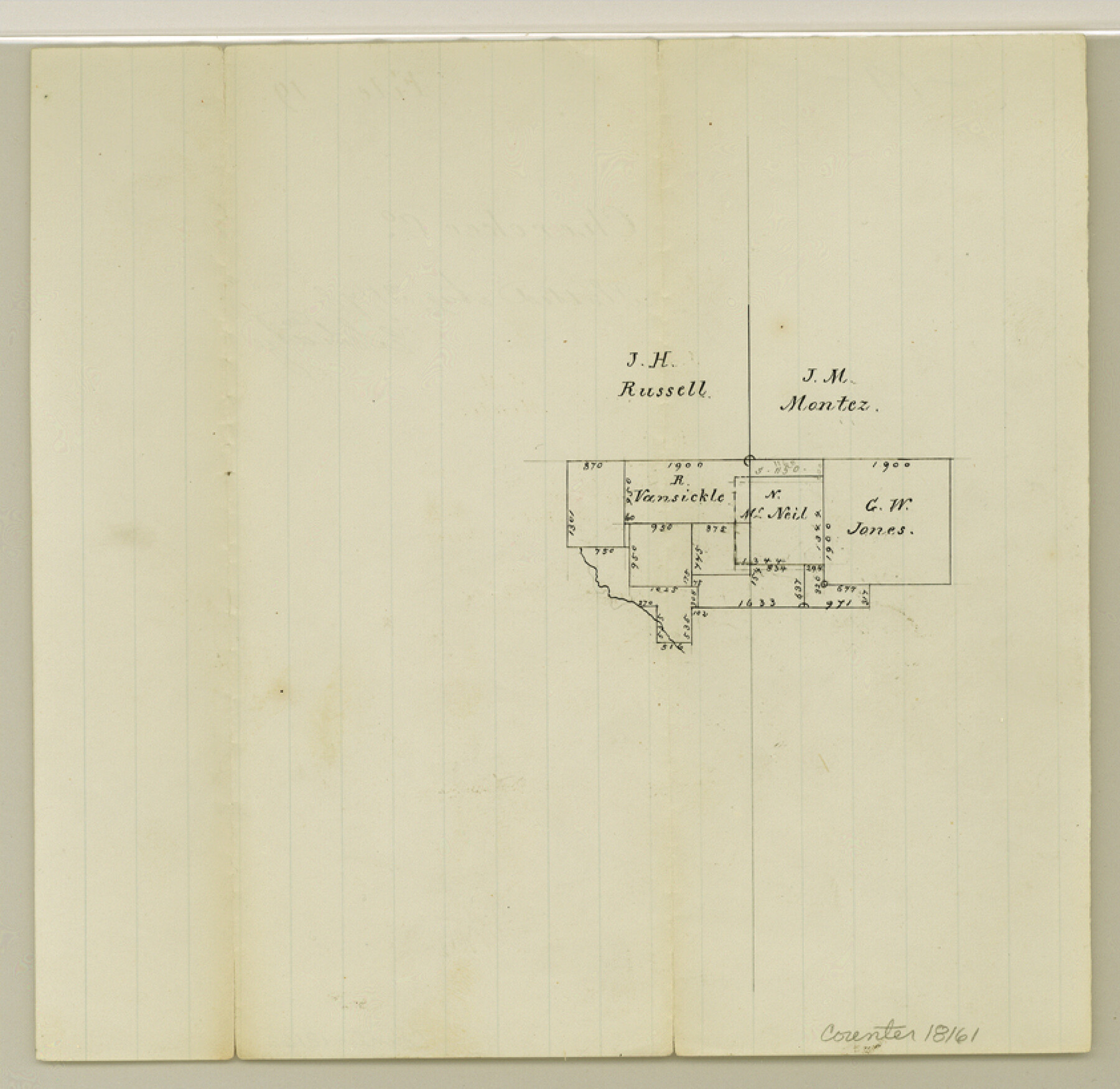
Cherokee County Sketch File 19
[Office sketch of the area around the Vansickle, McNeil, and Jones surveys northeast of Rusk]
-
Map/Doc
18161
-
Collection
General Map Collection
-
Object Dates
1876/8/31 (Creation Date)
-
People and Organizations
E. Schutze (Draftsman)
-
Counties
Cherokee
-
Subjects
Surveying Sketch File
-
Height x Width
8.2 x 8.4 inches
20.8 x 21.3 cm
-
Medium
paper, manuscript
Part of: General Map Collection
Terrell County Working Sketch 41

Print $20.00
- Digital $50.00
Terrell County Working Sketch 41
1957
Size 29.1 x 38.2 inches
Map/Doc 62134
Mills County Boundary File 11

Print $20.00
- Digital $50.00
Mills County Boundary File 11
Size 17.2 x 22.1 inches
Map/Doc 57333
Henderson County Working Sketch 9

Print $20.00
- Digital $50.00
Henderson County Working Sketch 9
1921
Size 30.9 x 16.7 inches
Map/Doc 66142
University Lands, Block 35, Crane & Ector Counties

Print $20.00
- Digital $50.00
University Lands, Block 35, Crane & Ector Counties
1935
Size 39.9 x 45.5 inches
Map/Doc 2406
Sutton County Working Sketch 48

Print $20.00
- Digital $50.00
Sutton County Working Sketch 48
1955
Size 34.8 x 33.1 inches
Map/Doc 62391
Freestone County Working Sketch 28

Print $20.00
- Digital $50.00
Freestone County Working Sketch 28
1981
Size 17.2 x 22.5 inches
Map/Doc 69270
Ward County Rolled Sketch 29

Print $20.00
- Digital $50.00
Ward County Rolled Sketch 29
Size 31.8 x 27.4 inches
Map/Doc 89287
Childress County Sketch File 15

Print $8.00
- Digital $50.00
Childress County Sketch File 15
Size 14.3 x 8.3 inches
Map/Doc 18278
The City of Austin and Suburbs

Print $40.00
- Digital $50.00
The City of Austin and Suburbs
1919
Size 120.7 x 73.5 inches
Map/Doc 2204
Sutton County Rolled Sketch 45

Print $20.00
- Digital $50.00
Sutton County Rolled Sketch 45
Size 39.1 x 47.2 inches
Map/Doc 9974
Flight Mission No. DQO-8K, Frame 11, Galveston County

Print $20.00
- Digital $50.00
Flight Mission No. DQO-8K, Frame 11, Galveston County
1952
Size 18.7 x 22.3 inches
Map/Doc 85134
Palo Pinto County Working Sketch 7

Print $20.00
- Digital $50.00
Palo Pinto County Working Sketch 7
1922
Map/Doc 71390
You may also like
Brazoria County Sketch File 9

Print $6.00
- Digital $50.00
Brazoria County Sketch File 9
Size 14.0 x 9.0 inches
Map/Doc 14936
Angelina County Working Sketch 53

Print $40.00
- Digital $50.00
Angelina County Working Sketch 53
1988
Size 42.9 x 58.5 inches
Map/Doc 67137
Map of the Texas and Pacific Railway and connections

Print $20.00
- Digital $50.00
Map of the Texas and Pacific Railway and connections
1925
Size 8.2 x 9.3 inches
Map/Doc 95772
Dawson County Working Sketch 9

Print $20.00
- Digital $50.00
Dawson County Working Sketch 9
1943
Size 15.2 x 13.0 inches
Map/Doc 68553
[Sketch showing various County School Land Leagues]
![89736, [Sketch showing various County School Land Leagues], Twichell Survey Records](https://historictexasmaps.com/wmedia_w700/maps/89736-1.tif.jpg)
Print $40.00
- Digital $50.00
[Sketch showing various County School Land Leagues]
Size 60.6 x 38.5 inches
Map/Doc 89736
Hood County Sketch File 7

Print $6.00
- Digital $50.00
Hood County Sketch File 7
Size 12.9 x 7.9 inches
Map/Doc 26581
Packery Channel

Print $20.00
- Digital $50.00
Packery Channel
1950
Size 17.6 x 17.5 inches
Map/Doc 2997
Erath County Working Sketch 48

Print $20.00
- Digital $50.00
Erath County Working Sketch 48
1989
Size 36.5 x 47.6 inches
Map/Doc 69129
The Judicial District/County of Madison. Abolished, Spring 1842

Print $20.00
The Judicial District/County of Madison. Abolished, Spring 1842
2020
Size 18.2 x 21.7 inches
Map/Doc 96334
Travis County Working Sketch 53

Print $40.00
- Digital $50.00
Travis County Working Sketch 53
1964
Size 42.7 x 53.0 inches
Map/Doc 69437
St. Louis, Brownsville & Mexico Railway Location Map from Mile 0 to Mile 20

Print $40.00
- Digital $50.00
St. Louis, Brownsville & Mexico Railway Location Map from Mile 0 to Mile 20
1906
Size 19.3 x 57.7 inches
Map/Doc 64076
Colorado County Working Sketch 5

Print $40.00
- Digital $50.00
Colorado County Working Sketch 5
1919
Size 82.4 x 44.1 inches
Map/Doc 68105