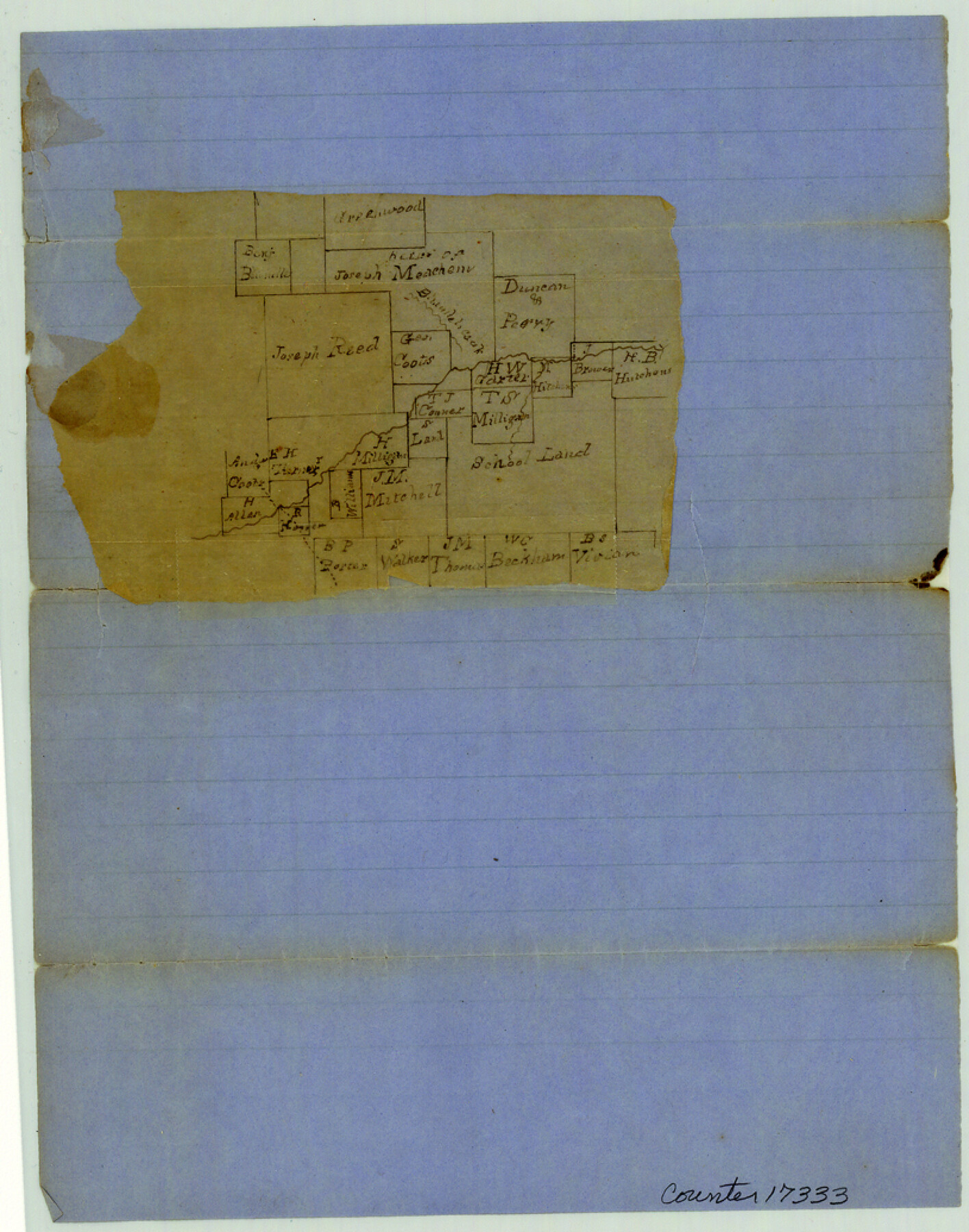
Camp County Sketch File 1
[Sketch in northwest corner of county on both sides of Big Cypress Creek]
-
Map/Doc
17333
-
Collection
General Map Collection
-
Counties
Camp Titus
-
Subjects
Surveying Sketch File
-
Height x Width
10.4 x 8.1 inches
26.4 x 20.6 cm
-
Medium
paper, manuscript
-
Features
[Big Cypress Creek]
Part of: General Map Collection
Hudspeth County Rolled Sketch 20

Print $20.00
- Digital $50.00
Hudspeth County Rolled Sketch 20
Size 39.5 x 44.3 inches
Map/Doc 76028
Llano County Sketch File 11

Print $10.00
- Digital $50.00
Llano County Sketch File 11
1885
Size 9.5 x 8.5 inches
Map/Doc 30375
Andrews County Rolled Sketch 14A

Print $20.00
- Digital $50.00
Andrews County Rolled Sketch 14A
1934
Size 31.2 x 23.6 inches
Map/Doc 77165
Hays County State Real Property Sketch 3

Print $20.00
- Digital $50.00
Hays County State Real Property Sketch 3
2003
Size 24.0 x 37.2 inches
Map/Doc 96638
Flight Mission No. CRC-4R, Frame 185, Chambers County

Print $20.00
- Digital $50.00
Flight Mission No. CRC-4R, Frame 185, Chambers County
1956
Size 18.5 x 22.2 inches
Map/Doc 84936
Tyler County Working Sketch 21

Print $20.00
- Digital $50.00
Tyler County Working Sketch 21
1985
Size 21.1 x 21.0 inches
Map/Doc 69491
Rio Grande, Willamar Sheet

Print $20.00
- Digital $50.00
Rio Grande, Willamar Sheet
1937
Size 36.9 x 37.2 inches
Map/Doc 65111
Young County Working Sketch 21

Print $20.00
- Digital $50.00
Young County Working Sketch 21
1964
Size 42.2 x 31.2 inches
Map/Doc 62044
Rusk County Sketch File 8

Print $4.00
Rusk County Sketch File 8
1856
Size 12.7 x 8.2 inches
Map/Doc 35503
[Copy from Harris County map]
![78371, [Copy from Harris County map], General Map Collection](https://historictexasmaps.com/wmedia_w700/maps/78371.tif.jpg)
Print $2.00
- Digital $50.00
[Copy from Harris County map]
Size 7.4 x 3.9 inches
Map/Doc 78371
Harrison County Sketch File 3

Print $8.00
- Digital $50.00
Harrison County Sketch File 3
Size 13.0 x 8.3 inches
Map/Doc 26036
Brewster County Rolled Sketch 115

Digital $50.00
Brewster County Rolled Sketch 115
Size 11.5 x 138.4 inches
Map/Doc 8514
You may also like
Coryell County Sketch File 9

Print $4.00
- Digital $50.00
Coryell County Sketch File 9
1858
Size 7.2 x 8.2 inches
Map/Doc 19359
Flight Mission No. DCL-6C, Frame 97, Kenedy County

Print $20.00
- Digital $50.00
Flight Mission No. DCL-6C, Frame 97, Kenedy County
1943
Size 18.6 x 22.3 inches
Map/Doc 85927
Atascosa County Sketch File 31

Print $4.00
- Digital $50.00
Atascosa County Sketch File 31
1910
Size 9.4 x 4.3 inches
Map/Doc 13825
[Photostats of section of Hydrographic Surveys H-5399, H-4822 and H-470, Mouth of Trinity River]
![61154, [Photostats of section of Hydrographic Surveys H-5399, H-4822 and H-470, Mouth of Trinity River], General Map Collection](https://historictexasmaps.com/wmedia_w700/maps/61154.tif.jpg)
Print $20.00
- Digital $50.00
[Photostats of section of Hydrographic Surveys H-5399, H-4822 and H-470, Mouth of Trinity River]
1933
Size 18.2 x 25.8 inches
Map/Doc 61154
Galveston County Rolled Sketch US

Print $20.00
- Digital $50.00
Galveston County Rolled Sketch US
1929
Size 27.6 x 44.6 inches
Map/Doc 9087
General Highway Map, Franklin County, Morris County, Titus County, Camp County

Print $20.00
General Highway Map, Franklin County, Morris County, Titus County, Camp County
1940
Size 18.4 x 25.1 inches
Map/Doc 79040
[Maps of surveys in Reeves & Culberson Cos]
![61147, [Maps of surveys in Reeves & Culberson Cos], General Map Collection](https://historictexasmaps.com/wmedia_w700/maps/61147.tif.jpg)
Print $20.00
- Digital $50.00
[Maps of surveys in Reeves & Culberson Cos]
1937
Size 30.6 x 24.9 inches
Map/Doc 61147
Terrell County Working Sketch 59

Print $20.00
- Digital $50.00
Terrell County Working Sketch 59
1961
Size 20.3 x 21.8 inches
Map/Doc 69580
Angelina County Working Sketch 26

Print $40.00
- Digital $50.00
Angelina County Working Sketch 26
1954
Size 50.0 x 67.9 inches
Map/Doc 67108
General Highway Map, Shackelford County, Texas

Print $20.00
General Highway Map, Shackelford County, Texas
1940
Size 18.4 x 24.8 inches
Map/Doc 79241
Anderson County Sketch File 2

Print $4.00
- Digital $50.00
Anderson County Sketch File 2
1847
Size 12.6 x 8.2 inches
Map/Doc 12739
Wilbarger County Working Sketch 11

Print $40.00
- Digital $50.00
Wilbarger County Working Sketch 11
1952
Size 27.7 x 51.7 inches
Map/Doc 72549