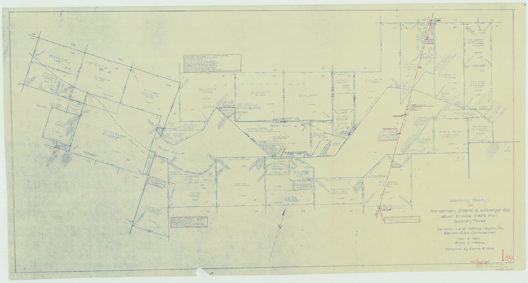
Wilbarger County Working Sketch 11
-
Map/Doc
72549
-
Collection
General Map Collection
-
Object Dates
10/4/1952 (Creation Date)
-
People and Organizations
Curtis R. Hale (Draftsman)
-
Counties
Wilbarger Hardeman Foard
-
Subjects
Surveying Working Sketch
-
Height x Width
27.7 x 51.7 inches
70.4 x 131.3 cm
-
Scale
1" = 400 varas
Part of: General Map Collection
Terry County Sketch File 18

Print $36.00
- Digital $50.00
Terry County Sketch File 18
Size 8.9 x 11.4 inches
Map/Doc 38039
Chambers County Sketch File 49

Print $26.00
- Digital $50.00
Chambers County Sketch File 49
Size 14.3 x 8.9 inches
Map/Doc 18045
West Part of Liberty Co.

Print $20.00
- Digital $50.00
West Part of Liberty Co.
1977
Size 43.5 x 32.9 inches
Map/Doc 77353
Brewster County Sketch File NS-6

Print $40.00
- Digital $50.00
Brewster County Sketch File NS-6
1944
Size 31.8 x 18.6 inches
Map/Doc 10989
Real County Working Sketch 62

Print $20.00
- Digital $50.00
Real County Working Sketch 62
1966
Size 26.4 x 23.2 inches
Map/Doc 71954
Flight Mission No. DQN-1K, Frame 83, Calhoun County

Print $20.00
- Digital $50.00
Flight Mission No. DQN-1K, Frame 83, Calhoun County
1953
Size 18.4 x 22.2 inches
Map/Doc 84168
Flight Mission No. CRC-4R, Frame 96, Chambers County

Print $20.00
- Digital $50.00
Flight Mission No. CRC-4R, Frame 96, Chambers County
1956
Size 18.4 x 22.2 inches
Map/Doc 84893
Comanche County Boundary File 1

Print $20.00
- Digital $50.00
Comanche County Boundary File 1
Size 14.4 x 8.8 inches
Map/Doc 51778
Archer County Sketch File 17

Print $4.00
- Digital $50.00
Archer County Sketch File 17
1901
Size 11.3 x 8.6 inches
Map/Doc 13653
Copy of Surveyor's Field Book, Morris Browning - In Blocks 7, 5 & 4, I&GNRRCo., Hutchinson and Carson Counties, Texas

Print $2.00
- Digital $50.00
Copy of Surveyor's Field Book, Morris Browning - In Blocks 7, 5 & 4, I&GNRRCo., Hutchinson and Carson Counties, Texas
1888
Size 6.9 x 8.8 inches
Map/Doc 62263
Menard County Boundary File 4

Print $12.00
- Digital $50.00
Menard County Boundary File 4
Size 10.9 x 8.6 inches
Map/Doc 57076
Kleberg County Rolled Sketch 10-7

Print $20.00
- Digital $50.00
Kleberg County Rolled Sketch 10-7
1953
Size 37.3 x 34.5 inches
Map/Doc 9401
You may also like
Montgomery County Working Sketch 29

Print $20.00
- Digital $50.00
Montgomery County Working Sketch 29
1942
Size 32.3 x 33.9 inches
Map/Doc 71136
[Surveys in the Bexar District along the Nueces and Leona Rivers]
![116, [Surveys in the Bexar District along the Nueces and Leona Rivers], General Map Collection](https://historictexasmaps.com/wmedia_w700/maps/116.tif.jpg)
Print $3.00
- Digital $50.00
[Surveys in the Bexar District along the Nueces and Leona Rivers]
1845
Size 10.9 x 14.3 inches
Map/Doc 116
Wichita County Sketch File H

Print $4.00
- Digital $50.00
Wichita County Sketch File H
1884
Size 12.8 x 8.2 inches
Map/Doc 40089
Walker County Working Sketch 15

Print $20.00
- Digital $50.00
Walker County Working Sketch 15
1967
Size 26.9 x 24.8 inches
Map/Doc 72295
Pecos County Rolled Sketch 151

Print $20.00
- Digital $50.00
Pecos County Rolled Sketch 151
Size 40.6 x 23.6 inches
Map/Doc 7281
Current Miscellaneous File 116

Print $8.00
- Digital $50.00
Current Miscellaneous File 116
Size 11.3 x 8.8 inches
Map/Doc 74819
Flight Mission No. BRE-1P, Frame 143, Nueces County

Print $20.00
- Digital $50.00
Flight Mission No. BRE-1P, Frame 143, Nueces County
1956
Size 18.3 x 22.2 inches
Map/Doc 86703
Angelina County Sketch File 18b

Print $40.00
- Digital $50.00
Angelina County Sketch File 18b
Size 12.6 x 16.2 inches
Map/Doc 13032
Crockett County Sketch File 88

Print $3.00
- Digital $50.00
Crockett County Sketch File 88
1958
Size 19.3 x 15.8 inches
Map/Doc 11237
Hamilton County Working Sketch 22

Print $20.00
- Digital $50.00
Hamilton County Working Sketch 22
1955
Size 41.6 x 19.0 inches
Map/Doc 63360
[Sketch for Mineral Application 20124, North Fork of Red River]
![77087, [Sketch for Mineral Application 20124, North Fork of Red River], General Map Collection](https://www.historictexasmaps.com/skins/default/img/placeholder/w700.png)
Print $40.00
- Digital $50.00
[Sketch for Mineral Application 20124, North Fork of Red River]
Size 50.8 x 43.5 inches
Map/Doc 77087
Atascosa County Rolled Sketch 22

Print $40.00
- Digital $50.00
Atascosa County Rolled Sketch 22
1917
Size 57.5 x 26.5 inches
Map/Doc 8921