[Beaumont, Sour Lake and Western Ry. Right of Way and Alignment - Frisco]
Right of Way and Alignment Thro' G. and B. Nav. Co.
Z-2-33
-
Map/Doc
64114
-
Collection
General Map Collection
-
Object Dates
1910 (Creation Date)
-
Counties
Hardin
-
Subjects
Railroads
-
Height x Width
19.9 x 46.0 inches
50.5 x 116.8 cm
-
Medium
blueprint/diazo
-
Comments
See counter nos. 64105 through 64133 for all sheets.
-
Features
BSL&W
Pine Island Bayou
Hathaway
Part of: General Map Collection
Carson County Boundary File 1
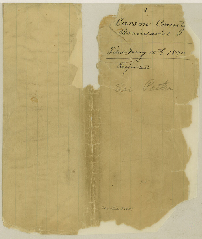

Print $8.00
- Digital $50.00
Carson County Boundary File 1
Size 8.8 x 7.4 inches
Map/Doc 51117
Brewster County Working Sketch 43
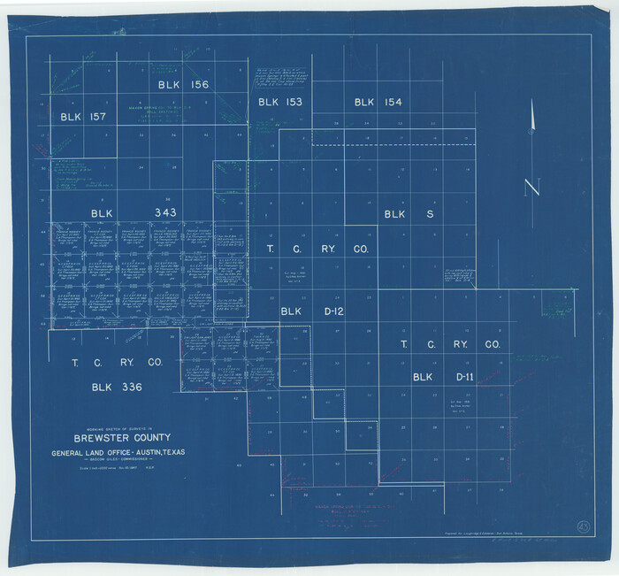

Print $20.00
- Digital $50.00
Brewster County Working Sketch 43
1947
Size 33.7 x 36.2 inches
Map/Doc 67577
[Corpus Christi Bay, Padre Island, Mustang Island, Laguna de la Madre, King and Kenedy's Pasture]
![73046, [Corpus Christi Bay, Padre Island, Mustang Island, Laguna de la Madre, King and Kenedy's Pasture], General Map Collection](https://historictexasmaps.com/wmedia_w700/maps/73046.tif.jpg)
![73046, [Corpus Christi Bay, Padre Island, Mustang Island, Laguna de la Madre, King and Kenedy's Pasture], General Map Collection](https://historictexasmaps.com/wmedia_w700/maps/73046.tif.jpg)
Print $20.00
- Digital $50.00
[Corpus Christi Bay, Padre Island, Mustang Island, Laguna de la Madre, King and Kenedy's Pasture]
Size 26.4 x 18.2 inches
Map/Doc 73046
Comal County Working Sketch 2
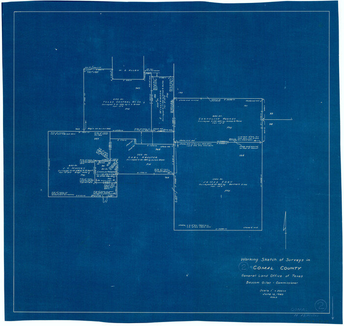

Print $20.00
- Digital $50.00
Comal County Working Sketch 2
1940
Size 19.8 x 20.9 inches
Map/Doc 68168
Runnels County Sketch File 40
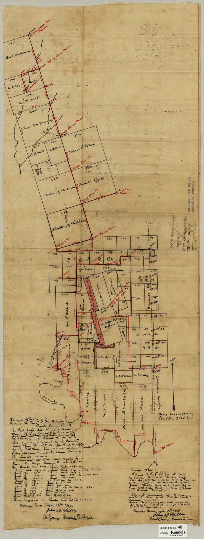

Print $20.00
Runnels County Sketch File 40
1891
Size 37.7 x 14.3 inches
Map/Doc 10594
Concho County Sketch File 36
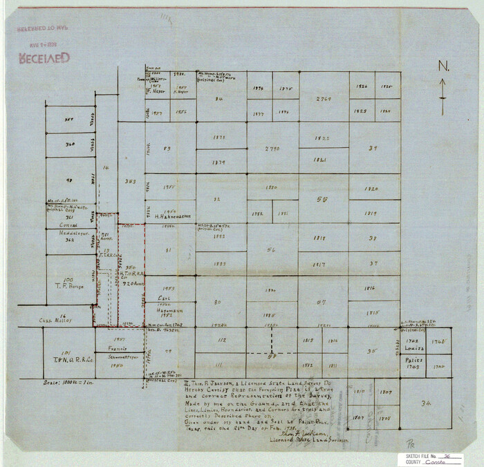

Print $20.00
- Digital $50.00
Concho County Sketch File 36
1938
Size 17.9 x 18.6 inches
Map/Doc 11161
Nautical Chart 152-SC - Galveston Bay, Texas
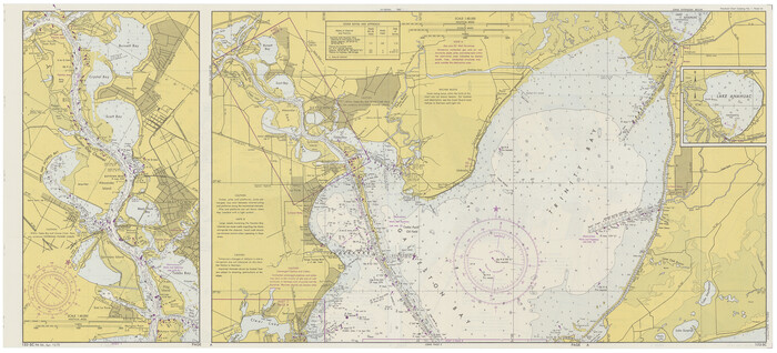

Print $20.00
- Digital $50.00
Nautical Chart 152-SC - Galveston Bay, Texas
1972
Size 14.9 x 32.8 inches
Map/Doc 69889
Brewster County Rolled Sketch 125


Print $179.00
- Digital $50.00
Brewster County Rolled Sketch 125
1889
Map/Doc 43141
Titus County Sketch File 3
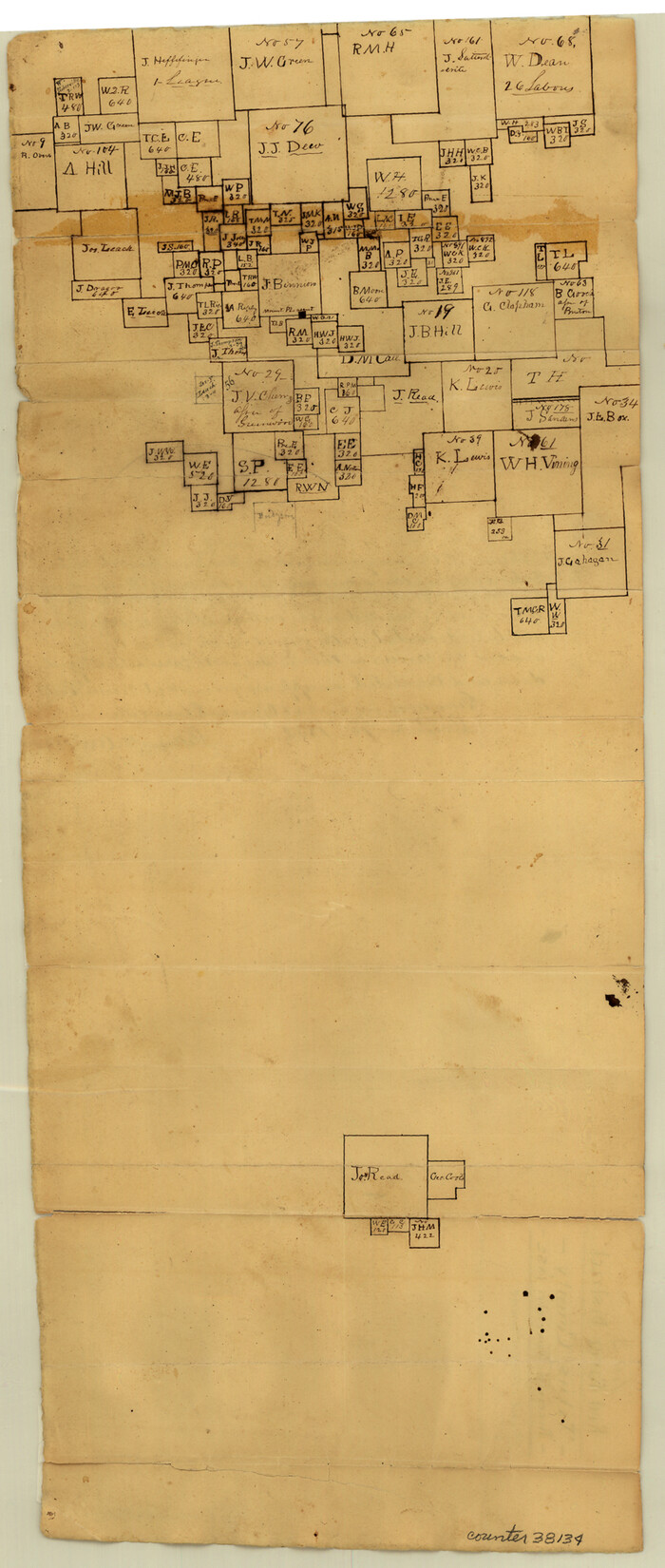

Print $40.00
- Digital $50.00
Titus County Sketch File 3
1852
Size 19.9 x 8.4 inches
Map/Doc 38134
Bell County Sketch File 23a
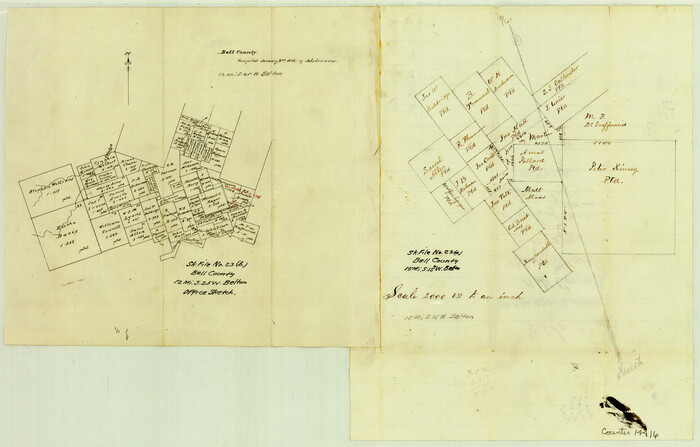

Print $6.00
- Digital $50.00
Bell County Sketch File 23a
1873
Size 10.0 x 15.7 inches
Map/Doc 14416
Val Verde County Working Sketch 68
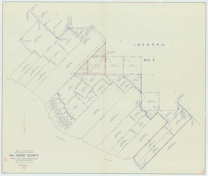

Print $20.00
- Digital $50.00
Val Verde County Working Sketch 68
1965
Size 37.3 x 44.2 inches
Map/Doc 72203
Map of Oceanica engraved to illustrate Mitchell's new intermediate geography


Print $20.00
- Digital $50.00
Map of Oceanica engraved to illustrate Mitchell's new intermediate geography
1885
Size 9.0 x 12.2 inches
Map/Doc 93531
You may also like
Nacogdoches County Rolled Sketch 3


Print $20.00
- Digital $50.00
Nacogdoches County Rolled Sketch 3
1985
Size 39.6 x 27.6 inches
Map/Doc 6837
DeWitt County Working Sketch 2a
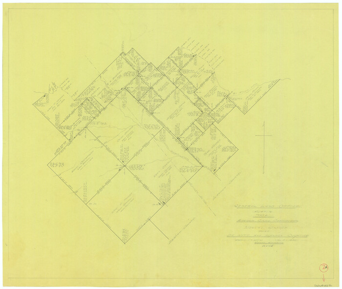

Print $20.00
- Digital $50.00
DeWitt County Working Sketch 2a
1940
Size 25.2 x 29.8 inches
Map/Doc 68592
Chambers County NRC Article 33.136 Sketch 7
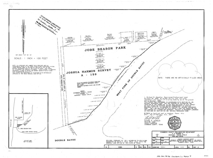

Print $28.00
- Digital $50.00
Chambers County NRC Article 33.136 Sketch 7
2011
Size 18.0 x 24.0 inches
Map/Doc 94753
Nueces County Rolled Sketch 46


Print $45.00
- Digital $50.00
Nueces County Rolled Sketch 46
Size 10.2 x 15.1 inches
Map/Doc 47859
Flight Mission No. DQN-1K, Frame 108, Calhoun County

Print $20.00
- Digital $50.00
Flight Mission No. DQN-1K, Frame 108, Calhoun County
1953
Size 18.4 x 22.1 inches
Map/Doc 84175
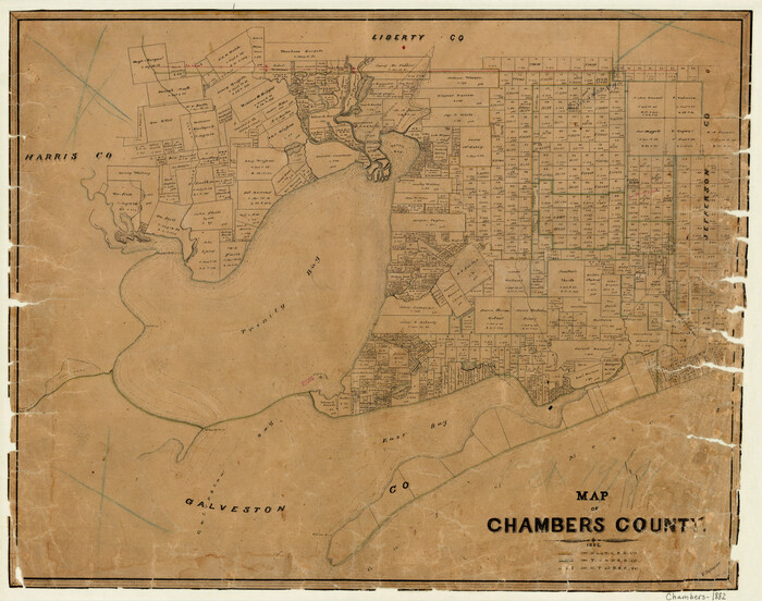
Map of Chambers County

Print $20.00
- Digital $50.00
Map of Chambers County
1882
Size 20.5 x 26.1 inches
Map/Doc 3384
Hutchinson County Working Sketch 6

Print $20.00
- Digital $50.00
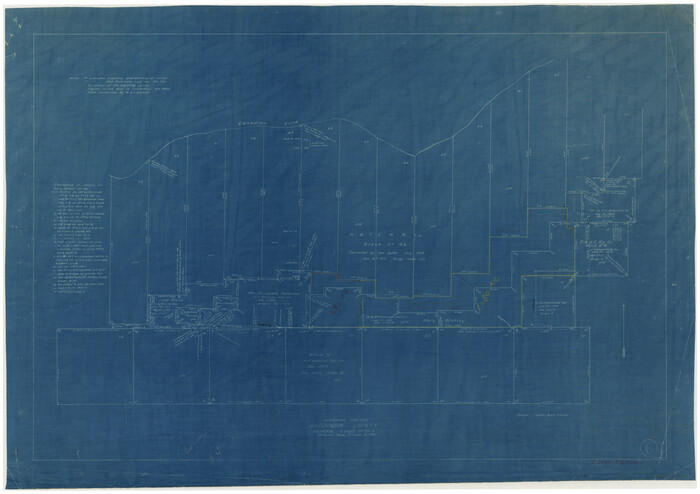
Hutchinson County Working Sketch 6
1914
Size 20.2 x 29.0 inches
Map/Doc 66364
Plat in Pecos County, Texas


Print $40.00
- Digital $50.00
Plat in Pecos County, Texas
1927
Size 58.3 x 37.9 inches
Map/Doc 89877
North Part of Brewster Co.

Print $20.00
- Digital $50.00
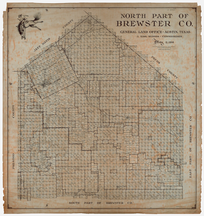
North Part of Brewster Co.
1956
Size 42.4 x 40.2 inches
Map/Doc 1786
[Mary L. Williams or Lydia Glasgow Survey, Bastrop County, Texas]
![572, [Mary L. Williams or Lydia Glasgow Survey, Bastrop County, Texas], Maddox Collection](https://historictexasmaps.com/wmedia_w700/maps/0572-1.tif.jpg)
![572, [Mary L. Williams or Lydia Glasgow Survey, Bastrop County, Texas], Maddox Collection](https://historictexasmaps.com/wmedia_w700/maps/0572-1.tif.jpg)
Print $3.00
- Digital $50.00
[Mary L. Williams or Lydia Glasgow Survey, Bastrop County, Texas]
Size 11.9 x 15.6 inches
Map/Doc 572
Val Verde County Working Sketch 56

Print $20.00
- Digital $50.00
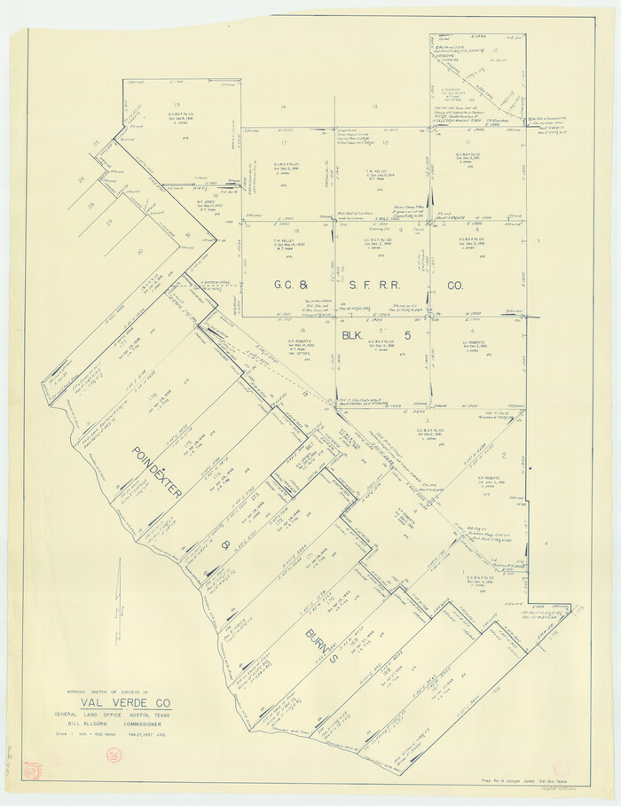
Val Verde County Working Sketch 56
1957
Size 41.8 x 32.2 inches
Map/Doc 72191
[Surveys between Big Keechi Creek and the Trinity River]
![69753, [Surveys between Big Keechi Creek and the Trinity River], General Map Collection](https://historictexasmaps.com/wmedia_w700/maps/69753.tif.jpg)
![69753, [Surveys between Big Keechi Creek and the Trinity River], General Map Collection](https://historictexasmaps.com/wmedia_w700/maps/69753.tif.jpg)
Print $2.00
- Digital $50.00
[Surveys between Big Keechi Creek and the Trinity River]
Size 10.1 x 7.3 inches
Map/Doc 69753
![64114, [Beaumont, Sour Lake and Western Ry. Right of Way and Alignment - Frisco], General Map Collection](https://historictexasmaps.com/wmedia_w1800h1800/maps/64114.tif.jpg)