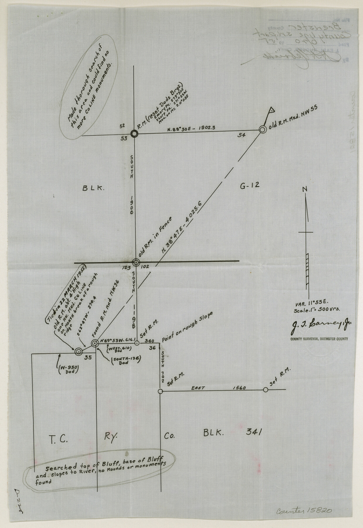
Brewster County Sketch File 22
[Sketch of southwest corner of Brewster County near county line with Presidio County]
-
Map/Doc
15820
-
Collection
General Map Collection
-
Object Dates
1955/6/20 (File Date)
-
People and Organizations
J.T. Carney, Jr. (Surveyor/Engineer)
-
Counties
Brewster Presidio
-
Subjects
Surveying Sketch File
-
Height x Width
15.7 x 10.8 inches
39.9 x 27.4 cm
-
Medium
multi-page, multi-format
-
Features
Aqua Frio Spring
Emory Peak
Sharp Peak
Part of: General Map Collection
Wilbarger County Rolled Sketch 6

Print $20.00
- Digital $50.00
Wilbarger County Rolled Sketch 6
1885
Size 20.3 x 28.0 inches
Map/Doc 8256
Pecos County Working Sketch 83

Print $20.00
- Digital $50.00
Pecos County Working Sketch 83
1961
Size 18.7 x 28.7 inches
Map/Doc 71555

Treaty to Resolve Pending Boundary Differences and Maintain the Rio Grande and Colorado River as the International Boundary Between the United States of American and Mexico

Print $20.00
- Digital $50.00
Treaty to Resolve Pending Boundary Differences and Maintain the Rio Grande and Colorado River as the International Boundary Between the United States of American and Mexico
1970
Size 11.0 x 35.3 inches
Map/Doc 83103
Ward County Rolled Sketch 29

Print $20.00
- Digital $50.00
Ward County Rolled Sketch 29
Size 31.8 x 27.4 inches
Map/Doc 89287
Frio County Sketch File 6

Print $32.00
- Digital $50.00
Frio County Sketch File 6
1883
Size 8.7 x 5.3 inches
Map/Doc 23118
Calhoun County Rolled Sketch 11

Print $20.00
- Digital $50.00
Calhoun County Rolled Sketch 11
1942
Size 10.6 x 40.7 inches
Map/Doc 5367
Edwards County Working Sketch 53

Print $40.00
- Digital $50.00
Edwards County Working Sketch 53
1951
Size 40.8 x 48.5 inches
Map/Doc 68929
Webb County Sketch File LM3

Print $20.00
- Digital $50.00
Webb County Sketch File LM3
1924
Size 24.7 x 31.9 inches
Map/Doc 12658
Freestone County Working Sketch 29

Print $20.00
- Digital $50.00
Freestone County Working Sketch 29
1994
Size 36.0 x 45.5 inches
Map/Doc 69271
Fisher County Sketch File 7

Print $4.00
- Digital $50.00
Fisher County Sketch File 7
1893
Size 14.6 x 9.1 inches
Map/Doc 22565
Lampasas County Sketch File B

Print $20.00
- Digital $50.00
Lampasas County Sketch File B
1886
Size 15.0 x 22.4 inches
Map/Doc 11977
You may also like
Galveston County Rolled Sketch JK

Print $40.00
- Digital $50.00
Galveston County Rolled Sketch JK
1913
Size 25.4 x 56.5 inches
Map/Doc 9092
Ector County Working Sketch 8

Print $20.00
- Digital $50.00
Ector County Working Sketch 8
1944
Size 40.5 x 26.5 inches
Map/Doc 68851
The Republic County of Brazoria. Proposed, Late Fall 1837-January 1, 1838

Print $20.00
The Republic County of Brazoria. Proposed, Late Fall 1837-January 1, 1838
2020
Size 13.0 x 21.7 inches
Map/Doc 96110
Cass County Working Sketch 11

Print $3.00
- Digital $50.00
Cass County Working Sketch 11
Size 14.8 x 10.3 inches
Map/Doc 67914
Hutchinson County Rolled Sketch 44-19

Print $20.00
- Digital $50.00
Hutchinson County Rolled Sketch 44-19
2002
Size 24.0 x 36.0 inches
Map/Doc 77555
Young County Rolled Sketch 15

Print $20.00
- Digital $50.00
Young County Rolled Sketch 15
Size 18.0 x 22.7 inches
Map/Doc 8303
Culberson County Sketch File 1c

Print $4.00
- Digital $50.00
Culberson County Sketch File 1c
1859
Size 7.4 x 8.0 inches
Map/Doc 20111
General Land Office and State Reclamation Department - An Index Map

Print $20.00
- Digital $50.00
General Land Office and State Reclamation Department - An Index Map
1930
Size 26.2 x 16.6 inches
Map/Doc 65069
Brazoria County Working Sketch 41

Print $20.00
- Digital $50.00
Brazoria County Working Sketch 41
1982
Size 26.5 x 35.7 inches
Map/Doc 67526
Red River County Working Sketch 49

Print $20.00
- Digital $50.00
Red River County Working Sketch 49
1970
Size 31.3 x 21.5 inches
Map/Doc 72032
Lee County Sketch File 8

Print $6.00
- Digital $50.00
Lee County Sketch File 8
1838
Size 12.8 x 8.3 inches
Map/Doc 29706
![90567, [Block M], Twichell Survey Records](https://historictexasmaps.com/wmedia_w700/maps/90567-1.tif.jpg)