![126, [Sketches on Lagoona (sic) Creek, Attascosa (sic) and Laredo Road], General Map Collection](https://historictexasmaps.com/wmedia_w1800h1800/maps/126.tif.jpg)
[Sketches on Lagoona (sic) Creek, Attascosa (sic) and Laredo Road]
Atlas E, Page 15, Sketch 4 (E-15-4)
E-15-4
-
Map/Doc
126
-
Collection
General Map Collection
-
Object Dates
1841 (Creation Date)
-
People and Organizations
John C. Hays (Surveyor/Engineer)
-
Counties
Atascosa
-
Subjects
Atlas
-
Height x Width
18.0 x 13.5 inches
45.7 x 34.3 cm
-
Medium
paper, manuscript
-
Scale
1:4000
-
Comments
Conservation funded by Friends of the Texas General Land Office in 2003.
-
Features
Lagoona [sic] Creek
Attascosa Creek
Laredo Road
Part of: General Map Collection
Central Part of Jeff Davis Co.

Print $40.00
- Digital $50.00
Central Part of Jeff Davis Co.
1982
Size 54.2 x 41.6 inches
Map/Doc 77326
Presidio County Sketch File 113

Print $6.00
- Digital $50.00
Presidio County Sketch File 113
Size 11.9 x 8.8 inches
Map/Doc 34829
Brazoria County Rolled Sketch 40

Print $20.00
- Digital $50.00
Brazoria County Rolled Sketch 40
1954
Size 32.1 x 21.5 inches
Map/Doc 5175
Crane County Working Sketch 28
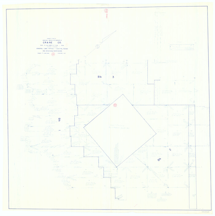
Print $40.00
- Digital $50.00
Crane County Working Sketch 28
1972
Size 49.4 x 49.1 inches
Map/Doc 68305
Kleberg County Aerial Photograph Index Sheet 6

Print $20.00
- Digital $50.00
Kleberg County Aerial Photograph Index Sheet 6
1956
Size 19.3 x 23.5 inches
Map/Doc 83723
Flight Mission No. DAG-24K, Frame 134, Matagorda County

Print $20.00
- Digital $50.00
Flight Mission No. DAG-24K, Frame 134, Matagorda County
1953
Size 17.1 x 15.6 inches
Map/Doc 86552
Crane County Working Sketch 8

Print $20.00
- Digital $50.00
Crane County Working Sketch 8
1929
Size 33.2 x 28.4 inches
Map/Doc 68285
Controlled Mosaic by Jack Amman Photogrammetric Engineers, Inc - Sheet 20

Print $20.00
- Digital $50.00
Controlled Mosaic by Jack Amman Photogrammetric Engineers, Inc - Sheet 20
1954
Size 19.3 x 24.0 inches
Map/Doc 83469
Haskell County Rolled Sketch 14

Print $3.00
- Digital $50.00
Haskell County Rolled Sketch 14
1991
Size 11.1 x 17.1 inches
Map/Doc 6172
Crane County Rolled Sketch 28

Print $40.00
- Digital $50.00
Crane County Rolled Sketch 28
2020
Size 35.7 x 51.2 inches
Map/Doc 96434
Comanche County Rolled Sketch 2

Print $40.00
- Digital $50.00
Comanche County Rolled Sketch 2
1989
Size 36.9 x 48.6 inches
Map/Doc 10299
Foard County Sketch File 15

Print $8.00
- Digital $50.00
Foard County Sketch File 15
1883
Size 13.0 x 8.5 inches
Map/Doc 22821
You may also like
Glasscock County Working Sketch 12

Print $40.00
- Digital $50.00
Glasscock County Working Sketch 12
1971
Size 51.2 x 39.0 inches
Map/Doc 63185
Nueces County Sketch File 77a and 77b

Print $26.00
- Digital $50.00
Nueces County Sketch File 77a and 77b
1986
Size 11.1 x 8.6 inches
Map/Doc 33057
Liberty County Rolled Sketch D

Print $42.00
- Digital $50.00
Liberty County Rolled Sketch D
1942
Size 28.4 x 30.1 inches
Map/Doc 9572
Crockett County Rolled Sketch 46B

Print $20.00
- Digital $50.00
Crockett County Rolled Sketch 46B
1954
Size 24.7 x 13.9 inches
Map/Doc 5594
Erath County Working Sketch 34

Print $20.00
- Digital $50.00
Erath County Working Sketch 34
1972
Size 38.7 x 25.3 inches
Map/Doc 69115
Southern Part of Laguna Madre
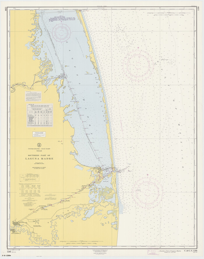
Print $20.00
- Digital $50.00
Southern Part of Laguna Madre
1960
Size 44.1 x 34.6 inches
Map/Doc 73538
Cottle County

Print $20.00
- Digital $50.00
Cottle County
1908
Size 43.9 x 39.0 inches
Map/Doc 66788
Anderson County Sketch File 2

Print $4.00
- Digital $50.00
Anderson County Sketch File 2
1847
Size 12.6 x 8.2 inches
Map/Doc 12739
Harris County Boundary File 39 (18)

Print $4.00
- Digital $50.00
Harris County Boundary File 39 (18)
Size 12.7 x 7.9 inches
Map/Doc 54359
Crosby County Sketch File 23

Print $20.00
- Digital $50.00
Crosby County Sketch File 23
1913
Size 15.0 x 27.2 inches
Map/Doc 11254
Van Zandt County Sketch File 27a

Print $22.00
- Digital $50.00
Van Zandt County Sketch File 27a
1894
Size 17.4 x 14.5 inches
Map/Doc 39449
Bell County Sketch File 9

Print $4.00
- Digital $50.00
Bell County Sketch File 9
Size 10.0 x 8.2 inches
Map/Doc 14379