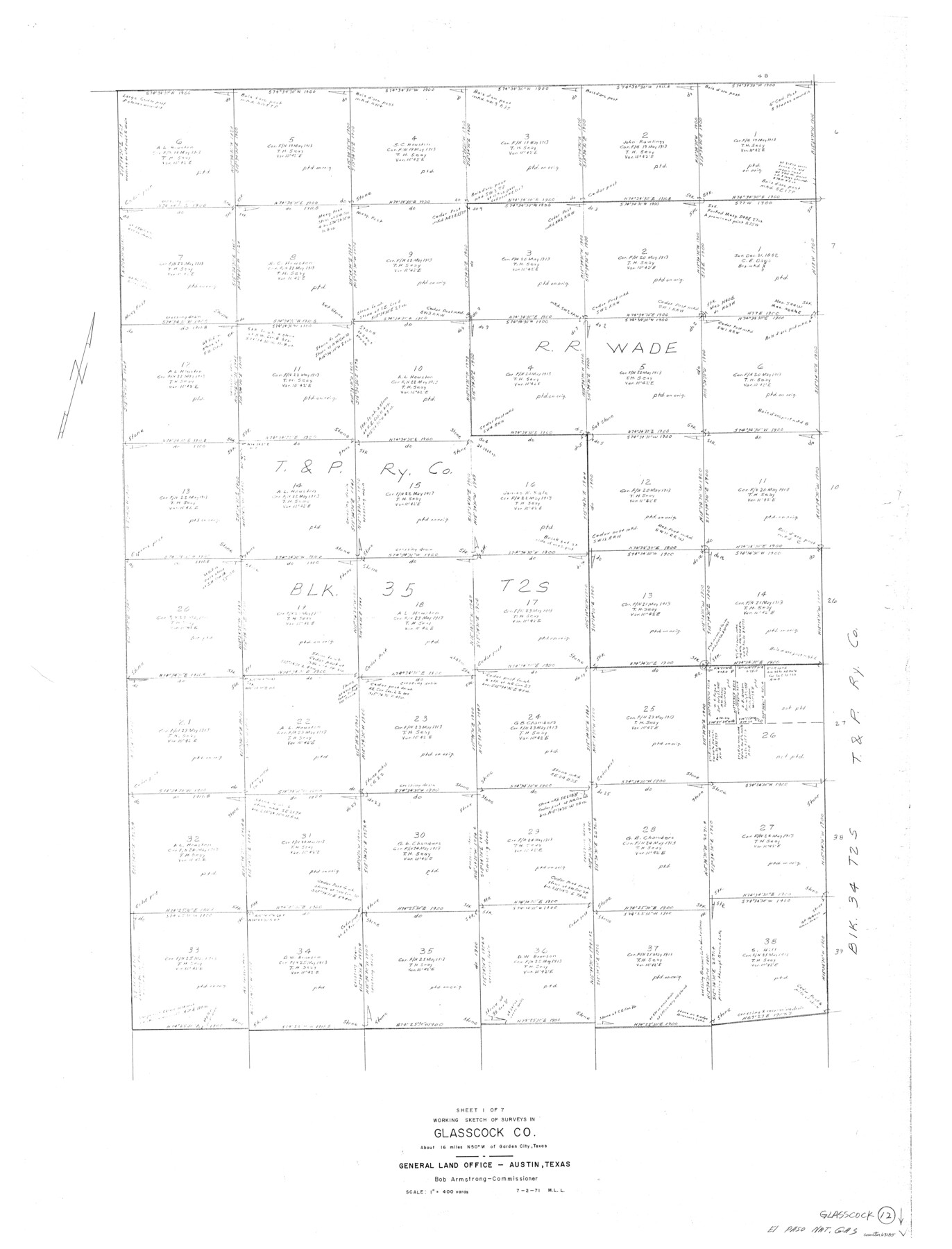
Glasscock County Working Sketch 12
-
Map/Doc
63185
-
Collection
General Map Collection
-
Object Dates
7/2/1971 (Creation Date)
-
People and Organizations
M. L. Liles (Draftsman)
-
Counties
Glasscock
-
Subjects
Surveying Working Sketch
-
Height x Width
51.2 x 39.0 inches
130.1 x 99.1 cm
-
Scale
1" = 400 varas
Part of: General Map Collection
Crockett County Working Sketch 32

Print $20.00
- Digital $50.00
Crockett County Working Sketch 32
1925
Size 20.3 x 41.3 inches
Map/Doc 68365
Flight Mission No. DCL-7C, Frame 55, Kenedy County

Print $20.00
- Digital $50.00
Flight Mission No. DCL-7C, Frame 55, Kenedy County
1943
Size 15.2 x 15.2 inches
Map/Doc 86043
Travis County Sketch File 46

Print $20.00
- Digital $50.00
Travis County Sketch File 46
1939
Size 21.0 x 21.2 inches
Map/Doc 12468
El Paso County Sketch File 3

Print $98.00
- Digital $50.00
El Paso County Sketch File 3
1879
Size 13.0 x 8.3 inches
Map/Doc 21909
Schleicher County Working Sketch 4

Print $20.00
- Digital $50.00
Schleicher County Working Sketch 4
1916
Size 21.0 x 32.6 inches
Map/Doc 63806
Howard County Working Sketch 9b

Print $20.00
- Digital $50.00
Howard County Working Sketch 9b
1962
Size 33.9 x 37.4 inches
Map/Doc 66277
Hunt County Sketch File 14

Print $4.00
- Digital $50.00
Hunt County Sketch File 14
1851
Size 8.5 x 15.2 inches
Map/Doc 27107
Map of San Antonio Showing Original Townsite in Relation to Mission Valero

Map of San Antonio Showing Original Townsite in Relation to Mission Valero
2017
Size 11.0 x 8.5 inches
Map/Doc 94244
Lynn County Boundary File 12

Print $60.00
- Digital $50.00
Lynn County Boundary File 12
Size 14.0 x 17.5 inches
Map/Doc 56749
McMullen County Sketch File 2

Print $22.00
- Digital $50.00
McMullen County Sketch File 2
1849
Size 8.3 x 12.4 inches
Map/Doc 31337
Texas Gulf Coast Map from the Sabine River to the Rio Grande as subdivided for mineral development

Print $40.00
- Digital $50.00
Texas Gulf Coast Map from the Sabine River to the Rio Grande as subdivided for mineral development
1948
Size 44.0 x 69.2 inches
Map/Doc 2908
Flight Mission No. BRA-16M, Frame 163, Jefferson County

Print $20.00
- Digital $50.00
Flight Mission No. BRA-16M, Frame 163, Jefferson County
1953
Size 18.6 x 22.3 inches
Map/Doc 85761
You may also like
Kimble County Working Sketch 90

Print $20.00
- Digital $50.00
Kimble County Working Sketch 90
1979
Size 17.3 x 28.2 inches
Map/Doc 70158
Comal County Working Sketch 10

Print $20.00
- Digital $50.00
Comal County Working Sketch 10
1974
Size 28.8 x 27.9 inches
Map/Doc 68176
Zappe Land Company's Subdivision of Chas. Butler Lands

Print $20.00
- Digital $50.00
Zappe Land Company's Subdivision of Chas. Butler Lands
Size 20.4 x 16.5 inches
Map/Doc 92735
Texas State Boundary Line 2

Print $116.00
- Digital $50.00
Texas State Boundary Line 2
1913
Size 11.2 x 8.8 inches
Map/Doc 73644
Starr County Sketch File 31A

Print $20.00
- Digital $50.00
Starr County Sketch File 31A
1936
Size 24.5 x 13.3 inches
Map/Doc 12335
Kent County Working Sketch 17

Print $20.00
- Digital $50.00
Kent County Working Sketch 17
1973
Size 34.8 x 36.4 inches
Map/Doc 70024
Flight Mission No. BQY-15M, Frame 14, Harris County

Print $20.00
- Digital $50.00
Flight Mission No. BQY-15M, Frame 14, Harris County
1953
Size 18.6 x 22.4 inches
Map/Doc 85312
Fractional Township No. 7 South Range No. 15 East of the Indian Meridian, Indian Territory

Print $20.00
- Digital $50.00
Fractional Township No. 7 South Range No. 15 East of the Indian Meridian, Indian Territory
1896
Size 19.2 x 24.3 inches
Map/Doc 75226
Collin County Boundary File 18c

Print $12.00
- Digital $50.00
Collin County Boundary File 18c
Size 12.9 x 8.1 inches
Map/Doc 51733
Flight Mission No. CLL-3N, Frame 13, Willacy County

Print $20.00
- Digital $50.00
Flight Mission No. CLL-3N, Frame 13, Willacy County
1954
Size 18.4 x 22.1 inches
Map/Doc 87079
Wharton County Sketch File 21

Print $40.00
- Digital $50.00
Wharton County Sketch File 21
1911
Size 14.8 x 13.0 inches
Map/Doc 39986
Flight Mission No. BRA-17M, Frame 11, Jefferson County

Print $20.00
- Digital $50.00
Flight Mission No. BRA-17M, Frame 11, Jefferson County
1953
Size 18.4 x 22.2 inches
Map/Doc 85792