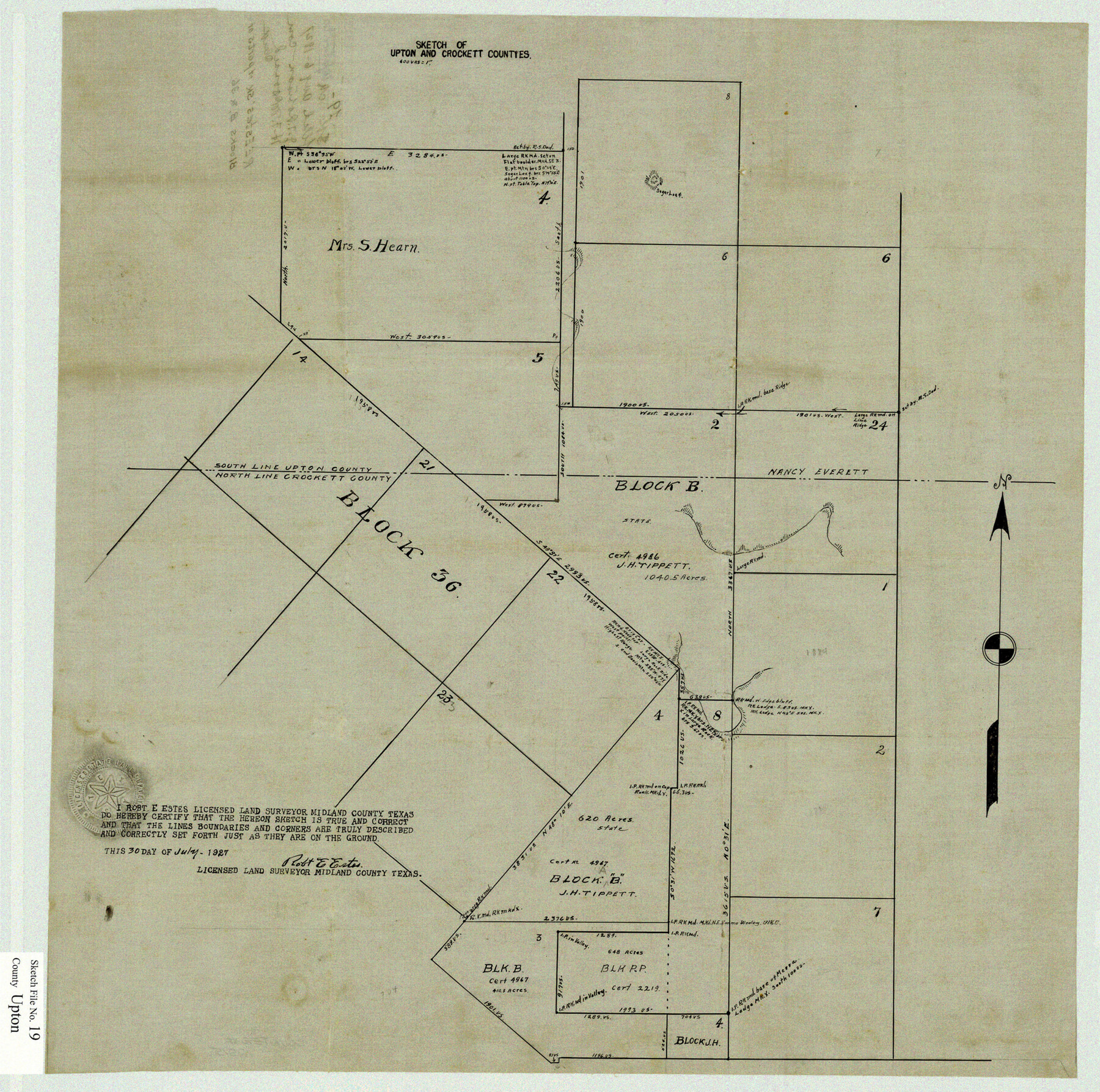
Upton County Sketch File 19
Sketch of Upton and Crockett Counties.
-
Map/Doc
12515
-
Collection
General Map Collection
-
Object Dates
1927/7/30 (Creation Date)
1927/8/6 (File Date)
1927/7/30 (Creation Date)
1927 (Survey Date)
-
People and Organizations
R.E. Estes (Surveyor/Engineer)
Robert E. Estes (Surveyor/Engineer)
-
Counties
Upton
-
Subjects
Surveying Sketch File
-
Height x Width
21.2 x 21.4 inches
53.8 x 54.4 cm
-
Medium
paper, manuscript
-
Features
Sugar Loaf Mountain
Part of: General Map Collection
Menard County Working Sketch 30

Print $20.00
- Digital $50.00
Menard County Working Sketch 30
1974
Size 47.9 x 38.8 inches
Map/Doc 70977
Reeves County Working Sketch 4

Print $20.00
- Digital $50.00
Reeves County Working Sketch 4
1922
Size 32.5 x 33.1 inches
Map/Doc 63446
Val Verde County Working Sketch 117

Print $20.00
- Digital $50.00
Val Verde County Working Sketch 117
1993
Size 13.5 x 36.7 inches
Map/Doc 82847
El Paso County Rolled Sketch Z59

Print $40.00
- Digital $50.00
El Paso County Rolled Sketch Z59
1915
Size 36.5 x 48.1 inches
Map/Doc 8872
Zavala County Rolled Sketch 21

Print $20.00
- Digital $50.00
Zavala County Rolled Sketch 21
Size 27.6 x 38.4 inches
Map/Doc 8324
Flight Mission No. CGI-1N, Frame 179, Cameron County

Print $20.00
- Digital $50.00
Flight Mission No. CGI-1N, Frame 179, Cameron County
1955
Size 18.5 x 22.2 inches
Map/Doc 84514
Shelby County Sketch File 20

Print $20.00
- Digital $50.00
Shelby County Sketch File 20
1879
Size 18.3 x 34.6 inches
Map/Doc 12319
Military Reconnaissance of the Arkansas Rio Del Norte and Rio Gila

Print $40.00
- Digital $50.00
Military Reconnaissance of the Arkansas Rio Del Norte and Rio Gila
1847
Size 33.0 x 72.2 inches
Map/Doc 552
Flight Mission No. CRK-8P, Frame 103, Refugio County

Print $20.00
- Digital $50.00
Flight Mission No. CRK-8P, Frame 103, Refugio County
1956
Size 18.4 x 22.1 inches
Map/Doc 86964
Montgomery County Working Sketch 48

Print $20.00
- Digital $50.00
Montgomery County Working Sketch 48
1958
Size 24.4 x 32.1 inches
Map/Doc 71155
Tyler County Rolled Sketch 5

Print $20.00
- Digital $50.00
Tyler County Rolled Sketch 5
1954
Size 29.3 x 40.0 inches
Map/Doc 8057
Lamb County Sketch File 5

Print $20.00
- Digital $50.00
Lamb County Sketch File 5
Size 23.3 x 31.1 inches
Map/Doc 11971
You may also like
Harris County State Real Property Sketch 2

Print $32.00
- Digital $50.00
Harris County State Real Property Sketch 2
1999
Size 30.2 x 42.4 inches
Map/Doc 61702
Map of Brazoria County

Print $40.00
- Digital $50.00
Map of Brazoria County
1891
Size 56.9 x 58.4 inches
Map/Doc 16945
Nacogdoches County Sketch File 19

Print $12.00
- Digital $50.00
Nacogdoches County Sketch File 19
1846
Size 17.0 x 11.0 inches
Map/Doc 32270
Harrison County State Real Property Sketch 1

Print $20.00
- Digital $50.00
Harrison County State Real Property Sketch 1
1986
Size 24.2 x 25.4 inches
Map/Doc 61666
Port Aransas-Corpus Christi Waterway, Texas, Avery Point Turning Basin to Vicinity of Tule Lake - Dredging

Print $20.00
- Digital $50.00
Port Aransas-Corpus Christi Waterway, Texas, Avery Point Turning Basin to Vicinity of Tule Lake - Dredging
1947
Size 28.5 x 41.4 inches
Map/Doc 60301
Bandera County Rolled Sketch 11

Print $20.00
- Digital $50.00
Bandera County Rolled Sketch 11
Size 30.8 x 41.1 inches
Map/Doc 77503
Bexar County Sketch File 55

Print $20.00
- Digital $50.00
Bexar County Sketch File 55
1838
Size 13.3 x 8.3 inches
Map/Doc 14560
Culberson County Sketch File 25

Print $6.00
- Digital $50.00
Culberson County Sketch File 25
Size 11.2 x 8.8 inches
Map/Doc 20259
Flight Mission No. CUG-2P, Frame 87, Kleberg County

Print $20.00
- Digital $50.00
Flight Mission No. CUG-2P, Frame 87, Kleberg County
1956
Size 18.4 x 22.2 inches
Map/Doc 86219
Hemphill County Sketch File 5

Print $8.00
- Digital $50.00
Hemphill County Sketch File 5
1903
Size 11.2 x 8.8 inches
Map/Doc 26295
[Part of Block K11, Leagues 346, 357 1/2, 367]
![90530, [Part of Block K11, Leagues 346, 357 1/2, 367], Twichell Survey Records](https://historictexasmaps.com/wmedia_w700/maps/90530-1.tif.jpg)
Print $2.00
- Digital $50.00
[Part of Block K11, Leagues 346, 357 1/2, 367]
Size 7.3 x 11.6 inches
Map/Doc 90530
Mileage Map - Best Roads of Texas showing principal cities, pole markings, road distances

Print $20.00
- Digital $50.00
Mileage Map - Best Roads of Texas showing principal cities, pole markings, road distances
1920
Size 12.8 x 16.2 inches
Map/Doc 95898