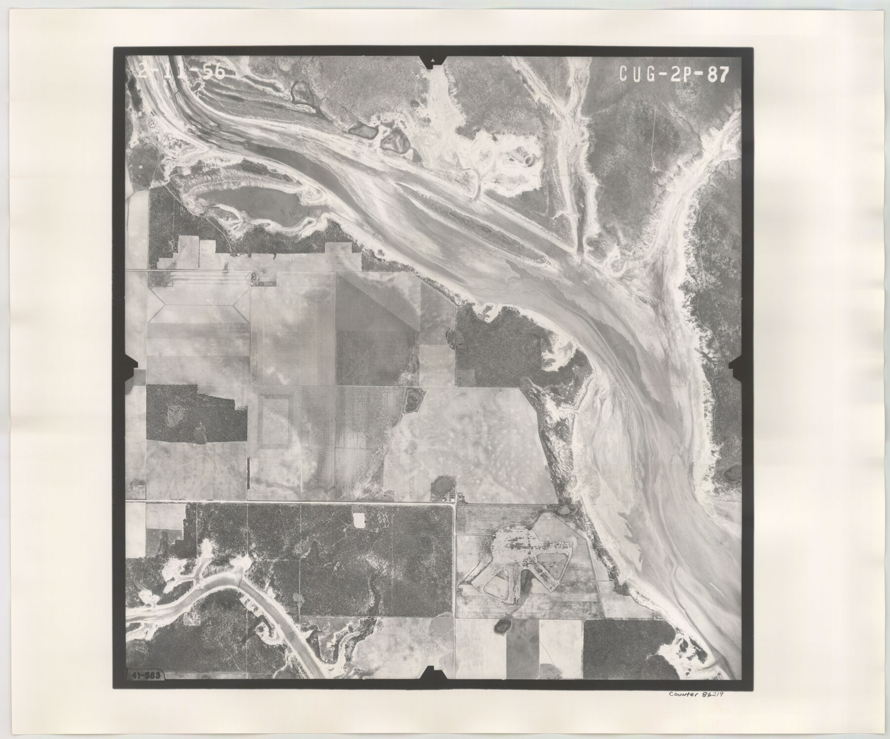
Flight Mission No. CUG-2P, Frame 87, Kleberg County
CUG-2P-87
-
Map/Doc
86219
-
Collection
General Map Collection
-
Object Dates
1956/2/11 (Creation Date)
-
People and Organizations
U. S. Department of Agriculture (Publisher)
-
Counties
Kleberg
-
Subjects
Aerial Photograph
-
Height x Width
18.4 x 22.2 inches
46.7 x 56.4 cm
-
Comments
Flown by V. L. Beavers and Associates of San Antonio, Texas.
Part of: General Map Collection

Haskell County Boundary File 7

Print $40.00
- Digital $50.00
Haskell County Boundary File 7
Size 3.6 x 38.5 inches
Map/Doc 54584
Travis County Sketch File 1

Print $4.00
- Digital $50.00
Travis County Sketch File 1
Size 16.1 x 12.7 inches
Map/Doc 38270
Dimmit County

Print $40.00
- Digital $50.00
Dimmit County
1976
Size 43.2 x 50.7 inches
Map/Doc 73133
Bexar County Boundary File 1

Print $26.00
- Digital $50.00
Bexar County Boundary File 1
Size 14.6 x 9.1 inches
Map/Doc 50505
Map of the Houston and Great Northern R.R. from Trinity River to Palestine

Print $40.00
- Digital $50.00
Map of the Houston and Great Northern R.R. from Trinity River to Palestine
1872
Size 30.3 x 119.9 inches
Map/Doc 64549
Tyler County Sketch File 6a

Print $4.00
- Digital $50.00
Tyler County Sketch File 6a
Size 10.1 x 8.0 inches
Map/Doc 38635

Glasscock County Working Sketch 4

Print $20.00
- Digital $50.00
Glasscock County Working Sketch 4
Size 15.7 x 25.9 inches
Map/Doc 63177
King County Sketch File 9

Print $20.00
- Digital $50.00
King County Sketch File 9
Size 23.5 x 33.0 inches
Map/Doc 11937
Schleicher Co.

Print $20.00
- Digital $50.00
Schleicher Co.
1893
Size 20.8 x 29.3 inches
Map/Doc 63025
Brewster County Working Sketch 10

Print $20.00
- Digital $50.00
Brewster County Working Sketch 10
1910
Size 17.8 x 16.8 inches
Map/Doc 67543
You may also like
Ward County Working Sketch 25

Print $40.00
- Digital $50.00
Ward County Working Sketch 25
1957
Size 74.3 x 25.6 inches
Map/Doc 72331
Grayson County Working Sketch 15

Print $20.00
- Digital $50.00
Grayson County Working Sketch 15
1953
Size 24.8 x 20.6 inches
Map/Doc 63254
Galveston to Rio Grande

Print $20.00
- Digital $50.00
Galveston to Rio Grande
1967
Size 44.4 x 37.0 inches
Map/Doc 69955
Northwest Part Crockett County

Print $20.00
- Digital $50.00
Northwest Part Crockett County
1983
Size 29.9 x 39.1 inches
Map/Doc 77252
San Patricio County Working Sketch 25

Print $20.00
- Digital $50.00
San Patricio County Working Sketch 25
1951
Size 20.3 x 25.4 inches
Map/Doc 63787
Map of Marion County

Print $20.00
- Digital $50.00
Map of Marion County
1901
Size 31.1 x 41.9 inches
Map/Doc 66915
[Sketch of surveys around W.T. Brewer]
![89926, [Sketch of surveys around W.T. Brewer], Twichell Survey Records](https://historictexasmaps.com/wmedia_w700/maps/89926-1.tif.jpg)
Print $40.00
- Digital $50.00
[Sketch of surveys around W.T. Brewer]
Size 37.0 x 48.7 inches
Map/Doc 89926
McMullen County Sketch File 14

Print $4.00
- Digital $50.00
McMullen County Sketch File 14
1876
Size 10.0 x 8.1 inches
Map/Doc 31361
Ector County Sketch File 5

Print $6.00
- Digital $50.00
Ector County Sketch File 5
1939
Size 9.1 x 14.5 inches
Map/Doc 21637
Hardin County Working Sketch 39, part 2

Print $40.00
- Digital $50.00
Hardin County Working Sketch 39, part 2
1985
Size 36.0 x 48.5 inches
Map/Doc 63438
Hutchinson County Rolled Sketch 44-18

Print $20.00
- Digital $50.00
Hutchinson County Rolled Sketch 44-18
2002
Size 24.0 x 36.0 inches
Map/Doc 77554
Amistad International Reservoir on Rio Grande 102

Print $20.00
- Digital $50.00
Amistad International Reservoir on Rio Grande 102
1950
Size 28.5 x 41.2 inches
Map/Doc 75533