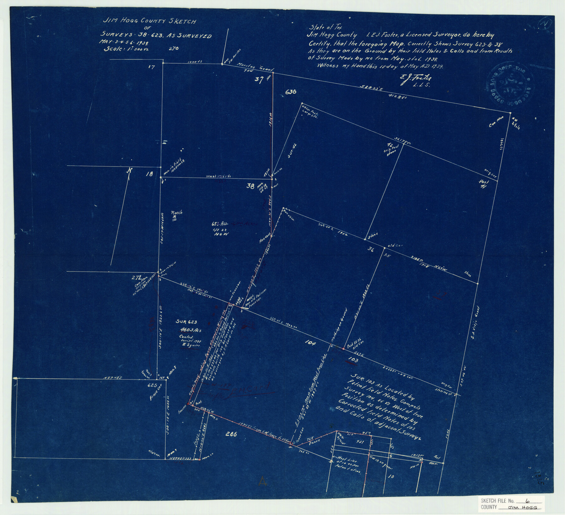
Jim Hogg County Sketch File 6
Jim Hogg County Sketch of Surveys 38 - 623
-
Map/Doc
11886
-
Collection
General Map Collection
-
Object Dates
5/15/1939 (Creation Date)
5/15/1939 (File Date)
5/6/1939 (Survey Date)
-
People and Organizations
E.J. Foster (Surveyor/Engineer)
-
Counties
Jim Hogg
-
Subjects
Surveying Sketch File
-
Height x Width
17.9 x 19.6 inches
45.5 x 49.8 cm
-
Medium
blueprint/diazo
-
Scale
1:500
Part of: General Map Collection
Flight Mission No. DQN-1K, Frame 43, Calhoun County

Print $20.00
- Digital $50.00
Flight Mission No. DQN-1K, Frame 43, Calhoun County
1953
Size 18.6 x 22.3 inches
Map/Doc 84143
Houston County

Print $20.00
- Digital $50.00
Houston County
1868
Size 25.5 x 26.1 inches
Map/Doc 3685
Houston County Sketch File 4

Print $24.00
- Digital $50.00
Houston County Sketch File 4
1859
Size 12.7 x 8.3 inches
Map/Doc 26751
A General Map of the Southern British Colonies, in America. comprehending North and South Carolina, Georgia, East and West Florida, with the Neighbouring Indian Countries

Print $20.00
- Digital $50.00
A General Map of the Southern British Colonies, in America. comprehending North and South Carolina, Georgia, East and West Florida, with the Neighbouring Indian Countries
1776
Size 21.3 x 26.4 inches
Map/Doc 97403
[Surveys in Milam's Colony between the Colorado River and northwest of the San Antonio Road]
![29, [Surveys in Milam's Colony between the Colorado River and northwest of the San Antonio Road], General Map Collection](https://historictexasmaps.com/wmedia_w700/maps/29-1.tif.jpg)
Print $20.00
- Digital $50.00
[Surveys in Milam's Colony between the Colorado River and northwest of the San Antonio Road]
Size 22.0 x 27.4 inches
Map/Doc 29
Eastland County Working Sketch Graphic Index

Print $20.00
- Digital $50.00
Eastland County Working Sketch Graphic Index
1945
Size 41.6 x 42.4 inches
Map/Doc 76529
Presidio County Rolled Sketch 28

Print $20.00
- Digital $50.00
Presidio County Rolled Sketch 28
1886
Size 25.0 x 45.8 inches
Map/Doc 76140
Hockley County Rolled Sketch 3

Print $40.00
- Digital $50.00
Hockley County Rolled Sketch 3
Size 82.9 x 29.4 inches
Map/Doc 9173
Ward County Working Sketch 49

Print $40.00
- Digital $50.00
Ward County Working Sketch 49
1974
Size 54.8 x 37.1 inches
Map/Doc 72355
Tyler County Working Sketch 17

Print $20.00
- Digital $50.00
Tyler County Working Sketch 17
1962
Size 33.1 x 38.9 inches
Map/Doc 69487

Newton County Working Sketch 35

Print $20.00
- Digital $50.00
Newton County Working Sketch 35
1969
Size 37.4 x 32.3 inches
Map/Doc 71281
You may also like
St. Louis Southwestern Railway of Texas

Print $20.00
- Digital $50.00
St. Louis Southwestern Railway of Texas
1906
Size 22.2 x 30.5 inches
Map/Doc 64451
Map of Freestone County

Print $20.00
- Digital $50.00
Map of Freestone County
1874
Size 21.8 x 24.5 inches
Map/Doc 3563
The Land Offices. No. 8, Mina, December 22, 1836

Print $20.00
The Land Offices. No. 8, Mina, December 22, 1836
2020
Size 19.9 x 21.7 inches
Map/Doc 96421
Shelby County Sketch File 31

Print $20.00
- Digital $50.00
Shelby County Sketch File 31
1949
Size 12.0 x 36.0 inches
Map/Doc 12320
[Blocks D, Q, and Z]
![92522, [Blocks D, Q, and Z], Twichell Survey Records](https://historictexasmaps.com/wmedia_w700/maps/92522-1.tif.jpg)
Print $20.00
- Digital $50.00
[Blocks D, Q, and Z]
Size 17.9 x 22.6 inches
Map/Doc 92522
Flight Mission No. DCL-6C, Frame 79, Kenedy County

Print $20.00
- Digital $50.00
Flight Mission No. DCL-6C, Frame 79, Kenedy County
1943
Size 18.6 x 22.4 inches
Map/Doc 85921
Panola County Working Sketch 13

Print $40.00
- Digital $50.00
Panola County Working Sketch 13
1945
Map/Doc 71422
Andrews County Sketch File 20

Print $6.00
- Digital $50.00
Andrews County Sketch File 20
Size 11.2 x 8.7 inches
Map/Doc 12916
Haskell County Working Sketch 6

Print $20.00
- Digital $50.00
Haskell County Working Sketch 6
1949
Size 18.9 x 16.4 inches
Map/Doc 66064
Val Verde Co.

Print $20.00
- Digital $50.00
Val Verde Co.
1908
Size 39.1 x 37.7 inches
Map/Doc 63102
Zapata County Sketch File 1

Print $20.00
- Digital $50.00
Zapata County Sketch File 1
1875
Size 30.5 x 21.4 inches
Map/Doc 12717
Working Sketch Cochran and Yoakum Co's.

Print $40.00
- Digital $50.00
Working Sketch Cochran and Yoakum Co's.
1919
Size 54.5 x 16.4 inches
Map/Doc 89688