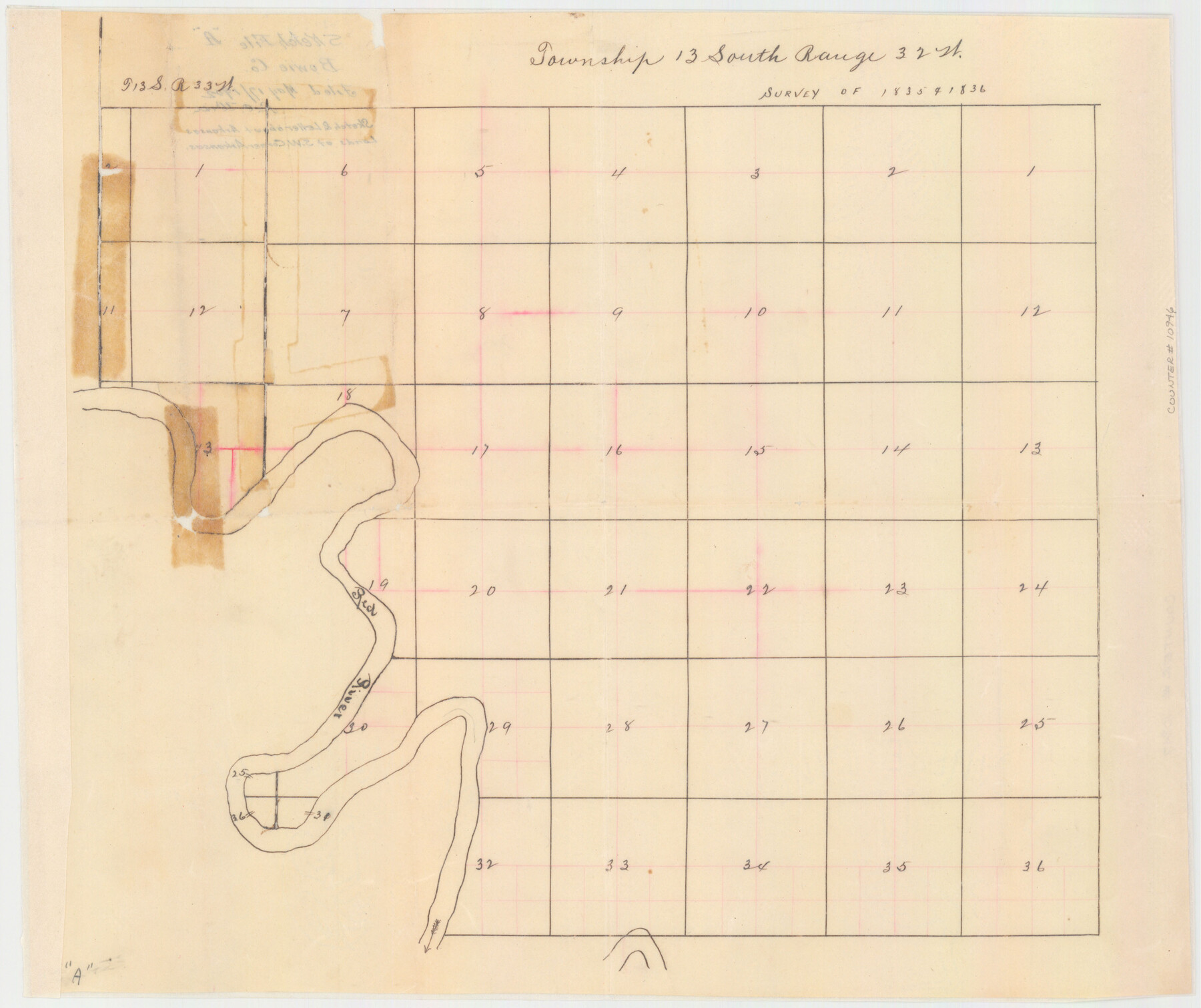
Bowie County Sketch File A
[Sketch and letter about lands at the southwest corner of Arkansas - survey of 1835 & 1836]
-
Map/Doc
10946
-
Collection
General Map Collection
-
Object Dates
1902/5/14 (Creation Date)
1902/5/17 (File Date)
-
Counties
Bowie
-
Subjects
Surveying Sketch File
-
Height x Width
15.6 x 27.3 inches
39.6 x 69.3 cm
-
Medium
paper, manuscript
-
Features
Red River
Part of: General Map Collection
Texas State Boundary Line 6

Print $10.00
- Digital $50.00
Texas State Boundary Line 6
2000
Size 11.3 x 8.8 inches
Map/Doc 75046
Reeves County Rolled Sketch 33

Print $20.00
- Digital $50.00
Reeves County Rolled Sketch 33
Size 24.7 x 36.9 inches
Map/Doc 7501
Briscoe County Sketch File 5

Print $40.00
- Digital $50.00
Briscoe County Sketch File 5
Size 29.8 x 26.5 inches
Map/Doc 10994
Wichita County Sketch File 19

Print $20.00
- Digital $50.00
Wichita County Sketch File 19
Size 21.9 x 22.5 inches
Map/Doc 12681
Wharton County Rolled Sketch 8

Print $20.00
- Digital $50.00
Wharton County Rolled Sketch 8
Size 24.4 x 39.2 inches
Map/Doc 8232
Cameron County Boundary File 3

Print $26.00
- Digital $50.00
Cameron County Boundary File 3
Size 14.4 x 8.4 inches
Map/Doc 51097
Runnels County Sketch File 5

Print $22.00
Runnels County Sketch File 5
Size 12.8 x 16.0 inches
Map/Doc 35436
Aransas County Working Sketch 19

Print $20.00
- Digital $50.00
Aransas County Working Sketch 19
1978
Size 25.1 x 31.1 inches
Map/Doc 67186
Mustang Island

Print $20.00
- Digital $50.00
Mustang Island
1945
Size 42.8 x 42.6 inches
Map/Doc 77469
Brown County Working Sketch 10

Print $20.00
- Digital $50.00
Brown County Working Sketch 10
1982
Size 25.3 x 25.5 inches
Map/Doc 67775
Flight Mission No. BRA-8M, Frame 125, Jefferson County

Print $20.00
- Digital $50.00
Flight Mission No. BRA-8M, Frame 125, Jefferson County
1953
Size 15.9 x 15.7 inches
Map/Doc 85621
Pecos County Rolled Sketch 101

Print $20.00
- Digital $50.00
Pecos County Rolled Sketch 101
1938
Size 22.5 x 39.0 inches
Map/Doc 7249
You may also like
Cooke County Working Sketch 39

Print $20.00
- Digital $50.00
Cooke County Working Sketch 39
2009
Size 30.5 x 36.5 inches
Map/Doc 89042
Castro County Working Sketch 2

Print $20.00
- Digital $50.00
Castro County Working Sketch 2
Size 30.4 x 26.2 inches
Map/Doc 67897
Robertson County Sketch File 7

Print $20.00
Robertson County Sketch File 7
1873
Size 16.3 x 24.0 inches
Map/Doc 12250
Cooke County Sketch File 13

Print $20.00
- Digital $50.00
Cooke County Sketch File 13
1859
Size 27.1 x 19.0 inches
Map/Doc 11171
Map of Galveston, Turtle & East Bays & portions of the Gulf of Mexico in Chambers & Galveston Counties, Texas showing subdivision for mineral development

Print $40.00
- Digital $50.00
Map of Galveston, Turtle & East Bays & portions of the Gulf of Mexico in Chambers & Galveston Counties, Texas showing subdivision for mineral development
1949
Size 48.9 x 54.8 inches
Map/Doc 2977
[Kansas City, Mexico & Orient] Plat Showing Sections 10 & 17, Block 351, GC & SF Ry. Survey, Presidio County, Texas
![64270, [Kansas City, Mexico & Orient] Plat Showing Sections 10 & 17, Block 351, GC & SF Ry. Survey, Presidio County, Texas, General Map Collection](https://historictexasmaps.com/wmedia_w700/maps/64270-1.tif.jpg)
Print $20.00
- Digital $50.00
[Kansas City, Mexico & Orient] Plat Showing Sections 10 & 17, Block 351, GC & SF Ry. Survey, Presidio County, Texas
Size 17.6 x 16.0 inches
Map/Doc 64270
Erath County Working Sketch 4

Print $20.00
- Digital $50.00
Erath County Working Sketch 4
1919
Size 31.7 x 28.6 inches
Map/Doc 69085
2016 Official Travel Map, Texas

2016 Official Travel Map, Texas
Size 33.3 x 36.2 inches
Map/Doc 94297
Refugio County Aerial Photograph Index Sheet 5

Print $20.00
- Digital $50.00
Refugio County Aerial Photograph Index Sheet 5
1957
Size 23.2 x 18.9 inches
Map/Doc 83743
Harrison County Working Sketch 13

Print $20.00
- Digital $50.00
Harrison County Working Sketch 13
1961
Size 32.4 x 37.0 inches
Map/Doc 66033
Kimble County Working Sketch Graphic Index, Sheet 2 (Sketches 47 to Most Recent)

Print $40.00
- Digital $50.00
Kimble County Working Sketch Graphic Index, Sheet 2 (Sketches 47 to Most Recent)
1930
Size 41.1 x 49.0 inches
Map/Doc 76607
General Chart of the Coast No. XXI Gulf Coast from Galveston to the Rio Grande

Print $20.00
- Digital $50.00
General Chart of the Coast No. XXI Gulf Coast from Galveston to the Rio Grande
1883
Size 27.1 x 18.4 inches
Map/Doc 72729