Randall County Rolled Sketch 8
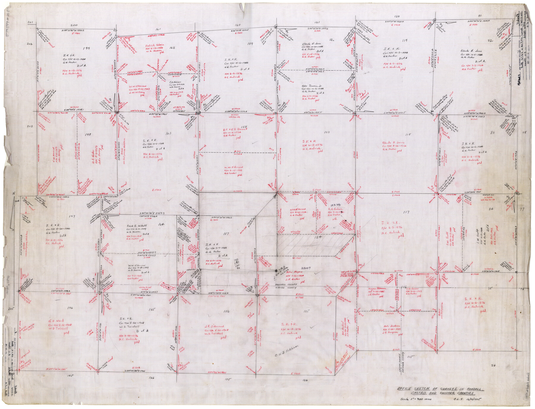
Office sketch of surveys in Randall, Castro, and Swisher Counties [showing surveys in S. K. & K. Block]
-
Map/Doc
10620
-
Collection
General Map Collection
-
Object Dates
12/19/1975 (Creation Date)
1/12/1976 (File Date)
-
People and Organizations
C.L. Slover (Surveyor/Engineer)
-
Counties
Randall Castro Swisher
-
Subjects
Surveying Rolled Sketch
-
Height x Width
33.7 x 43.7 inches
85.6 x 111.0 cm
-
Medium
paper, manuscript
Part of: General Map Collection
Outer Continental Shelf Leasing Maps (Louisiana Offshore Operations)

Print $20.00
- Digital $50.00
Outer Continental Shelf Leasing Maps (Louisiana Offshore Operations)
1959
Size 17.7 x 13.9 inches
Map/Doc 76108
Cass County Rolled Sketch OPD

Print $20.00
- Digital $50.00
Cass County Rolled Sketch OPD
1936
Size 29.6 x 24.9 inches
Map/Doc 5415
Matagorda County Rolled Sketch 19

Print $20.00
- Digital $50.00
Matagorda County Rolled Sketch 19
1918
Size 13.0 x 16.6 inches
Map/Doc 6687
Hardin County Sketch File 3

Print $4.00
- Digital $50.00
Hardin County Sketch File 3
Size 7.7 x 4.6 inches
Map/Doc 25086
Somervell County Working Sketch 4

Print $20.00
- Digital $50.00
Somervell County Working Sketch 4
1975
Size 38.3 x 29.7 inches
Map/Doc 63908
Navarro County Sketch File 18

Print $3.00
- Digital $50.00
Navarro County Sketch File 18
1871
Size 10.6 x 10.0 inches
Map/Doc 32335
Bailey County Working Sketch 5

Print $20.00
- Digital $50.00
Bailey County Working Sketch 5
1945
Size 24.3 x 18.1 inches
Map/Doc 67592
Winkler County Working Sketch 19

Print $20.00
- Digital $50.00
Winkler County Working Sketch 19
1990
Size 29.4 x 25.7 inches
Map/Doc 72613
Eastland County

Print $20.00
- Digital $50.00
Eastland County
1879
Size 21.3 x 21.3 inches
Map/Doc 3499
Flight Mission No. CGI-3N, Frame 128, Cameron County

Print $20.00
- Digital $50.00
Flight Mission No. CGI-3N, Frame 128, Cameron County
1954
Size 18.5 x 22.2 inches
Map/Doc 84601
West Part of Edwards County

Print $40.00
- Digital $50.00
West Part of Edwards County
1975
Size 59.9 x 39.7 inches
Map/Doc 95489
Scurry County Rolled Sketch 2

Print $20.00
- Digital $50.00
Scurry County Rolled Sketch 2
Size 44.0 x 44.9 inches
Map/Doc 9911
You may also like
[Right of Way Map, Belton Branch of the M.K.&T. RR.]
![64224, [Right of Way Map, Belton Branch of the M.K.&T. RR.], General Map Collection](https://historictexasmaps.com/wmedia_w700/maps/64224.tif.jpg)
Print $20.00
- Digital $50.00
[Right of Way Map, Belton Branch of the M.K.&T. RR.]
1896
Size 7.1 x 20.6 inches
Map/Doc 64224
Nouvelle Carte du Mexique du Texas et d'une partie des états limitrophes

Print $20.00
- Digital $50.00
Nouvelle Carte du Mexique du Texas et d'une partie des états limitrophes
1834
Size 39.9 x 27.4 inches
Map/Doc 94098
Flight Mission No. DQN-2K, Frame 94, Calhoun County

Print $20.00
- Digital $50.00
Flight Mission No. DQN-2K, Frame 94, Calhoun County
1953
Size 16.6 x 16.2 inches
Map/Doc 84284
Rusk County Rolled Sketch 4

Print $20.00
- Digital $50.00
Rusk County Rolled Sketch 4
1895
Size 47.8 x 33.9 inches
Map/Doc 9874
Roberts County Working Sketch 42

Print $20.00
- Digital $50.00
Roberts County Working Sketch 42
1978
Size 26.7 x 22.7 inches
Map/Doc 63568
Flight Mission No. CGI-3N, Frame 130, Cameron County

Print $20.00
- Digital $50.00
Flight Mission No. CGI-3N, Frame 130, Cameron County
1954
Size 18.5 x 22.2 inches
Map/Doc 84603
San Saba County Working Sketch 8

Print $20.00
- Digital $50.00
San Saba County Working Sketch 8
1979
Size 13.3 x 17.2 inches
Map/Doc 63796
El Paso County Working Sketch 4

Print $20.00
- Digital $50.00
El Paso County Working Sketch 4
1916
Size 21.4 x 37.3 inches
Map/Doc 69026
Gillespie County Rolled Sketch O

Print $20.00
- Digital $50.00
Gillespie County Rolled Sketch O
1846
Size 42.6 x 20.0 inches
Map/Doc 6007
Culberson County Rolled Sketch 23

Print $20.00
- Digital $50.00
Culberson County Rolled Sketch 23
1888
Size 24.1 x 35.2 inches
Map/Doc 5655
Cooke County Sketch File 38 1/2

Print $20.00
- Digital $50.00
Cooke County Sketch File 38 1/2
Size 21.5 x 16.6 inches
Map/Doc 11175
Head of Cowhouse Cr.

Print $2.00
- Digital $50.00
Head of Cowhouse Cr.
1846
Size 6.4 x 13.7 inches
Map/Doc 271