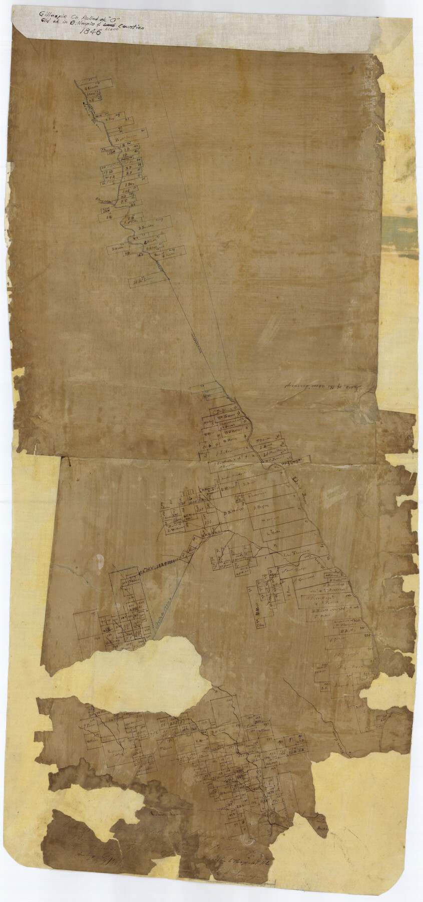
Gillespie County Rolled Sketch O
[Old sketch in Gillespie & Llano Counties]
-
Map/Doc
6007
-
Collection
General Map Collection
-
Object Dates
1846 (Creation Date)
-
Counties
Gillespie Mason Llano
-
Subjects
Surveying Rolled Sketch
-
Height x Width
42.6 x 20.0 inches
108.2 x 50.8 cm
-
Medium
paper, manuscript
Part of: General Map Collection
Intracoastal Waterway in Texas - Corpus Christi to Point Isabel including Arroyo Colorado to Mo. Pac. R.R. Bridge Near Harlingen

Print $20.00
- Digital $50.00
Intracoastal Waterway in Texas - Corpus Christi to Point Isabel including Arroyo Colorado to Mo. Pac. R.R. Bridge Near Harlingen
1933
Size 28.0 x 41.0 inches
Map/Doc 61875
Robertson County Working Sketch 2

Print $20.00
- Digital $50.00
Robertson County Working Sketch 2
1939
Size 14.5 x 16.3 inches
Map/Doc 63575
Flight Mission No. DAG-24K, Frame 147, Matagorda County

Print $20.00
- Digital $50.00
Flight Mission No. DAG-24K, Frame 147, Matagorda County
1953
Size 17.1 x 15.7 inches
Map/Doc 86561
Kimble County Working Sketch 68

Print $20.00
- Digital $50.00
Kimble County Working Sketch 68
1965
Size 23.1 x 31.5 inches
Map/Doc 70136
Flight Mission No. DAG-21K, Frame 128, Matagorda County

Print $20.00
- Digital $50.00
Flight Mission No. DAG-21K, Frame 128, Matagorda County
1952
Size 18.4 x 22.3 inches
Map/Doc 86454
Flight Mission No. DAG-18K, Frame 181, Matagorda County

Print $20.00
- Digital $50.00
Flight Mission No. DAG-18K, Frame 181, Matagorda County
1952
Size 15.9 x 15.9 inches
Map/Doc 86373
Schleicher County Rolled Sketch 23

Print $20.00
- Digital $50.00
Schleicher County Rolled Sketch 23
1961
Size 30.7 x 22.9 inches
Map/Doc 7762
Borden County Sketch File 8

Print $2.00
- Digital $50.00
Borden County Sketch File 8
1934
Size 11.5 x 7.3 inches
Map/Doc 14727
Bandera County Rolled Sketch 10

Print $20.00
- Digital $50.00
Bandera County Rolled Sketch 10
1998
Size 35.4 x 38.1 inches
Map/Doc 8440
Wood County Rolled Sketch 8

Print $20.00
- Digital $50.00
Wood County Rolled Sketch 8
1965
Size 22.6 x 34.8 inches
Map/Doc 8286
Parker County Sketch File 3a

Print $40.00
- Digital $50.00
Parker County Sketch File 3a
Size 12.7 x 12.8 inches
Map/Doc 33523
[Surveys in Cherokee County]
![251, [Surveys in Cherokee County], General Map Collection](https://historictexasmaps.com/wmedia_w700/maps/251.tif.jpg)
Print $2.00
- Digital $50.00
[Surveys in Cherokee County]
Size 8.0 x 5.6 inches
Map/Doc 251
You may also like
Liberty County Sketch File 55

Print $22.00
- Digital $50.00
Liberty County Sketch File 55
Size 14.3 x 8.8 inches
Map/Doc 30049
Texas State Boundary Line 2

Print $116.00
- Digital $50.00
Texas State Boundary Line 2
1913
Size 11.2 x 8.8 inches
Map/Doc 73644
Shelby County Working Sketch 26

Print $20.00
- Digital $50.00
Shelby County Working Sketch 26
1990
Size 11.3 x 12.2 inches
Map/Doc 63880
Webb County Working Sketch Graphic Index - northwest part

Print $40.00
- Digital $50.00
Webb County Working Sketch Graphic Index - northwest part
1984
Size 42.1 x 51.6 inches
Map/Doc 76736
Red River County Working Sketch 18

Print $20.00
- Digital $50.00
Red River County Working Sketch 18
1955
Size 31.1 x 34.3 inches
Map/Doc 72001
[Part of Block K11, Leagues 346, 357 1/2, 367]
![90530, [Part of Block K11, Leagues 346, 357 1/2, 367], Twichell Survey Records](https://historictexasmaps.com/wmedia_w700/maps/90530-1.tif.jpg)
Print $2.00
- Digital $50.00
[Part of Block K11, Leagues 346, 357 1/2, 367]
Size 7.3 x 11.6 inches
Map/Doc 90530
Topographic Map of Texas and Oklahoma Boundary, Fort Augur Area

Print $20.00
Topographic Map of Texas and Oklahoma Boundary, Fort Augur Area
1924
Size 17.2 x 33.7 inches
Map/Doc 79754
[Surveys on the Trinity River]
![342, [Surveys on the Trinity River], General Map Collection](https://historictexasmaps.com/wmedia_w700/maps/342.tif.jpg)
Print $2.00
- Digital $50.00
[Surveys on the Trinity River]
Size 6.6 x 4.6 inches
Map/Doc 342
Oldham County

Print $40.00
- Digital $50.00
Oldham County
1925
Size 42.6 x 51.5 inches
Map/Doc 77387
Presidio County Sketch File 60b

Print $4.00
- Digital $50.00
Presidio County Sketch File 60b
1936
Size 14.4 x 8.8 inches
Map/Doc 34645
Flight Mission No. DAG-23K, Frame 179, Matagorda County

Print $20.00
- Digital $50.00
Flight Mission No. DAG-23K, Frame 179, Matagorda County
1953
Size 18.5 x 22.4 inches
Map/Doc 86514
Geological Map of the route explored by Capt. Jno. Pope, Corps of Topl. Engrs. near the 32nd Parallel of North Latitude From the Red River to the Rio Grande

Print $20.00
- Digital $50.00
Geological Map of the route explored by Capt. Jno. Pope, Corps of Topl. Engrs. near the 32nd Parallel of North Latitude From the Red River to the Rio Grande
Size 11.5 x 24.7 inches
Map/Doc 95149