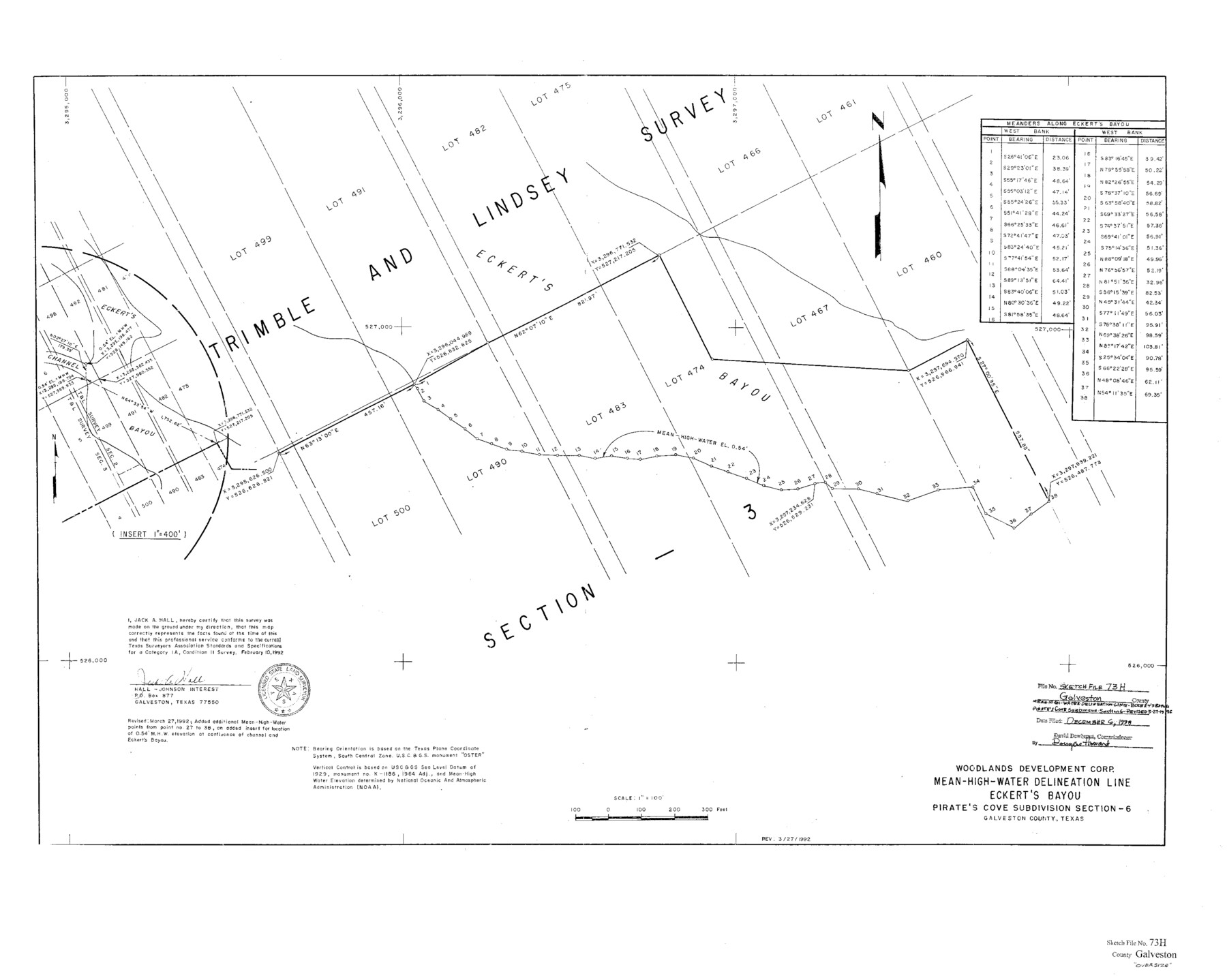
Galveston County Sketch File 73h
Mean-High-Water Delineation Line Eckert's Bayou Pirates Cove Subdivsion Section 6
-
Map/Doc
10461
-
Collection
General Map Collection
-
People and Organizations
Jack A. Hall (Surveyor/Engineer)
Woodlands Development Corp. (Compiler)
-
Counties
Galveston
-
Subjects
Surveying Sketch File
-
Height x Width
29.4 x 36.8 inches
74.7 x 93.5 cm
-
Medium
paper, print
-
Scale
1:400; 1:100
-
Features
Eckert's Bayou
Eckert's Channel
Part of: General Map Collection
Henderson County Working Sketch 4

Print $20.00
- Digital $50.00
Henderson County Working Sketch 4
1918
Size 21.2 x 16.0 inches
Map/Doc 66137
PSL Field Notes for Blocks 77, B2, B3, and A56 in Winkler County

PSL Field Notes for Blocks 77, B2, B3, and A56 in Winkler County
Map/Doc 81679
Harris County Working Sketch 32

Print $20.00
- Digital $50.00
Harris County Working Sketch 32
1936
Size 34.7 x 41.8 inches
Map/Doc 65924
Scurry County

Print $20.00
- Digital $50.00
Scurry County
1921
Size 42.4 x 39.1 inches
Map/Doc 95637
Kerr County Sketch File 20

Print $22.00
- Digital $50.00
Kerr County Sketch File 20
1951
Size 12.9 x 18.3 inches
Map/Doc 28890
Flight Mission No. DAG-21K, Frame 98, Matagorda County

Print $20.00
- Digital $50.00
Flight Mission No. DAG-21K, Frame 98, Matagorda County
1952
Size 18.5 x 22.3 inches
Map/Doc 86427
Jackson County Sketch File 21a

Print $20.00
- Digital $50.00
Jackson County Sketch File 21a
1937
Size 25.7 x 35.4 inches
Map/Doc 11843
Cass County Working Sketch 15

Print $20.00
- Digital $50.00
Cass County Working Sketch 15
1957
Size 29.7 x 19.0 inches
Map/Doc 67918
Map of the Passo Cavallo on the entrance into Matagorda Bay from the Gulf of Mexico

Print $20.00
- Digital $50.00
Map of the Passo Cavallo on the entrance into Matagorda Bay from the Gulf of Mexico
1839
Size 18.4 x 26.9 inches
Map/Doc 72764
Hardin County Rolled Sketch 7

Print $20.00
- Digital $50.00
Hardin County Rolled Sketch 7
1947
Size 33.4 x 42.4 inches
Map/Doc 6080
In the Supreme Court of the United States, The State of Oklahoma, Complainant vs. The State of Texas, Defendant, The United States of America, Intervener, Red River Valley, Texas and Oklahoma Between the 98th and 100th Meridians in Five Sheets, 1921

Print $40.00
- Digital $50.00
In the Supreme Court of the United States, The State of Oklahoma, Complainant vs. The State of Texas, Defendant, The United States of America, Intervener, Red River Valley, Texas and Oklahoma Between the 98th and 100th Meridians in Five Sheets, 1921
1921
Size 38.4 x 60.0 inches
Map/Doc 75275
Map of the County of Calhoun

Print $20.00
- Digital $50.00
Map of the County of Calhoun
1852
Size 21.0 x 20.4 inches
Map/Doc 4431
You may also like
National Map Company's Map of Texas showing counties, cities, towns, villages and post offices, steam and electric railways with stations and distance between stations

Print $40.00
- Digital $50.00
National Map Company's Map of Texas showing counties, cities, towns, villages and post offices, steam and electric railways with stations and distance between stations
1920
Size 49.1 x 50.3 inches
Map/Doc 10750
Andrews County Rolled Sketch 31

Print $20.00
- Digital $50.00
Andrews County Rolled Sketch 31
Size 18.3 x 19.9 inches
Map/Doc 77175
Dawson County Sketch File 21

Print $20.00
- Digital $50.00
Dawson County Sketch File 21
1953
Size 12.2 x 24.5 inches
Map/Doc 11297

Parker County Sketch File 17

Print $6.00
- Digital $50.00
Parker County Sketch File 17
Size 10.7 x 9.5 inches
Map/Doc 33552
Knox County Boundary File 6

Print $4.00
- Digital $50.00
Knox County Boundary File 6
Size 11.4 x 8.7 inches
Map/Doc 65049
Sec. 22, Block 103

Print $2.00
- Digital $50.00
Sec. 22, Block 103
Size 8.4 x 9.5 inches
Map/Doc 90431
Hutchinson County Working Sketch 40

Print $20.00
- Digital $50.00
Hutchinson County Working Sketch 40
1978
Size 27.0 x 22.4 inches
Map/Doc 66400
Lampasas County Sketch File 5

Print $8.00
- Digital $50.00
Lampasas County Sketch File 5
1869
Size 12.8 x 7.9 inches
Map/Doc 29396
Galveston County Working Sketch 5

Print $20.00
- Digital $50.00
Galveston County Working Sketch 5
1934
Size 41.2 x 41.0 inches
Map/Doc 69342
Trinity River, Clapps Ferry Sheet

Print $20.00
- Digital $50.00
Trinity River, Clapps Ferry Sheet
1925
Size 47.5 x 36.4 inches
Map/Doc 65180
