Morris County Rolled Sketch 2A
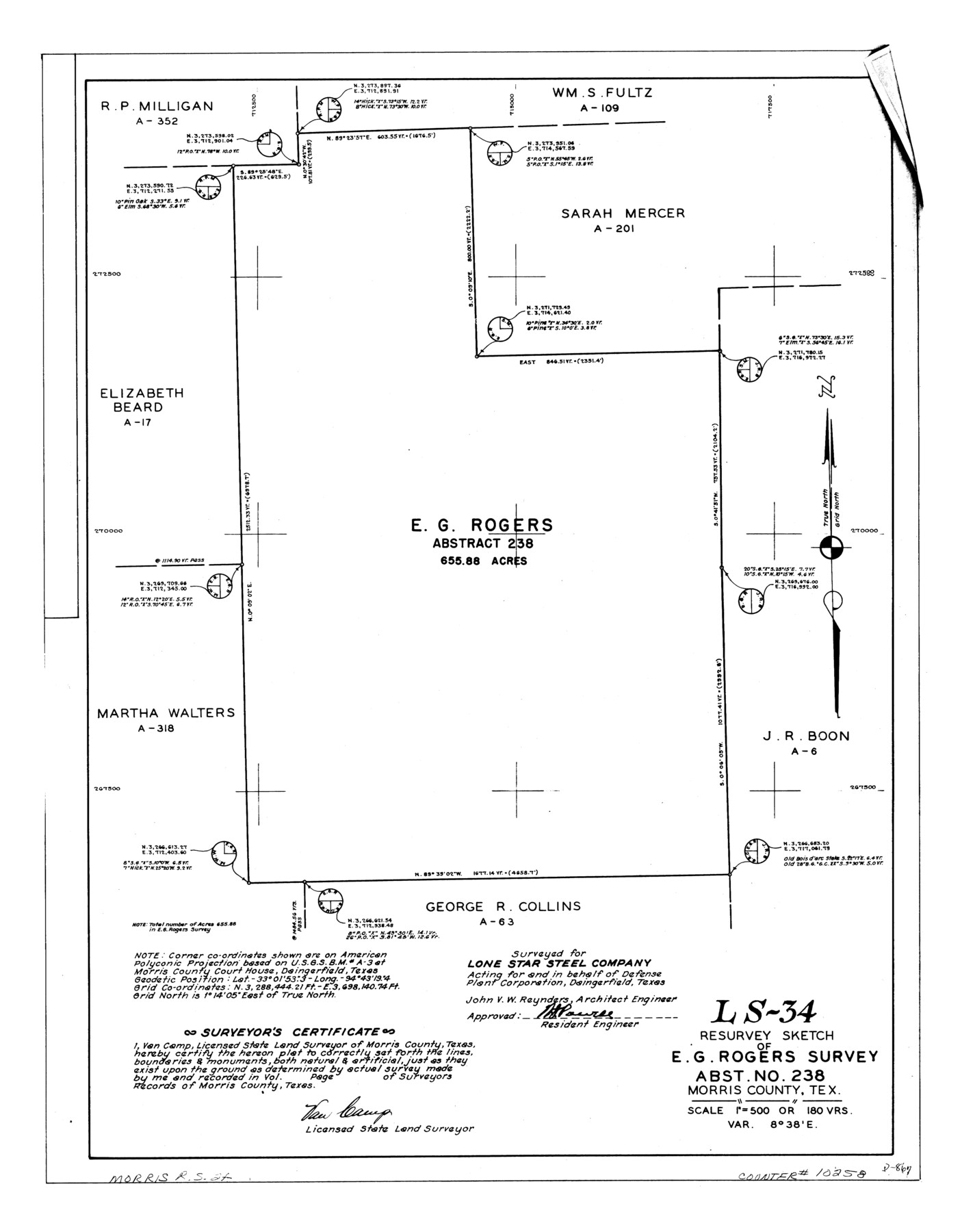
LS-34 - Resurvey sketch of E.G. Rogers survey, abst. no. 238, Morris County, Tex.
-
Map/Doc
10258
-
Collection
General Map Collection
-
People and Organizations
Van Camp (Surveyor/Engineer)
-
Counties
Morris
-
Subjects
Surveying Rolled Sketch
-
Height x Width
24.0 x 18.7 inches
61.0 x 47.5 cm
-
Medium
linen, manuscript
-
Scale
1" = 180 varas
-
Comments
See Morris County Rolled Sketch 2 (9550) for map of all retracement surveys made for Lone Star Steel Company.
Related maps
Morris County Rolled Sketch 2

Print $40.00
- Digital $50.00
Morris County Rolled Sketch 2
1944
Size 59.4 x 43.5 inches
Map/Doc 9550
Part of: General Map Collection
Duval County Boundary File 1e

Print $40.00
- Digital $50.00
Duval County Boundary File 1e
Size 6.1 x 23.1 inches
Map/Doc 52701
Kimble County Rolled Sketch 17

Print $20.00
- Digital $50.00
Kimble County Rolled Sketch 17
Size 19.7 x 20.5 inches
Map/Doc 6509
Hopkins County Sketch File 2a

Print $4.00
- Digital $50.00
Hopkins County Sketch File 2a
Size 13.6 x 8.6 inches
Map/Doc 26683
Brewster County Rolled Sketch 114

Print $20.00
- Digital $50.00
Brewster County Rolled Sketch 114
1964
Size 11.6 x 18.5 inches
Map/Doc 5275
Leon County Rolled Sketch 28

Print $20.00
- Digital $50.00
Leon County Rolled Sketch 28
1993
Size 35.8 x 46.6 inches
Map/Doc 9438
Tom Green County

Print $40.00
- Digital $50.00
Tom Green County
Size 43.6 x 111.2 inches
Map/Doc 82058
Texas Official Travel Map

Digital $50.00
Texas Official Travel Map
Size 33.6 x 36.5 inches
Map/Doc 94301
Crane County Sketch File 23

Print $20.00
- Digital $50.00
Crane County Sketch File 23
1931
Size 21.3 x 39.1 inches
Map/Doc 11211
Smith County Working Sketch 13

Print $20.00
- Digital $50.00
Smith County Working Sketch 13
1962
Size 36.8 x 27.4 inches
Map/Doc 63898
Presidio County Rolled Sketch 105B

Print $20.00
- Digital $50.00
Presidio County Rolled Sketch 105B
Size 46.5 x 36.5 inches
Map/Doc 9789
[Surveys in the Milam District on Bosque River and Spring Creek]
![3170, [Surveys in the Milam District on Bosque River and Spring Creek], General Map Collection](https://historictexasmaps.com/wmedia_w700/maps/3170.tif.jpg)
Print $20.00
- Digital $50.00
[Surveys in the Milam District on Bosque River and Spring Creek]
1846
Size 13.3 x 14.7 inches
Map/Doc 3170
San Saba County Working Sketch 6

Print $20.00
- Digital $50.00
San Saba County Working Sketch 6
1959
Size 17.5 x 23.4 inches
Map/Doc 63794
You may also like
Matagorda County Rolled Sketch 32

Print $20.00
- Digital $50.00
Matagorda County Rolled Sketch 32
Size 29.7 x 34.9 inches
Map/Doc 6694
[Sketch showing H. & T. C. R. R. Co. Blk. 48, S. P. R. R. Co. Blk. I, and E. T. R. R. Co. Blk. I]
![89647, [Sketch showing H. & T. C. R. R. Co. Blk. 48, S. P. R. R. Co. Blk. I, and E. T. R. R. Co. Blk. I], Twichell Survey Records](https://historictexasmaps.com/wmedia_w700/maps/89647-1.tif.jpg)
Print $40.00
- Digital $50.00
[Sketch showing H. & T. C. R. R. Co. Blk. 48, S. P. R. R. Co. Blk. I, and E. T. R. R. Co. Blk. I]
Size 51.4 x 9.2 inches
Map/Doc 89647
Howard County

Print $20.00
- Digital $50.00
Howard County
1922
Size 41.3 x 35.2 inches
Map/Doc 73185
Map of the Lands Surveyed by the Memphis, El Paso & Pacific R.R. Company

Print $20.00
- Digital $50.00
Map of the Lands Surveyed by the Memphis, El Paso & Pacific R.R. Company
1859
Size 15.0 x 30.0 inches
Map/Doc 2219
[Township 4 North, Block 33]
![91216, [Township 4 North, Block 33], Twichell Survey Records](https://historictexasmaps.com/wmedia_w700/maps/91216-1.tif.jpg)
Print $3.00
- Digital $50.00
[Township 4 North, Block 33]
Size 11.3 x 12.0 inches
Map/Doc 91216
General Highway Map. Detail of Cities and Towns in Harris County, Texas. City Map [of] Houston, Pasadena, West University Place, Bellaire, Galena Park, Jacinto City, South Houston, South Side Place, Deer Park, and vicinity, Harris County, Texas
![79506, General Highway Map. Detail of Cities and Towns in Harris County, Texas. City Map [of] Houston, Pasadena, West University Place, Bellaire, Galena Park, Jacinto City, South Houston, South Side Place, Deer Park, and vicinity, Harris County, Texas, Texas State Library and Archives](https://historictexasmaps.com/wmedia_w700/maps/79506.tif.jpg)
Print $20.00
General Highway Map. Detail of Cities and Towns in Harris County, Texas. City Map [of] Houston, Pasadena, West University Place, Bellaire, Galena Park, Jacinto City, South Houston, South Side Place, Deer Park, and vicinity, Harris County, Texas
1961
Size 18.0 x 24.9 inches
Map/Doc 79506
Dickens County Sketch File 17

Print $6.00
- Digital $50.00
Dickens County Sketch File 17
1909
Size 12.2 x 11.8 inches
Map/Doc 20977
Flight Mission No. CUG-3P, Frame 191, Kleberg County

Print $20.00
- Digital $50.00
Flight Mission No. CUG-3P, Frame 191, Kleberg County
1956
Size 18.5 x 22.3 inches
Map/Doc 86295
Flight Mission No. CGI-2N, Frame 185, Cameron County

Print $20.00
- Digital $50.00
Flight Mission No. CGI-2N, Frame 185, Cameron County
1954
Size 18.5 x 22.2 inches
Map/Doc 84545
Plat of surveys in El Paso Co. made for Maddox Bro's & Anderson and Gunter & Munson

Print $20.00
- Digital $50.00
Plat of surveys in El Paso Co. made for Maddox Bro's & Anderson and Gunter & Munson
Size 22.2 x 23.4 inches
Map/Doc 713
Crockett County Working Sketch 14

Print $3.00
- Digital $50.00
Crockett County Working Sketch 14
1916
Size 12.1 x 9.1 inches
Map/Doc 68347
Map of the United States, Canada and a part of Mexico to illustrate Olney's school geography

Print $20.00
- Digital $50.00
Map of the United States, Canada and a part of Mexico to illustrate Olney's school geography
1844
Size 12.1 x 19.0 inches
Map/Doc 93537