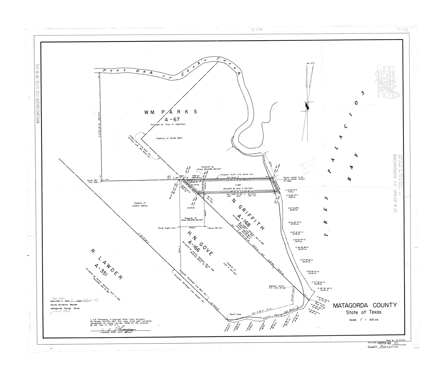
Matagorda County Rolled Sketch 32
[Wm. Parks sur., SF-15932 and SF-15933, Matagorda County, Texas]
-
Map/Doc
6694
-
Collection
General Map Collection
-
Object Dates
1957/7/6 (File Date)
-
People and Organizations
C.A. Thompson (Surveyor/Engineer)
-
Counties
Matagorda
-
Subjects
Surveying Rolled Sketch
-
Height x Width
29.7 x 34.9 inches
75.4 x 88.6 cm
-
Scale
1" = 100 varas
Part of: General Map Collection

Harris County Working Sketch 126

Print $20.00
- Digital $50.00
Harris County Working Sketch 126
1995
Size 14.5 x 30.0 inches
Map/Doc 66018
Terry County Sketch File 2

Print $8.00
- Digital $50.00
Terry County Sketch File 2
Size 8.9 x 11.4 inches
Map/Doc 38012
Ward County Working Sketch 42

Print $20.00
- Digital $50.00
Ward County Working Sketch 42
1970
Size 42.2 x 41.3 inches
Map/Doc 72348

Current Miscellaneous File 118

Print $214.00
- Digital $50.00
Current Miscellaneous File 118
Map/Doc 87238
El Paso County Boundary File 3

Print $6.00
- Digital $50.00
El Paso County Boundary File 3
Size 9.7 x 6.1 inches
Map/Doc 53035
Lynn County Sketch File 1

Print $8.00
- Digital $50.00
Lynn County Sketch File 1
1892
Size 14.0 x 8.8 inches
Map/Doc 30443
Webb County Working Sketch 64

Print $20.00
- Digital $50.00
Webb County Working Sketch 64
1962
Size 12.8 x 26.1 inches
Map/Doc 72430
Flight Mission No. DQO-7K, Frame 99, Galveston County

Print $20.00
- Digital $50.00
Flight Mission No. DQO-7K, Frame 99, Galveston County
1952
Size 18.7 x 22.5 inches
Map/Doc 85114
Flight Mission No. CRE-1R, Frame 124, Jackson County

Print $20.00
- Digital $50.00
Flight Mission No. CRE-1R, Frame 124, Jackson County
1956
Size 16.1 x 15.9 inches
Map/Doc 85335
Freestone County Sketch File 24

Print $20.00
- Digital $50.00
Freestone County Sketch File 24
1951
Size 23.1 x 17.9 inches
Map/Doc 11517
You may also like
The south west and N.E. lines of Mary Thomas and A. Morrallis surveys

Print $2.00
- Digital $50.00
The south west and N.E. lines of Mary Thomas and A. Morrallis surveys
1847
Size 9.4 x 8.1 inches
Map/Doc 336
Coke County Sketch File 16

Print $20.00
- Digital $50.00
Coke County Sketch File 16
1902
Size 18.7 x 16.2 inches
Map/Doc 11108
Jeff Davis County Sketch File 34

Print $16.00
- Digital $50.00
Jeff Davis County Sketch File 34
1915
Size 8.5 x 5.4 inches
Map/Doc 28040
Hudspeth County Working Sketch 30

Print $40.00
- Digital $50.00
Hudspeth County Working Sketch 30
Size 80.4 x 36.0 inches
Map/Doc 66313
Map of Cherokee County

Print $40.00
- Digital $50.00
Map of Cherokee County
1933
Size 59.9 x 41.5 inches
Map/Doc 1799
Cooke County Working Sketch 1

Print $20.00
- Digital $50.00
Cooke County Working Sketch 1
Size 16.5 x 28.3 inches
Map/Doc 68238

Presidio County Sketch File 52

Print $10.00
- Digital $50.00
Presidio County Sketch File 52
1921
Size 11.5 x 8.8 inches
Map/Doc 34605
Andrews County

Print $20.00
- Digital $50.00
Andrews County
1887
Size 22.8 x 25.8 inches
Map/Doc 3230
Lamb County Sketch File C

Print $18.00
- Digital $50.00
Lamb County Sketch File C
1904
Size 10.2 x 8.4 inches
Map/Doc 29347
Scarborough's Map of the New England States Vermont, New Hampshire, Maine, Massachusetts, Rhode Island and Connecticut

Print $40.00
- Digital $50.00
Scarborough's Map of the New England States Vermont, New Hampshire, Maine, Massachusetts, Rhode Island and Connecticut
1910
Size 58.3 x 40.1 inches
Map/Doc 97106
Street guide and metropolitan map of New Orleans [Recto]
![94198, Street guide and metropolitan map of New Orleans [Recto], General Map Collection](https://historictexasmaps.com/wmedia_w700/maps/94198.tif.jpg)
Street guide and metropolitan map of New Orleans [Recto]
1963
Size 18.3 x 27.2 inches
Map/Doc 94198