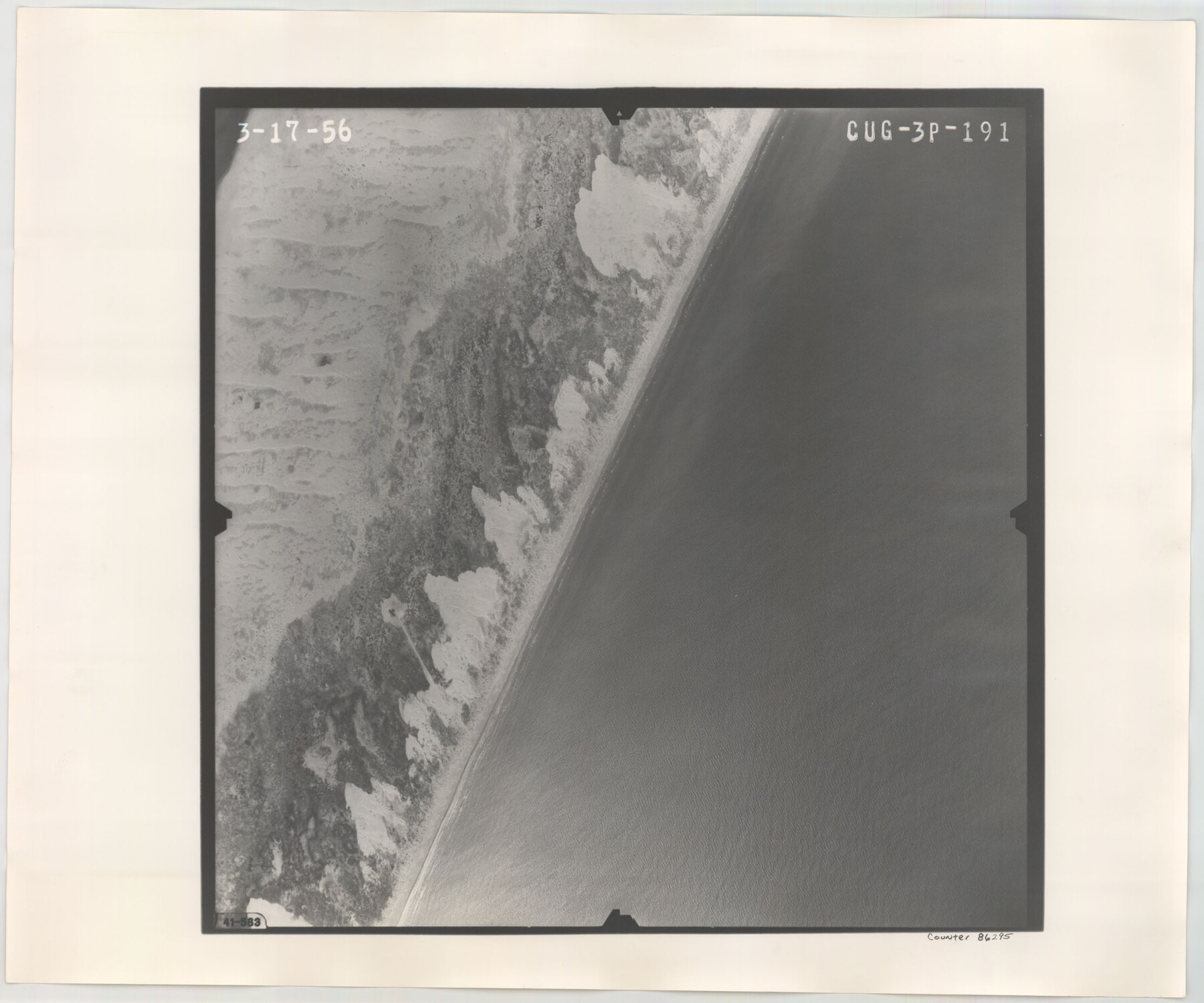
Flight Mission No. CUG-3P, Frame 191, Kleberg County
CUG-3P-191
-
Map/Doc
86295
-
Collection
General Map Collection
-
Object Dates
1956/3/17 (Creation Date)
-
People and Organizations
U. S. Department of Agriculture (Publisher)
-
Counties
Kleberg
-
Subjects
Aerial Photograph
-
Height x Width
18.5 x 22.3 inches
47.0 x 56.6 cm
-
Comments
Flown by V. L. Beavers and Associates of San Antonio, Texas.
Part of: General Map Collection
Flight Mission No. DQN-2K, Frame 80, Calhoun County

Print $20.00
- Digital $50.00
Flight Mission No. DQN-2K, Frame 80, Calhoun County
1953
Size 18.4 x 22.2 inches
Map/Doc 84272
Knox County Boundary File 6

Print $4.00
- Digital $50.00
Knox County Boundary File 6
Size 11.4 x 8.7 inches
Map/Doc 65049
Schleicher County Rolled Sketch 9

Print $20.00
- Digital $50.00
Schleicher County Rolled Sketch 9
Size 22.7 x 22.0 inches
Map/Doc 7751
Pecos County Rolled Sketch 78

Print $40.00
- Digital $50.00
Pecos County Rolled Sketch 78
1930
Size 52.6 x 44.1 inches
Map/Doc 9705
Lavaca County Rolled Sketch 6

Print $20.00
- Digital $50.00
Lavaca County Rolled Sketch 6
1986
Size 44.8 x 33.9 inches
Map/Doc 10290
Crosby County Sketch File 26

Print $28.00
- Digital $50.00
Crosby County Sketch File 26
1888
Size 14.1 x 8.6 inches
Map/Doc 20098
Culberson County Working Sketch 54

Print $20.00
- Digital $50.00
Culberson County Working Sketch 54
1974
Size 26.4 x 32.6 inches
Map/Doc 68508
Crane County Sketch File 11

Print $40.00
- Digital $50.00
Crane County Sketch File 11
Size 18.5 x 8.9 inches
Map/Doc 19569
Johnson County Working Sketch 16

Print $20.00
- Digital $50.00
Johnson County Working Sketch 16
1981
Size 37.3 x 38.0 inches
Map/Doc 66629
Jackson County Working Sketch 3

Print $20.00
- Digital $50.00
Jackson County Working Sketch 3
1941
Size 34.3 x 29.8 inches
Map/Doc 66451
Webb County Rolled Sketch 59

Print $20.00
- Digital $50.00
Webb County Rolled Sketch 59
1947
Size 15.3 x 26.7 inches
Map/Doc 8210
Flight Mission No. CRC-2R, Frame 184, Chambers County

Print $20.00
- Digital $50.00
Flight Mission No. CRC-2R, Frame 184, Chambers County
1956
Size 18.6 x 22.2 inches
Map/Doc 84762
You may also like
Knox County Rolled Sketch 12

Print $48.00
- Digital $50.00
Knox County Rolled Sketch 12
1888
Size 44.1 x 28.9 inches
Map/Doc 9408
Atascosa County Sketch File 41

Print $8.00
- Digital $50.00
Atascosa County Sketch File 41
1956
Size 11.3 x 8.8 inches
Map/Doc 13837
Martin County Working Sketch 3

Print $20.00
- Digital $50.00
Martin County Working Sketch 3
1950
Size 40.9 x 46.2 inches
Map/Doc 70821
Midland County Rolled Sketch 11

Print $20.00
- Digital $50.00
Midland County Rolled Sketch 11
Size 45.7 x 26.2 inches
Map/Doc 6767
Flight Mission No. DQN-5K, Frame 143, Calhoun County

Print $20.00
- Digital $50.00
Flight Mission No. DQN-5K, Frame 143, Calhoun County
1953
Size 18.8 x 22.3 inches
Map/Doc 84418
Brewster County Rolled Sketch 144

Print $40.00
- Digital $50.00
Brewster County Rolled Sketch 144
Size 51.7 x 48.3 inches
Map/Doc 8526
Coast Chart No. 212 - From Latitude 26° 33' to the Rio Grande Texas

Print $20.00
- Digital $50.00
Coast Chart No. 212 - From Latitude 26° 33' to the Rio Grande Texas
1886
Size 27.2 x 18.2 inches
Map/Doc 72830
Hutchinson County Working Sketch 39

Print $20.00
- Digital $50.00
Hutchinson County Working Sketch 39
1978
Size 27.4 x 23.2 inches
Map/Doc 66399
Terrell County Sketch File 35

Print $36.00
- Digital $50.00
Terrell County Sketch File 35
1957
Size 32.0 x 37.6 inches
Map/Doc 10389
Wood County Rolled Sketch 5

Print $20.00
- Digital $50.00
Wood County Rolled Sketch 5
1950
Size 36.8 x 40.2 inches
Map/Doc 10161
Schleicher County Sketch File 15

Print $22.00
- Digital $50.00
Schleicher County Sketch File 15
1928
Size 8.1 x 12.9 inches
Map/Doc 36504
