Tyler County Rolled Sketch 6
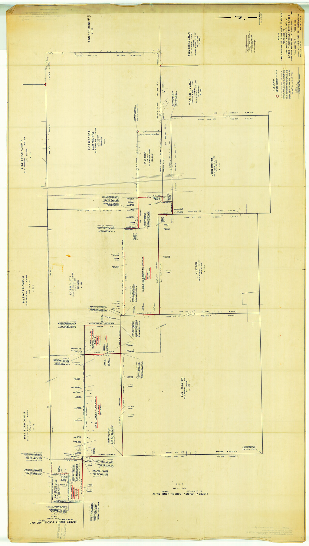
Map in explanation of surveyor's statement pertaining to Good Faith Claimant's filings no. SF-15817 tracts (1 & 2), SF-15818 & SF-15819 in the south western part of Tyler County, Texas
-
Map/Doc
10029
-
Collection
General Map Collection
-
Object Dates
1956/3/6 (Creation Date)
1956/3/20 (File Date)
-
People and Organizations
J.S. Boyles (Surveyor/Engineer)
-
Counties
Tyler
-
Subjects
Surveying Rolled Sketch
-
Height x Width
76.1 x 43.2 inches
193.3 x 109.7 cm
-
Medium
blueprint/diazo
-
Scale
1" = 100 varas
Related maps
Tyler County Sketch File 27

Print $6.00
- Digital $50.00
Tyler County Sketch File 27
1956
Size 14.5 x 8.8 inches
Map/Doc 38696
Part of: General Map Collection
Comanche County Working Sketch 22

Print $20.00
- Digital $50.00
Comanche County Working Sketch 22
1974
Size 23.7 x 23.1 inches
Map/Doc 68156
Live Oak County Sketch File 22

Print $20.00
- Digital $50.00
Live Oak County Sketch File 22
Size 17.4 x 9.7 inches
Map/Doc 30299
Galveston County Rolled Sketch 10

Print $20.00
- Digital $50.00
Galveston County Rolled Sketch 10
1916
Size 21.0 x 38.0 inches
Map/Doc 5952
Chambers County Sketch File 39

Print $52.00
- Digital $50.00
Chambers County Sketch File 39
Size 11.0 x 6.6 inches
Map/Doc 17652
Map of Cherokee County

Print $20.00
- Digital $50.00
Map of Cherokee County
1863
Size 25.5 x 17.7 inches
Map/Doc 3387
Right of Way & Track Map San Antonio & Aransas Pass Railway Co.

Print $40.00
- Digital $50.00
Right of Way & Track Map San Antonio & Aransas Pass Railway Co.
1919
Size 25.8 x 57.1 inches
Map/Doc 64027
Military Reconnaissance [showing forts along Rio Grande near Matamoros]
![72911, Military Reconnaissance [showing forts along Rio Grande near Matamoros], General Map Collection](https://historictexasmaps.com/wmedia_w700/maps/72911.tif.jpg)
Print $20.00
- Digital $50.00
Military Reconnaissance [showing forts along Rio Grande near Matamoros]
1846
Size 18.2 x 27.2 inches
Map/Doc 72911
Wichita County

Print $20.00
- Digital $50.00
Wichita County
1971
Size 35.8 x 37.7 inches
Map/Doc 77457
Sutton County Sketch File 6

Print $8.00
- Digital $50.00
Sutton County Sketch File 6
1897
Size 14.0 x 9.0 inches
Map/Doc 37358
Brewster County Sketch File NS-4c

Print $6.00
- Digital $50.00
Brewster County Sketch File NS-4c
Size 9.2 x 7.3 inches
Map/Doc 15958
Menard County

Print $20.00
- Digital $50.00
Menard County
1942
Size 40.1 x 43.7 inches
Map/Doc 66928
Map of Cameron County

Print $40.00
- Digital $50.00
Map of Cameron County
1880
Size 50.3 x 26.5 inches
Map/Doc 4786
You may also like
Anderson County Working Sketch 24

Print $20.00
- Digital $50.00
Anderson County Working Sketch 24
1917
Size 16.6 x 15.3 inches
Map/Doc 67024
[University Lands Blocks 16-18]
![91568, [University Lands Blocks 16-18], Twichell Survey Records](https://historictexasmaps.com/wmedia_w700/maps/91568-1.tif.jpg)
Print $20.00
- Digital $50.00
[University Lands Blocks 16-18]
Size 18.5 x 12.7 inches
Map/Doc 91568
Flight Mission No. DQN-2K, Frame 24, Calhoun County

Print $20.00
- Digital $50.00
Flight Mission No. DQN-2K, Frame 24, Calhoun County
1953
Size 18.6 x 22.2 inches
Map/Doc 84231
Willacy County

Print $20.00
- Digital $50.00
Willacy County
1921
Size 25.2 x 32.2 inches
Map/Doc 73325
USGS Topographic: Texas-Oklahoma Denison Quadrangle

Print $20.00
- Digital $50.00
USGS Topographic: Texas-Oklahoma Denison Quadrangle
1901
Size 21.3 x 17.4 inches
Map/Doc 75108
Maps of Gulf Intracoastal Waterway, Texas - Sabine River to the Rio Grande and connecting waterways including ship channels

Print $20.00
- Digital $50.00
Maps of Gulf Intracoastal Waterway, Texas - Sabine River to the Rio Grande and connecting waterways including ship channels
1966
Size 14.6 x 22.2 inches
Map/Doc 61975
Panola County Working Sketch 24

Print $20.00
- Digital $50.00
Panola County Working Sketch 24
1957
Map/Doc 71433
Flight Mission No. DQN-2K, Frame 117, Calhoun County

Print $20.00
- Digital $50.00
Flight Mission No. DQN-2K, Frame 117, Calhoun County
1953
Size 18.3 x 22.1 inches
Map/Doc 84293
Llano County Working Sketch 13

Print $20.00
- Digital $50.00
Llano County Working Sketch 13
1987
Size 23.0 x 22.3 inches
Map/Doc 70631

Harrison County Sketch File 14

Print $32.00
- Digital $50.00
Harrison County Sketch File 14
1880
Size 11.2 x 8.8 inches
Map/Doc 26053
Llano County Sketch File 9

Print $42.00
- Digital $50.00
Llano County Sketch File 9
Size 8.6 x 13.1 inches
Map/Doc 30369