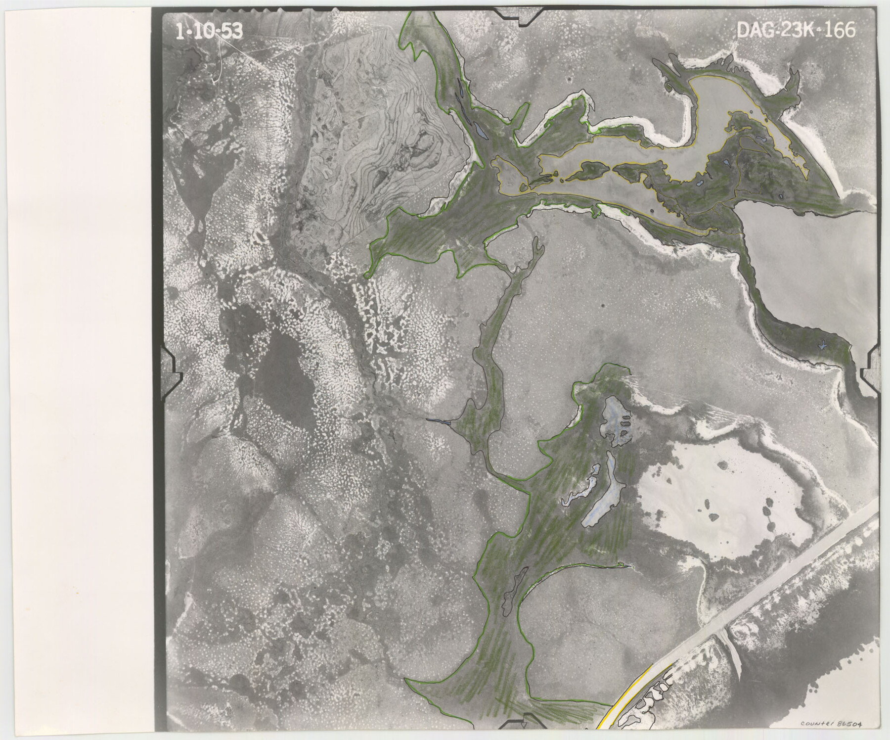
Flight Mission No. DAG-23K, Frame 166, Matagorda County
DAG-23K-166
-
Map/Doc
86504
-
Collection
General Map Collection
-
Object Dates
1953/1/10 (Creation Date)
-
People and Organizations
U. S. Department of Agriculture (Publisher)
-
Counties
Matagorda
-
Subjects
Aerial Photograph
-
Height x Width
15.9 x 19.1 inches
40.4 x 48.5 cm
-
Comments
Flown by Aero Exploration Company of Tulsa, Oklahoma.
Part of: General Map Collection
Sherman County Boundary File 3

Print $55.00
- Digital $50.00
Sherman County Boundary File 3
Size 9.2 x 8.6 inches
Map/Doc 58773
Val Verde County Rolled Sketch 30

Print $20.00
- Digital $50.00
Val Verde County Rolled Sketch 30
1884
Size 43.8 x 26.4 inches
Map/Doc 8111
Matagorda Bay and Approaches

Print $20.00
- Digital $50.00
Matagorda Bay and Approaches
1948
Size 35.3 x 45.0 inches
Map/Doc 73380
Brooks County Rolled Sketch 28

Print $20.00
- Digital $50.00
Brooks County Rolled Sketch 28
1947
Size 28.9 x 32.0 inches
Map/Doc 5346
Potter County Sketch File 6

Print $20.00
- Digital $50.00
Potter County Sketch File 6
1900
Size 34.4 x 29.0 inches
Map/Doc 10575
Presidio County Sketch File 116

Print $86.00
- Digital $50.00
Presidio County Sketch File 116
1993
Size 11.4 x 8.7 inches
Map/Doc 34842
Flight Mission No. BRA-9M, Frame 65, Jefferson County

Print $20.00
- Digital $50.00
Flight Mission No. BRA-9M, Frame 65, Jefferson County
1953
Size 18.6 x 22.2 inches
Map/Doc 85648
Newton County Sketch File 7

Print $4.00
- Digital $50.00
Newton County Sketch File 7
1872
Size 6.1 x 8.3 inches
Map/Doc 32374
Nolan County Rolled Sketch 4

Print $20.00
- Digital $50.00
Nolan County Rolled Sketch 4
1982
Size 21.7 x 25.2 inches
Map/Doc 6862
Flight Mission No. BQR-4K, Frame 61, Brazoria County

Print $20.00
- Digital $50.00
Flight Mission No. BQR-4K, Frame 61, Brazoria County
1952
Size 18.7 x 22.5 inches
Map/Doc 83994
Presidio County Sketch File 95

Print $22.00
- Digital $50.00
Presidio County Sketch File 95
1958
Size 12.7 x 16.4 inches
Map/Doc 34773
Floyd County Boundary File 2

Print $53.00
- Digital $50.00
Floyd County Boundary File 2
Size 8.9 x 4.2 inches
Map/Doc 53462
You may also like
Floyd County Working Sketch 2

Print $20.00
- Digital $50.00
Floyd County Working Sketch 2
1911
Size 41.0 x 24.8 inches
Map/Doc 69181
Bell County Sketch File 22

Print $4.00
- Digital $50.00
Bell County Sketch File 22
1872
Size 10.2 x 8.0 inches
Map/Doc 14412
McCulloch County Working Sketch 7

Print $20.00
- Digital $50.00
McCulloch County Working Sketch 7
1976
Size 35.9 x 30.4 inches
Map/Doc 70682
Llano County Working Sketch 7

Print $20.00
- Digital $50.00
Llano County Working Sketch 7
1968
Size 30.9 x 30.3 inches
Map/Doc 70625
Hutchinson County Sketch File 39

Print $20.00
- Digital $50.00
Hutchinson County Sketch File 39
1938
Size 23.5 x 19.0 inches
Map/Doc 11822
Flight Mission No. DQN-3K, Frame 8, Calhoun County

Print $20.00
- Digital $50.00
Flight Mission No. DQN-3K, Frame 8, Calhoun County
1953
Size 18.5 x 22.1 inches
Map/Doc 84340
General Highway Map, Matagorda County, Texas

Print $20.00
General Highway Map, Matagorda County, Texas
1939
Size 24.6 x 18.4 inches
Map/Doc 79188
Hays County Working Sketch 18

Print $20.00
- Digital $50.00
Hays County Working Sketch 18
1978
Size 33.4 x 32.0 inches
Map/Doc 66092
Flight Mission No. BRE-2G, Frame 118, Nueces County

Print $20.00
- Digital $50.00
Flight Mission No. BRE-2G, Frame 118, Nueces County
1950
Size 18.4 x 18.2 inches
Map/Doc 86623
Kleberg County Rolled Sketch 8

Print $20.00
- Digital $50.00
Kleberg County Rolled Sketch 8
1947
Size 33.0 x 42.0 inches
Map/Doc 9360
Briscoe County Boundary File 6

Print $4.00
- Digital $50.00
Briscoe County Boundary File 6
Size 10.6 x 8.1 inches
Map/Doc 50804
Map of Haskell County

Print $20.00
- Digital $50.00
Map of Haskell County
1899
Size 39.8 x 35.7 inches
Map/Doc 4974