The Gnome of Kimble County
2019 Texas General Land Office Holiday Ornament
The Gnome of Kimble County is the fourth ornament produced by the Texas General Land Office Save Texas History Program. This item was inspired by the hand-drawn Map of Kimble County, 1860 from the Map Collection of the Texas General Land Office. Its creator, GLO draftsman Frederick Herman Arlitt, added a whimsical gnome to the cartouche in the upper right corner.
-
Map/Doc
95706
-
Collection
Save Texas History Collectibles
-
Object Dates
2019 (Creation Date)
-
Height x Width
3.5 x 3.0 inches
8.9 x 7.6 cm
-
Comments
To view other ornaments available, please see our Publication and Collectibles.
Related maps
Map of Kimble County, 1860


Print $20.00
- Digital $50.00
Map of Kimble County, 1860
1860
Size 20.7 x 30.5 inches
Map/Doc 3769
Part of: Save Texas History Collectibles
"Capture of Cynthia Ann Parker"
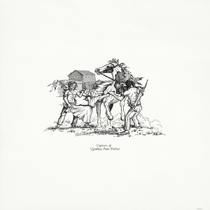

Print $20.00
"Capture of Cynthia Ann Parker"
Size 20.0 x 16.0 inches
Map/Doc 94150
The Compass Rose of Austin's Colony


Price $20.00
The Compass Rose of Austin's Colony
2016
Size 4.0 x 3.5 inches
Map/Doc 94443
The Star of Llano County
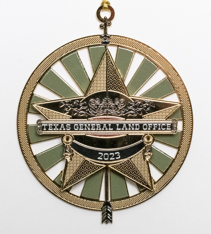

Price $20.00
The Star of Llano County
2023
Size 3.3 x 2.8 inches
Map/Doc 97175
"Pancho Villa Meets Genl. John J. Pershing"
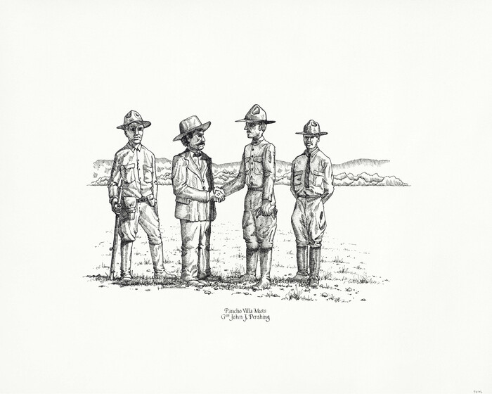

Print $20.00
"Pancho Villa Meets Genl. John J. Pershing"
Size 16.0 x 20.0 inches
Map/Doc 94146
Catalogue of the Spanish Collection of the Texas General Land Office
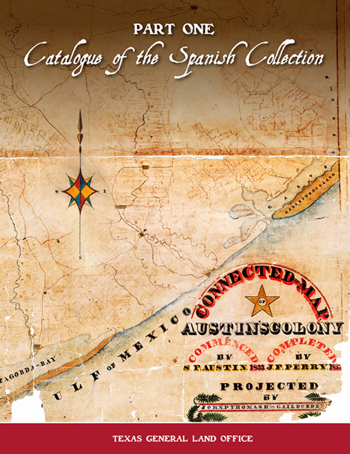

Price $15.00
Catalogue of the Spanish Collection of the Texas General Land Office
2003
Size 10.8 x 8.5 inches
Map/Doc 83386
"The Spirit of the Alamo Lives On"
.tif.jpg)
.tif.jpg)
Price $20.00
"The Spirit of the Alamo Lives On"
2009
Size 24.0 x 36.0 inches
Map/Doc 95290
The Gnome of Kimble County
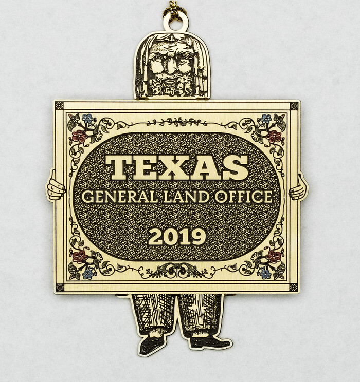

Price $20.00
The Gnome of Kimble County
2019
Size 3.5 x 3.0 inches
Map/Doc 95706
Lay's Eagle of the United States


Price $20.00
Lay's Eagle of the United States
2020
Size 3.6 x 4.9 inches
Map/Doc 95952
Catalogue of the Spanish Collection of the Texas General Land Office
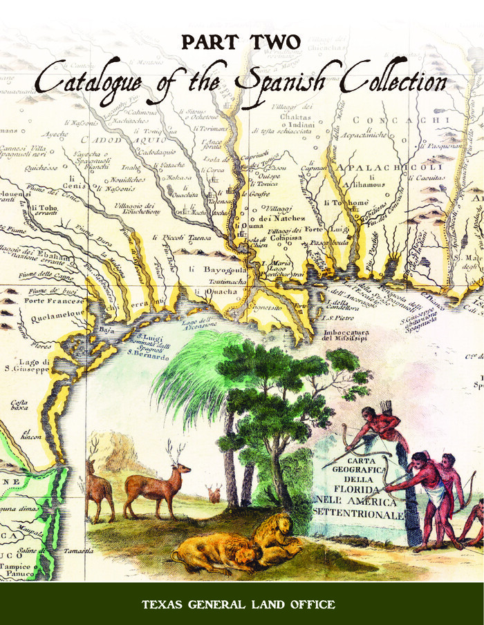

Digital $15.00
Catalogue of the Spanish Collection of the Texas General Land Office
2003
Size 10.8 x 8.5 inches
Map/Doc 83387
You may also like
Presidio County Sketch File 69a


Print $6.00
- Digital $50.00
Presidio County Sketch File 69a
1923
Size 17.0 x 11.0 inches
Map/Doc 34664
Flight Mission No. CRC-3R, Frame 197, Chambers County
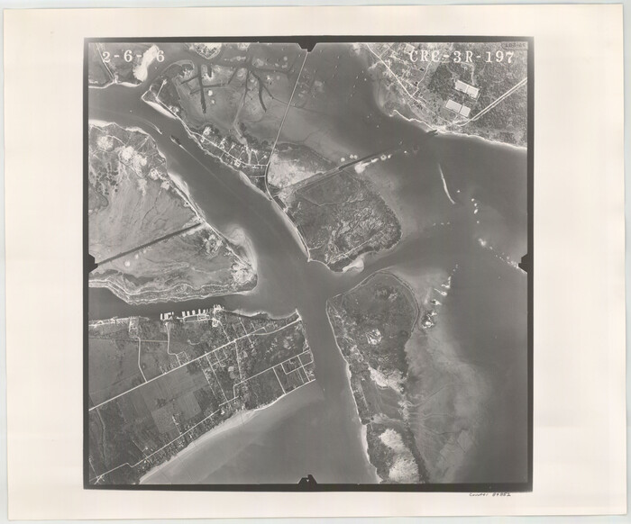

Print $20.00
- Digital $50.00
Flight Mission No. CRC-3R, Frame 197, Chambers County
1956
Size 18.5 x 22.3 inches
Map/Doc 84852
Borden County Sketch File 3a
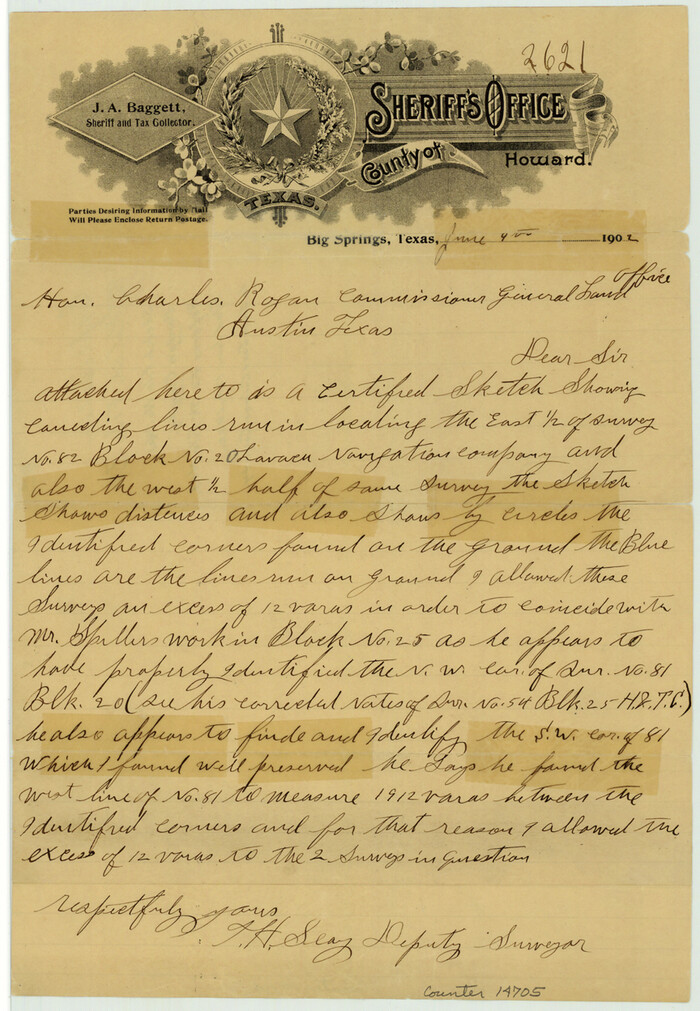

Print $4.00
- Digital $50.00
Borden County Sketch File 3a
1902
Size 12.5 x 8.6 inches
Map/Doc 14705
Railroad Track Map, H&TCRRCo., Falls County, Texas
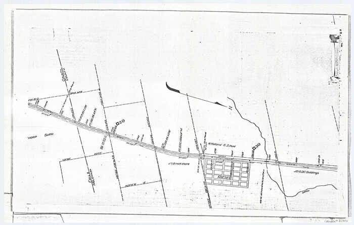

Print $4.00
- Digital $50.00
Railroad Track Map, H&TCRRCo., Falls County, Texas
1918
Size 11.8 x 18.6 inches
Map/Doc 62844
Austin County Sketch File 5


Print $40.00
- Digital $50.00
Austin County Sketch File 5
1885
Size 47.7 x 24.6 inches
Map/Doc 10319
Harris County Sketch File 59a
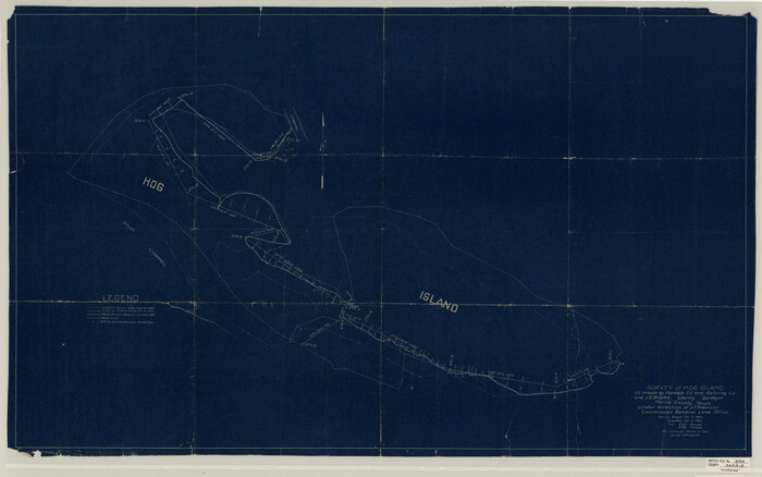

Print $20.00
- Digital $50.00
Harris County Sketch File 59a
Size 25.1 x 40.1 inches
Map/Doc 10479
Famous Heights Addn. Amarillo, Texas
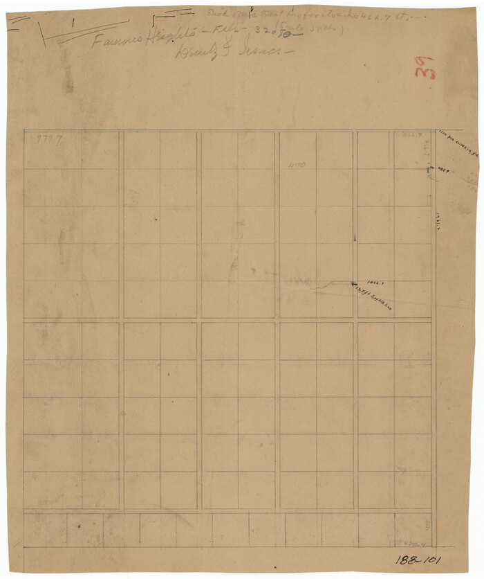

Print $2.00
- Digital $50.00
Famous Heights Addn. Amarillo, Texas
Size 8.3 x 9.8 inches
Map/Doc 91700
Northeast Part of Webb County


Print $40.00
- Digital $50.00
Northeast Part of Webb County
1986
Size 38.0 x 49.2 inches
Map/Doc 73318
Flight Mission No. DQN-6K, Frame 73, Calhoun County
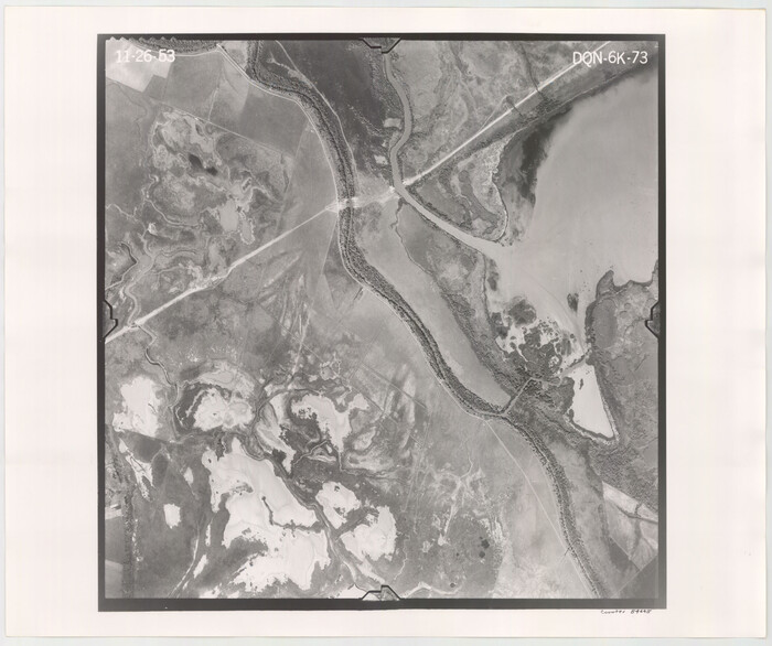

Print $20.00
- Digital $50.00
Flight Mission No. DQN-6K, Frame 73, Calhoun County
1953
Size 18.5 x 22.1 inches
Map/Doc 84445
Harris County Rolled Sketch 94


Print $20.00
- Digital $50.00
Harris County Rolled Sketch 94
1985
Size 33.8 x 18.4 inches
Map/Doc 6133
Starr County Rolled Sketch 15


Print $20.00
- Digital $50.00
Starr County Rolled Sketch 15
1913
Size 22.7 x 23.6 inches
Map/Doc 7800
Flight Mission No. DQO-8K, Frame 40, Galveston County


Print $20.00
- Digital $50.00
Flight Mission No. DQO-8K, Frame 40, Galveston County
1952
Size 18.5 x 22.3 inches
Map/Doc 85147

