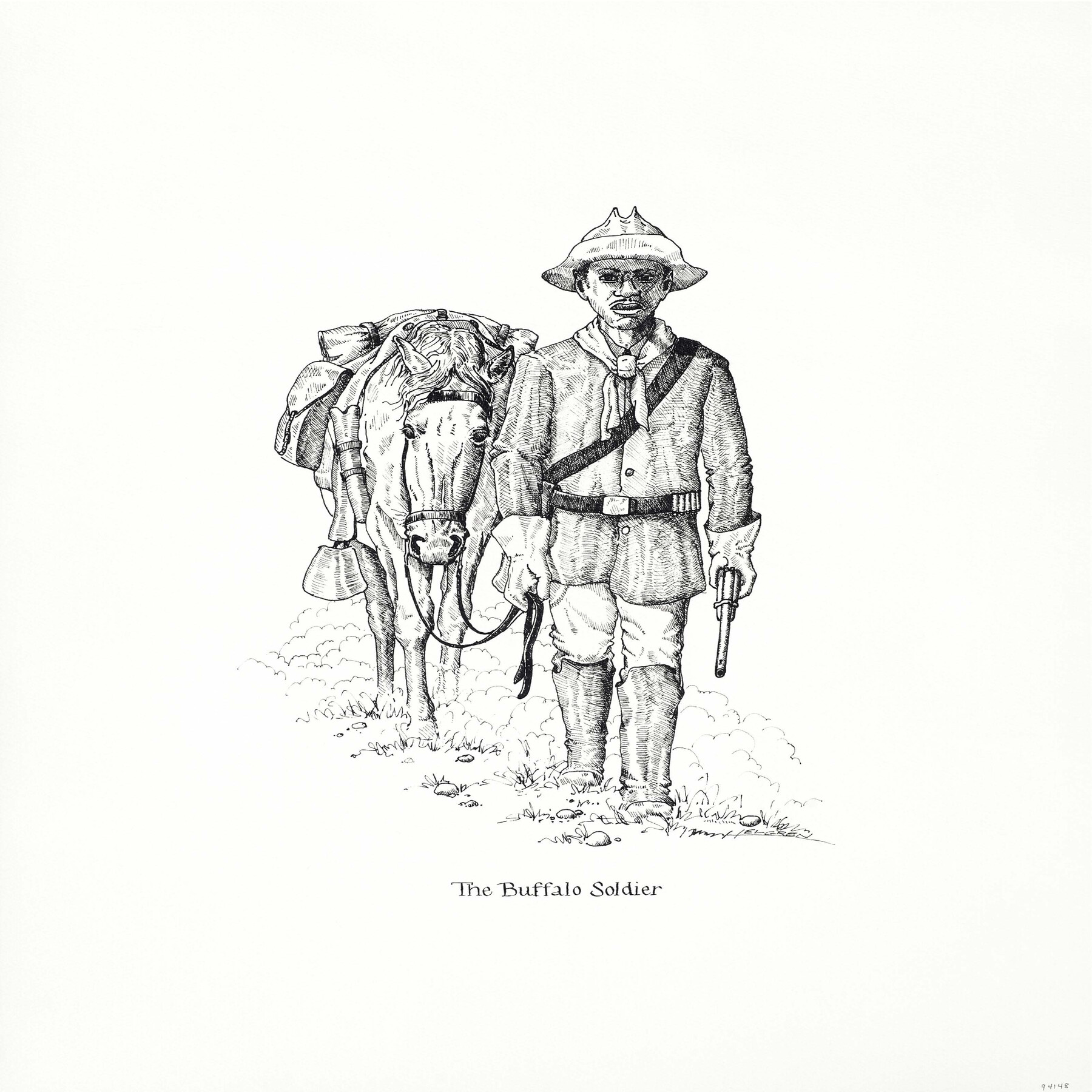
"The Buffalo Soldier"
-
Map/Doc
94148
-
Collection
Save Texas History Collectibles
-
People and Organizations
Texas General Land Office (Publisher)
Kenneth Helgren (Illustrator)
-
Subjects
Pictorial
-
Height x Width
20.0 x 16.0 inches
50.8 x 40.6 cm
-
Medium
paper, print
-
Comments
Artwork created by Kenneth Helgren for the "Great Military Map of Texas" (Map 83432)
Related maps
Texas Land Commissioner Jerry Patterson's Great Military Map of Texas showing Significant Conflicts and Events between 1685 and 1916

Print $20.00
- Digital $50.00
Texas Land Commissioner Jerry Patterson's Great Military Map of Texas showing Significant Conflicts and Events between 1685 and 1916
2006
Size 36.7 x 24.8 inches
Map/Doc 83432
Part of: Save Texas History Collectibles
The Yellow Rose Compass

Price $20.00
The Yellow Rose Compass
2025
Size 3.5 x 2.8 inches
Map/Doc 97508

The Compass Rose of Austin's Colony

Price $20.00
The Compass Rose of Austin's Colony
2016
Size 4.0 x 3.5 inches
Map/Doc 94443
2026 Save Texas History™ Map Calendar
.jpg)
Price $5.00
2026 Save Texas History™ Map Calendar
2025
Size 11.0 x 8.5 inches
Map/Doc 97491
New Guide to Spanish and Mexican Land Grants in South Texas

Price $15.00
New Guide to Spanish and Mexican Land Grants in South Texas
2009
Size 11.0 x 8.5 inches
Map/Doc 83388


Catalogue of the Spanish Collection of the Texas General Land Office

Price $15.00
Catalogue of the Spanish Collection of the Texas General Land Office
2003
Size 10.8 x 8.5 inches
Map/Doc 83386
Energy Map of Texas Ornament

Price $20.00
Energy Map of Texas Ornament
2021
Size 2.5 x 2.5 inches
Map/Doc 96574
The Gnome of Kimble County

Price $20.00
The Gnome of Kimble County
2019
Size 3.5 x 3.0 inches
Map/Doc 95706
"The Spirit of the Alamo Lives On"
.tif.jpg)
Price $20.00
"The Spirit of the Alamo Lives On"
2009
Size 24.0 x 36.0 inches
Map/Doc 95290
Bien & Sterner’s New Rail Road Map of the United States

Price $20.00
Bien & Sterner’s New Rail Road Map of the United States
2022
Size 3.6 x 4.9 inches
Map/Doc 97020
You may also like
Dickens County

Print $20.00
- Digital $50.00
Dickens County
1891
Size 24.5 x 20.2 inches
Map/Doc 4533
Portion of Lynn and Terry Counties

Print $20.00
- Digital $50.00
Portion of Lynn and Terry Counties
Size 34.2 x 35.5 inches
Map/Doc 92934
San Felipe Town Tract & Adjoining Survey for S. F. Austin and A. Lester

Print $2.00
- Digital $50.00
San Felipe Town Tract & Adjoining Survey for S. F. Austin and A. Lester
Size 9.9 x 8.1 inches
Map/Doc 78368
Uvalde County Working Sketch 6

Print $20.00
- Digital $50.00
Uvalde County Working Sketch 6
1940
Size 37.8 x 38.9 inches
Map/Doc 72076
Dallas County Rolled Sketch 3A

Print $40.00
- Digital $50.00
Dallas County Rolled Sketch 3A
1953
Size 29.9 x 78.8 inches
Map/Doc 8768
Collingsworth County Sketch File 8

Print $4.00
- Digital $50.00
Collingsworth County Sketch File 8
Size 7.4 x 11.6 inches
Map/Doc 18889
Hudspeth County Rolled Sketch 55

Print $49.00
- Digital $50.00
Hudspeth County Rolled Sketch 55
1977
Size 10.0 x 15.0 inches
Map/Doc 45968
Jack County Boundary File 2

Print $48.00
- Digital $50.00
Jack County Boundary File 2
Size 14.3 x 8.8 inches
Map/Doc 55384
Map of Shackelford County, Texas

Print $20.00
- Digital $50.00
Map of Shackelford County, Texas
1879
Size 28.7 x 23.4 inches
Map/Doc 616
Brewster County Rolled Sketch 114

Print $20.00
- Digital $50.00
Brewster County Rolled Sketch 114
1964
Size 11.9 x 18.3 inches
Map/Doc 5280
Flight Mission No. DCL-6C, Frame 132, Kenedy County

Print $20.00
- Digital $50.00
Flight Mission No. DCL-6C, Frame 132, Kenedy County
1943
Size 18.6 x 22.3 inches
Map/Doc 85962
[Block B9 and 3KA]
![90329, [Block B9 and 3KA], Twichell Survey Records](https://historictexasmaps.com/wmedia_w700/maps/90329-1.tif.jpg)
Print $20.00
- Digital $50.00
[Block B9 and 3KA]
Size 31.4 x 17.8 inches
Map/Doc 90329