Hopkins County Sketch File 28

Print $20.00
- Digital $50.00
Hopkins County Sketch File 28
Size: 24.8 x 34.0 inches
11786
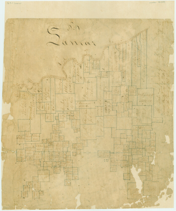
Lamar County Sketch File 12

Print $20.00
- Digital $50.00
Lamar County Sketch File 12
Size: 19.5 x 23.3 inches
11967
North East Corner of Lamar County

Print $3.00
- Digital $50.00
North East Corner of Lamar County
Size: 10.7 x 15.4 inches
291
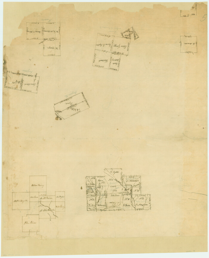
Lamar County Sketch File 4

Print $50.00
- Digital $50.00
Lamar County Sketch File 4
Size: 9.8 x 8.1 inches
29278
Lamar County Sketch File 6

Print $40.00
- Digital $50.00
Lamar County Sketch File 6
Size: 16.2 x 13.4 inches
29286
Red River County Sketch File 8

Print $22.00
- Digital $50.00
Red River County Sketch File 8
Size: 14.7 x 16.8 inches
35112
Red River County Sketch File 19

Print $4.00
- Digital $50.00
Red River County Sketch File 19
Size: 8.1 x 12.7 inches
35150
Lamar County Boundary File 56

Print $60.00
- Digital $50.00
Lamar County Boundary File 56
Size: 8.7 x 6.4 inches
56000
Lamar County Boundary File 56a

Print $34.00
- Digital $50.00
Lamar County Boundary File 56a
Size: 8.7 x 14.3 inches
56020
Map of the Recognised Line, M. El. P. & P. RR. from Texas & Arkansas State Line to Milam & Bexar Land District Line

Print $40.00
- Digital $50.00
Map of the Recognised Line, M. El. P. & P. RR. from Texas & Arkansas State Line to Milam & Bexar Land District Line
Size: 15.3 x 89.4 inches
64638
Lamar County Working Sketch 1

Print $20.00
- Digital $50.00
Lamar County Working Sketch 1
Size: 19.0 x 18.2 inches
70262
Lamar County Working Sketch 2

Print $20.00
- Digital $50.00
Lamar County Working Sketch 2
Size: 27.9 x 25.6 inches
70263
Red River County Rolled Sketch 7A

Print $20.00
- Digital $50.00
Red River County Rolled Sketch 7A
Size: 28.3 x 33.1 inches
7472
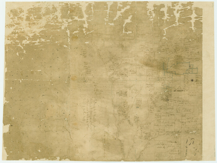
[Surveys along and below the Red River and the Lamar and Fannin County line, Lamar District]
Print $3.00
- Digital $50.00
[Surveys along and below the Red River and the Lamar and Fannin County line, Lamar District]
Size: 12.1 x 10.1 inches
76049
Field notes for subdivisions of University Leagues/Surveys in Fannin, Grayson, McLennan, Hunt, Lamar, Collin, and Cooke Counties

Field notes for subdivisions of University Leagues/Surveys in Fannin, Grayson, McLennan, Hunt, Lamar, Collin, and Cooke Counties
81727
[Surveys along the Red River, Bois d'Arc Creek, Duck Creek, and Choctaw Bayou made under G.W. Smyth, Commissioner]
Print $20.00
- Digital $50.00
[Surveys along the Red River, Bois d'Arc Creek, Duck Creek, and Choctaw Bayou made under G.W. Smyth, Commissioner]
1834
Size: 19.7 x 16.0 inches
74
English Field Notes of the Spanish Archives - Books BTB, GA, BT, and X

English Field Notes of the Spanish Archives - Books BTB, GA, BT, and X
1835
96554
[South part of Lamar County]
Print $20.00
- Digital $50.00
[South part of Lamar County]
1844
Size: 15.5 x 20.5 inches
76045
Hopkins County Sketch File 2

Print $28.00
- Digital $50.00
Hopkins County Sketch File 2
1845
Size: 11.1 x 7.9 inches
26678
Field Notes of Mercer's Colony, Robertson, Nac[a]gdoches, Fannin, & Lamar Counties.
![1953, Field Notes of Mercer's Colony, Robertson, Nac[a]gdoches, Fannin, & Lamar Counties., General Map Collection](https://historictexasmaps.com/wmedia_w700/pdf_converted_jpg/qi_pdf_thumbnail_897.jpg)
Print $30.00
- Digital $50.00
Field Notes of Mercer's Colony, Robertson, Nac[a]gdoches, Fannin, & Lamar Counties.
1845
Size: 9.5 x 14.8 inches
1953
Map of Lamar County

Print $20.00
- Digital $50.00
Map of Lamar County
1849
Size: 25.7 x 26.8 inches
1236
Lamar County Sketch File 1

Print $4.00
- Digital $50.00
Lamar County Sketch File 1
1849
Size: 8.0 x 8.2 inches
29271
Map of the Lands Surveyed by the Memphis, El Paso & Pacific R.R. Company

Print $20.00
- Digital $50.00
Map of the Lands Surveyed by the Memphis, El Paso & Pacific R.R. Company
1859
Size: 15.8 x 19.0 inches
4844
Lamar County Sketch File 2

Print $4.00
- Digital $50.00
Lamar County Sketch File 2
1859
Size: 12.1 x 7.5 inches
29273
Red River County Sketch File 8b

Print $6.00
- Digital $50.00
Red River County Sketch File 8b
1860
Size: 8.2 x 3.7 inches
35114
Red River County Sketch File 10

Print $15.00
- Digital $50.00
Red River County Sketch File 10
1863
Size: 9.1 x 7.4 inches
35121
Lamar County Sketch File 3

Print $6.00
- Digital $50.00
Lamar County Sketch File 3
1864
Size: 14.2 x 8.6 inches
29275
Lamar County, Texas

Print $20.00
- Digital $50.00
Lamar County, Texas
1870
Size: 21.5 x 18.1 inches
738
Hopkins County Sketch File 28
Print $20.00
- Digital $50.00
Hopkins County Sketch File 28
-
Size
24.8 x 34.0 inches
-
Map/Doc
11786
Lamar County Sketch File 12
Print $20.00
- Digital $50.00
Lamar County Sketch File 12
-
Size
19.5 x 23.3 inches
-
Map/Doc
11967
North East Corner of Lamar County
Print $3.00
- Digital $50.00
North East Corner of Lamar County
-
Size
10.7 x 15.4 inches
-
Map/Doc
291
Lamar County Sketch File 4
Print $50.00
- Digital $50.00
Lamar County Sketch File 4
-
Size
9.8 x 8.1 inches
-
Map/Doc
29278
Lamar County Sketch File 6
Print $40.00
- Digital $50.00
Lamar County Sketch File 6
-
Size
16.2 x 13.4 inches
-
Map/Doc
29286
Red River County Sketch File 8
Print $22.00
- Digital $50.00
Red River County Sketch File 8
-
Size
14.7 x 16.8 inches
-
Map/Doc
35112
Red River County Sketch File 19
Print $4.00
- Digital $50.00
Red River County Sketch File 19
-
Size
8.1 x 12.7 inches
-
Map/Doc
35150
Lamar County Boundary File 56
Print $60.00
- Digital $50.00
Lamar County Boundary File 56
-
Size
8.7 x 6.4 inches
-
Map/Doc
56000
Lamar County Boundary File 56a
Print $34.00
- Digital $50.00
Lamar County Boundary File 56a
-
Size
8.7 x 14.3 inches
-
Map/Doc
56020
Map of the Recognised Line, M. El. P. & P. RR. from Texas & Arkansas State Line to Milam & Bexar Land District Line
Print $40.00
- Digital $50.00
Map of the Recognised Line, M. El. P. & P. RR. from Texas & Arkansas State Line to Milam & Bexar Land District Line
-
Size
15.3 x 89.4 inches
-
Map/Doc
64638
Lamar County Working Sketch 1
Print $20.00
- Digital $50.00
Lamar County Working Sketch 1
-
Size
19.0 x 18.2 inches
-
Map/Doc
70262
Lamar County Working Sketch 2
Print $20.00
- Digital $50.00
Lamar County Working Sketch 2
-
Size
27.9 x 25.6 inches
-
Map/Doc
70263
Red River County Rolled Sketch 7A
Print $20.00
- Digital $50.00
Red River County Rolled Sketch 7A
-
Size
28.3 x 33.1 inches
-
Map/Doc
7472
[Surveys along and below the Red River and the Lamar and Fannin County line, Lamar District]
Print $3.00
- Digital $50.00
[Surveys along and below the Red River and the Lamar and Fannin County line, Lamar District]
-
Size
12.1 x 10.1 inches
-
Map/Doc
76049
Field notes for subdivisions of University Leagues/Surveys in Fannin, Grayson, McLennan, Hunt, Lamar, Collin, and Cooke Counties
Field notes for subdivisions of University Leagues/Surveys in Fannin, Grayson, McLennan, Hunt, Lamar, Collin, and Cooke Counties
-
Map/Doc
81727
[Surveys along the Red River, Bois d'Arc Creek, Duck Creek, and Choctaw Bayou made under G.W. Smyth, Commissioner]
Print $20.00
- Digital $50.00
[Surveys along the Red River, Bois d'Arc Creek, Duck Creek, and Choctaw Bayou made under G.W. Smyth, Commissioner]
1834
-
Size
19.7 x 16.0 inches
-
Map/Doc
74
-
Creation Date
1834
English Field Notes of the Spanish Archives - Books BTB, GA, BT, and X
English Field Notes of the Spanish Archives - Books BTB, GA, BT, and X
1835
-
Map/Doc
96554
-
Creation Date
1835
Lamar County

Print $20.00
- Digital $50.00
Lamar County
1841
-
Size
25.6 x 22.4 inches
-
Map/Doc
3788
-
Creation Date
1841
[South part of Lamar County]
Print $20.00
- Digital $50.00
[South part of Lamar County]
1844
-
Size
15.5 x 20.5 inches
-
Map/Doc
76045
-
Creation Date
1844
Hopkins County Sketch File 2
Print $28.00
- Digital $50.00
Hopkins County Sketch File 2
1845
-
Size
11.1 x 7.9 inches
-
Map/Doc
26678
-
Creation Date
1845
Field Notes of Mercer's Colony, Robertson, Nac[a]gdoches, Fannin, & Lamar Counties.
Print $30.00
- Digital $50.00
Field Notes of Mercer's Colony, Robertson, Nac[a]gdoches, Fannin, & Lamar Counties.
1845
-
Size
9.5 x 14.8 inches
-
Map/Doc
1953
-
Creation Date
1845
Map of Lamar County
Print $20.00
- Digital $50.00
Map of Lamar County
1849
-
Size
25.7 x 26.8 inches
-
Map/Doc
1236
-
Creation Date
1849
Lamar County Sketch File 1
Print $4.00
- Digital $50.00
Lamar County Sketch File 1
1849
-
Size
8.0 x 8.2 inches
-
Map/Doc
29271
-
Creation Date
1849
Map of the Lands Surveyed by the Memphis, El Paso & Pacific R.R. Company
Print $20.00
- Digital $50.00
Map of the Lands Surveyed by the Memphis, El Paso & Pacific R.R. Company
1859
-
Size
15.8 x 19.0 inches
-
Map/Doc
4844
-
Creation Date
1859
Lamar County Sketch File 2
Print $4.00
- Digital $50.00
Lamar County Sketch File 2
1859
-
Size
12.1 x 7.5 inches
-
Map/Doc
29273
-
Creation Date
1859
Red River County Sketch File 8b
Print $6.00
- Digital $50.00
Red River County Sketch File 8b
1860
-
Size
8.2 x 3.7 inches
-
Map/Doc
35114
-
Creation Date
1860
Lamar County

Print $20.00
- Digital $50.00
Lamar County
1862
-
Size
21.5 x 18.0 inches
-
Map/Doc
3785
-
Creation Date
1862
Red River County Sketch File 10
Print $15.00
- Digital $50.00
Red River County Sketch File 10
1863
-
Size
9.1 x 7.4 inches
-
Map/Doc
35121
-
Creation Date
1863
Lamar County Sketch File 3
Print $6.00
- Digital $50.00
Lamar County Sketch File 3
1864
-
Size
14.2 x 8.6 inches
-
Map/Doc
29275
-
Creation Date
1864
Lamar County, Texas
Print $20.00
- Digital $50.00
Lamar County, Texas
1870
-
Size
21.5 x 18.1 inches
-
Map/Doc
738
-
Creation Date
1870