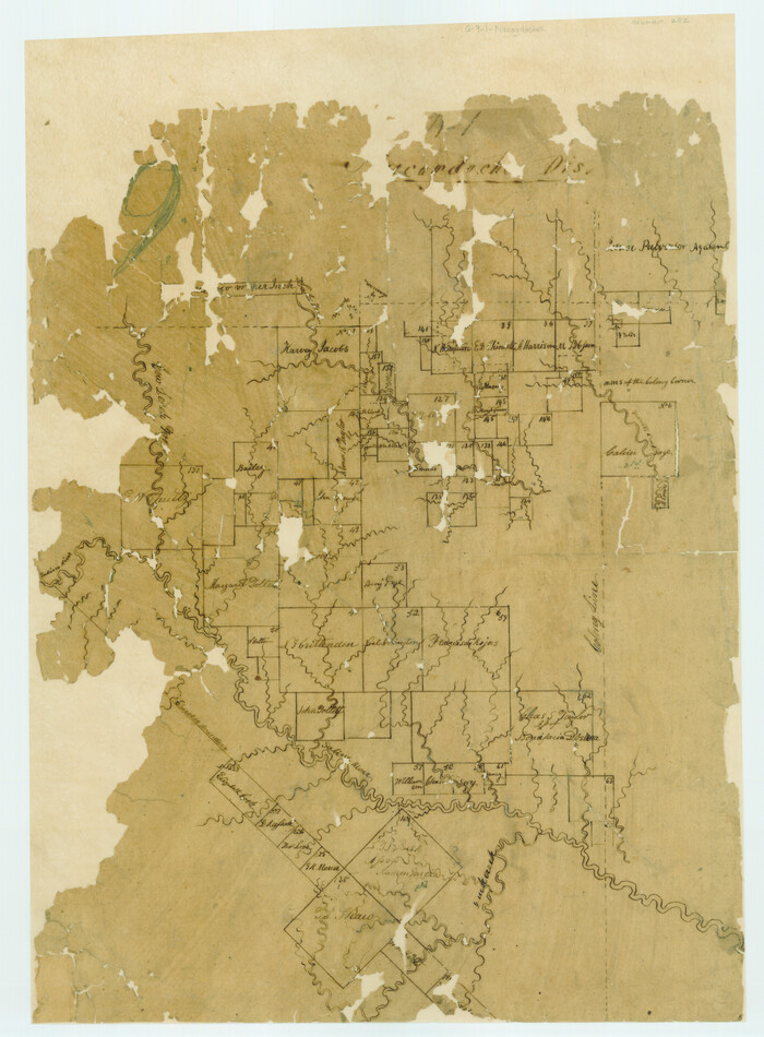
[Surveys in the Nacogdoches District, from the Sabine River to Cowleach Fork]
Print $3.00
- Digital $50.00
[Surveys in the Nacogdoches District, from the Sabine River to Cowleach Fork]
Size: 15.6 x 11.5 inches
282
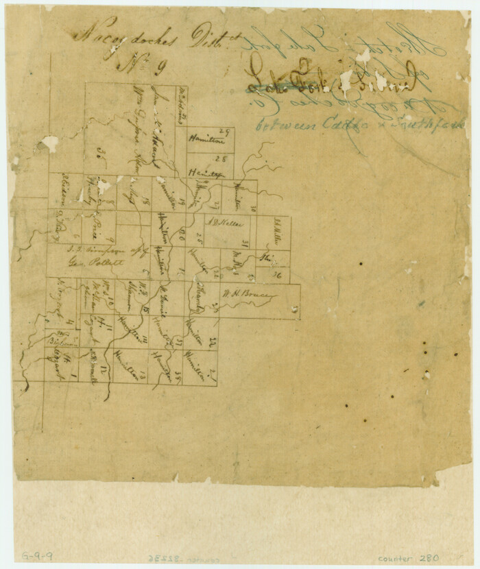
[Surveys between the Caddo River and south fork of the Sabine River]
Print $2.00
- Digital $50.00
[Surveys between the Caddo River and south fork of the Sabine River]
Size: 7.8 x 6.5 inches
280
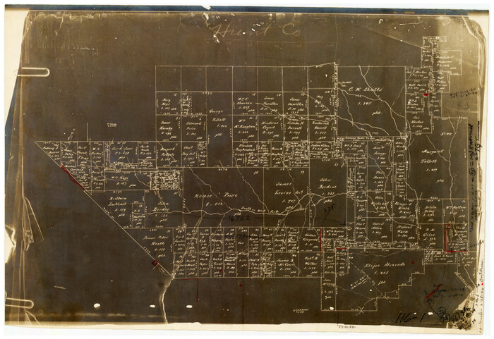
[Rease Price and Surrounding Surveys]
Print $20.00
- Digital $50.00
[Rease Price and Surrounding Surveys]
1924
Size: 18.7 x 12.7 inches
91228
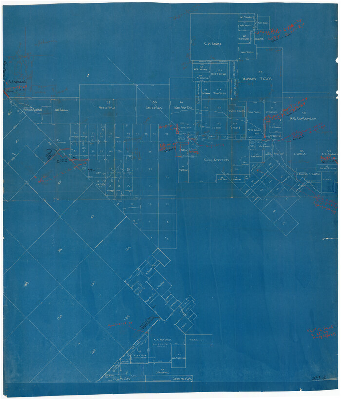
[Northeast part of County]
Print $20.00
- Digital $50.00
[Northeast part of County]
Size: 37.1 x 42.9 inches
89957
[Map of Hunt County]
Print $20.00
- Digital $50.00
[Map of Hunt County]
1851
Size: 21.6 x 19.1 inches
3691
Water-Shed of the Sulphur River in Texas Drainage Area

Print $4.00
- Digital $50.00
Water-Shed of the Sulphur River in Texas Drainage Area
1925
Size: 16.6 x 28.4 inches
65154
University Lands Situated in Robertson County

Print $20.00
- Digital $50.00
University Lands Situated in Robertson County
1841
Size: 22.8 x 26.2 inches
281
Sulphur River, Dunbar Creek Sheet

Print $4.00
- Digital $50.00
Sulphur River, Dunbar Creek Sheet
1941
Size: 17.2 x 20.9 inches
65174
Sabine River, Watershed of the Sabine and Neches Rivers

Print $20.00
- Digital $50.00
Sabine River, Watershed of the Sabine and Neches Rivers
Size: 39.5 x 36.0 inches
65132
Sabine River, Rocky Ford Crossing Sheet/Cowleach Fork of the Sabine River

Print $20.00
- Digital $50.00
Sabine River, Rocky Ford Crossing Sheet/Cowleach Fork of the Sabine River
1936
Size: 38.9 x 29.2 inches
65144
Sabine River, Greenville Sheet/Cowleach Fork of the Sabine River

Print $20.00
- Digital $50.00
Sabine River, Greenville Sheet/Cowleach Fork of the Sabine River
1935
Size: 37.2 x 37.1 inches
65146
Sabine River, Free Bridge Sheet

Print $40.00
- Digital $50.00
Sabine River, Free Bridge Sheet
1936
Size: 27.2 x 50.6 inches
65143
Sabine River, Dixon Sheet/Cowleach Fork of the Sabine River

Print $20.00
- Digital $50.00
Sabine River, Dixon Sheet/Cowleach Fork of the Sabine River
1935
Size: 44.0 x 18.5 inches
65145
Rockwall County Sketch File 8

Print $4.00
Rockwall County Sketch File 8
Size: 7.1 x 10.6 inches
35429
Rockwall County Sketch File 6

Print $4.00
- Digital $50.00
Rockwall County Sketch File 6
1862
Size: 8.5 x 9.4 inches
35425
Rockwall County Sketch File 1

Print $22.00
Rockwall County Sketch File 1
Size: 14.5 x 16.1 inches
35413
Right of Way and Track Map of The Missouri, Kansas & Texas Railway of Texas

Print $40.00
- Digital $50.00
Right of Way and Track Map of The Missouri, Kansas & Texas Railway of Texas
1918
Size: 25.6 x 52.6 inches
64525
Right of Way and Track Map of The Missouri, Kansas & Texas Railway of Texas

Print $40.00
- Digital $50.00
Right of Way and Track Map of The Missouri, Kansas & Texas Railway of Texas
1918
Size: 25.9 x 108.3 inches
64526
Middle Sulphur and South Sulphur Rivers, Horton Sheet

Print $20.00
- Digital $50.00
Middle Sulphur and South Sulphur Rivers, Horton Sheet
1925
Size: 42.2 x 40.3 inches
65171
Middle Sulphur and South Sulphur Rivers, Horton Sheet

Print $20.00
- Digital $50.00
Middle Sulphur and South Sulphur Rivers, Horton Sheet
1925
Size: 25.6 x 22.0 inches
78330
Map of the Recognised Line, M. El. P. & P. RR. from Texas & Arkansas State Line to Milam & Bexar Land District Line

Print $40.00
- Digital $50.00
Map of the Recognised Line, M. El. P. & P. RR. from Texas & Arkansas State Line to Milam & Bexar Land District Line
Size: 15.3 x 89.4 inches
64638
Map of the Recognised Line M. El. P. & P. R.R. from Texas & Arkansas State Line to Milam & Bexar Land District Line

Print $40.00
- Digital $50.00
Map of the Recognised Line M. El. P. & P. R.R. from Texas & Arkansas State Line to Milam & Bexar Land District Line
1856
Size: 14.3 x 89.8 inches
64053
Map of Van Zandt County, Texas

Print $20.00
- Digital $50.00
Map of Van Zandt County, Texas
1879
Size: 20.6 x 21.7 inches
443
Map of University Land part of Fifty League Grant Act of 1839

Print $20.00
- Digital $50.00
Map of University Land part of Fifty League Grant Act of 1839
1905
Size: 40.7 x 28.7 inches
2430
Map of Hunt County

Print $20.00
- Digital $50.00
Map of Hunt County
1851
Size: 25.1 x 18.7 inches
3690
Map of Hunt County

Print $20.00
- Digital $50.00
Map of Hunt County
1851
Size: 27.0 x 19.8 inches
4569
Map of Fannin County

Print $20.00
- Digital $50.00
Map of Fannin County
1845
Size: 34.7 x 36.5 inches
16827
[Surveys in the Nacogdoches District, from the Sabine River to Cowleach Fork]
Print $3.00
- Digital $50.00
[Surveys in the Nacogdoches District, from the Sabine River to Cowleach Fork]
-
Size
15.6 x 11.5 inches
-
Map/Doc
282
[Surveys between the Caddo River and south fork of the Sabine River]
Print $2.00
- Digital $50.00
[Surveys between the Caddo River and south fork of the Sabine River]
-
Size
7.8 x 6.5 inches
-
Map/Doc
280
[Rease Price and Surrounding Surveys]
Print $20.00
- Digital $50.00
[Rease Price and Surrounding Surveys]
1924
-
Size
18.7 x 12.7 inches
-
Map/Doc
91228
-
Creation Date
1924
[Northeast part of County]
Print $20.00
- Digital $50.00
[Northeast part of County]
-
Size
37.1 x 42.9 inches
-
Map/Doc
89957
[Map of Hunt County]
Print $20.00
- Digital $50.00
[Map of Hunt County]
1851
-
Size
21.6 x 19.1 inches
-
Map/Doc
3691
-
Creation Date
1851
Wolfe City, Texas

Print $20.00
Wolfe City, Texas
1891
-
Size
14.5 x 20.5 inches
-
Map/Doc
89215
-
Creation Date
1891
Wolfe City, Texas

Print $20.00
Wolfe City, Texas
1891
-
Size
16.3 x 22.9 inches
-
Map/Doc
93477
-
Creation Date
1891
Water-Shed of the Sulphur River in Texas Drainage Area
Print $4.00
- Digital $50.00
Water-Shed of the Sulphur River in Texas Drainage Area
1925
-
Size
16.6 x 28.4 inches
-
Map/Doc
65154
-
Creation Date
1925
University Lands Situated in Robertson County
Print $20.00
- Digital $50.00
University Lands Situated in Robertson County
1841
-
Size
22.8 x 26.2 inches
-
Map/Doc
281
-
Creation Date
1841
Sulphur River, Dunbar Creek Sheet
Print $4.00
- Digital $50.00
Sulphur River, Dunbar Creek Sheet
1941
-
Size
17.2 x 20.9 inches
-
Map/Doc
65174
-
Creation Date
1941
Sabine River, Watershed of the Sabine and Neches Rivers
Print $20.00
- Digital $50.00
Sabine River, Watershed of the Sabine and Neches Rivers
-
Size
39.5 x 36.0 inches
-
Map/Doc
65132
Sabine River, Rocky Ford Crossing Sheet/Cowleach Fork of the Sabine River
Print $20.00
- Digital $50.00
Sabine River, Rocky Ford Crossing Sheet/Cowleach Fork of the Sabine River
1936
-
Size
38.9 x 29.2 inches
-
Map/Doc
65144
-
Creation Date
1936
Sabine River, Greenville Sheet/Cowleach Fork of the Sabine River
Print $20.00
- Digital $50.00
Sabine River, Greenville Sheet/Cowleach Fork of the Sabine River
1935
-
Size
37.2 x 37.1 inches
-
Map/Doc
65146
-
Creation Date
1935
Sabine River, Free Bridge Sheet
Print $40.00
- Digital $50.00
Sabine River, Free Bridge Sheet
1936
-
Size
27.2 x 50.6 inches
-
Map/Doc
65143
-
Creation Date
1936
Sabine River, Dixon Sheet/Cowleach Fork of the Sabine River
Print $20.00
- Digital $50.00
Sabine River, Dixon Sheet/Cowleach Fork of the Sabine River
1935
-
Size
44.0 x 18.5 inches
-
Map/Doc
65145
-
Creation Date
1935
Rockwall County Sketch File 8
Print $4.00
Rockwall County Sketch File 8
-
Size
7.1 x 10.6 inches
-
Map/Doc
35429
Rockwall County Sketch File 6
Print $4.00
- Digital $50.00
Rockwall County Sketch File 6
1862
-
Size
8.5 x 9.4 inches
-
Map/Doc
35425
-
Creation Date
1862
Rockwall County Sketch File 1
Print $22.00
Rockwall County Sketch File 1
-
Size
14.5 x 16.1 inches
-
Map/Doc
35413
Right of Way and Track Map of The Missouri, Kansas & Texas Railway of Texas
Print $40.00
- Digital $50.00
Right of Way and Track Map of The Missouri, Kansas & Texas Railway of Texas
1918
-
Size
25.6 x 52.6 inches
-
Map/Doc
64525
-
Creation Date
1918
Right of Way and Track Map of The Missouri, Kansas & Texas Railway of Texas
Print $40.00
- Digital $50.00
Right of Way and Track Map of The Missouri, Kansas & Texas Railway of Texas
1918
-
Size
25.9 x 108.3 inches
-
Map/Doc
64526
-
Creation Date
1918
Middle Sulphur and South Sulphur Rivers, Horton Sheet
Print $20.00
- Digital $50.00
Middle Sulphur and South Sulphur Rivers, Horton Sheet
1925
-
Size
42.2 x 40.3 inches
-
Map/Doc
65171
-
Creation Date
1925
Middle Sulphur and South Sulphur Rivers, Horton Sheet
Print $20.00
- Digital $50.00
Middle Sulphur and South Sulphur Rivers, Horton Sheet
1925
-
Size
25.6 x 22.0 inches
-
Map/Doc
78330
-
Creation Date
1925
Map of the Recognised Line, M. El. P. & P. RR. from Texas & Arkansas State Line to Milam & Bexar Land District Line
Print $40.00
- Digital $50.00
Map of the Recognised Line, M. El. P. & P. RR. from Texas & Arkansas State Line to Milam & Bexar Land District Line
-
Size
15.3 x 89.4 inches
-
Map/Doc
64638
Map of the Recognised Line M. El. P. & P. R.R. from Texas & Arkansas State Line to Milam & Bexar Land District Line
Print $40.00
- Digital $50.00
Map of the Recognised Line M. El. P. & P. R.R. from Texas & Arkansas State Line to Milam & Bexar Land District Line
1856
-
Size
14.3 x 89.8 inches
-
Map/Doc
64053
-
Creation Date
1856
Map of Van Zandt County, Texas
Print $20.00
- Digital $50.00
Map of Van Zandt County, Texas
1879
-
Size
20.6 x 21.7 inches
-
Map/Doc
443
-
Creation Date
1879
Map of University Land part of Fifty League Grant Act of 1839
Print $20.00
- Digital $50.00
Map of University Land part of Fifty League Grant Act of 1839
1905
-
Size
40.7 x 28.7 inches
-
Map/Doc
2430
-
Creation Date
1905
Map of Hunt County
Print $20.00
- Digital $50.00
Map of Hunt County
1851
-
Size
25.1 x 18.7 inches
-
Map/Doc
3690
-
Creation Date
1851
Map of Hunt County
Print $20.00
- Digital $50.00
Map of Hunt County
1851
-
Size
27.0 x 19.8 inches
-
Map/Doc
4569
-
Creation Date
1851
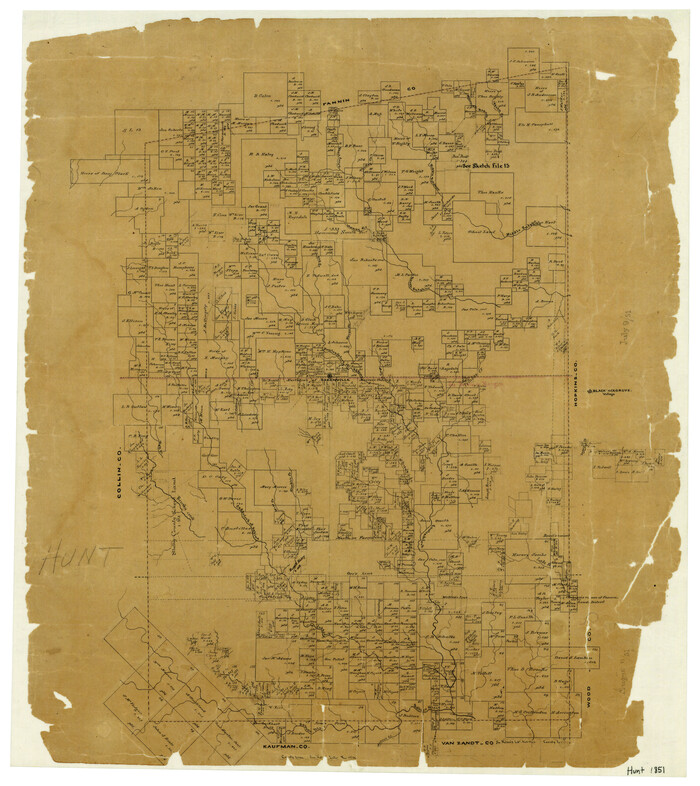
Map of Hunt Co.

Print $40.00
- Digital $50.00
Map of Hunt Co.
1894
-
Size
49.7 x 30.0 inches
-
Map/Doc
16855
-
Creation Date
1894
Map of Fannin County
Print $20.00
- Digital $50.00
Map of Fannin County
1845
-
Size
34.7 x 36.5 inches
-
Map/Doc
16827
-
Creation Date
1845