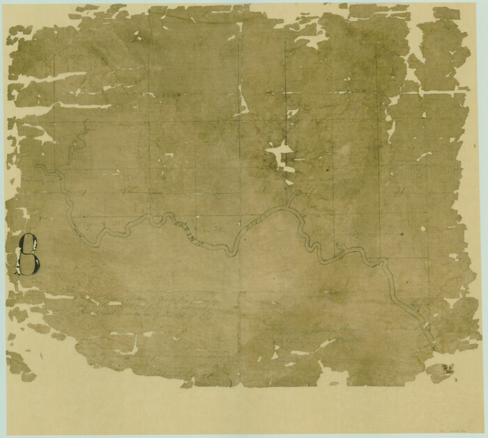
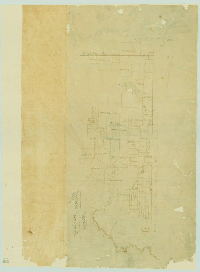
[Surveys near the Sabine River]
Print $20.00
- Digital $50.00
[Surveys near the Sabine River]
1840
Size: 18.8 x 20.9 inches
302
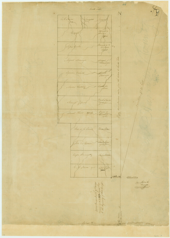
[Surveys near Lake Soda made under G.W. Smyth, Commissioner]
Print $20.00
- Digital $50.00
[Surveys near Lake Soda made under G.W. Smyth, Commissioner]
1835
Size: 16.0 x 19.3 inches
73
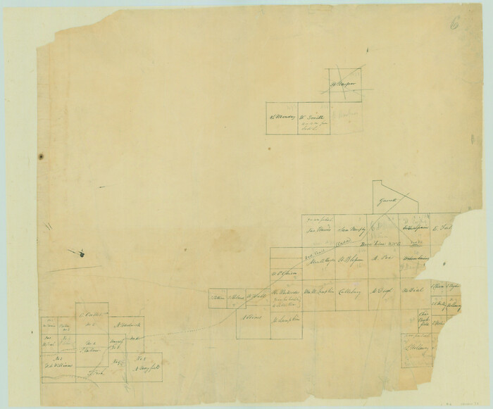
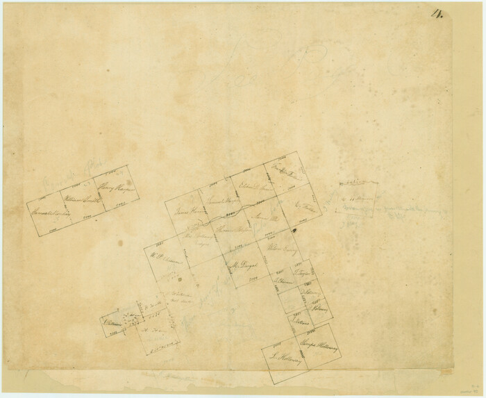
[Surveys between the Sabine and Red Rivers made for titles under Radford Berry, Commissioner]
Print $20.00
- Digital $50.00
[Surveys between the Sabine and Red Rivers made for titles under Radford Berry, Commissioner]
1835
Size: 22.3 x 15.9 inches
14
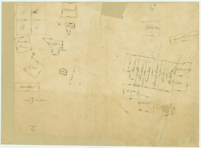
[Surveys along the Sabine River made under G.W. Smyth, Commissioner]
Print $20.00
- Digital $50.00
[Surveys along the Sabine River made under G.W. Smyth, Commissioner]
Size: 12.6 x 17.1 inches
89
[Surveys along the Sabine River made under G.W. Smyth, Commissioner]
Print $20.00
- Digital $50.00
[Surveys along the Sabine River made under G.W. Smyth, Commissioner]
1837
Size: 13.9 x 17.0 inches
90
[Surveys along the Red River, Bois d'Arc Creek, Duck Creek, and Choctaw Bayou made under G.W. Smyth, Commissioner]
Print $20.00
- Digital $50.00
[Surveys along the Red River, Bois d'Arc Creek, Duck Creek, and Choctaw Bayou made under G.W. Smyth, Commissioner]
1834
Size: 19.7 x 16.0 inches
74
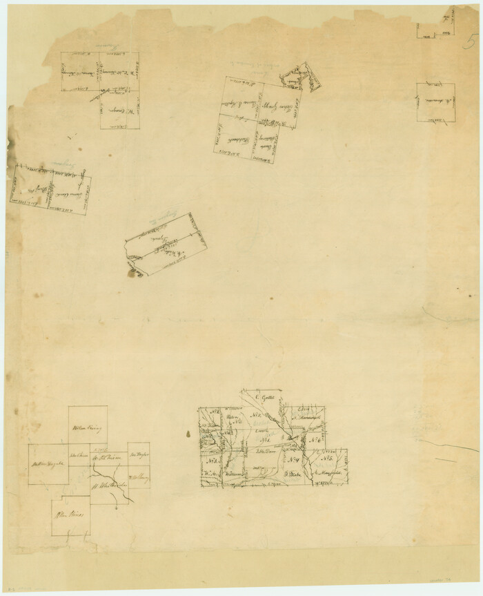
[Surveys along Eight Mile Creek, Harrison District]
Print $3.00
- Digital $50.00
[Surveys along Eight Mile Creek, Harrison District]
Size: 12.6 x 9.3 inches
278
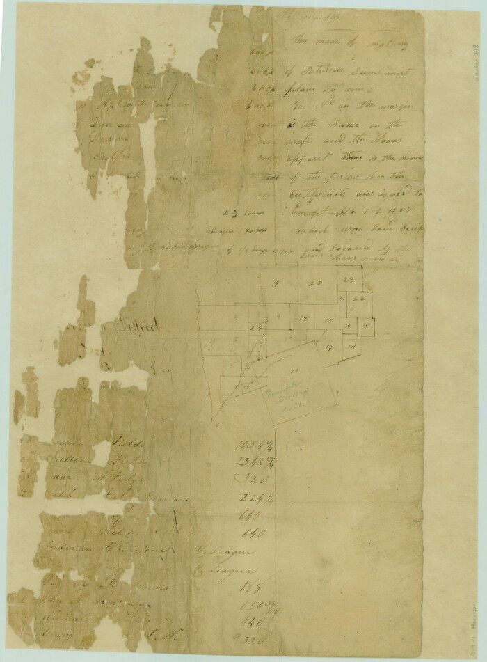
[Portion of Panola Judicial District]
Print $3.00
- Digital $50.00
[Portion of Panola Judicial District]
1841
Size: 17.1 x 10.0 inches
78365
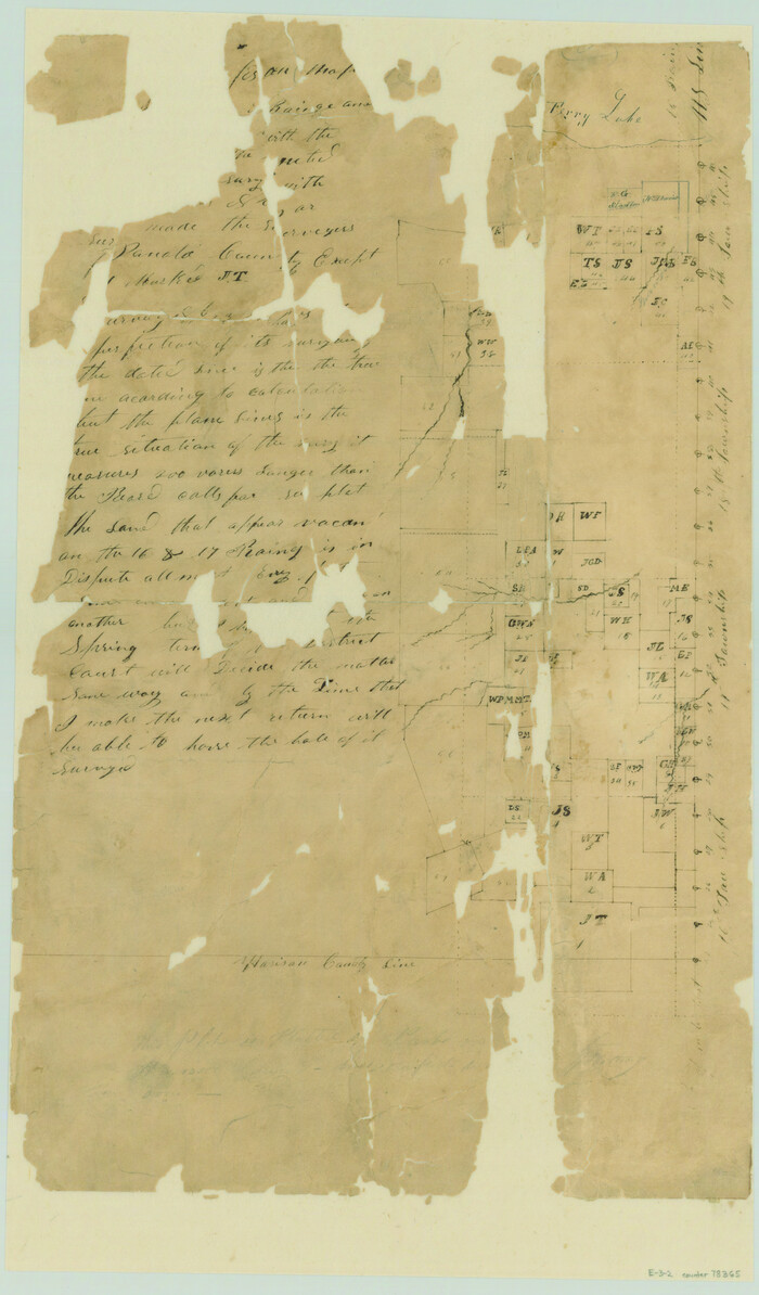
[Portion of Harrison County]
Print $3.00
- Digital $50.00
[Portion of Harrison County]
1841
Size: 15.7 x 11.6 inches
78366
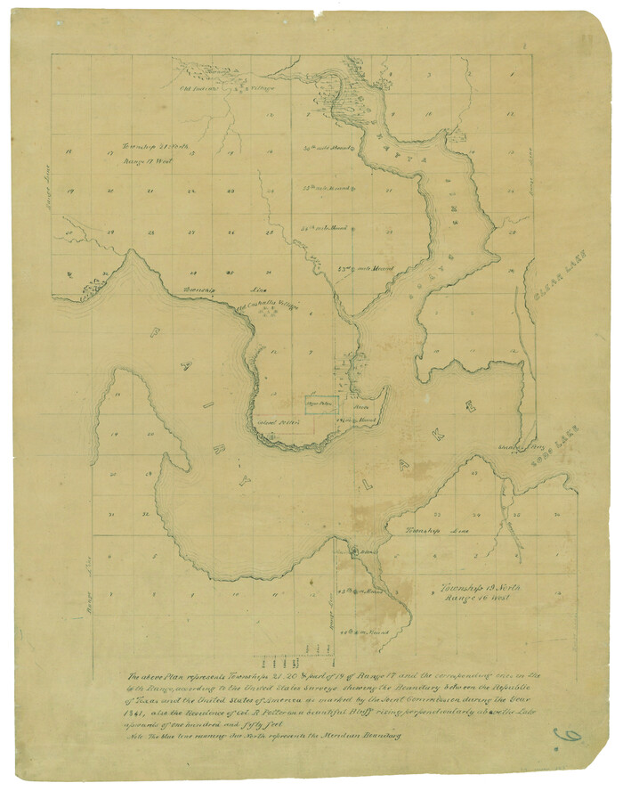
[Map representing Townships 21, 20 and part of 19 of Range 17 and the corresponding ones in the 16th Range, according to the United States surveys showing the Boundary between the Republic of Texas and the United States of America]
Print $20.00
- Digital $50.00
[Map representing Townships 21, 20 and part of 19 of Range 17 and the corresponding ones in the 16th Range, according to the United States surveys showing the Boundary between the Republic of Texas and the United States of America]
1841
Size: 19.5 x 15.4 inches
262
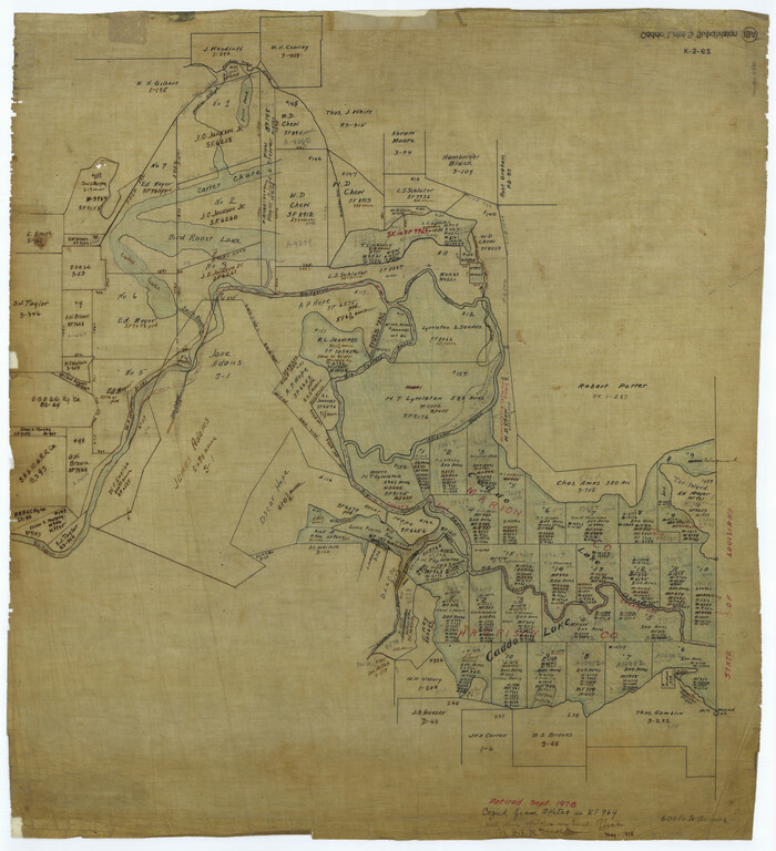
[Caddo Lake & Subdivisions]
Print $20.00
- Digital $50.00
[Caddo Lake & Subdivisions]
1918
Size: 31.3 x 28.6 inches
2896
Upshur County Working Sketch 17

Print $40.00
- Digital $50.00
Upshur County Working Sketch 17
1997
Size: 48.4 x 37.1 inches
69575
Upshur County Sketch File 3a

Print $2.00
- Digital $50.00
Upshur County Sketch File 3a
Size: 6.5 x 7.1 inches
38736
Upshur County Sketch File 19

Print $40.00
- Digital $50.00
Upshur County Sketch File 19
Size: 17.9 x 22.2 inches
12507
Upshur County Sketch File 16

Print $20.00
- Digital $50.00
Upshur County Sketch File 16
1873
Size: 19.1 x 28.0 inches
12506
The Republic County of Harrison. Spring 1842

Print $20.00
The Republic County of Harrison. Spring 1842
2020
Size: 18.6 x 21.7 inches
96173
The Republic County of Harrison. June 24, 1841

Print $20.00
The Republic County of Harrison. June 24, 1841
2020
Size: 18.6 x 21.7 inches
96171
The Republic County of Harrison. January 8, 1844

Print $20.00
The Republic County of Harrison. January 8, 1844
2020
Size: 18.6 x 21.7 inches
96175
The Republic County of Harrison. January 30, 1841

Print $20.00
The Republic County of Harrison. January 30, 1841
2020
Size: 18.8 x 21.7 inches
96170
The Republic County of Harrison. January 16, 1843

Print $20.00
The Republic County of Harrison. January 16, 1843
2020
Size: 18.6 x 21.7 inches
96174
The Republic County of Harrison. February 1, 1842

Print $20.00
The Republic County of Harrison. February 1, 1842
2020
Size: 18.6 x 21.7 inches
96172
The Republic County of Harrison. December 31, 1844

Print $20.00
The Republic County of Harrison. December 31, 1844
2020
Size: 18.6 x 21.7 inches
96176
The Republic County of Harrison. December 29, 1845

Print $20.00
The Republic County of Harrison. December 29, 1845
2020
Size: 18.6 x 21.7 inches
96177
The Republic County of Harrison. Created, January 28, 1839

Print $20.00
The Republic County of Harrison. Created, January 28, 1839
2020
Size: 18.6 x 21.7 inches
96169
Sketch of surveys in Harrison & Marion Cos. showing Caddo Lake & Subdivisions

Print $5.00
- Digital $50.00
Sketch of surveys in Harrison & Marion Cos. showing Caddo Lake & Subdivisions
1955
Size: 32.6 x 32.5 inches
2895
Sketch of surveys in Harrison & Marion Cos. Showing Caddo Lake & Subdivisions

Print $20.00
- Digital $50.00
Sketch of surveys in Harrison & Marion Cos. Showing Caddo Lake & Subdivisions
1955
Size: 32.7 x 33.1 inches
1928
Sketch of surveys in Harrison & Marion Cos. Showing Caddo Lake & Subdivisions

Print $20.00
- Digital $50.00
Sketch of surveys in Harrison & Marion Cos. Showing Caddo Lake & Subdivisions
1955
Size: 33.8 x 32.4 inches
93284
Reconnoissance of Sabine River and Valley

Print $20.00
Reconnoissance of Sabine River and Valley
1863
Size: 42.5 x 30.3 inches
97500
Reconnoissance of Sabine River and Valley

Print $20.00
Reconnoissance of Sabine River and Valley
1863
Size: 42.3 x 30.0 inches
97501
Panola County Working Sketch 6

Print $20.00
- Digital $50.00
Panola County Working Sketch 6
1941
71415
[Surveys near the Sabine River]
Print $20.00
- Digital $50.00
[Surveys near the Sabine River]
1840
-
Size
18.8 x 20.9 inches
-
Map/Doc
302
-
Creation Date
1840
[Surveys near Lake Soda made under G.W. Smyth, Commissioner]
Print $20.00
- Digital $50.00
[Surveys near Lake Soda made under G.W. Smyth, Commissioner]
1835
-
Size
16.0 x 19.3 inches
-
Map/Doc
73
-
Creation Date
1835
[Surveys between the Sabine and Red Rivers made for titles under Radford Berry, Commissioner]
Print $20.00
- Digital $50.00
[Surveys between the Sabine and Red Rivers made for titles under Radford Berry, Commissioner]
1835
-
Size
22.3 x 15.9 inches
-
Map/Doc
14
-
Creation Date
1835
[Surveys along the Sabine River made under G.W. Smyth, Commissioner]
Print $20.00
- Digital $50.00
[Surveys along the Sabine River made under G.W. Smyth, Commissioner]
-
Size
12.6 x 17.1 inches
-
Map/Doc
89
[Surveys along the Sabine River made under G.W. Smyth, Commissioner]
Print $20.00
- Digital $50.00
[Surveys along the Sabine River made under G.W. Smyth, Commissioner]
1837
-
Size
13.9 x 17.0 inches
-
Map/Doc
90
-
Creation Date
1837
[Surveys along the Red River, Bois d'Arc Creek, Duck Creek, and Choctaw Bayou made under G.W. Smyth, Commissioner]
Print $20.00
- Digital $50.00
[Surveys along the Red River, Bois d'Arc Creek, Duck Creek, and Choctaw Bayou made under G.W. Smyth, Commissioner]
1834
-
Size
19.7 x 16.0 inches
-
Map/Doc
74
-
Creation Date
1834
[Surveys along Eight Mile Creek, Harrison District]
Print $3.00
- Digital $50.00
[Surveys along Eight Mile Creek, Harrison District]
-
Size
12.6 x 9.3 inches
-
Map/Doc
278
[Portion of Panola Judicial District]
Print $3.00
- Digital $50.00
[Portion of Panola Judicial District]
1841
-
Size
17.1 x 10.0 inches
-
Map/Doc
78365
-
Creation Date
1841
[Portion of Harrison County]
Print $3.00
- Digital $50.00
[Portion of Harrison County]
1841
-
Size
15.7 x 11.6 inches
-
Map/Doc
78366
-
Creation Date
1841
[Map representing Townships 21, 20 and part of 19 of Range 17 and the corresponding ones in the 16th Range, according to the United States surveys showing the Boundary between the Republic of Texas and the United States of America]
Print $20.00
- Digital $50.00
[Map representing Townships 21, 20 and part of 19 of Range 17 and the corresponding ones in the 16th Range, according to the United States surveys showing the Boundary between the Republic of Texas and the United States of America]
1841
-
Size
19.5 x 15.4 inches
-
Map/Doc
262
-
Creation Date
1841
[Caddo Lake & Subdivisions]
Print $20.00
- Digital $50.00
[Caddo Lake & Subdivisions]
1918
-
Size
31.3 x 28.6 inches
-
Map/Doc
2896
-
Creation Date
1918
Upshur County Working Sketch 17
Print $40.00
- Digital $50.00
Upshur County Working Sketch 17
1997
-
Size
48.4 x 37.1 inches
-
Map/Doc
69575
-
Creation Date
1997
Upshur County Sketch File 3a
Print $2.00
- Digital $50.00
Upshur County Sketch File 3a
-
Size
6.5 x 7.1 inches
-
Map/Doc
38736
Upshur County Sketch File 19
Print $40.00
- Digital $50.00
Upshur County Sketch File 19
-
Size
17.9 x 22.2 inches
-
Map/Doc
12507
Upshur County Sketch File 16
Print $20.00
- Digital $50.00
Upshur County Sketch File 16
1873
-
Size
19.1 x 28.0 inches
-
Map/Doc
12506
-
Creation Date
1873
The Republic County of Harrison. Spring 1842
Print $20.00
The Republic County of Harrison. Spring 1842
2020
-
Size
18.6 x 21.7 inches
-
Map/Doc
96173
-
Creation Date
2020
The Republic County of Harrison. June 24, 1841
Print $20.00
The Republic County of Harrison. June 24, 1841
2020
-
Size
18.6 x 21.7 inches
-
Map/Doc
96171
-
Creation Date
2020
The Republic County of Harrison. January 8, 1844
Print $20.00
The Republic County of Harrison. January 8, 1844
2020
-
Size
18.6 x 21.7 inches
-
Map/Doc
96175
-
Creation Date
2020
The Republic County of Harrison. January 30, 1841
Print $20.00
The Republic County of Harrison. January 30, 1841
2020
-
Size
18.8 x 21.7 inches
-
Map/Doc
96170
-
Creation Date
2020
The Republic County of Harrison. January 16, 1843
Print $20.00
The Republic County of Harrison. January 16, 1843
2020
-
Size
18.6 x 21.7 inches
-
Map/Doc
96174
-
Creation Date
2020
The Republic County of Harrison. February 1, 1842
Print $20.00
The Republic County of Harrison. February 1, 1842
2020
-
Size
18.6 x 21.7 inches
-
Map/Doc
96172
-
Creation Date
2020
The Republic County of Harrison. December 31, 1844
Print $20.00
The Republic County of Harrison. December 31, 1844
2020
-
Size
18.6 x 21.7 inches
-
Map/Doc
96176
-
Creation Date
2020
The Republic County of Harrison. December 29, 1845
Print $20.00
The Republic County of Harrison. December 29, 1845
2020
-
Size
18.6 x 21.7 inches
-
Map/Doc
96177
-
Creation Date
2020
The Republic County of Harrison. Created, January 28, 1839
Print $20.00
The Republic County of Harrison. Created, January 28, 1839
2020
-
Size
18.6 x 21.7 inches
-
Map/Doc
96169
-
Creation Date
2020
Sketch of surveys in Harrison & Marion Cos. showing Caddo Lake & Subdivisions
Print $5.00
- Digital $50.00
Sketch of surveys in Harrison & Marion Cos. showing Caddo Lake & Subdivisions
1955
-
Size
32.6 x 32.5 inches
-
Map/Doc
2895
-
Creation Date
1955
Sketch of surveys in Harrison & Marion Cos. Showing Caddo Lake & Subdivisions
Print $20.00
- Digital $50.00
Sketch of surveys in Harrison & Marion Cos. Showing Caddo Lake & Subdivisions
1955
-
Size
32.7 x 33.1 inches
-
Map/Doc
1928
-
Creation Date
1955
Sketch of surveys in Harrison & Marion Cos. Showing Caddo Lake & Subdivisions
Print $20.00
- Digital $50.00
Sketch of surveys in Harrison & Marion Cos. Showing Caddo Lake & Subdivisions
1955
-
Size
33.8 x 32.4 inches
-
Map/Doc
93284
-
Creation Date
1955
Reconnoissance of Sabine River and Valley
Print $20.00
Reconnoissance of Sabine River and Valley
1863
-
Size
42.5 x 30.3 inches
-
Map/Doc
97500
-
Creation Date
1863
Reconnoissance of Sabine River and Valley
Print $20.00
Reconnoissance of Sabine River and Valley
1863
-
Size
42.3 x 30.0 inches
-
Map/Doc
97501
-
Creation Date
1863
Panola County Working Sketch 6
Print $20.00
- Digital $50.00
Panola County Working Sketch 6
1941
-
Map/Doc
71415
-
Creation Date
1941