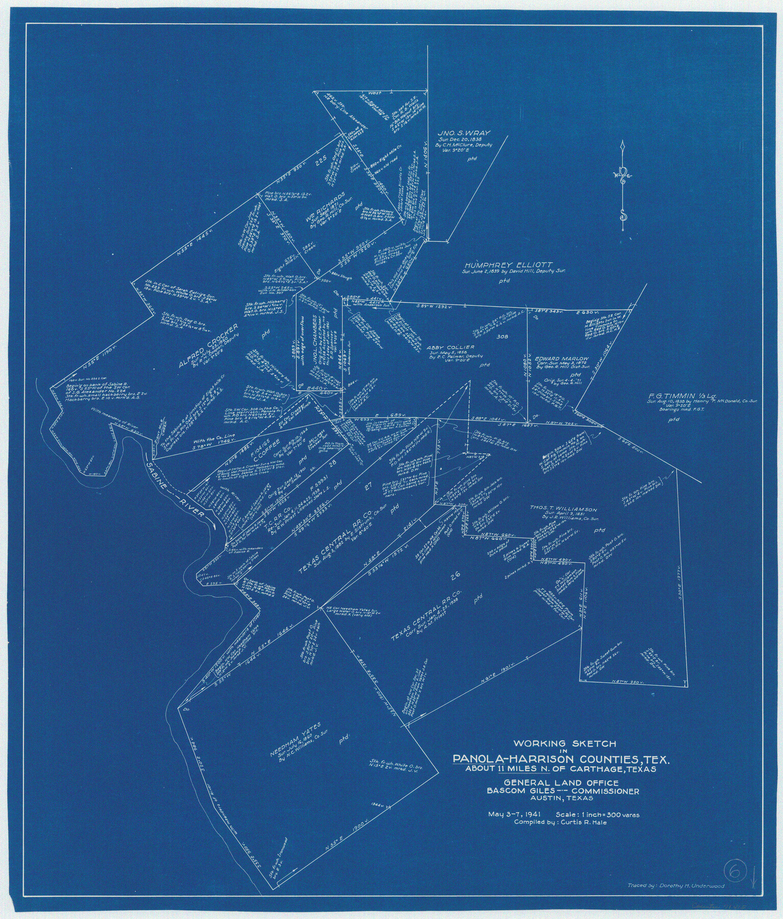
Panola County Working Sketch 6
-
Map/Doc
71415
-
Collection
General Map Collection
-
Object Dates
5/3-7/1941 (Creation Date)
-
People and Organizations
Curtis R. Hale (Draftsman)
Dorothy H. Underwood (Tracer)
-
Counties
Panola Harrison
-
Subjects
Surveying Working Sketch
-
Scale
1" = 300 varas
Part of: General Map Collection

Fannin County Boundary File 7

Print $42.00
- Digital $50.00
Fannin County Boundary File 7
Size 5.3 x 31.1 inches
Map/Doc 53313
Flight Mission No. BRA-8M, Frame 119, Jefferson County

Print $20.00
- Digital $50.00
Flight Mission No. BRA-8M, Frame 119, Jefferson County
1953
Size 18.4 x 22.2 inches
Map/Doc 85615
Robertson County Rolled Sketch 2

Print $43.00
- Digital $50.00
Robertson County Rolled Sketch 2
1974
Size 9.6 x 15.1 inches
Map/Doc 48861
Houston County State Real Property Sketch 1

Print $20.00
- Digital $50.00
Houston County State Real Property Sketch 1
1997
Size 35.5 x 24.4 inches
Map/Doc 80129
Flight Mission No. BRA-17M, Frame 15, Jefferson County

Print $20.00
- Digital $50.00
Flight Mission No. BRA-17M, Frame 15, Jefferson County
1953
Size 18.5 x 22.3 inches
Map/Doc 85796
Irion County Working Sketch Graphic Index

Print $20.00
- Digital $50.00
Irion County Working Sketch Graphic Index
1944
Size 44.0 x 40.9 inches
Map/Doc 76588
Aransas County Sketch File 2a

Print $4.00
- Digital $50.00
Aransas County Sketch File 2a
1868
Size 9.3 x 7.7 inches
Map/Doc 13102
Angelina County Working Sketch 36

Print $20.00
- Digital $50.00
Angelina County Working Sketch 36
1957
Size 14.4 x 18.3 inches
Map/Doc 67119
Aransas County Boundary File 4

Print $30.00
- Digital $50.00
Aransas County Boundary File 4
Size 9.2 x 7.8 inches
Map/Doc 49790
Wichita County Working Sketch 26

Print $20.00
- Digital $50.00
Wichita County Working Sketch 26
1981
Size 13.1 x 21.0 inches
Map/Doc 72536
Martin County Rolled Sketch 7

Print $20.00
- Digital $50.00
Martin County Rolled Sketch 7
1929
Size 23.0 x 31.2 inches
Map/Doc 6667
You may also like
Flight Mission No. DQO-2K, Frame 100, Galveston County

Print $20.00
- Digital $50.00
Flight Mission No. DQO-2K, Frame 100, Galveston County
1952
Size 18.7 x 22.4 inches
Map/Doc 85027
Pecos County Sketch File 76A

Print $20.00
- Digital $50.00
Pecos County Sketch File 76A
Size 16.1 x 18.3 inches
Map/Doc 12182
Flight Mission No. DQN-5K, Frame 144, Calhoun County

Print $20.00
- Digital $50.00
Flight Mission No. DQN-5K, Frame 144, Calhoun County
1953
Size 18.6 x 22.3 inches
Map/Doc 84419
Coke County Working Sketch 23

Print $20.00
- Digital $50.00
Coke County Working Sketch 23
1954
Size 42.4 x 35.7 inches
Map/Doc 68060
Schleicher County Sketch File 14

Print $12.00
- Digital $50.00
Schleicher County Sketch File 14
1917
Size 12.9 x 8.3 inches
Map/Doc 36498
Crosby Co. Sketch

Print $20.00
- Digital $50.00
Crosby Co. Sketch
1904
Size 21.2 x 24.4 inches
Map/Doc 90349
Bastrop County Sketch File 7

Print $40.00
- Digital $50.00
Bastrop County Sketch File 7
Size 13.2 x 12.4 inches
Map/Doc 14052
Texas Intracoastal Waterway - Laguna Madre - Dagger Hill to Potrero Grande

Print $20.00
- Digital $50.00
Texas Intracoastal Waterway - Laguna Madre - Dagger Hill to Potrero Grande
1956
Size 38.6 x 27.2 inches
Map/Doc 73509
Map of Coleman County

Print $40.00
- Digital $50.00
Map of Coleman County
1897
Size 49.9 x 34.2 inches
Map/Doc 4741
Tarrant County

Print $40.00
- Digital $50.00
Tarrant County
1942
Size 48.6 x 37.8 inches
Map/Doc 73298
Map of Texas coastal area showing submerged area to which counties along the Gulf of Mexico are entitled

Print $20.00
- Digital $50.00
Map of Texas coastal area showing submerged area to which counties along the Gulf of Mexico are entitled
1939
Size 28.3 x 44.2 inches
Map/Doc 3105
Somervell County

Print $20.00
- Digital $50.00
Somervell County
1884
Size 29.5 x 31.3 inches
Map/Doc 63041