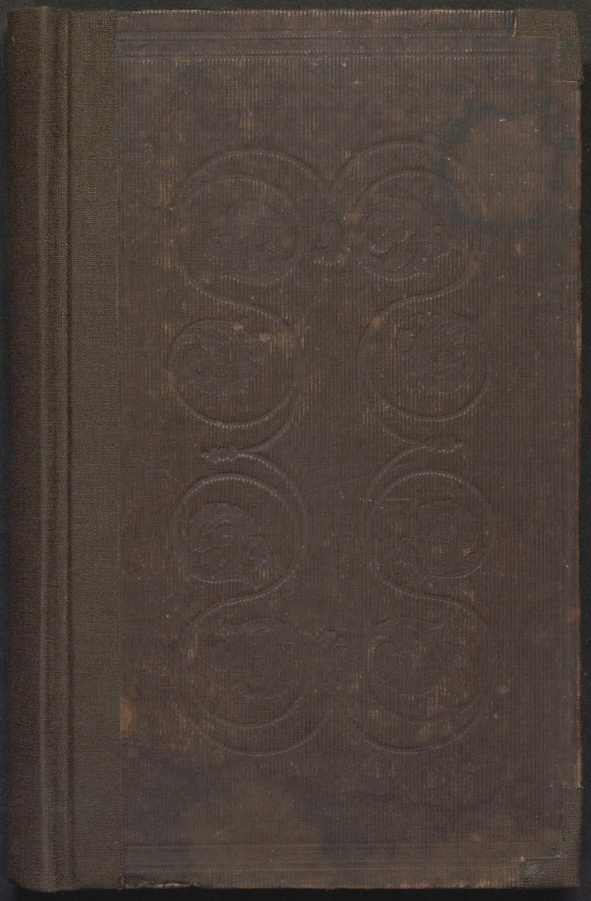
Texas in 1840, or the Emigrant's Guide to the New Republic; being the result of observation, enquiry and travel in that beautiful country
-
Map/Doc
97198
-
Collection
General Map Collection
-
Object Dates
1840 (Creation Date)
-
People and Organizations
A.B. Lawrence (Author)
William W. Allen (Publisher)
-
Subjects
Bound Volume Republic of Texas
-
Medium
paper, bound volume
Part of: General Map Collection
Amistad International Reservoir on Rio Grande 89a

Print $20.00
- Digital $50.00
Amistad International Reservoir on Rio Grande 89a
1949
Size 28.6 x 40.1 inches
Map/Doc 75518
Duval County Sketch File 32b
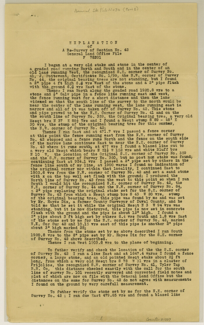

Print $6.00
- Digital $50.00
Duval County Sketch File 32b
Size 14.2 x 8.9 inches
Map/Doc 21339
Flight Mission No. DCL-7C, Frame 145, Kenedy County


Print $20.00
- Digital $50.00
Flight Mission No. DCL-7C, Frame 145, Kenedy County
1943
Size 18.6 x 22.5 inches
Map/Doc 86102
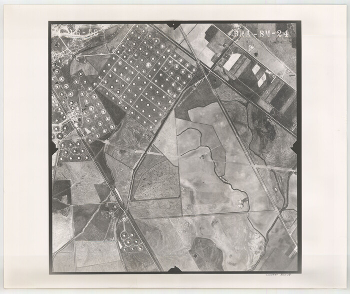
Flight Mission No. BRA-8M, Frame 24, Jefferson County

Print $20.00
- Digital $50.00
Flight Mission No. BRA-8M, Frame 24, Jefferson County
1953
Size 18.7 x 22.3 inches
Map/Doc 85579
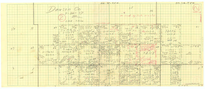
Dawson County Working Sketch 2

Print $20.00
- Digital $50.00
Dawson County Working Sketch 2
1937
Size 8.8 x 20.3 inches
Map/Doc 68546
[Surveys along the Nueces River in San Patricio County]
![69737, [Surveys along the Nueces River in San Patricio County], General Map Collection](https://historictexasmaps.com/wmedia_w700/maps/69737.tif.jpg)
![69737, [Surveys along the Nueces River in San Patricio County], General Map Collection](https://historictexasmaps.com/wmedia_w700/maps/69737.tif.jpg)
Print $2.00
- Digital $50.00
[Surveys along the Nueces River in San Patricio County]
1842
Size 8.8 x 9.9 inches
Map/Doc 69737
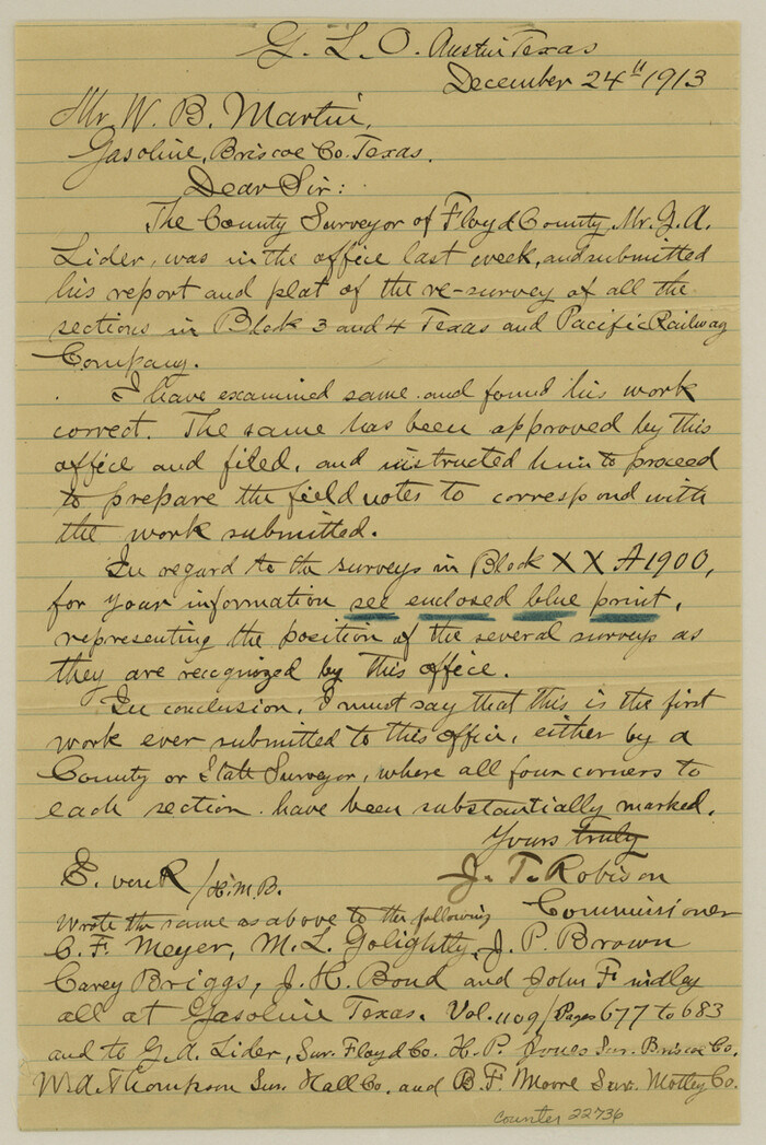
Floyd County Sketch File 15

Print $12.00
- Digital $50.00
Floyd County Sketch File 15
1913
Size 10.9 x 7.3 inches
Map/Doc 22736
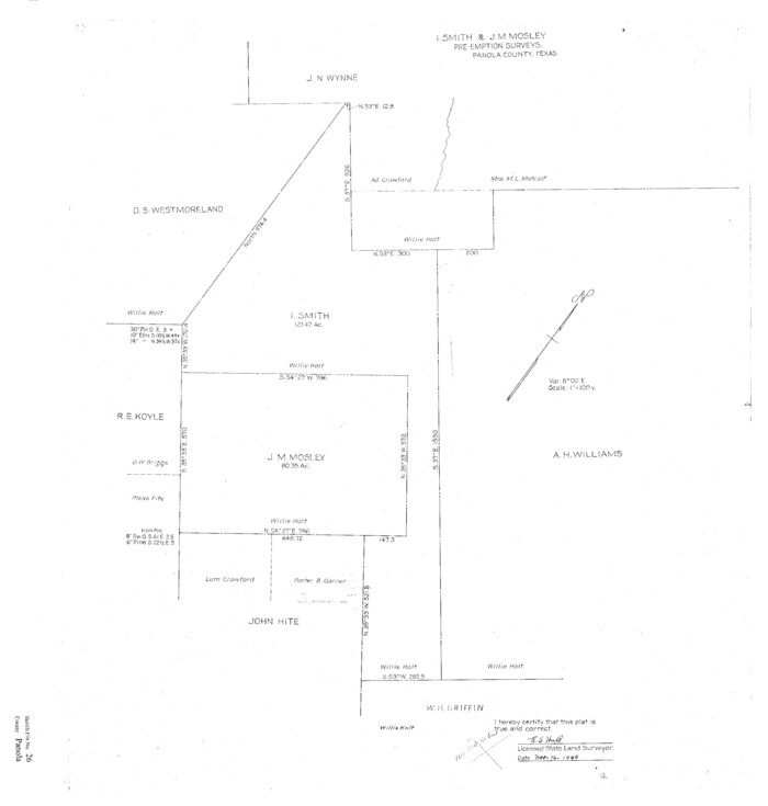
Panola County Sketch File 26

Print $20.00
- Digital $50.00
Panola County Sketch File 26
1944
Size 28.5 x 27.1 inches
Map/Doc 12141
Liberty County Rolled Sketch WC

Print $107.00
- Digital $50.00
Liberty County Rolled Sketch WC
1934
Size 10.4 x 15.3 inches
Map/Doc 46561
Roberts County Working Sketch 21


Print $20.00
- Digital $50.00
Roberts County Working Sketch 21
1979
Size 35.7 x 45.6 inches
Map/Doc 63547
Galveston Entrance, Texas From a Trigonometrical Survey Under the direction of A.D. Bache Superintendent of the Survey of the Coast of the United States


Print $20.00
- Digital $50.00
Galveston Entrance, Texas From a Trigonometrical Survey Under the direction of A.D. Bache Superintendent of the Survey of the Coast of the United States
1853
Size 15.9 x 19.3 inches
Map/Doc 93998
You may also like
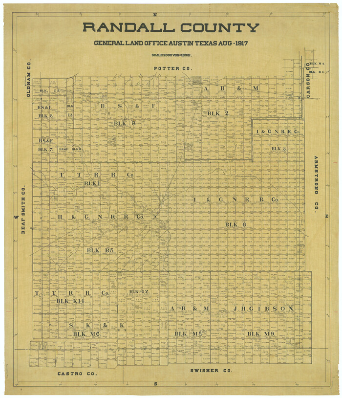
Randall County

Print $20.00
- Digital $50.00
Randall County
1917
Size 45.2 x 38.9 inches
Map/Doc 73339
Working Sketch in Potter & Moore Counties


Print $40.00
- Digital $50.00
Working Sketch in Potter & Moore Counties
1919
Size 54.1 x 43.5 inches
Map/Doc 89721
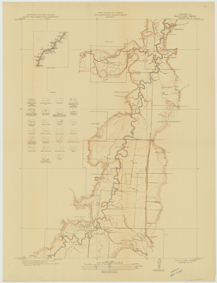
Red River, Bois D'Arc Creek Floodway Sheet No. 3

Print $20.00
- Digital $50.00
Red River, Bois D'Arc Creek Floodway Sheet No. 3
1917
Size 28.8 x 22.0 inches
Map/Doc 69658
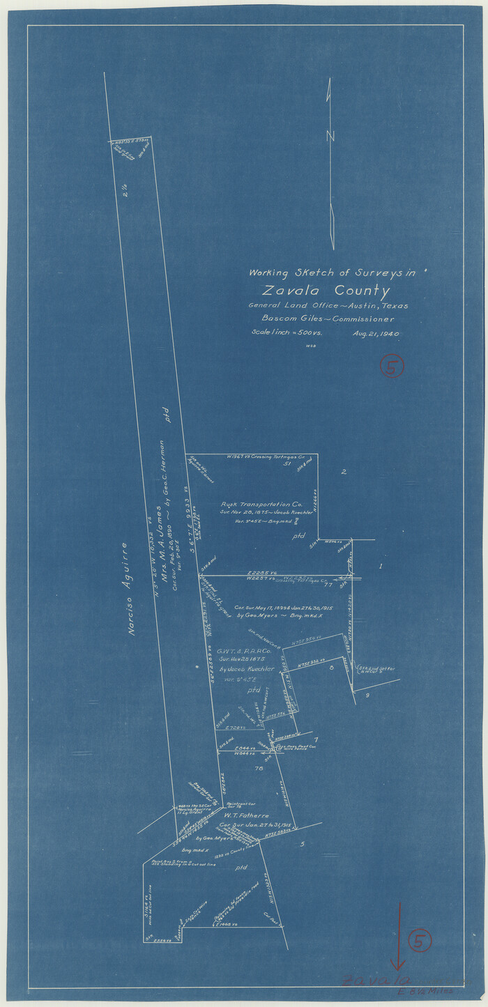
Zavala County Working Sketch 5

Print $20.00
- Digital $50.00
Zavala County Working Sketch 5
1940
Size 29.6 x 14.3 inches
Map/Doc 62080
Eastland County Sketch File 12
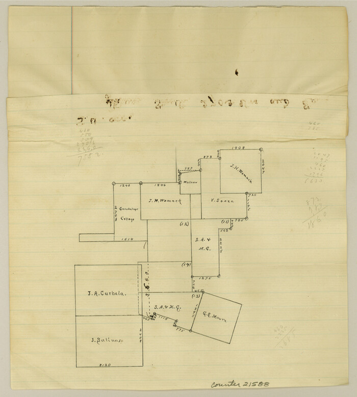

Print $10.00
- Digital $50.00
Eastland County Sketch File 12
1879
Size 9.3 x 8.4 inches
Map/Doc 21588
Flight Mission No. DAG-17K, Frame 76, Matagorda County


Print $20.00
- Digital $50.00
Flight Mission No. DAG-17K, Frame 76, Matagorda County
1952
Size 16.6 x 16.6 inches
Map/Doc 86335
Flight Mission No. DQN-5K, Frame 56, Calhoun County


Print $20.00
- Digital $50.00
Flight Mission No. DQN-5K, Frame 56, Calhoun County
1953
Size 15.7 x 15.5 inches
Map/Doc 84399
John H. Wills' Official Map of Amarillo, Potter Counter, Texas


Print $40.00
- Digital $50.00
John H. Wills' Official Map of Amarillo, Potter Counter, Texas
1909
Size 48.9 x 45.4 inches
Map/Doc 93118
Bowie County Rolled Sketch 6A


Print $20.00
- Digital $50.00
Bowie County Rolled Sketch 6A
1992
Size 11.3 x 17.8 inches
Map/Doc 5162
[Military surveys on headwaters of Red River]
![3099, [Military surveys on headwaters of Red River], General Map Collection](https://historictexasmaps.com/wmedia_w700/maps/3099-1.tif.jpg)
![3099, [Military surveys on headwaters of Red River], General Map Collection](https://historictexasmaps.com/wmedia_w700/maps/3099-1.tif.jpg)
Print $20.00
- Digital $50.00
[Military surveys on headwaters of Red River]
1878
Size 31.6 x 39.0 inches
Map/Doc 3099
Dallas County Rolled Sketch 5
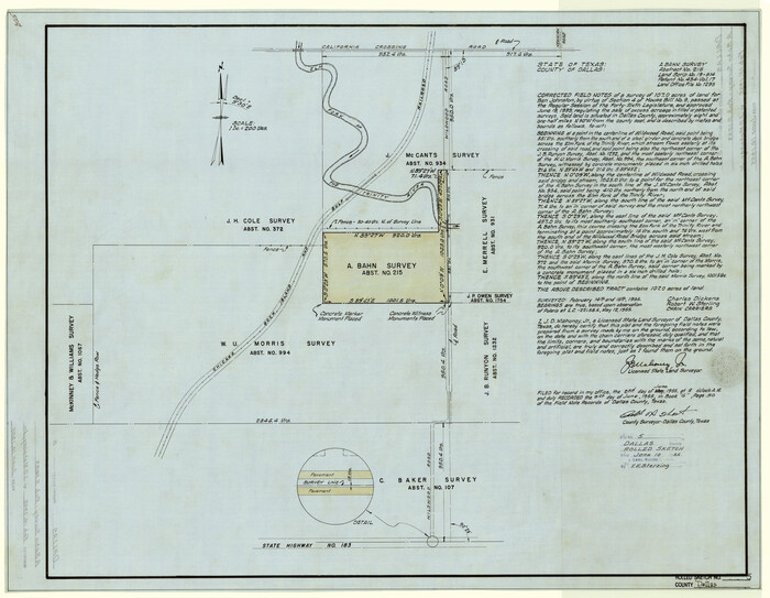

Print $20.00
- Digital $50.00
Dallas County Rolled Sketch 5
1955
Size 23.8 x 30.8 inches
Map/Doc 5689
San Saba County Working Sketch 14
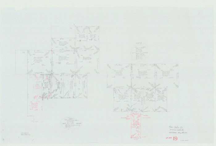

Print $20.00
- Digital $50.00
San Saba County Working Sketch 14
1998
Size 29.0 x 42.8 inches
Map/Doc 63802
