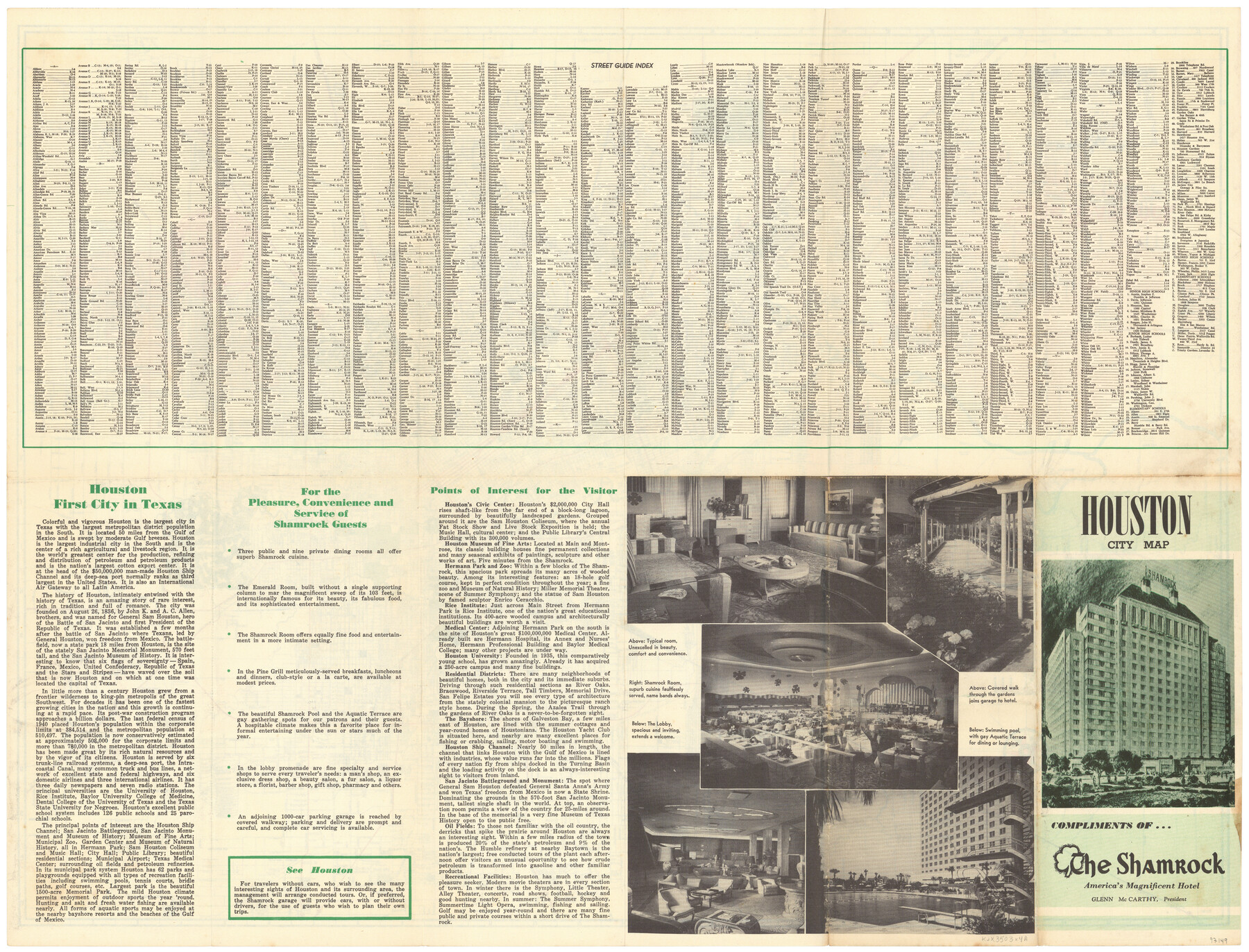
Ashburn's Houston City Map
-
Map/Doc
97149
-
Collection
General Map Collection
-
Object Dates
1950 (Creation Date)
1950 (Copyright Date)
-
People and Organizations
J. Foster Ashburn (Publisher)
-
Subjects
City
-
Height x Width
19.2 x 25.2 inches
48.8 x 64.0 cm
-
Comments
Originally folded in a brochure format titled "Houston City Map" and provided compliments of The Shamrock Hotel.
Verso of map 97148.
Copyrighted and unavailable for duplication. Posted for research only.
Related maps

Part of: General Map Collection
Upton County Sketch File 30

Print $5.00
- Digital $50.00
Upton County Sketch File 30
1887
Size 21.0 x 31.6 inches
Map/Doc 12522
Leon County Rolled Sketch 31A

Print $20.00
- Digital $50.00
Leon County Rolled Sketch 31A
1995
Size 38.9 x 15.4 inches
Map/Doc 6615
Val Verde County Rolled Sketch 71

Print $20.00
- Digital $50.00
Val Verde County Rolled Sketch 71
1958
Size 19.5 x 19.5 inches
Map/Doc 8133
Flight Mission No. DCL-7C, Frame 133, Kenedy County

Print $20.00
- Digital $50.00
Flight Mission No. DCL-7C, Frame 133, Kenedy County
1943
Size 15.4 x 15.2 inches
Map/Doc 86090
Haskell County Sketch File 25

Print $20.00
- Digital $50.00
Haskell County Sketch File 25
1888
Size 16.8 x 21.8 inches
Map/Doc 11748
Live Oak County Sketch File 35

Print $12.00
- Digital $50.00
Live Oak County Sketch File 35
1969
Size 11.0 x 8.7 inches
Map/Doc 30339
Nueces County Sketch File 8

Print $22.00
- Digital $50.00
Nueces County Sketch File 8
1849
Size 8.2 x 12.4 inches
Map/Doc 32512
Wichita County Working Sketch 13

Print $20.00
- Digital $50.00
Wichita County Working Sketch 13
Size 16.5 x 32.8 inches
Map/Doc 72523
Webb County Sketch File 17

Print $20.00
- Digital $50.00
Webb County Sketch File 17
Size 13.5 x 15.4 inches
Map/Doc 12636
Wise County Working Sketch 30

Print $20.00
- Digital $50.00
Wise County Working Sketch 30
Size 39.2 x 34.3 inches
Map/Doc 72644
Hale County Sketch File 13

Print $20.00
- Digital $50.00
Hale County Sketch File 13
Size 36.5 x 23.0 inches
Map/Doc 10470
Marion County Rolled Sketch 2

Print $20.00
- Digital $50.00
Marion County Rolled Sketch 2
1954
Size 34.8 x 45.9 inches
Map/Doc 46621
You may also like
Runnels County Rolled Sketch 54

Print $20.00
- Digital $50.00
Runnels County Rolled Sketch 54
Size 11.5 x 18.2 inches
Map/Doc 82576
Map of Texas coastal area showing submerged area to which counties along the Gulf of Mexico are entitled

Print $20.00
- Digital $50.00
Map of Texas coastal area showing submerged area to which counties along the Gulf of Mexico are entitled
1939
Size 28.3 x 44.2 inches
Map/Doc 3105
Liberty County Working Sketch 18

Print $20.00
- Digital $50.00
Liberty County Working Sketch 18
1939
Size 20.5 x 20.4 inches
Map/Doc 70477
Presidio County Sketch File 119

Print $14.00
- Digital $50.00
Presidio County Sketch File 119
1996
Size 14.3 x 9.0 inches
Map/Doc 34927
Brewster County Rolled Sketch 53

Print $20.00
- Digital $50.00
Brewster County Rolled Sketch 53
1934
Size 43.8 x 37.6 inches
Map/Doc 8480
Flight Mission No. BQR-9K, Frame 54, Brazoria County

Print $20.00
- Digital $50.00
Flight Mission No. BQR-9K, Frame 54, Brazoria County
1952
Size 18.5 x 22.3 inches
Map/Doc 84058
McMullen County Working Sketch 8

Print $20.00
- Digital $50.00
McMullen County Working Sketch 8
1936
Size 27.2 x 33.0 inches
Map/Doc 70709
Smith County Sketch File 19

Print $42.00
- Digital $50.00
Smith County Sketch File 19
1850
Size 8.1 x 13.0 inches
Map/Doc 36794
Levelland, Hockley County, Texas

Print $20.00
- Digital $50.00
Levelland, Hockley County, Texas
1950
Size 13.1 x 14.9 inches
Map/Doc 92241
[Fort Worth & Rio Grande Ry.] Map, Tracings of Located Line, Dublin to Comanche
![64353, [Fort Worth & Rio Grande Ry.] Map, Tracings of Located Line, Dublin to Comanche, General Map Collection](https://historictexasmaps.com/wmedia_w700/maps/64353.tif.jpg)
Print $20.00
- Digital $50.00
[Fort Worth & Rio Grande Ry.] Map, Tracings of Located Line, Dublin to Comanche
Size 15.3 x 41.6 inches
Map/Doc 64353
United States Mileage Chart / United States Mileage Table / Hawaii / Alaska

United States Mileage Chart / United States Mileage Table / Hawaii / Alaska
Size 26.5 x 38.1 inches
Map/Doc 96820
Map of Eastern Portion G.C. & S.F.R.R.Co., Block 194

Print $20.00
- Digital $50.00
Map of Eastern Portion G.C. & S.F.R.R.Co., Block 194
Size 35.6 x 26.8 inches
Map/Doc 92421