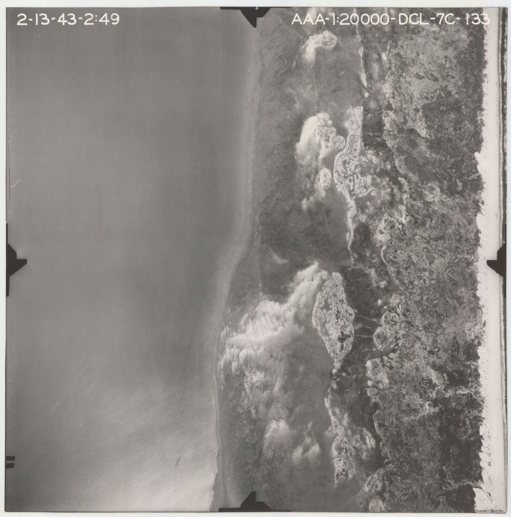
Flight Mission No. DCL-7C, Frame 133, Kenedy County
DCL-7C-133
-
Map/Doc
86090
-
Collection
General Map Collection
-
Object Dates
1943/2/13 (Creation Date)
-
People and Organizations
U. S. Department of Agriculture (Publisher)
-
Counties
Kenedy
-
Subjects
Aerial Photograph
-
Height x Width
15.4 x 15.2 inches
39.1 x 38.6 cm
-
Comments
Flown by Aerial Surveys of Pittsburgh, Inc. of Pittsburgh, Pennsylvania.
Part of: General Map Collection
Sketch of a portion of the Texas Coast showing the relative positions of different harbours with the interior Military Posts, and the roads communicating with them, also two new routes from Black Point and Lamar to San Antonio

Print $20.00
- Digital $50.00
Sketch of a portion of the Texas Coast showing the relative positions of different harbours with the interior Military Posts, and the roads communicating with them, also two new routes from Black Point and Lamar to San Antonio
1855
Size 27.3 x 18.3 inches
Map/Doc 72709
Hidalgo County Sketch File 4

Print $20.00
- Digital $50.00
Hidalgo County Sketch File 4
Size 21.4 x 25.2 inches
Map/Doc 11760
Pecos County Working Sketch 21

Print $20.00
- Digital $50.00
Pecos County Working Sketch 21
1925
Size 27.3 x 29.0 inches
Map/Doc 71491
Armstrong County Working Sketch 11

Print $20.00
- Digital $50.00
Armstrong County Working Sketch 11
2025
Map/Doc 97507
Burnet County Sketch File 24

Print $8.00
- Digital $50.00
Burnet County Sketch File 24
1872
Size 7.9 x 10.2 inches
Map/Doc 16721
Hale County Rolled Sketch 10

Print $40.00
- Digital $50.00
Hale County Rolled Sketch 10
Size 52.8 x 56.6 inches
Map/Doc 9096
Wilbarger County Rolled Sketch 8

Print $20.00
- Digital $50.00
Wilbarger County Rolled Sketch 8
1965
Size 22.0 x 18.9 inches
Map/Doc 8257
Jim Wells County Working Sketch Graphic Index

Print $20.00
- Digital $50.00
Jim Wells County Working Sketch Graphic Index
1966
Size 41.7 x 29.5 inches
Map/Doc 76597
Val Verde County Working Sketch 81

Print $20.00
- Digital $50.00
Val Verde County Working Sketch 81
1973
Size 24.6 x 41.7 inches
Map/Doc 72216
San Patricio County Rolled Sketch 33

Print $141.00
- Digital $50.00
San Patricio County Rolled Sketch 33
Size 10.2 x 15.0 inches
Map/Doc 48874
Val Verde County

Print $20.00
- Digital $50.00
Val Verde County
1944
Size 42.0 x 37.0 inches
Map/Doc 63103
Kerr County Sketch File 7

Print $4.00
- Digital $50.00
Kerr County Sketch File 7
1881
Size 8.8 x 15.7 inches
Map/Doc 28869
You may also like

Knox County Rolled Sketch 23

Print $20.00
- Digital $50.00
Knox County Rolled Sketch 23
1989
Size 34.4 x 29.0 inches
Map/Doc 76408
Mason County Boundary File 5a

Print $40.00
- Digital $50.00
Mason County Boundary File 5a
Size 18.0 x 32.6 inches
Map/Doc 56872
Borden County Boundary File 5a

Print $98.00
- Digital $50.00
Borden County Boundary File 5a
Size 13.3 x 8.1 inches
Map/Doc 50659

K&E Leroy Lettering Set - 3240

K&E Leroy Lettering Set - 3240
1950
Size 1.8 x 15.8 inches
Map/Doc 97313
Crane County Sketch File 3c

Print $6.00
- Digital $50.00
Crane County Sketch File 3c
1884
Size 12.8 x 7.9 inches
Map/Doc 19559
Flight Mission No. DIX-8P, Frame 85, Aransas County

Print $20.00
- Digital $50.00
Flight Mission No. DIX-8P, Frame 85, Aransas County
1956
Size 18.4 x 19.0 inches
Map/Doc 83910
Denton County Rolled Sketch 8

Print $20.00
- Digital $50.00
Denton County Rolled Sketch 8
2007
Size 24.5 x 18.2 inches
Map/Doc 88762
Kimble County Working Sketch 43

Print $20.00
- Digital $50.00
Kimble County Working Sketch 43
1949
Size 34.6 x 37.6 inches
Map/Doc 70111
Hardin County Sketch File 27

Print $4.00
- Digital $50.00
Hardin County Sketch File 27
Size 13.0 x 8.1 inches
Map/Doc 25151
A New Map of Texas with the contiguous American and Mexican States

Print $20.00
- Digital $50.00
A New Map of Texas with the contiguous American and Mexican States
1839
Size 13.0 x 15.4 inches
Map/Doc 96513