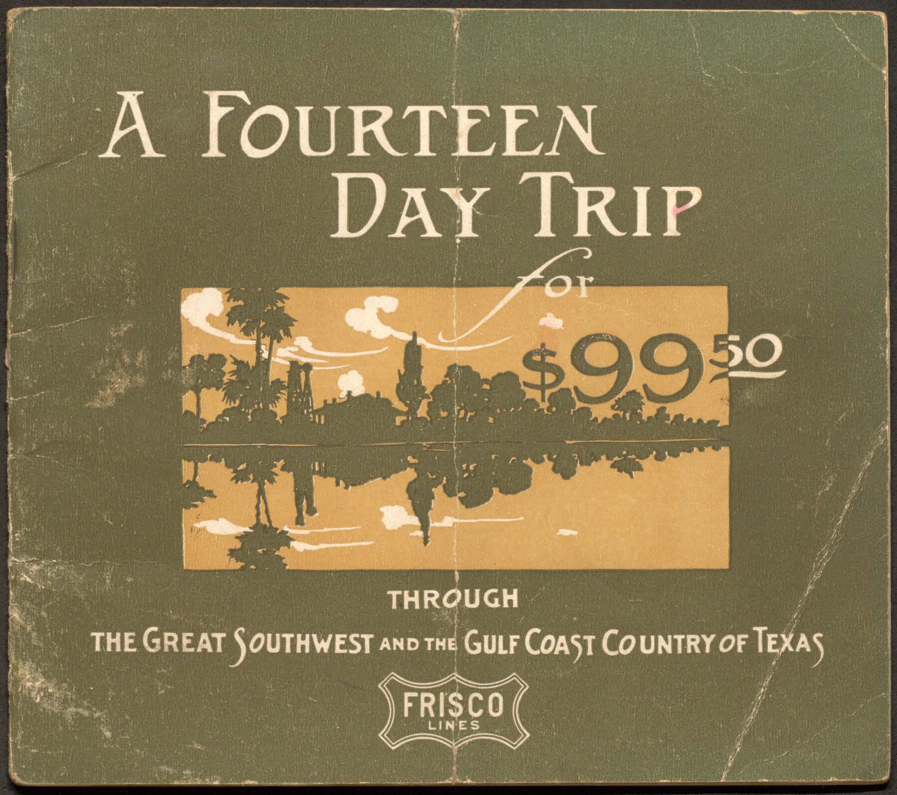
A Fourteen Day Trip for $99.50 through the Great Southwest and the Gulf Coast Country of Texas
- 
                          Map/Doc
96772
 - 
                            Collection
Cobb Digital Map Collection
 - 
                            Object Dates
1912 (Creation Date)
 - 
                            Subjects
Railroads Bound Volume
 - 
                            Medium
pdf
 - 
                            Comments
Courtesy of John & Diana Cobb.
 
Part of: Cobb Digital Map Collection
            "Iron Mountain Route" to all parts of Texas - I. & G. N., T. & P., Iron Mountain - "The Way to Texas"


                                            Print $20.00                    
                                             -                         Digital $50.00                                    
                "Iron Mountain Route" to all parts of Texas - I. & G. N., T. & P., Iron Mountain - "The Way to Texas"
1909
Size 22.0 x 24.0 inches
                                Map/Doc 95792
            
            Map of the Missouri, Kansas & Texas Railway and its connecting lines


                                            Print $20.00                    
                                             -                         Digital $50.00                                    
                Map of the Missouri, Kansas & Texas Railway and its connecting lines
1901
Size 16.3 x 9.1 inches
                                Map/Doc 95810
            
            Revised map of the State of Texas


                                            Print $20.00                    
                                             -                         Digital $50.00                                    
                Revised map of the State of Texas
1876
Size 19.6 x 19.7 inches
                                Map/Doc 95755
            
            Typical Scenes of Wichita Falls and District


                                            Print $20.00                    
                                             -                         Digital $50.00                                    
                Typical Scenes of Wichita Falls and District
1927
Size 13.7 x 16.6 inches
                                Map/Doc 96761
            
            The MKT - Texas Empire of the South


                                            Print $20.00                    
                                             -                         Digital $50.00                                    
                The MKT - Texas Empire of the South
1905
Size 18.6 x 40.6 inches
                                Map/Doc 97034
            
            Red River County, Texas


                                            Print $20.00                    
                                             -                         Digital $50.00                                    
                Red River County, Texas
Size 22.2 x 17.2 inches
                                Map/Doc 95756
            
            Tourists' Handbook Descriptive of Colorado, New Mexico and Utah


            Tourists' Handbook Descriptive of Colorado, New Mexico and Utah
1898
Size 9.4 x 6.4 inches
                                Map/Doc 97075
            
            Phelps's National Map of the United States, a Travellers Guide. Embracing the principal railroads, canals, steamboat & stage routes, throughout the Union


                                            Print $20.00                    
                                             -                         Digital $50.00                                    
                Phelps's National Map of the United States, a Travellers Guide. Embracing the principal railroads, canals, steamboat & stage routes, throughout the Union
1849
Size 20.9 x 26.3 inches
                                Map/Doc 95901
            
            The "Magic Valley" of the Lower Rio Grande - the Land of Golden Fruit


            The "Magic Valley" of the Lower Rio Grande - the Land of Golden Fruit
1930
Map/Doc 96745
            
            The Wonderful Lower Rio Grande Valley


                                            Print $20.00                    
                                             -                         Digital $50.00                                    
                The Wonderful Lower Rio Grande Valley
1909
Size 21.6 x 22.9 inches
                                Map/Doc 95798
            You may also like
            [Blocks JD, B, D10, A2, A3]


                                            Print $2.00                    
                                             -                         Digital $50.00                                    
                [Blocks JD, B, D10, A2, A3]
Size 7.3 x 13.4 inches
                                Map/Doc 90777
            
            Terrell County Sketch File 35


                                            Print $36.00                    
                                             -                         Digital $50.00                                    
                Terrell County Sketch File 35
1957
Size 32.0 x 37.6 inches
                                Map/Doc 10389
            
            [E. T. Ry. Blk. 1]


                                            Print $40.00                    
                                             -                         Digital $50.00                                    
                [E. T. Ry. Blk. 1]
Size 41.1 x 50.4 inches
                                Map/Doc 89796
            
            Galveston County Sketch File 28


                                            Print $42.00                    
                                             -                         Digital $50.00                                    
                Galveston County Sketch File 28
1913
Size 22.2 x 5.4 inches
                                Map/Doc 23410
            
            Lynn County Rolled Sketch H


                                            Print $20.00                    
                                             -                         Digital $50.00                                    
                Lynn County Rolled Sketch H
1902
Size 43.6 x 38.4 inches
                                Map/Doc 9472
            
            Coleman County Working Sketch 17


                                            Print $20.00                    
                                             -                         Digital $50.00                                    
                Coleman County Working Sketch 17
1952
Size 24.8 x 29.2 inches
                                Map/Doc 68083
            
            [F. W. & D. C. Ry. Co. Alignment and Right of Way Map, Clay County]


                                            Print $20.00                    
                                             -                         Digital $50.00                                    
                [F. W. & D. C. Ry. Co. Alignment and Right of Way Map, Clay County]
1927
Size 18.6 x 11.7 inches
                                Map/Doc 64727
            
            Wheeler County Working Sketch 2


                                            Print $40.00                    
                                             -                         Digital $50.00                                    
                Wheeler County Working Sketch 2
1957
Size 35.2 x 58.5 inches
                                Map/Doc 72491
            
            The Judicial District/County of Burleson. Abolished, Spring 1842


                                            Print $20.00                    
                                    
                The Judicial District/County of Burleson. Abolished, Spring 1842
2020
Size 14.1 x 21.7 inches
                                Map/Doc 96321
            
            Tom Green County Sketch File 76


                                            Print $20.00                    
                                             -                         Digital $50.00                                    
                Tom Green County Sketch File 76
1951
Size 24.5 x 24.7 inches
                                Map/Doc 12450
            
            [Sketch of most of Crosby County]


                                            Print $40.00                    
                                             -                         Digital $50.00                                    
                [Sketch of most of Crosby County]
Size 54.9 x 45.3 inches
                                Map/Doc 89762