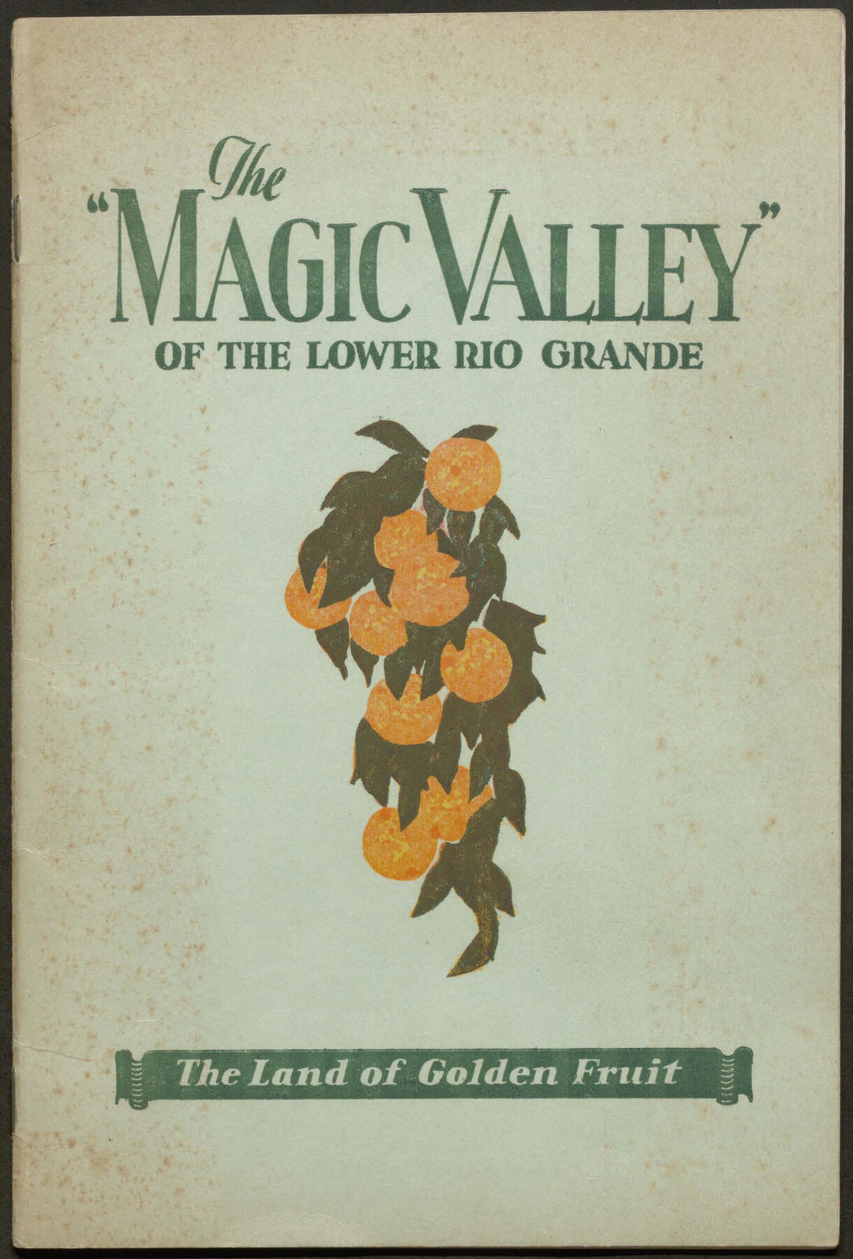
The "Magic Valley" of the Lower Rio Grande - the Land of Golden Fruit
-
Map/Doc
96745
-
Collection
Cobb Digital Map Collection
-
Object Dates
2/1930 (Creation Date)
-
People and Organizations
Southern Pacific Lines (Publisher)
-
Subjects
Railroads Bound Volume
-
Medium
pdf
-
Comments
Courtesy of John & Diana Cobb.
Part of: Cobb Digital Map Collection
Due Southwest over the Cotton Belt Route

Due Southwest over the Cotton Belt Route
1891
Map/Doc 96773
Map showing the route of the Corpus Christi, San Diego & Rio Grande Railroad, and its connections

Print $20.00
- Digital $50.00
Map showing the route of the Corpus Christi, San Diego & Rio Grande Railroad, and its connections
1880
Size 11.9 x 9.1 inches
Map/Doc 96765
Map of Texas with population and location of principal towns and cities according to latest reliable statistics

Print $20.00
- Digital $50.00
Map of Texas with population and location of principal towns and cities according to latest reliable statistics
1908
Size 18.5 x 20.4 inches
Map/Doc 95873
[Map 1:] A Geographically Correct County Map of States Traversed by the St. Louis, Iron Mountain and Southern Railway and its connections / [Map 2:] Map of the St. Louis, Iron Mountain and Southern Railway, and connections
![95784, [Map 1:] A Geographically Correct County Map of States Traversed by the St. Louis, Iron Mountain and Southern Railway and its connections / [Map 2:] Map of the St. Louis, Iron Mountain and Southern Railway, and connections, Cobb Digital Map Collection - 1](https://historictexasmaps.com/wmedia_w700/maps/95784.tif.jpg)
Print $20.00
- Digital $50.00
[Map 1:] A Geographically Correct County Map of States Traversed by the St. Louis, Iron Mountain and Southern Railway and its connections / [Map 2:] Map of the St. Louis, Iron Mountain and Southern Railway, and connections
1878
Size 18.9 x 32.2 inches
Map/Doc 95784
Sectional map of Texas traversed by the Missouri, Kansas & Texas Railway, showing the crops adapted to each section, with the elevation and annual rainfall

Print $20.00
- Digital $50.00
Sectional map of Texas traversed by the Missouri, Kansas & Texas Railway, showing the crops adapted to each section, with the elevation and annual rainfall
Size 21.9 x 22.8 inches
Map/Doc 95818
Map of the Missouri Pacific and St. Louis, Iron Mountain and Southern Railways and Connections

Print $20.00
- Digital $50.00
Map of the Missouri Pacific and St. Louis, Iron Mountain and Southern Railways and Connections
1895
Size 17.8 x 31.8 inches
Map/Doc 95790

Map of the Cincinnati, New Orleans and Texas Pacific Ry and connections

Print $20.00
- Digital $50.00
Map of the Cincinnati, New Orleans and Texas Pacific Ry and connections
1889
Size 7.7 x 12.2 inches
Map/Doc 95758
Through Texas - a Series of Interesting and Instructive Letters

Through Texas - a Series of Interesting and Instructive Letters
1893
Size 8.7 x 6.0 inches
Map/Doc 96600
A Geographically Correct County Map of States Traversed by the St. Louis, Iron Mountain & Southern Railway and its Connections

Print $20.00
- Digital $50.00
A Geographically Correct County Map of States Traversed by the St. Louis, Iron Mountain & Southern Railway and its Connections
1877
Size 18.5 x 16.1 inches
Map/Doc 95782
Map of the Texas & Pacific Railway and connections

Print $20.00
- Digital $50.00
Map of the Texas & Pacific Railway and connections
1911
Size 18.1 x 37.1 inches
Map/Doc 95770
Panhandle of Texas

Print $20.00
- Digital $50.00
Panhandle of Texas
1907
Size 11.4 x 14.4 inches
Map/Doc 95889
You may also like
Sulphur River, Bexelder Sheet/Cuthand Creek

Print $20.00
- Digital $50.00
Sulphur River, Bexelder Sheet/Cuthand Creek
Size 17.3 x 14.1 inches
Map/Doc 78325
Working Sketch in Crane County

Print $20.00
- Digital $50.00
Working Sketch in Crane County
1929
Size 29.2 x 34.3 inches
Map/Doc 90467
Coast Chart No. 210 Aransas Pass and Corpus Christi Bay with the coast to latitude 27° 12' Texas

Print $20.00
- Digital $50.00
Coast Chart No. 210 Aransas Pass and Corpus Christi Bay with the coast to latitude 27° 12' Texas
1913
Size 27.7 x 18.3 inches
Map/Doc 72798
Winkler County Sketch File 15

Print $10.00
- Digital $50.00
Winkler County Sketch File 15
1944
Size 14.3 x 8.6 inches
Map/Doc 40488

Donley County Sketch File 21

Print $4.00
- Digital $50.00
Donley County Sketch File 21
Size 8.4 x 9.5 inches
Map/Doc 21256
Edwards County Working Sketch 65

Print $20.00
- Digital $50.00
Edwards County Working Sketch 65
1956
Size 34.0 x 25.0 inches
Map/Doc 68941
Cochran County Rolled Sketch 5

Print $20.00
- Digital $50.00
Cochran County Rolled Sketch 5
1949
Size 21.5 x 22.0 inches
Map/Doc 5502
Uvalde County Working Sketch 36

Print $20.00
- Digital $50.00
Uvalde County Working Sketch 36
1965
Size 24.8 x 32.9 inches
Map/Doc 72106
[PSL Block A-12]
![93230, [PSL Block A-12], Twichell Survey Records](https://historictexasmaps.com/wmedia_w700/maps/93230-1.tif.jpg)
Print $20.00
- Digital $50.00
[PSL Block A-12]
Size 23.8 x 20.3 inches
Map/Doc 93230
[North/South line through middle of Block K5]
![90600, [North/South line through middle of Block K5], Twichell Survey Records](https://historictexasmaps.com/wmedia_w700/maps/90600-1.tif.jpg)
Print $3.00
- Digital $50.00
[North/South line through middle of Block K5]
Size 6.8 x 16.9 inches
Map/Doc 90600
Eastland County Boundary File 13

Print $68.00
- Digital $50.00
Eastland County Boundary File 13
Size 8.0 x 3.7 inches
Map/Doc 52785