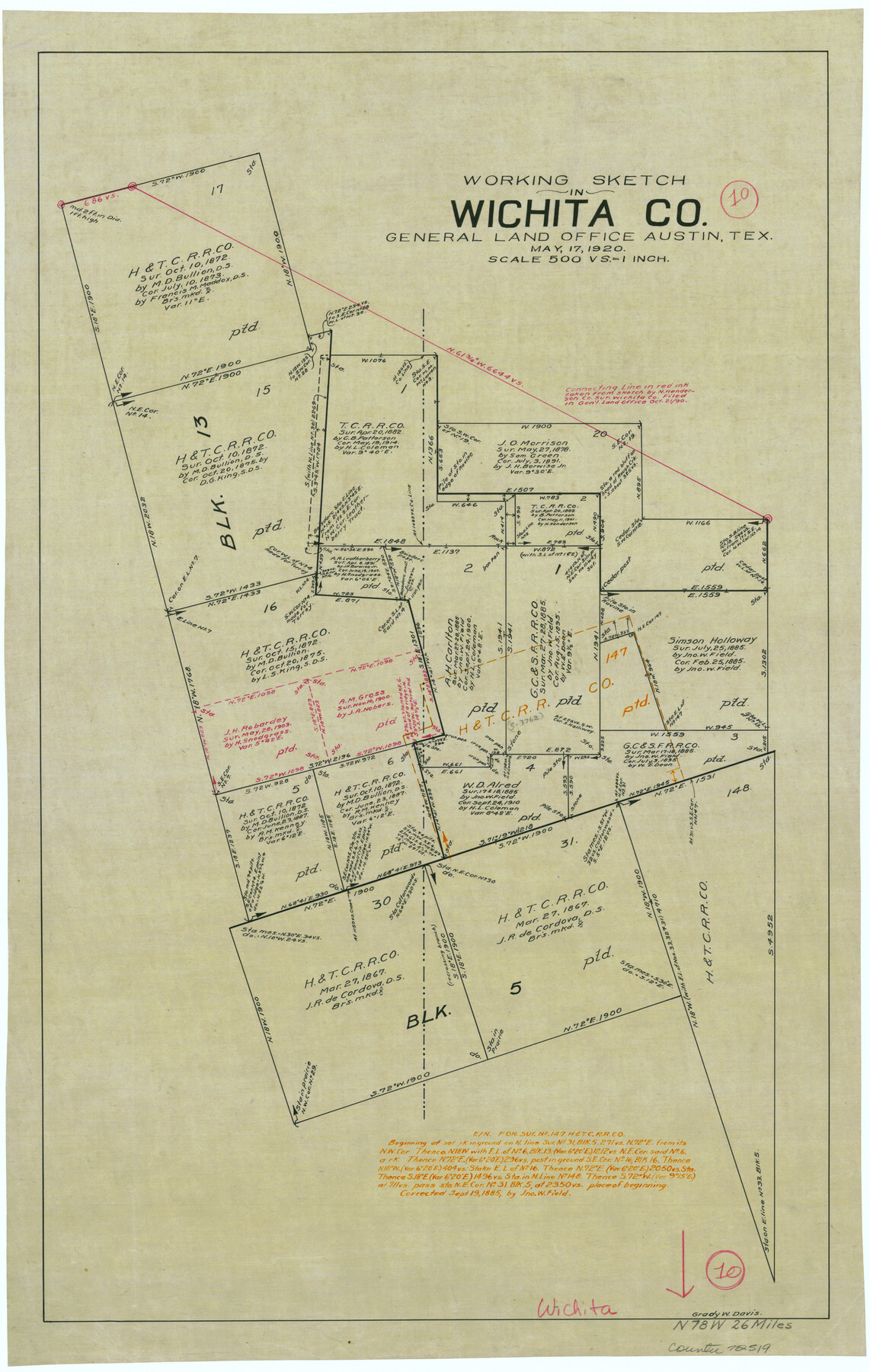
Wichita County Working Sketch 10
-
Map/Doc
72519
-
Collection
General Map Collection
-
Object Dates
5/17/1920 (Creation Date)
-
People and Organizations
Grady W. Davis (Draftsman)
-
Counties
Wichita
-
Subjects
Surveying Working Sketch
-
Height x Width
25.4 x 16.1 inches
64.5 x 40.9 cm
-
Scale
1" = 500 varas
Part of: General Map Collection
Coleman County Sketch File 29

Print $40.00
- Digital $50.00
Coleman County Sketch File 29
1873
Size 16.9 x 12.9 inches
Map/Doc 18718
Hamilton County Working Sketch 9

Print $20.00
- Digital $50.00
Hamilton County Working Sketch 9
1946
Size 31.3 x 24.0 inches
Map/Doc 63347
Map of Potter County

Print $20.00
- Digital $50.00
Map of Potter County
1895
Size 23.6 x 18.6 inches
Map/Doc 4589
Montgomery County Rolled Sketch 40A

Print $40.00
- Digital $50.00
Montgomery County Rolled Sketch 40A
1970
Size 40.4 x 57.5 inches
Map/Doc 9547
Guadalupe County Sketch File 2

Print $4.00
- Digital $50.00
Guadalupe County Sketch File 2
1848
Size 9.4 x 8.3 inches
Map/Doc 24648
Presidio County Sketch File 61

Print $3.00
- Digital $50.00
Presidio County Sketch File 61
1930
Size 9.3 x 15.4 inches
Map/Doc 89987
Laguna Madre, Register No. 1477B

Print $40.00
- Digital $50.00
Laguna Madre, Register No. 1477B
1880
Size 33.4 x 56.6 inches
Map/Doc 73607
Crockett County Sketch File 96

Print $4.00
- Digital $50.00
Crockett County Sketch File 96
1934
Size 11.4 x 8.9 inches
Map/Doc 19964
Matagorda County NRC Article 33.136 Sketch 13

Print $22.00
- Digital $50.00
Matagorda County NRC Article 33.136 Sketch 13
Size 24.2 x 36.0 inches
Map/Doc 95720
Map of Surveys Made for the T&PRR in Martin & Tom Green Counties, Blocks 34-39, Reserve West of the Colorado River

Print $20.00
- Digital $50.00
Map of Surveys Made for the T&PRR in Martin & Tom Green Counties, Blocks 34-39, Reserve West of the Colorado River
1876
Size 41.9 x 43.7 inches
Map/Doc 2226
No. 2 Chart of Corpus Christi Pass, Texas

Print $20.00
- Digital $50.00
No. 2 Chart of Corpus Christi Pass, Texas
1878
Size 18.3 x 27.3 inches
Map/Doc 73014
Anderson County Working Sketch 21

Print $20.00
- Digital $50.00
Anderson County Working Sketch 21
1954
Size 24.9 x 33.9 inches
Map/Doc 67021
You may also like
Childress County Sketch File 16a

Print $16.00
- Digital $50.00
Childress County Sketch File 16a
1901
Size 13.3 x 8.3 inches
Map/Doc 18309
Cochran County

Print $20.00
- Digital $50.00
Cochran County
1946
Size 33.0 x 25.3 inches
Map/Doc 73107
Map of Michigan, Wisconsin and part of Iowa to illustrate Olney's school geography

Print $20.00
- Digital $50.00
Map of Michigan, Wisconsin and part of Iowa to illustrate Olney's school geography
1844
Size 9.5 x 12.1 inches
Map/Doc 93542
Parker County Working Sketch 13

Print $20.00
- Digital $50.00
Parker County Working Sketch 13
1978
Map/Doc 71463
Montgomery County Sketch File 15

Print $4.00
- Digital $50.00
Montgomery County Sketch File 15
1906
Size 9.4 x 8.5 inches
Map/Doc 31817
Upton County Rolled Sketch 53

Print $20.00
- Digital $50.00
Upton County Rolled Sketch 53
Size 26.9 x 30.8 inches
Map/Doc 8088
Bandera County Sketch File 30A

Print $40.00
- Digital $50.00
Bandera County Sketch File 30A
Size 18.7 x 17.0 inches
Map/Doc 10899
Crosby County Working Sketch 16

Print $40.00
- Digital $50.00
Crosby County Working Sketch 16
1979
Size 37.4 x 59.3 inches
Map/Doc 68450
Reeves County Boundary File 73

Print $52.00
- Digital $50.00
Reeves County Boundary File 73
Size 9.1 x 7.6 inches
Map/Doc 58201
[Surveys in Power and Hewetson's Colony]
![2, [Surveys in Power and Hewetson's Colony], General Map Collection](https://historictexasmaps.com/wmedia_w700/maps/2.tif.jpg)
Print $20.00
- Digital $50.00
[Surveys in Power and Hewetson's Colony]
1830
Size 21.3 x 22.5 inches
Map/Doc 2
Hansford County Boundary File 1a

Print $2.00
- Digital $50.00
Hansford County Boundary File 1a
Size 11.2 x 8.8 inches
Map/Doc 54244
Austin Street Map & Guide

Digital $50.00
Austin Street Map & Guide
1999
Size 35.4 x 23.2 inches
Map/Doc 94095