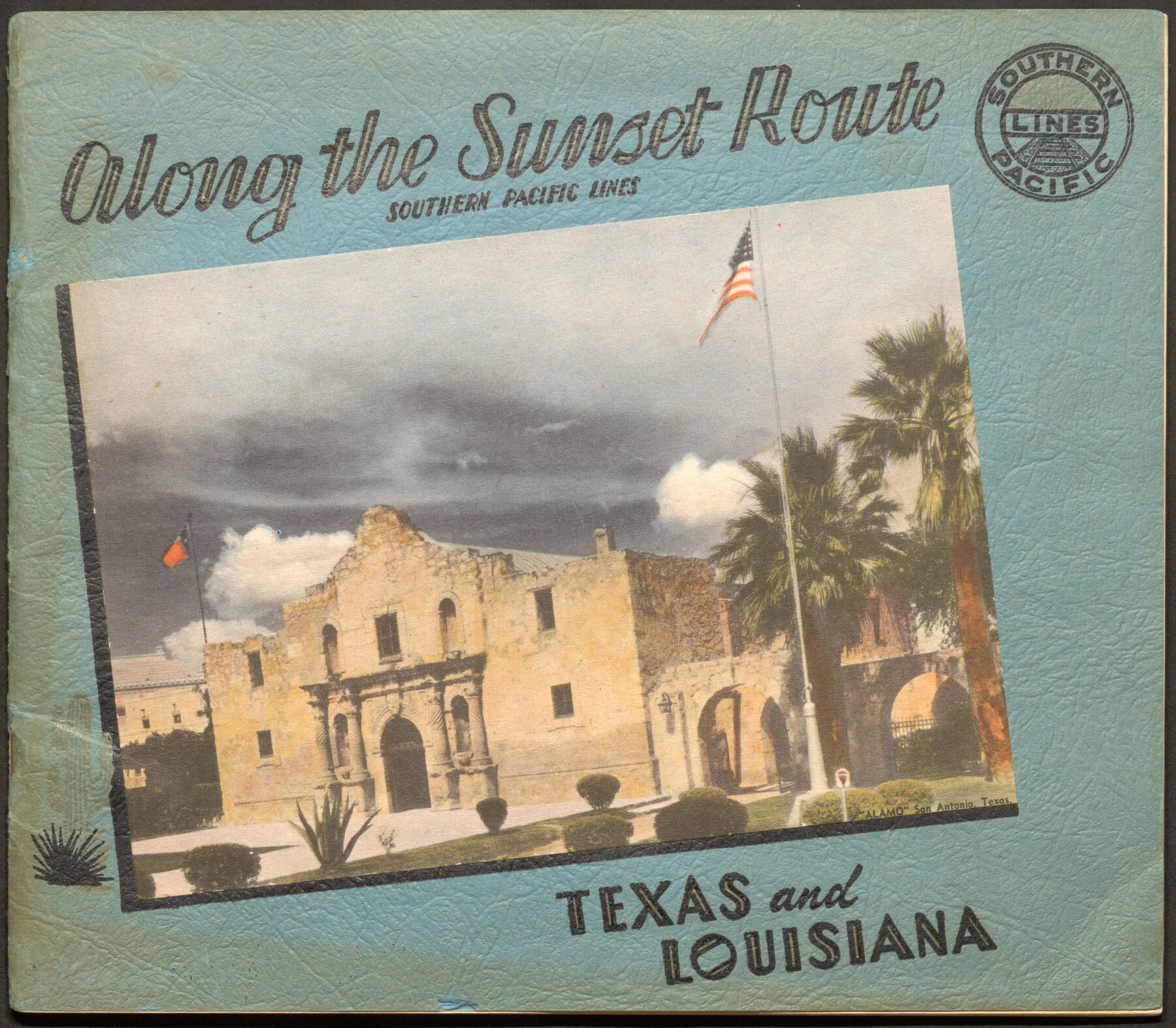
Along the Sunset Route, Southern Pacific Lines - Texas and Louisiana
Views of Texas and Louisiana, Southern Pacific Lines
-
Map/Doc
96720
-
Collection
Cobb Digital Map Collection
-
Object Dates
1947 (Creation Date)
-
People and Organizations
The Interstate Company (Publisher)
The Smith-Brooks Printing Co. (Printer)
-
Subjects
Bound Volume Railroads
-
Medium
pdf
-
Comments
Courtesy of John & Diana Cobb.
Part of: Cobb Digital Map Collection
San Antonio - as seen by a Northern Visitor

San Antonio - as seen by a Northern Visitor
1927
Size 10.6 x 7.9 inches
Map/Doc 97042
Texas, an Agricultural Empire

Texas, an Agricultural Empire
1915
Size 10.8 x 8.0 inches
Map/Doc 96593
Timely Tips to Texas Truckers

Timely Tips to Texas Truckers
1906
Size 9.3 x 6.2 inches
Map/Doc 96609
Map of the Missouri, Kansas, & Texas Railway and Connecting Lines

Print $20.00
- Digital $50.00
Map of the Missouri, Kansas, & Texas Railway and Connecting Lines
Size 11.2 x 17.2 inches
Map/Doc 96599
Souvenir of Galveston the Sea Wall City

Souvenir of Galveston the Sea Wall City
Size 5.7 x 7.6 inches
Map/Doc 97051

The Rand-McNally Official Railway Guide Map of the United States with portions of the Dominion of Canada, the Republic of Mexico, and the West Indies

Print $20.00
- Digital $50.00
The Rand-McNally Official Railway Guide Map of the United States with portions of the Dominion of Canada, the Republic of Mexico, and the West Indies
1927
Size 31.1 x 43.5 inches
Map/Doc 95864
A Geographically Correct Map of the State of Texas

Print $20.00
- Digital $50.00
A Geographically Correct Map of the State of Texas
1878
Size 19.5 x 21.0 inches
Map/Doc 95757

Map of Texas with population and location of principal towns and cities according to latest reliable statistics

Print $20.00
- Digital $50.00
Map of Texas with population and location of principal towns and cities according to latest reliable statistics
1908
Size 18.6 x 20.5 inches
Map/Doc 95872
Map of the Texas and Pacific Railway and connections

Print $20.00
- Digital $50.00
Map of the Texas and Pacific Railway and connections
1927
Size 8.2 x 9.4 inches
Map/Doc 95773
A Trip to Winter Garden District, Carrizo Springs, Texas in the Shallow Water Area of the Famous Artesian Belt

Print $20.00
- Digital $50.00
A Trip to Winter Garden District, Carrizo Springs, Texas in the Shallow Water Area of the Famous Artesian Belt
1920
Size 8.9 x 15.5 inches
Map/Doc 96766
You may also like
Morris County Rolled Sketch 2A

Print $20.00
- Digital $50.00
Morris County Rolled Sketch 2A
Size 24.0 x 18.7 inches
Map/Doc 10281
Map of Cherokee County

Print $20.00
- Digital $50.00
Map of Cherokee County
1848
Size 27.1 x 20.6 inches
Map/Doc 3390
La Salle County Sketch File 22

Print $4.00
- Digital $50.00
La Salle County Sketch File 22
1875
Size 12.8 x 8.2 inches
Map/Doc 29528
Galveston County NRC Article 33.136 Sketch 30

Print $20.00
- Digital $50.00
Galveston County NRC Article 33.136 Sketch 30
2005
Size 12.1 x 15.5 inches
Map/Doc 82997
Galveston County Working Sketch 14

Print $20.00
- Digital $50.00
Galveston County Working Sketch 14
1978
Size 33.6 x 40.4 inches
Map/Doc 69351
Hemphill County, State of Texas

Print $20.00
- Digital $50.00
Hemphill County, State of Texas
1888
Size 22.0 x 17.4 inches
Map/Doc 6187
Presidio County Rolled Sketch 57

Print $20.00
- Digital $50.00
Presidio County Rolled Sketch 57
1915
Size 22.8 x 17.3 inches
Map/Doc 7350
[Northwest part of the County]
![90841, [Northwest part of the County], Twichell Survey Records](https://historictexasmaps.com/wmedia_w700/maps/90841-2.tif.jpg)
Print $20.00
- Digital $50.00
[Northwest part of the County]
Size 17.9 x 34.9 inches
Map/Doc 90841
Castro County Boundary File 1b

Print $32.00
- Digital $50.00
Castro County Boundary File 1b
Size 14.1 x 8.6 inches
Map/Doc 51208
Panola County Working Sketch 25

Print $20.00
- Digital $50.00
Panola County Working Sketch 25
1957
Map/Doc 71434
Sketch Showing Division Fence Shelton- Matador, Oldham County

Print $20.00
- Digital $50.00
Sketch Showing Division Fence Shelton- Matador, Oldham County
Size 21.8 x 24.5 inches
Map/Doc 91486
Flight Mission No. DCL-5C, Frame 2, Kenedy County

Print $20.00
- Digital $50.00
Flight Mission No. DCL-5C, Frame 2, Kenedy County
1943
Size 18.5 x 22.5 inches
Map/Doc 85827