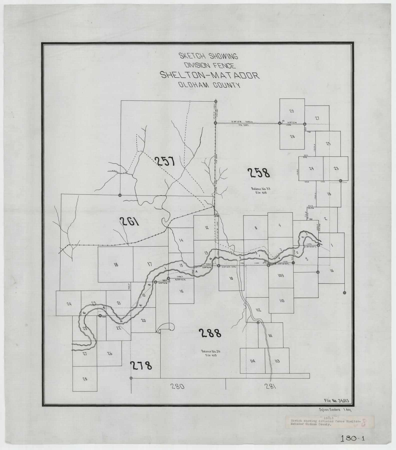
Sketch Showing Division Fence Shelton- Matador, Oldham County
180-1
-
Map/Doc
91486
-
Collection
Twichell Survey Records
-
Counties
Oldham
-
Height x Width
21.8 x 24.5 inches
55.4 x 62.2 cm
Part of: Twichell Survey Records
J. H. Webb Subdivision

Print $20.00
- Digital $50.00
J. H. Webb Subdivision
1951
Size 12.2 x 17.8 inches
Map/Doc 92412
Eastern Heights Addition to City of Lubbock, Texas a Subdivision of SW/4 of SW/4, Section 5, Block O, E. Hayes Sieber, Owner

Print $20.00
- Digital $50.00
Eastern Heights Addition to City of Lubbock, Texas a Subdivision of SW/4 of SW/4, Section 5, Block O, E. Hayes Sieber, Owner
1952
Size 18.0 x 23.1 inches
Map/Doc 92783
Part of Garza, Crosby, Lynn, and Lubbock Counties

Print $20.00
- Digital $50.00
Part of Garza, Crosby, Lynn, and Lubbock Counties
Size 25.3 x 20.2 inches
Map/Doc 91300
Spade Ranch Hockley County, Texas

Print $20.00
- Digital $50.00
Spade Ranch Hockley County, Texas
1948
Size 14.2 x 19.0 inches
Map/Doc 92225

[Surveys South of Levi Pruitt]
![92092, [Surveys South of Levi Pruitt], Twichell Survey Records](https://historictexasmaps.com/wmedia_w700/maps/92092-1.tif.jpg)
Print $3.00
- Digital $50.00
[Surveys South of Levi Pruitt]
1924
Size 11.3 x 11.6 inches
Map/Doc 92092
[Worksheets related to the Wilson Strickland survey and vicinity]
![91266, [Vicinity and related to the Wilson Strickland Survey], Twichell Survey Records](https://historictexasmaps.com/wmedia_w700/maps/91266-1.tif.jpg)
Print $20.00
- Digital $50.00
[Worksheets related to the Wilson Strickland survey and vicinity]
Size 35.8 x 17.5 inches
Map/Doc 91266
[H. & T. C. Block 47, H. & G. N. Block E]
![91259, [H. & T. C. Block 47, H. & G. N. Block E], Twichell Survey Records](https://historictexasmaps.com/wmedia_w700/maps/91259-1.tif.jpg)
Print $20.00
- Digital $50.00
[H. & T. C. Block 47, H. & G. N. Block E]
1874
Size 22.1 x 12.9 inches
Map/Doc 91259
Battlefields of the Civil War

Battlefields of the Civil War
1961
Size 25.8 x 19.7 inches
Map/Doc 92374
Map of Public Roads in Terry County, Texas

Print $20.00
- Digital $50.00
Map of Public Roads in Terry County, Texas
Size 34.0 x 37.4 inches
Map/Doc 91936
[T. & N. O. Block 3T, Martinez Survey, and William Heath Survey]
![91523, [T. & N. O. Block 3T, Martinez Survey, and William Heath Survey], Twichell Survey Records](https://historictexasmaps.com/wmedia_w700/maps/91523-1.tif.jpg)
Print $20.00
- Digital $50.00
[T. & N. O. Block 3T, Martinez Survey, and William Heath Survey]
Size 13.5 x 14.2 inches
Map/Doc 91523
[Surveys Adjacent to W. D. Twichell's near Palo Pinto Creek]
![92101, [Surveys Adjacent to W. D. Twichell's near Palo Pinto Creek], Twichell Survey Records](https://historictexasmaps.com/wmedia_w700/maps/92101-1.tif.jpg)
Print $2.00
- Digital $50.00
[Surveys Adjacent to W. D. Twichell's near Palo Pinto Creek]
Size 8.4 x 6.6 inches
Map/Doc 92101
You may also like
Montgomery County Boundary File 3

Print $6.00
- Digital $50.00
Montgomery County Boundary File 3
Size 17.0 x 9.9 inches
Map/Doc 57450
Webb County Working Sketch 59

Print $20.00
- Digital $50.00
Webb County Working Sketch 59
1960
Size 25.0 x 32.2 inches
Map/Doc 72425
Rio Grande Rectification Project, El Paso and Juarez Valley

Print $20.00
- Digital $50.00
Rio Grande Rectification Project, El Paso and Juarez Valley
1935
Size 10.7 x 29.6 inches
Map/Doc 60865
Cooke County Sketch File 42

Print $8.00
- Digital $50.00
Cooke County Sketch File 42
1940
Size 14.3 x 8.8 inches
Map/Doc 19316

Terrell County Rolled Sketch 12

Print $20.00
- Digital $50.00
Terrell County Rolled Sketch 12
Size 37.1 x 31.5 inches
Map/Doc 7926
Hutchinson County Working Sketch 42

Print $20.00
- Digital $50.00
Hutchinson County Working Sketch 42
1978
Size 27.3 x 23.2 inches
Map/Doc 66402
Lamar County Working Sketch 6

Print $20.00
- Digital $50.00
Lamar County Working Sketch 6
1964
Size 37.7 x 26.1 inches
Map/Doc 70267
Frio County Rolled Sketch 10

Print $20.00
- Digital $50.00
Frio County Rolled Sketch 10
1945
Size 34.0 x 35.7 inches
Map/Doc 8902
Brewster County Working Sketch 113

Print $20.00
- Digital $50.00
Brewster County Working Sketch 113
1982
Size 29.4 x 38.2 inches
Map/Doc 67713
Navarro County Boundary File 1a

Print $42.00
- Digital $50.00
Navarro County Boundary File 1a
Size 9.5 x 6.1 inches
Map/Doc 57605
Bexar County Rolled Sketch 16

Print $20.00
- Digital $50.00
Bexar County Rolled Sketch 16
1847
Size 21.1 x 14.8 inches
Map/Doc 5141