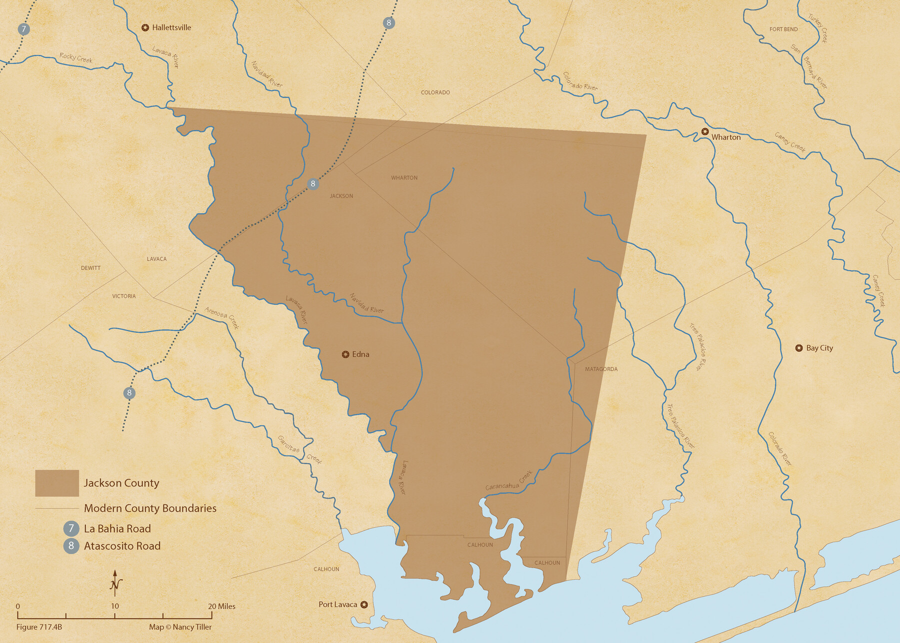
The Republic County of Jackson. 1841
Figure No. 717.4 from 'A Boundary Atlas of Texas, 1821-1845' by Jim Tiller
-
Map/Doc
96187
-
Collection
Nancy and Jim Tiller Digital Collection
-
Object Dates
2020/1/1 (Creation Date)
-
People and Organizations
Jim Tiller (Author)
Nancy Tiller (Cartographer)
Gang Gong (GIS Professional)
-
Counties
Jackson
-
Subjects
Atlas County Republic of Texas Texas Boundaries
-
Height x Width
15.6 x 21.8 inches
39.6 x 55.4 cm
-
Medium
digital image
-
Comments
To purchase a digital PDF copy of "A Boundary Atlas of Texas, 1821-1845" see 96437.
Part of: Nancy and Jim Tiller Digital Collection
The Republic County of Harrison. January 8, 1844

Print $20.00
The Republic County of Harrison. January 8, 1844
2020
Size 18.6 x 21.7 inches
Map/Doc 96175
From Citizens of Montgomery and Washington Counties to Redefine the Boundary Between Their Two Counties, Undated

Print $20.00
From Citizens of Montgomery and Washington Counties to Redefine the Boundary Between Their Two Counties, Undated
2020
Size 15.0 x 21.7 inches
Map/Doc 96402
The Republic County of Galveston. Created, May 15, 1838

Print $20.00
The Republic County of Galveston. Created, May 15, 1838
2020
Size 14.7 x 21.9 inches
Map/Doc 96143

From Citizens of Nacogdoches County for the Creation of a New County to be Called Smith, September 4, 1841

Print $20.00
From Citizens of Nacogdoches County for the Creation of a New County to be Called Smith, September 4, 1841
2020
Size 18.3 x 21.7 inches
Map/Doc 96392
Austin Empresario Colony. November 20, 1827

Print $20.00
Austin Empresario Colony. November 20, 1827
2020
Size 14.7 x 21.7 inches
Map/Doc 95981
The Chief Justice County of Red River. Undated

Print $20.00
The Chief Justice County of Red River. Undated
2020
Size 16.6 x 21.8 inches
Map/Doc 96065
The Republic County of Sabine. Boundaries Defined, December14, 1837

Print $20.00
The Republic County of Sabine. Boundaries Defined, December14, 1837
2020
Size 17.6 x 21.7 inches
Map/Doc 96269
The Republic County of Jefferson. January 29, 1842

Print $20.00
The Republic County of Jefferson. January 29, 1842
2020
Size 22.6 x 21.7 inches
Map/Doc 96199
From Citizens of Nacogdoches County to Redefine the Boundaries of Nacogdoches County, December 2, 1841

Print $20.00
From Citizens of Nacogdoches County to Redefine the Boundaries of Nacogdoches County, December 2, 1841
2020
Size 22.5 x 21.7 inches
Map/Doc 96395
The Chief Justice County of Mina. Lands in Conflict with Colorado County

Print $20.00
The Chief Justice County of Mina. Lands in Conflict with Colorado County
2020
Size 15.8 x 21.7 inches
Map/Doc 96062
The Republic County of Matagorda. Refined, January 25, 1841

Print $20.00
The Republic County of Matagorda. Refined, January 25, 1841
2020
Size 19.3 x 21.8 inches
Map/Doc 96221
You may also like
Mason County Sketch File 21A

Print $20.00
- Digital $50.00
Mason County Sketch File 21A
1932
Size 19.2 x 26.6 inches
Map/Doc 12037
Brewster County Working Sketch 73

Print $20.00
- Digital $50.00
Brewster County Working Sketch 73
1965
Size 24.0 x 32.1 inches
Map/Doc 67673
Roberts County Boundary File 3

Print $44.00
- Digital $50.00
Roberts County Boundary File 3
Size 14.2 x 9.3 inches
Map/Doc 58368
McLennan County

Print $20.00
- Digital $50.00
McLennan County
1946
Size 42.5 x 45.8 inches
Map/Doc 73235
James Subdivision of Tracts 4, 5, 6, 7, 8, 9, 10, 11, 12, 13 in Block 7 and Tracts 4, 5, 6, 7, 8, 9, 10, 11, 12, 13 in Block 8 of the Clutter Addition to the City of Lubbock

Print $20.00
- Digital $50.00
James Subdivision of Tracts 4, 5, 6, 7, 8, 9, 10, 11, 12, 13 in Block 7 and Tracts 4, 5, 6, 7, 8, 9, 10, 11, 12, 13 in Block 8 of the Clutter Addition to the City of Lubbock
1949
Size 16.1 x 18.6 inches
Map/Doc 92796
PSL Field Notes for Blocks A42 through A55 in Andrews County

PSL Field Notes for Blocks A42 through A55 in Andrews County
Map/Doc 81644
General Highway Map, Gillespie County, Texas

Print $20.00
General Highway Map, Gillespie County, Texas
1940
Size 18.2 x 24.9 inches
Map/Doc 79099
General Highway Map, Nacogdoches County, Texas

Print $20.00
General Highway Map, Nacogdoches County, Texas
1961
Size 19.3 x 25.0 inches
Map/Doc 79606
Crockett County Rolled Sketch 3

Print $20.00
- Digital $50.00
Crockett County Rolled Sketch 3
1886
Size 18.1 x 22.9 inches
Map/Doc 5579
Nueces County Rolled Sketch 67

Print $20.00
- Digital $50.00
Nueces County Rolled Sketch 67
1979
Size 25.4 x 36.9 inches
Map/Doc 6918
Bauer & Cockrell Lands Located in Martin County, Texas

Print $20.00
- Digital $50.00
Bauer & Cockrell Lands Located in Martin County, Texas
1908
Size 28.5 x 22.3 inches
Map/Doc 91365
